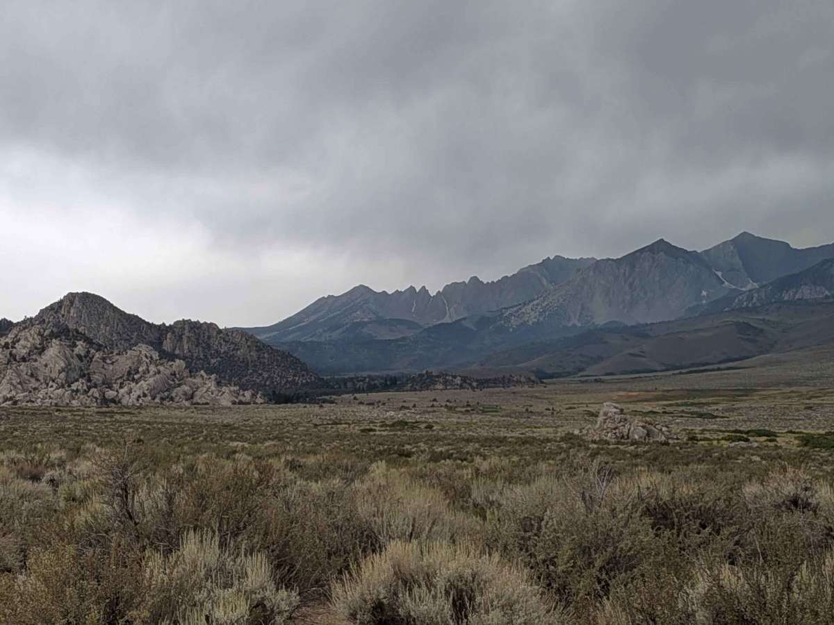
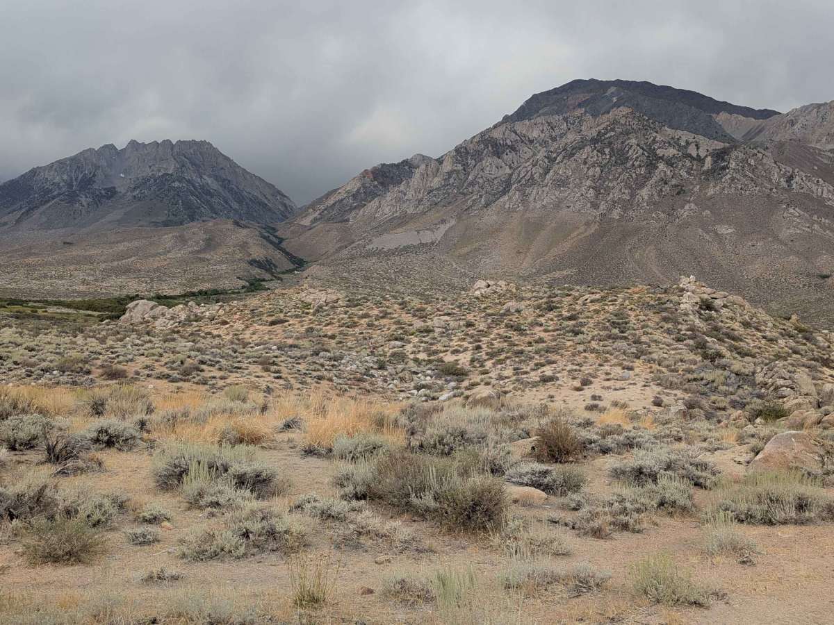
Trail Overview
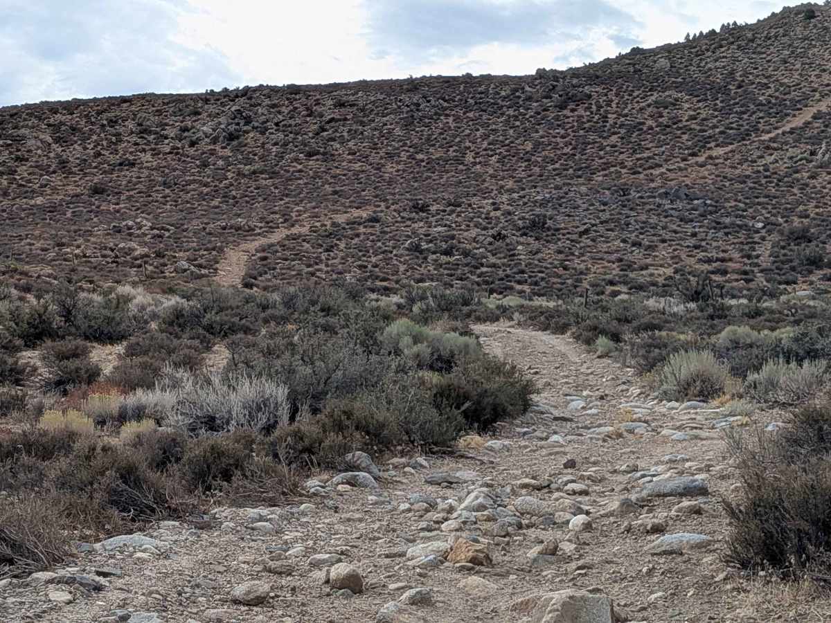
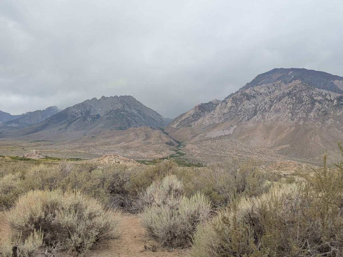
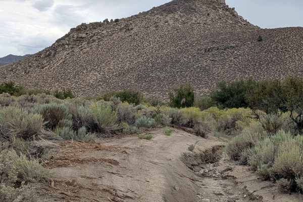
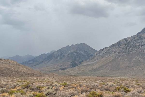
This route is part of the foothills of the Eastern Sierras, dropping down into the Pine Creek Mine Valley with the White Mountains visible on the other side. The trail connects to Pine Creek Mine Valley Trail and Longley Meadow FS7504, with various side trails, including 31E306, where ATVs are not allowed. At 1 mile in, the vegetation becomes very heavy and can get very muddy due to the nearby river, so be very cautious in springtime when conditions are likely to be muddy. The trail climbs out of the valley up into the hills via a short section of shelf road. After climbing out of the valley, it takes you into a really cool area with nice rock formations. Be sure to close the cattle gate on your way out, as the rocks end after the gate.
Difficulty
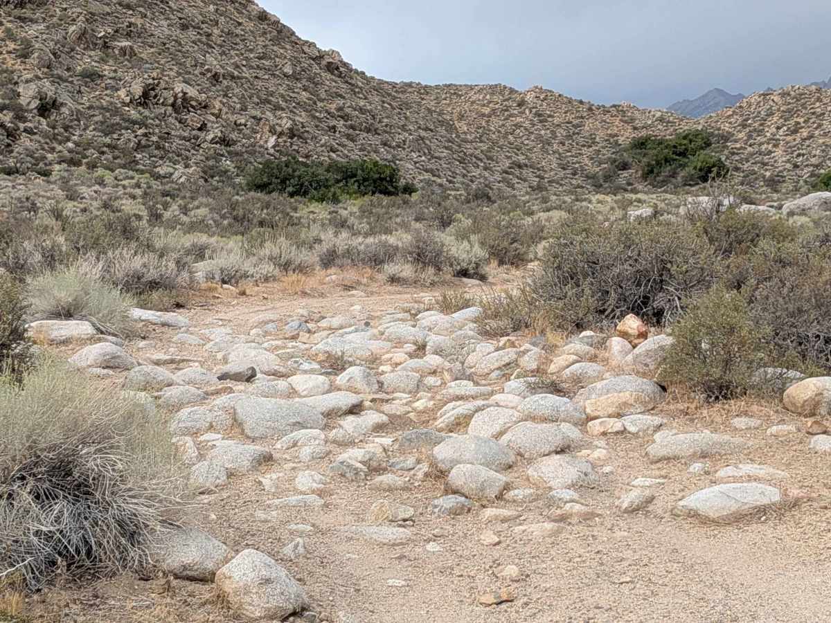
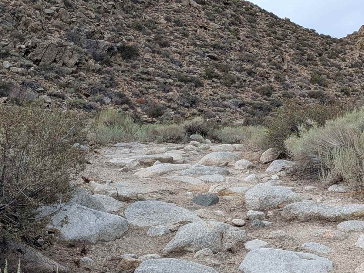
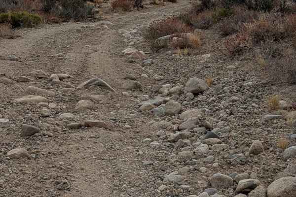
This trail earns a moderate-easy difficulty rating with its sand and gravel surface featuring lots of rocks from baseball to basketball size. The trail is one vehicle wide and lined with bushes. It gets very narrow at points with overgrown vegetation, meaning Sierra pinstripes will most likely occur on vehicles passing through the dense brush sections. The wet area can get muddy in the Spring or heavy rains.