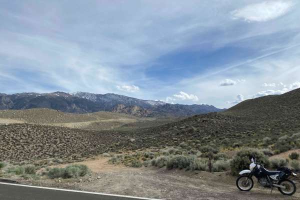
Coyote Flats FS7S10

Total Miles 7.8
Technical Rating
4 Moderate
Best Time Summer, Fall
Trail Type Full-Width Road
Accessible By
Open Trail Map

Trail Overview

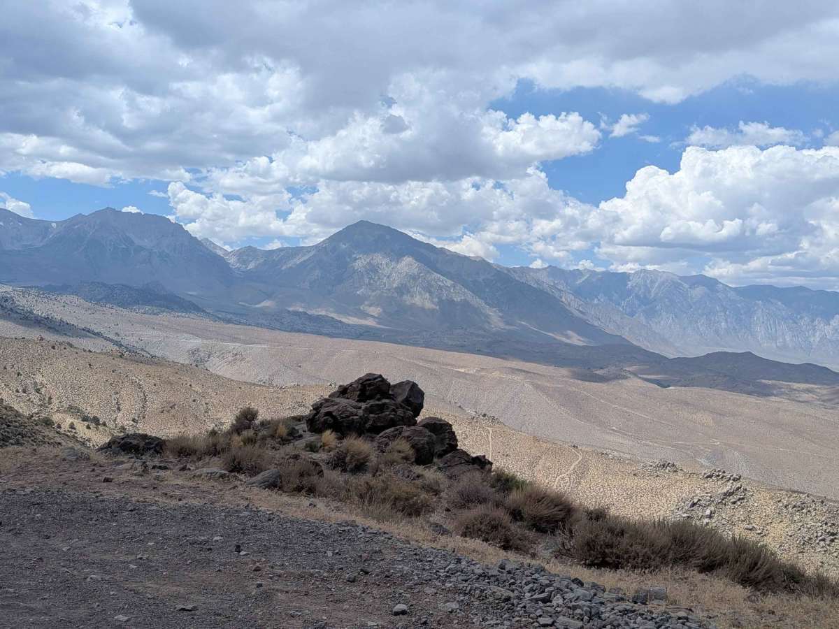
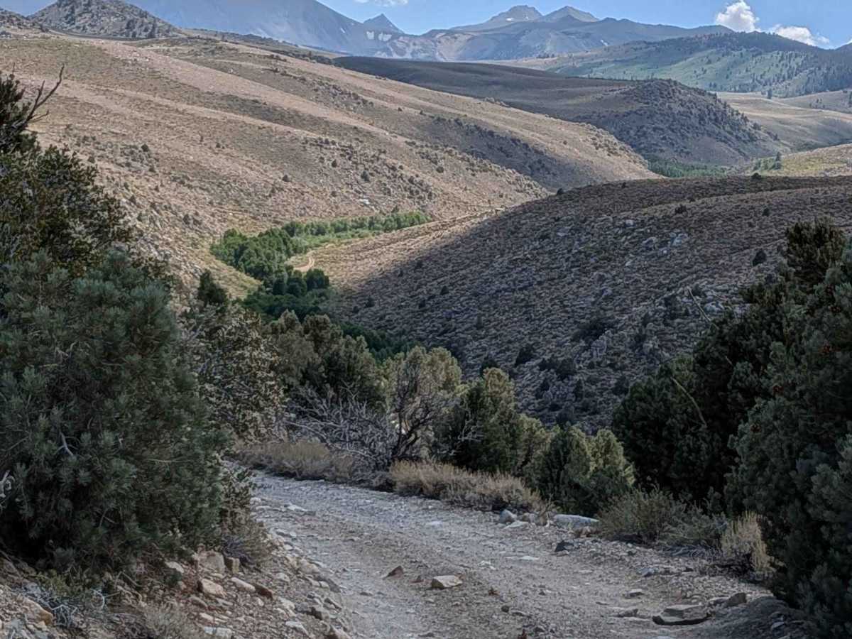
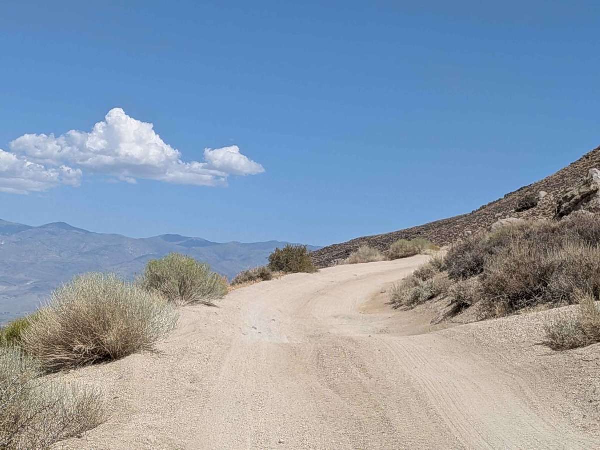
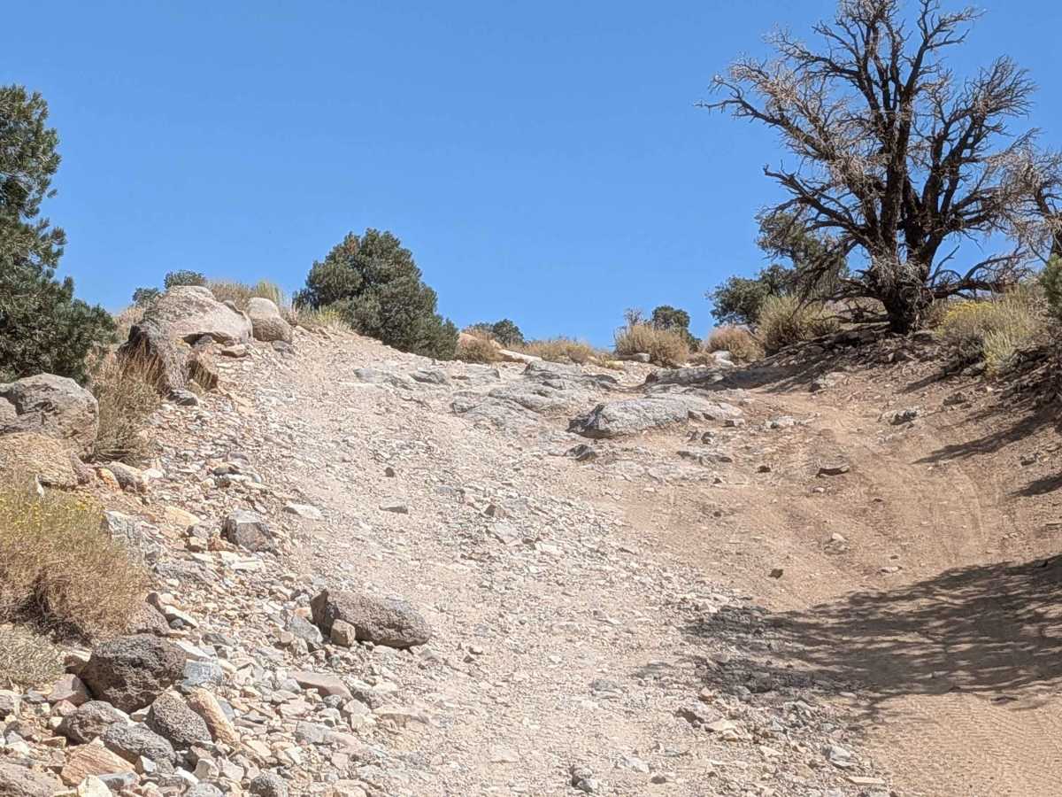
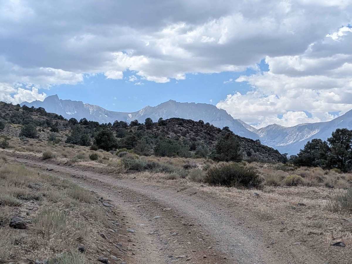
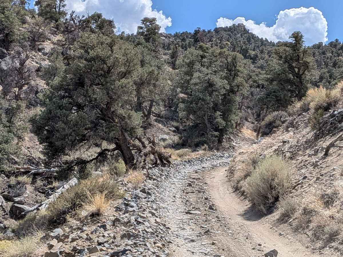
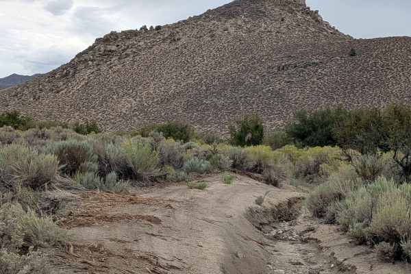
This dramatic ascent climbs almost 4,000 feet in just under 8 miles, utilizing shelf roads and switchbacks to navigate the steep terrain. The route offers stunning views of the valley below and dramatic vistas of the Eastern Sierra mountain peaks throughout the climb. After the first mile, the road becomes more rocky with very dramatic views of the Eastern Sierras and White Mountains. After 2 miles, it starts to level off with a slow, gradual climb. Around mile 4, the trail passes through a section with interesting granite rock formations in a sparse pine forest filled with lots of brush and wildflowers. By mile 5.5, it opens up into a big meadow surrounded by mountains, eventually ending in the middle of a large valley with views of mountains in all directions.

Photos of Coyote Flats FS7S10

Difficulty

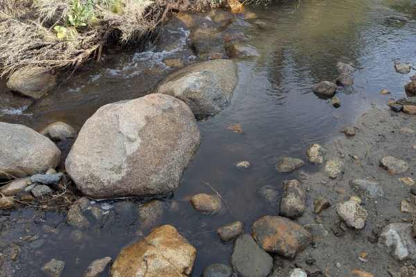
This trail earns a moderate difficulty rating due to its challenging terrain features. The route includes lots of big holes with articulating off-camber sections that are mostly sandy, with some rocks in the first mile and after the third mile. The shelf roads and switchbacks require careful navigation, and there are a couple of small water crossings along the way.

History

Coyote Flats, near Bishop, California, has a history rooted in mining and military use. Originally known as Coyote Plateau, the area features a high-altitude airstrip, once the highest in the country, that was used for military testing. Mining activity, particularly for tungsten during WWII, also shaped the area.

Technical Rating

4

Status Reports

Add Status Report
Michael Virgin
May 19, 2026
Open
Lower trail is dry and in decent shape. Be aware of new forest service water bars, some are big with near vertical backsides when going up. Funnel lake is accessible via the north route or over one snow drift to the south. South route is very wet and not passable by a vehicle larger than a bike. The road to green lake overlook is impassable at 11,300 feet. Baker creek end is wide open. The drop into Big Pine is the worst I’ve seen it. Very loose and very rutted.
Adam Leidy
Apr 17, 2026
Open
Funnel and Green Lakes are currently not accessible due to several large snow drifts. Please do not drive out into the meadows to bypass the drifts. This causes significant resource damage and you could receive a ticket!
Conor Kelly
Mar 01, 2026
Open
Snow wasn’t deep but was a mix of snow and ice. Made it 8 miles in but there was a hill with multiple switchbacks and full of ivy snow. Rest of the trail is fine but some new boulders in trail a couple places, though we got around them. Would not try again with snow below the meadow as price of failure is high near edges.
Rooster Cogburn
Oct 24, 2025
Open
Very little snow on the flats. Came up from Big Pine, camped a couple days on the south end at Baker Creek. Excited out the north end at Bishop. A little snow and wet in spots, but nothing too difficult.
Terry Tucker
Oct 09, 2025
Open
If you are a beginner or a novice, plan on 1 hour up the trail and one hour back down. For all readers of this review, enter the Trail from the Bishop side of the trail which is just off highway 168. It is highly suggested to also travel down the same trail you went up - that is from the Bishop Side. The trail is a popular area with a lot of quads and dirt bikes. it is especially busy on Friday, Saturday and Sunday. For the portion of the trail to the actual Flats, you do not need high clearance, but I would suggest good tires. The views of the valley from the actual flat are really good and there are plenty of dispersed camping spots.
Carlo M
Sep 25, 2025
Open
Trail was fairly easy, decent 3 if you include the incline and switchbacks up. Used 4lo to help with trans temp during long uphill climbs. Flats were beautiful, leaves turning. Small water crossings. Took this and continued to Funnel Lake, south route. Stock 4x4 will make it, some rocky sections
Henry Widdop
Sep 14, 2025
Open
Agree with everything on the original trail information. Only a 4 because it’s very steep in some sections with lots of switchbacks. Continued on the Green Lake from here.

Coyote Flats FS7S10 Trail can be accessed by the following ride types:

  • Single Track
  • 50 Inch
  • 60 Inch
  • High Clearance
  • Full Width

Coyote Flats FS7S10 Map

The onX Offroad Difference

onX Offroad combines trail photos, descriptions, difficulty ratings, width restrictions, seasonality, and more in a user-friendly interface. Available on all devices, with offline access and full compatibility with CarPlay and Android Auto. Discover what you're missing today!

Open Trail Map