
Dirt Bike Trails
Near Dardanelle, Arkansas
Explore All Dirt Bike Trails Near Dardanelle, Arkansas
Dirt Bike Trails Near Dardanelle, Arkansas
Discover the best dirt bike trails near you. Browse trail maps, check difficulty ratings, and find your next adventure — whether you're looking for a quick ride or an all-day expedition.
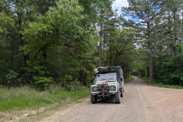
Slo Fork Road
Slo Fork is a well-maintained gravel road characterized by frequent corrugations and bumps, making cautious driving at lower speeds advisable. The route passes through picturesque landscapes dotted with private properties and rural farmsteads, offering scenic views of agricultural land before transi...
Learn more about Slo Fork Road
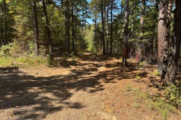
McReynolds Cemetery Road
This route follows Forest Road 1694 through a heavily wooded section of the Mount Magazine Ranger District. The surface varies between compacted native dirt, scattered gravel, and loose rock, with fallen leaves and pine needles covering portions of the roadway. Mature pines and hardwoods dominate th...
Learn more about McReynolds Cemetery Road
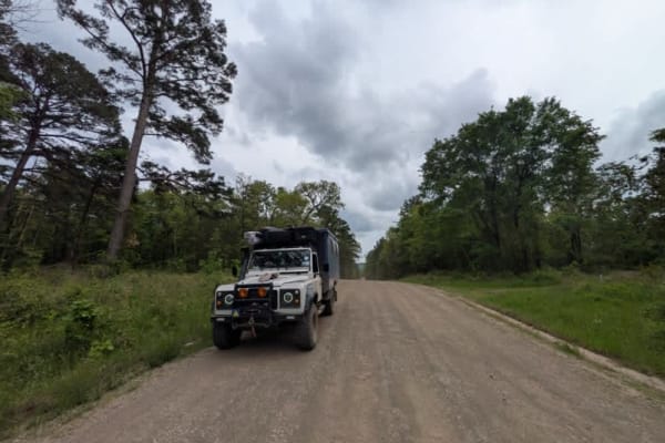
Harker Valley Road
Harker Valley is a wide gravel trail that offers a scenic drive through dense forest, but it is heavily rutted with deep potholes, often hidden in the shade. Drivers are advised to proceed slowly to protect their tires and suspension. Along the route are at least two established dispersed campsites ...
Learn more about Harker Valley Road
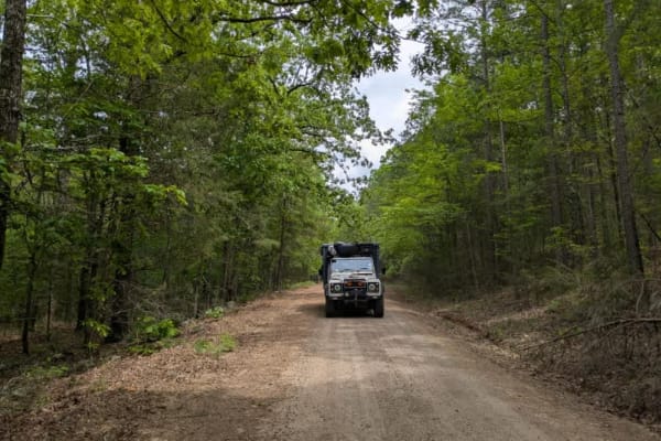
Carter Mountain
Carter Mountain trail is a maintained gravel route that becomes rough and rocky, featuring winding segments and areas overgrown with vegetation. Logging activity is evident along the trail, with blue-painted trees marking those selected for harvest, orange paint indicating protected trees, and purpl...
Learn more about Carter Mountain
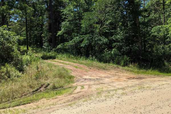
Chickalah Mountain East Trail
This is an easy trail through the pine forests on Chickalah Mountain. The trails are gravel roads with a few mud puddles and creek crossings. Most puddles have a hard bottom and all roads are passable in any vehicle you are willing to take off-road. One creek crossing could be deep if it has rained ...
Learn more about Chickalah Mountain East Trail
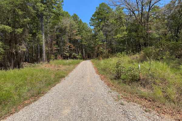
Dean Reid
This through route travels through a mixture of mature pine and hardwood forest, with grasses, shrubs, young pines, and other understory vegetation lining the roadway. The surface changes considerably along the route, transitioning between maintained light-colored gravel, native dirt, scattered loos...
Learn more about Dean Reid
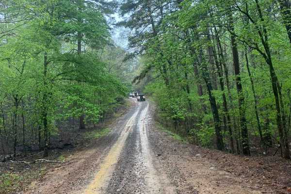
Little Bigger Road
Little Bigger Road is an easy, well-maintained gravel road that serves as a primary access route into deeper trail systems near Mount Magazine, making it ideal for reaching more technical trails without much effort. It had been raining all night, so conditions were pretty wet, but the road held up w...
Learn more about Little Bigger Road
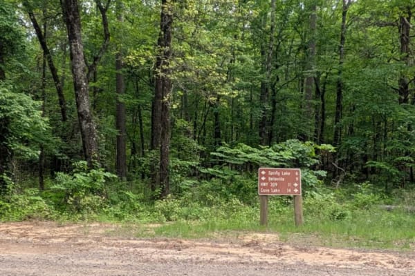
Spring Lake Northern Access Road
Spring Lake Northern Access Road is a wide, well-maintained route that winds through scenic farmland, offering a peaceful and open drive. However, the trail surface is severely corrugated, particularly on the ascents and descents, making cautious driving essential to avoid vehicle damage. While the ...
Learn more about Spring Lake Northern Access Road
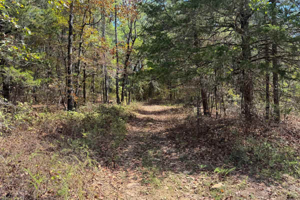
FS 96012A
This through route follows a narrow, lightly traveled forest road through the Mount Magazine Ranger District. The surface is primarily native dirt with scattered gravel and small exposed rock, while long sections are covered by fallen leaves and a thick layer of pine needles. The surrounding forest ...
Learn more about FS 96012A
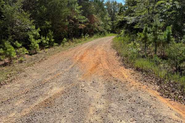
Long Branch
This route travels through a mixture of mature pine and hardwood forest on a surface that varies from maintained gravel to compacted native dirt and rocky two-track. Some sections are relatively broad and well covered with gravel, while others narrow considerably and have grass growing between the t...
Learn more about Long Branch
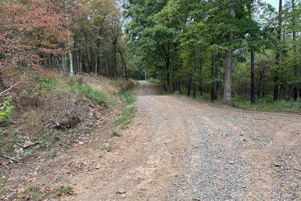
FS 96058A
This through route connects Spiderweb (FS 1622B) with Little Bigger Road through the Mount Magazine Ranger District of the Ozark National Forest. Forest Service maps identify FS 1622B as part of the road network near Sorghum Hollow. The route follows a graded gravel and dirt surface, with loose grav...
Learn more about FS 96058A
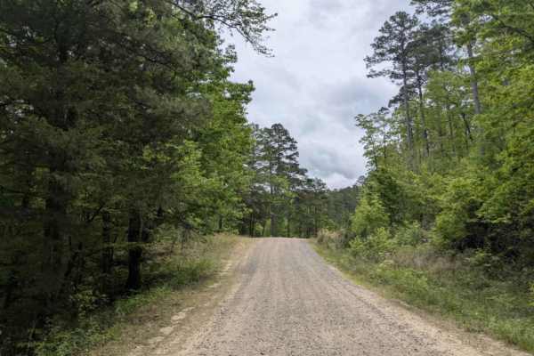
FS 1601
Spring Lake Road Access is a maintained gravel route frequently traveled by visitors heading to the lake, resulting in noticeable corrugations and potholes that make moderate driving speeds advisable. The trail eventually leads to a campground open seasonally from Memorial Day to Labor Day. Alongsid...
Learn more about FS 1601
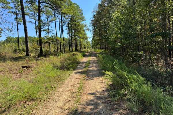
North Bluff
This through route follows a mostly gravel-based forest road through a mixture of mature pine stands and hardwood forest. The surface consists primarily of compacted light-colored gravel and native dirt, with scattered loose stone and grass growing between the tire tracks in several areas. The roadw...
Learn more about North Bluff
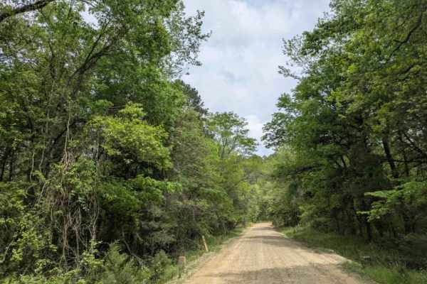
Spring Lake Access Road
Spring Lake is a maintained gravel road that offers an easy and pleasant drive through picturesque farmland and open pastures. The surrounding area is largely composed of private land and farmsteads, and there is a steady amount of local traffic, so drivers should exercise caution. While the trail p...
Learn more about Spring Lake Access Road
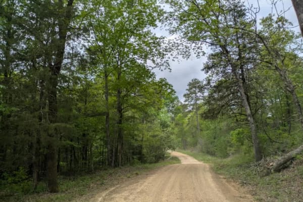
White Creek
White Creek is a maintained but rugged trail characterized by its bumpy, rocky terrain as it gently winds through scenic forest areas. Travelers will encounter a few dry creek crossings, particularly noticeable in April, and several smaller side trails branching off the main path. The route offers a...
Learn more about White Creek
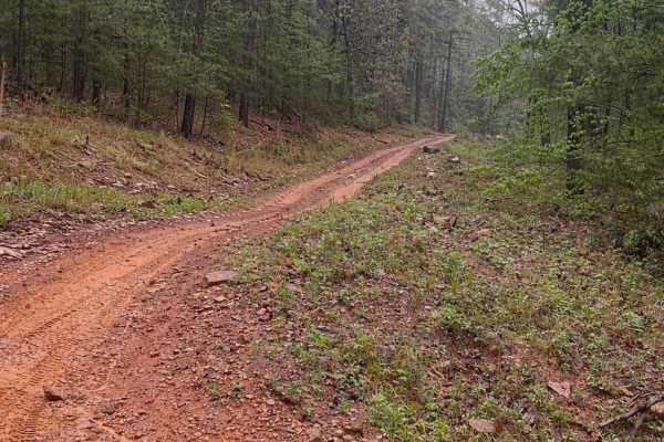
FS 9066D
This trail is a short but punchy hill climb that offers a solid challenge with loose rock, shelves, and steep grades in a classic Ozark hardwood forest setting. The route features a steady climb with multiple technical sections, including rock shelves and ledges that require careful tire placement, ...
Learn more about FS 9066D
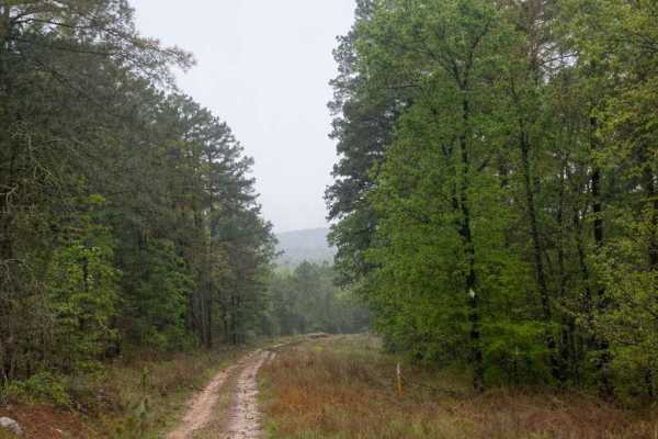
Horne Road
Horne Road is a fun, moderately challenging ridge-top trail that offers a steady descent down to a county road. While not extremely technical, it provides enough obstacles and terrain variety to keep drivers engaged from start to finish. The trail begins along a scenic ridge top with a gradual desce...
Learn more about Horne Road
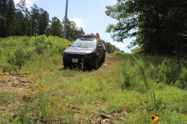
Power Line BUZZ
These short gravel roads lead to a power line right of way. This power line area has an open area that could be used for dispersed camping if you can deal with the BUZZ from the electric lines above. This road used to continue on to some camping spots, but after going under the power lines, it is bl...
Learn more about Power Line BUZZ
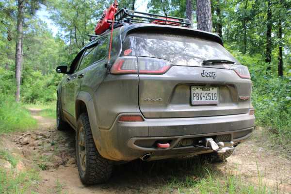
Danville Mountain
These forest roads consist of F63D, F64E, 658D, and 658 and exits at Growly Road. Some of these roads are narrow and overgrown. A few places will require a bit of ground clearance. Depending on vehicle width scratches are possible. Washouts and ruts will require choosing a line if ground clearance i...
Learn more about Danville Mountain
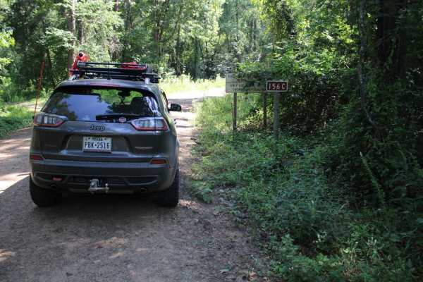
Kingston Road (156C)
East off Highway 27, starts Kingston Road (156c) that travels east to Peeler Gap Road (YE15). This gravel road winds through the beautiful Ouachita National Forest. During dry weather, the road can be dusty and it can be messy when wet. There can be water crossings during and after rain. Dispersed c...
Learn more about Kingston Road (156C)
ATV trails near Dardanelle, Arkansas
Explore ATV-friendly trails near you. These trails are accessible for vehicles up to 50 inches wide, perfect for ATVs and smaller off-road machines.
Slo Fork Road
Slo Fork is a well-maintained gravel road characterized by frequent corrugations and bumps, making cautious driving at lower speeds advisable. The route passes through picturesque landscapes dotted with private properties and rural farmsteads, offering scenic views of agricultural land before transi...
Learn more about Slo Fork Road
McReynolds Cemetery Road
This route follows Forest Road 1694 through a heavily wooded section of the Mount Magazine Ranger District. The surface varies between compacted native dirt, scattered gravel, and loose rock, with fallen leaves and pine needles covering portions of the roadway. Mature pines and hardwoods dominate th...
Learn more about McReynolds Cemetery Road
Harker Valley Road
Harker Valley is a wide gravel trail that offers a scenic drive through dense forest, but it is heavily rutted with deep potholes, often hidden in the shade. Drivers are advised to proceed slowly to protect their tires and suspension. Along the route are at least two established dispersed campsites ...
Learn more about Harker Valley Road
Carter Mountain
Carter Mountain trail is a maintained gravel route that becomes rough and rocky, featuring winding segments and areas overgrown with vegetation. Logging activity is evident along the trail, with blue-painted trees marking those selected for harvest, orange paint indicating protected trees, and purpl...
Learn more about Carter Mountain
UTV/side-by-side trails near Dardanelle, Arkansas
Find UTV and side-by-side trails near you. These trails accommodate vehicles up to 60 inches wide, ideal for UTVs, side-by-sides, and wider off-road rigs.
Slo Fork Road
Slo Fork is a well-maintained gravel road characterized by frequent corrugations and bumps, making cautious driving at lower speeds advisable. The route passes through picturesque landscapes dotted with private properties and rural farmsteads, offering scenic views of agricultural land before transi...
Learn more about Slo Fork Road
McReynolds Cemetery Road
This route follows Forest Road 1694 through a heavily wooded section of the Mount Magazine Ranger District. The surface varies between compacted native dirt, scattered gravel, and loose rock, with fallen leaves and pine needles covering portions of the roadway. Mature pines and hardwoods dominate th...
Learn more about McReynolds Cemetery Road
Harker Valley Road
Harker Valley is a wide gravel trail that offers a scenic drive through dense forest, but it is heavily rutted with deep potholes, often hidden in the shade. Drivers are advised to proceed slowly to protect their tires and suspension. Along the route are at least two established dispersed campsites ...
Learn more about Harker Valley Road
Carter Mountain
Carter Mountain trail is a maintained gravel route that becomes rough and rocky, featuring winding segments and areas overgrown with vegetation. Logging activity is evident along the trail, with blue-painted trees marking those selected for harvest, orange paint indicating protected trees, and purpl...
Learn more about Carter Mountain
The onX Offroad Difference
onX Offroad combines trail photos, descriptions, difficulty ratings, width restrictions, seasonality, and more in a user-friendly interface. Available on all devices, with offline access and full compatibility with CarPlay and Android Auto. Discover what you're missing today!
Open Trail Map