Slo Fork Road

Total Miles6.2
Technical Rating
1Easy
Best TimeSpring, Summer, Winter, Fall
Trail TypeFull-Width Road
Accessible By
Open Trail Map

Trail Overview

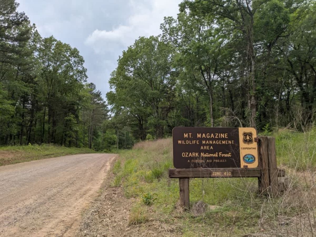
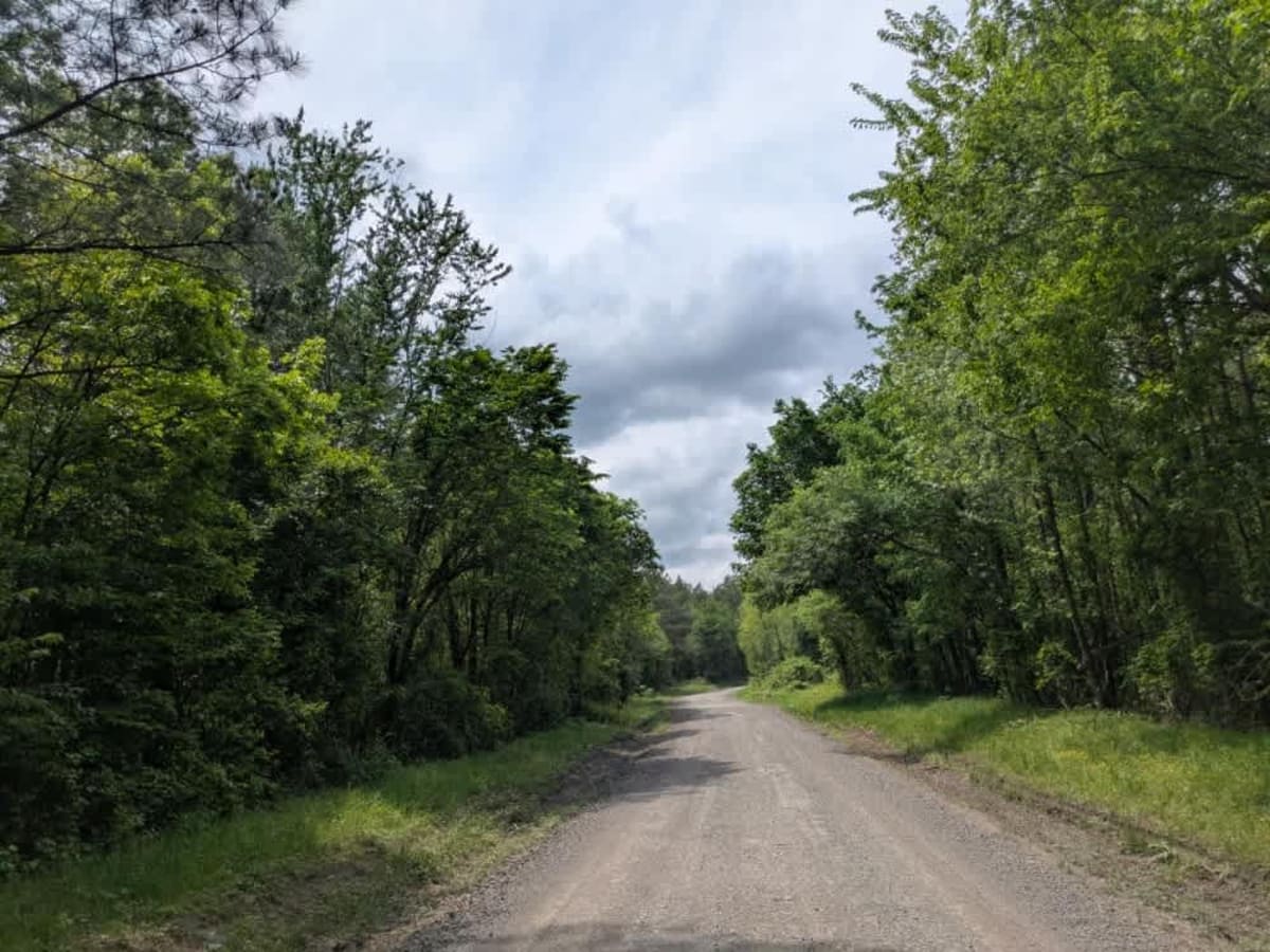
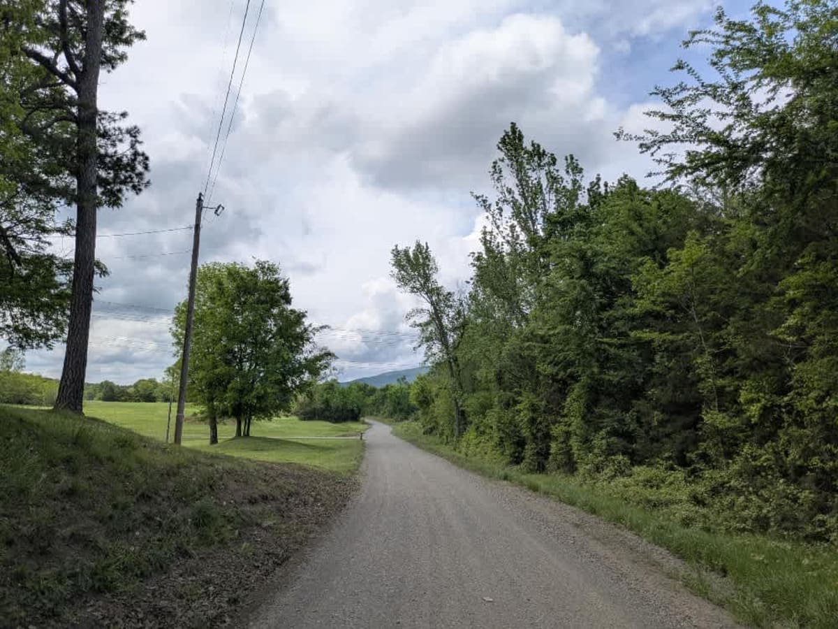
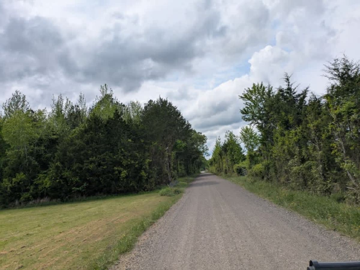
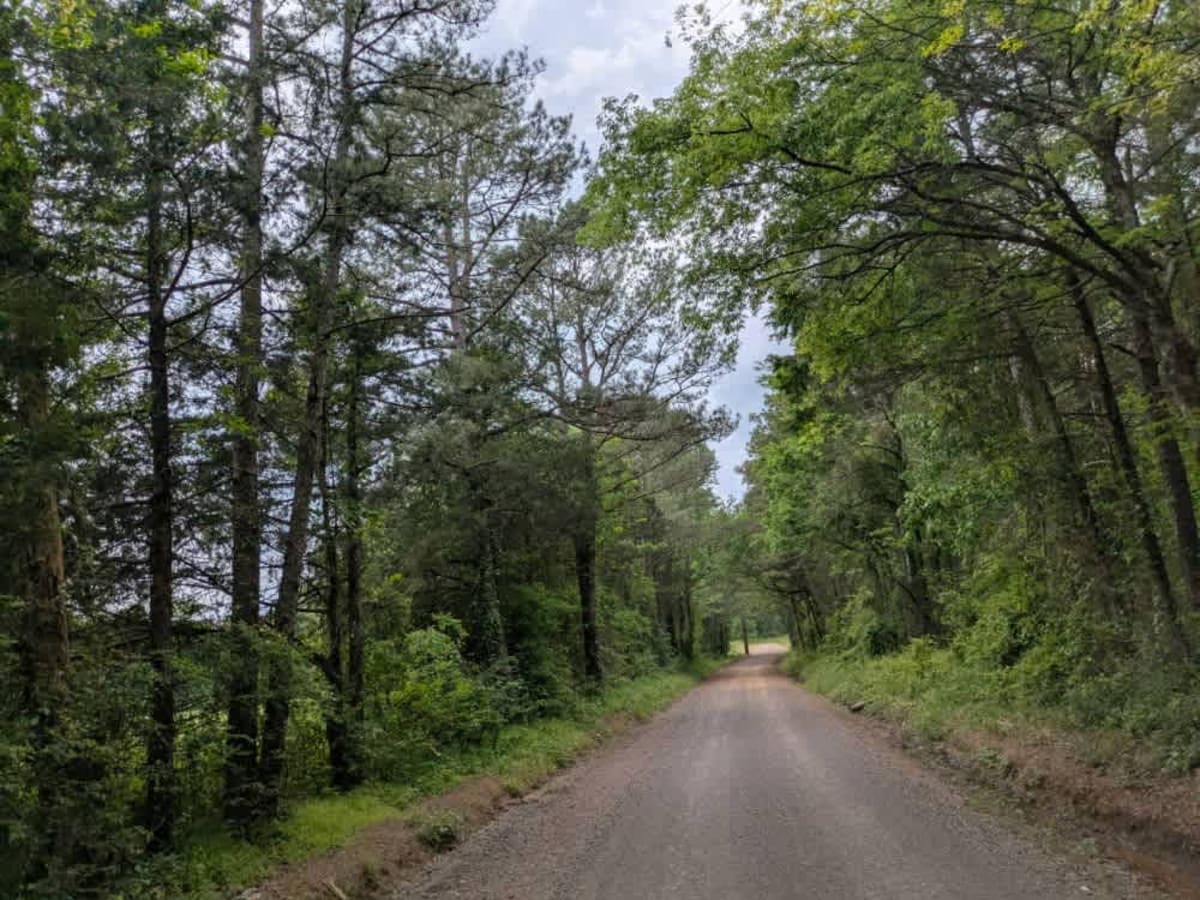
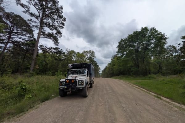
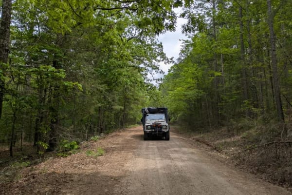
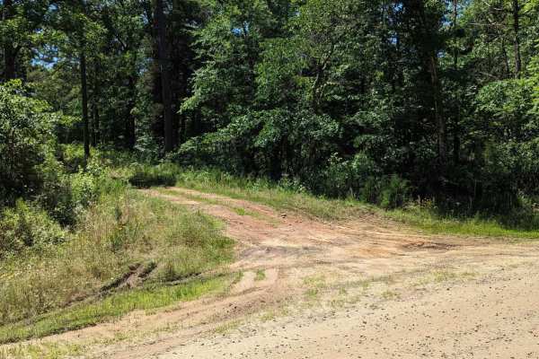
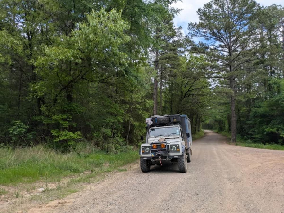
Slo Fork is a well-maintained gravel road characterized by frequent corrugations and bumps, making cautious driving at lower speeds advisable. The route passes through picturesque landscapes dotted with private properties and rural farmsteads, offering scenic views of agricultural land before transitioning onto state-owned land. Due to extensive private property along this trail, dispersed camping opportunities are unavailable, and visitors should note that no amenities such as trash disposal or water supply are provided. Cell service is consistently good throughout the area.

Photos of Slo Fork Road

Difficulty

Maintained trail

Technical Rating

1

Slo Fork Road Trail can be accessed by the following ride types:

  • Single Track
  • 50 Inch
  • 60 Inch
  • High Clearance
  • Full Width

Slo Fork Road Map

The onX Offroad Difference

onX Offroad combines trail photos, descriptions, difficulty ratings, width restrictions, seasonality, and more in a user-friendly interface. Available on all devices, with offline access and full compatibility with CarPlay and Android Auto. Discover what you're missing today!

Open Trail Map