
Dirt Bike Trails
Near Croghan, New York
Explore All Dirt Bike Trails Near Croghan, New York
Dirt Bike Trails Near Croghan, New York
Discover the best dirt bike trails near you. Browse trail maps, check difficulty ratings, and find your next adventure — whether you're looking for a quick ride or an all-day expedition.
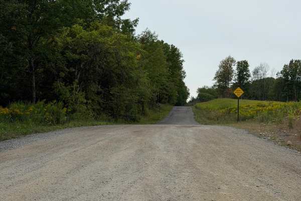
Fykes Road
This route is a well-maintained seasonal road in Lewis County with a mix of gravel and stone terrain. While traveling this route, be aware of posted road signs and use caution when approaching intersections, as both vehicle and ATV traffic may be present. A Lewis County Permit is not required for th...
Learn more about Fykes Road
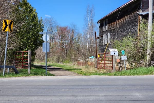
The Monteola Corridor
The northern end of the old Ogdensburg Railroad line takes you to the small town of Glenfield, New York. This scenic route takes you through the countryside alongside the Black River. Stop in for a bite at the Wicked Bad Apple Backwoods Bar & Grill by turning right on Blue Street and going about 300...
Learn more about The Monteola Corridor
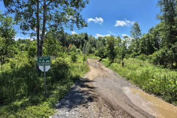
Burdick's Crossing
Burdick’s Crossing serves as a vital connector trail bringing you into the Adirondack region of the Lewis County trail system. This route is designed to keep you off the pavement as much as possible, navigating primarily through private land via permit-only trails. Stay alert, particularly in tighte...
Learn more about Burdick's Crossing
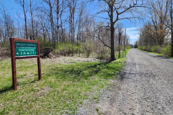
The Old Railbed
This stretch of the old Ogdensburg Railroad line has been converted by Lewis County into one of the main arteries of the Tughill region's snowmobile and ATV traffic. Follow this trail from the Burdick's Crossing Road intersection south to one of the area's premier eateries, Boondocks Restaurant & Ba...
Learn more about The Old Railbed
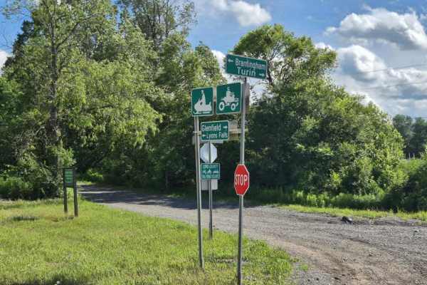
Tughill Region Connector
This varied, multi-surface route connects the Tug Hill region to the southern Adirondacks. The trail features a mix of pavement, gravel, and occasional Lewis County-permitted side trails, offering diverse terrain and a chance to manage tire heat. Please note that this route experiences high traffic ...
Learn more about Tughill Region Connector
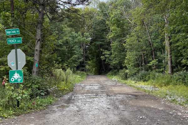
Rodgers Crossing Road
While traveling this seasonal road, you can expect a combination of dirt, gravel, embedded rock, shallow ruts, and numerous mud holes and areas of standing water. Conditions can become considerably wetter and muddier following rain. The route travels through mostly wooded terrain with some open wetl...
Learn more about Rodgers Crossing Road
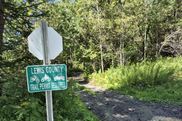
Flat Rock Swamp
Expect to find mudholes, deep ruts, large root systems and off camber waterholes on this trail. Probably the most technical trail on the Lewis County system thus far. A Lewis County permit is required to use this trail. Due to the this trails technical nature its easy to lose track of oncoming traff...
Learn more about Flat Rock Swamp
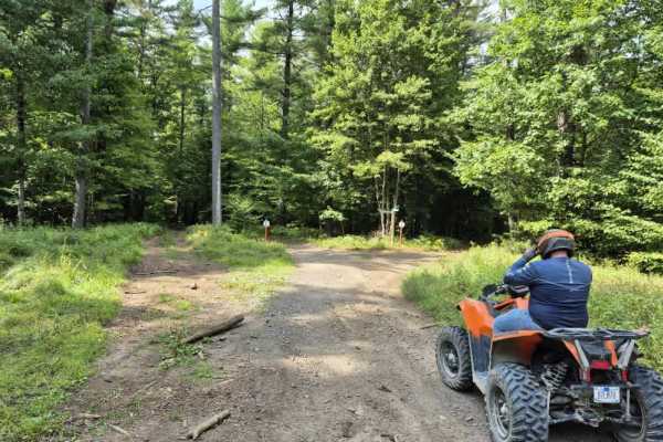
Middle Road
Throughout this trail, you will encounter a mix of sand, gravel, roots, and water holes as you take the outer loop trail around the county forest property. Other side trails exist that cut through the center of this loop. These trails are very well marked. Watch for traffic merging in and out of the...
Learn more about Middle Road
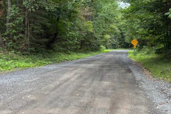
Alger Road
This route is a well-maintained seasonal road in Lewis County and is a mix of gravel and stone terrain. While traveling this route, you will encounter gentle grades and curves along the way, offering plenty of open fields with windmills. A Lewis County Permit is not required to travel this route.
Learn more about Alger Road
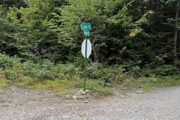
Carey Road
This route follows a maintained gravel road through mostly wooded terrain with a few open areas along the way. Travelers can expect a mix of packed gravel and loose stone terrain, gentle hills, and several curves. There is a narrow bridge located along the route, so use caution and watch for oncomin...
Learn more about Carey Road
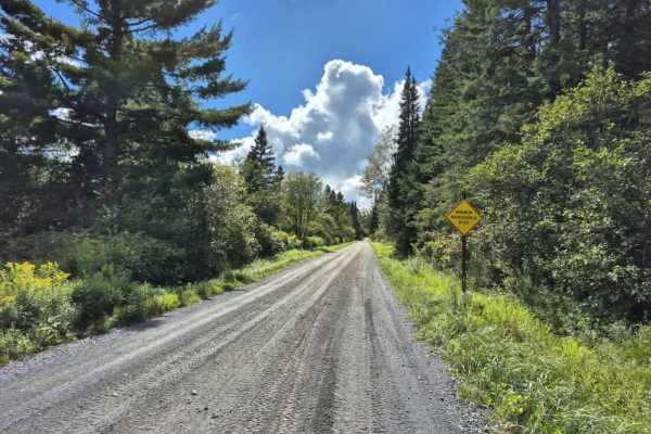
North Road
Expect a very well-maintained seasonal road that is an ATV/SXS highway connecting the southeastern end of the Tughill region's trail system. Expect very dusty conditions if it has not recently rained. A Lewis County permit is not required to ride this seasonal road. Always stay to the right and have...
Learn more about North Road
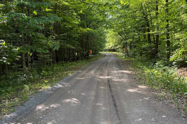
Morgan Gulf Road
This seasonal road winds through a mix of mature hardwood forest and open fields on a hard-packed dirt surface with some scattered loose stones and gravel. The route features long tree-canopied straightaways, rolling hills, and a bridge crossing over a small stream. The road surface is suitable for ...
Learn more about Morgan Gulf Road

Tabolt Road
While traveling this route, you will encounter several intersections and curves along this seasonal road. The road consists of a mix of gravel and loose stone and is generally wide enough for vehicles to pass. Be aware of posted road signs and use caution when approaching intersections, as both veh...
Learn more about Tabolt Road
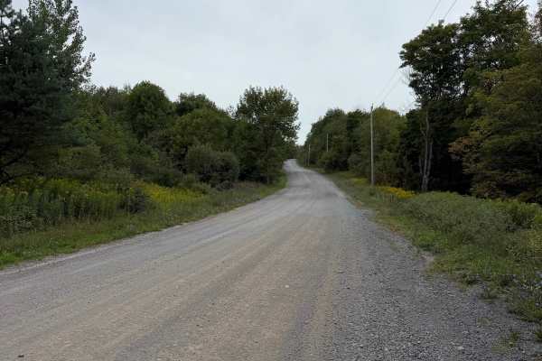
Carpenter Road
This route follows a wide, maintained gravel seasonal road through a mostly wooded section of Lewis County. Riders can expect a firm gravel surface with several gradual hills and curves. This route connects with multiple seasonal roads and is a heavily traveled route. The road is generally smooth a...
Learn more about Carpenter Road

Carpenter Road Play Area
This Lewis County ATV Trail System play area features a maintained main trail with multiple side spur mud and play sections for riders looking for additional challenges. The route travels through a mix of wooded terrain and open hilltop meadows, providing a variety of landscapes and scenic views. Ri...
Learn more about Carpenter Road Play Area
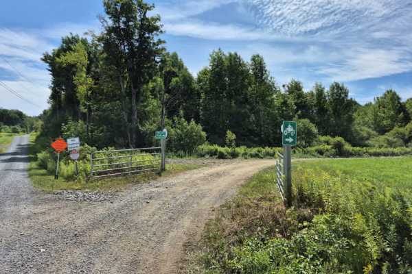
Lee Gulf Extension
Expect a narrow, county-maintained trail best suited for ATVs and small side-by-sides. It features the largest elevation change in the area, requiring four-wheel drive for a safe and responsible climb. Several bridges cross cascading creeks, highlighting local geology and offering spectacular views ...
Learn more about Lee Gulf Extension
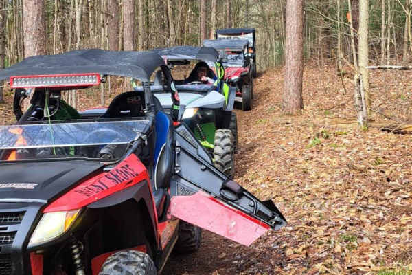
The Commons 2
This is a nice wooded trail--hard-packed with no ruts or challenging sections. This is tighter, so 64-inch-wide vehicles or less is best. It's ATV and UTV-accessible with a Lewis County trail permit. It's open seasonally and there are updates regularly on their Facebook page. Expect two-way traffic ...
Learn more about The Commons 2
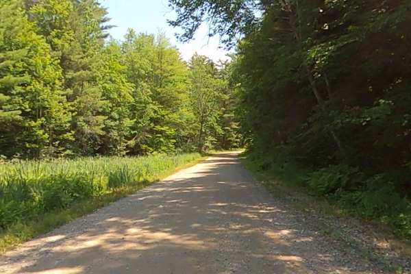
Goose Pond Road
This is a gravel road with access to the Aldrich Pond Wild Forest. There are many hiking and horseback trails accessing many trout ponds with great fishing. There are lean-tos available along several of the trails. Maintenance is by the NY DEC, and extensive information is available on the DEC's web...
Learn more about Goose Pond Road
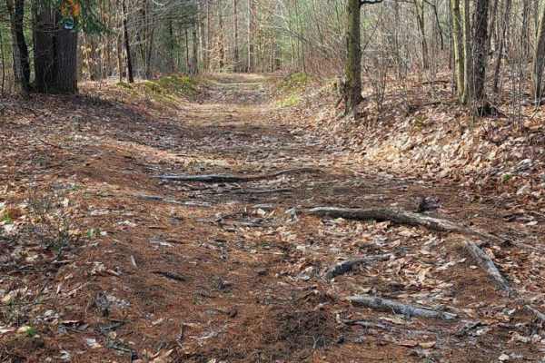
The Commons 3
This is a nice wooded trail--hard-packed with no ruts or challenging sections. This is tighter, so 64-inch-wide vehicles or less is best. It's ATV and UTV-accessible with a Lewis County trail permit. It's open seasonally and there are updates regularly on their Facebook page. Expect two-way traffic ...
Learn more about The Commons 3
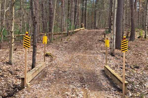
The Commons 1
This is a nice wooded trail--hard-packed with no ruts or challenging sections. This is tighter, so 64-inch-wide vehicles or less is best. It's ATV and UTV-accessible with a Lewis County trail permit. It's open seasonally and there are updates regularly on their Facebook page. Expect two-way traffic ...
Learn more about The Commons 1
ATV trails near Croghan, New York
Explore ATV-friendly trails near you. These trails are accessible for vehicles up to 50 inches wide, perfect for ATVs and smaller off-road machines.
Fykes Road
This route is a well-maintained seasonal road in Lewis County with a mix of gravel and stone terrain. While traveling this route, be aware of posted road signs and use caution when approaching intersections, as both vehicle and ATV traffic may be present. A Lewis County Permit is not required for th...
Learn more about Fykes Road
The Monteola Corridor
The northern end of the old Ogdensburg Railroad line takes you to the small town of Glenfield, New York. This scenic route takes you through the countryside alongside the Black River. Stop in for a bite at the Wicked Bad Apple Backwoods Bar & Grill by turning right on Blue Street and going about 300...
Learn more about The Monteola Corridor
Burdick's Crossing
Burdick’s Crossing serves as a vital connector trail bringing you into the Adirondack region of the Lewis County trail system. This route is designed to keep you off the pavement as much as possible, navigating primarily through private land via permit-only trails. Stay alert, particularly in tighte...
Learn more about Burdick's Crossing
The Old Railbed
This stretch of the old Ogdensburg Railroad line has been converted by Lewis County into one of the main arteries of the Tughill region's snowmobile and ATV traffic. Follow this trail from the Burdick's Crossing Road intersection south to one of the area's premier eateries, Boondocks Restaurant & Ba...
Learn more about The Old Railbed
UTV/side-by-side trails near Croghan, New York
Find UTV and side-by-side trails near you. These trails accommodate vehicles up to 60 inches wide, ideal for UTVs, side-by-sides, and wider off-road rigs.
Fykes Road
This route is a well-maintained seasonal road in Lewis County with a mix of gravel and stone terrain. While traveling this route, be aware of posted road signs and use caution when approaching intersections, as both vehicle and ATV traffic may be present. A Lewis County Permit is not required for th...
Learn more about Fykes Road
The Monteola Corridor
The northern end of the old Ogdensburg Railroad line takes you to the small town of Glenfield, New York. This scenic route takes you through the countryside alongside the Black River. Stop in for a bite at the Wicked Bad Apple Backwoods Bar & Grill by turning right on Blue Street and going about 300...
Learn more about The Monteola Corridor
Burdick's Crossing
Burdick’s Crossing serves as a vital connector trail bringing you into the Adirondack region of the Lewis County trail system. This route is designed to keep you off the pavement as much as possible, navigating primarily through private land via permit-only trails. Stay alert, particularly in tighte...
Learn more about Burdick's Crossing
The Old Railbed
This stretch of the old Ogdensburg Railroad line has been converted by Lewis County into one of the main arteries of the Tughill region's snowmobile and ATV traffic. Follow this trail from the Burdick's Crossing Road intersection south to one of the area's premier eateries, Boondocks Restaurant & Ba...
Learn more about The Old Railbed
The onX Offroad Difference
onX Offroad combines trail photos, descriptions, difficulty ratings, width restrictions, seasonality, and more in a user-friendly interface. Available on all devices, with offline access and full compatibility with CarPlay and Android Auto. Discover what you're missing today!
Open Trail Map