Tabolt Road

Total Miles2
Technical Rating
1Easy
Best TimeSpring, Summer, Fall
Trail TypeFull-Width Road
Accessible By
Open Trail Map

Trail Overview

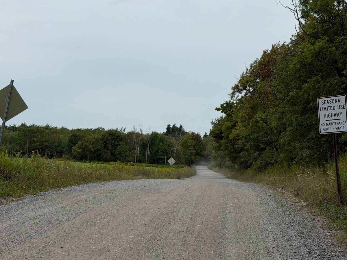
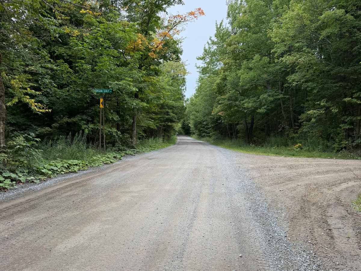
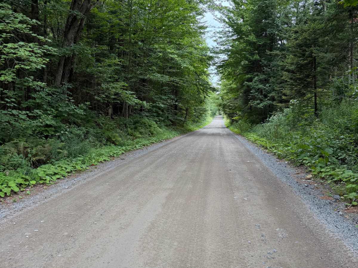
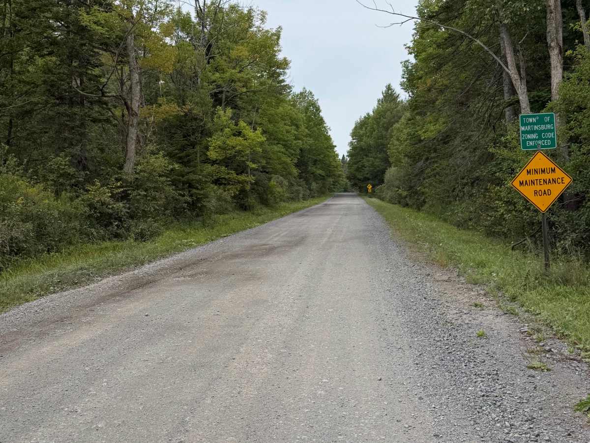
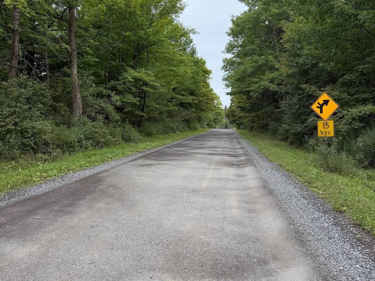
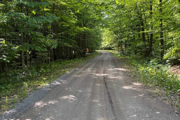
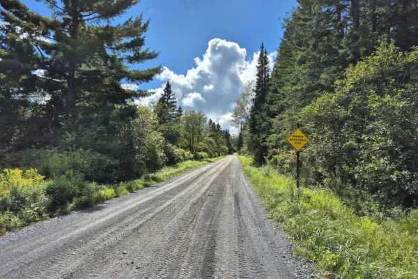
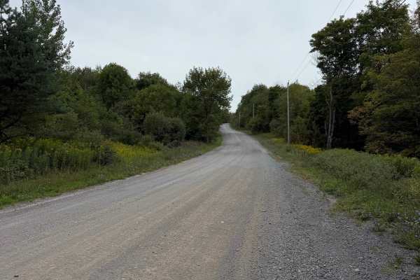
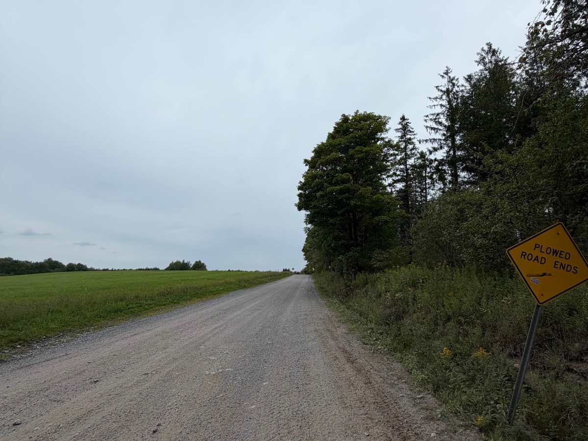
While traveling this route, you will encounter several intersections and curves along this seasonal road. The road consists of a mix of gravel and loose stone and is generally wide enough for vehicles to pass. Be aware of posted road signs and use caution when approaching intersections, as both vehicle and ATV traffic may be present. This is a heavily traveled route, so riders should remain alert for oncoming traffic at all times. A Lewis County Permit is not required to travel this route.

Photos of Tabolt Road

Difficulty

This is a easy route suitable for every skill level.

Technical Rating

1

Tabolt Road Trail can be accessed by the following ride types:

  • Single Track
  • 50 Inch
  • 60 Inch
  • High Clearance
  • Full Width

Tabolt Road Map

The onX Offroad Difference

onX Offroad combines trail photos, descriptions, difficulty ratings, width restrictions, seasonality, and more in a user-friendly interface. Available on all devices, with offline access and full compatibility with CarPlay and Android Auto. Discover what you're missing today!

Open Trail Map