
Dirt Bike Trails
Near Corona, New Mexico
Explore All Dirt Bike Trails Near Corona, New Mexico
Dirt Bike Trails Near Corona, New Mexico
Discover the best dirt bike trails near you. Browse trail maps, check difficulty ratings, and find your next adventure — whether you're looking for a quick ride or an all-day expedition.
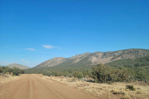
Cougar Mountain Road
A wide dirt track through the Gallinas district of Cibola National Forest. This route skirts the base of the Gallinas peak and is primarily used as a quick through road from the south side to the north side of the area. There are minimal washouts or other obstacles on this road, and it could easily ...
Learn more about Cougar Mountain Road
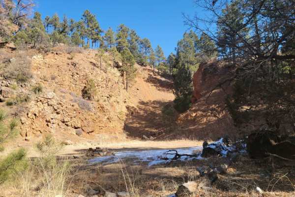
Red Cloud Trail
Red cloud trail works its way across the top of the peaks in Gallinas before descending into a forested area. With many dispersed camping opportunities, this is a great area for some more secluded outdoor activities. Multiple excellent views of the surrounding desert are available, especially while ...
Learn more about Red Cloud Trail
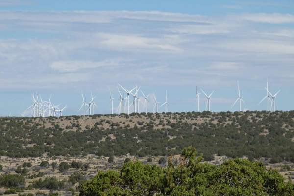
Windmill Way
Windmill Way has a decent variety of terrain along its route. Composed of a combination of soft sand, dirt, and rocks, the trail winds its way to the southwest giving views of the surrounding mountains and a plateau to the north full of wind turbines. There are no obstacles larger than 10 inches alo...
Learn more about Windmill Way
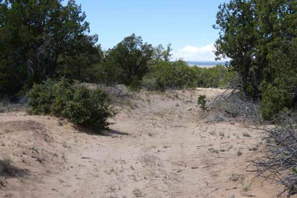
Wandering Wake
Wandering Wake is a trail that shows minimal signs of use and is very primitive with no signs of maintenance being performed. The surface changes frequently from dirt to sand with some smaller rocky sections scattered through the length of the trail. While there are no large obstacles along the trai...
Learn more about Wandering Wake
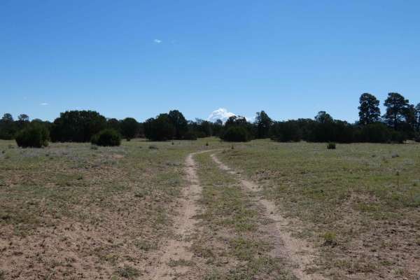
Sandwash
Sandwash is a trail that is exactly as named, beginning as a dirt hard-pack trail that quickly changes to a sandy wash track. As the trail begins to descend, it narrows to single-vehicle-width and changes from dirt to soft sand with one small rock garden hidden in the sand. The trail is easily trave...
Learn more about Sandwash
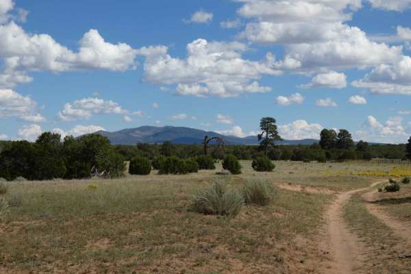
Clarion Course
Clarion Course is one of the more clear-cut trails in the area and shows more signs of use than many of the others. The trail surface is a combination of dirt, sand, and rocks but does not have any obstacles larger than 10 inches. There are sections with minor rutting and some off-camber turns, howe...
Learn more about Clarion Course
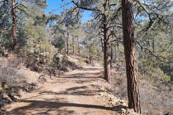
Glorieta Peak
This trail ascends a mountain surrounded by the desert to the South-East of Mountainair. When approaching the peak, it will be visible long before you start the trail when approaching from the west. The first part of the trail is driving on light gravel roads before you enter the National Forest. Th...
Learn more about Glorieta Peak
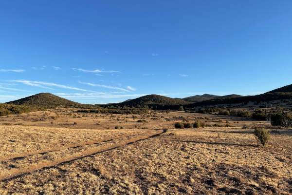
The Ascent
The Ascent is a moderately challenging 2.8-mile trail in the Jicarilla Mountains of Lincoln National Forest, perfect for four-wheel-drive vehicles and SxSs looking for a scenic climb with technical obstacles. Starting around 6,766 feet in elevation, the route begins as an easy-going, unpaved two-tra...
Learn more about The Ascent
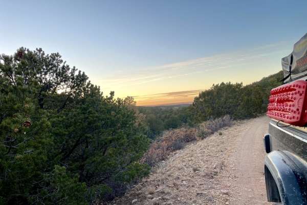
Elk Standoff
Elk Standoff is a scenic 29-mile dirt route near Monument Peak, New Mexico, ideal for overlanders seeking high-desert vistas and a glimpse into local history. Winding through the rolling mountain landscape with a technical rating of 2, this well-maintained trail is accessible to most stock high-clea...
Learn more about Elk Standoff
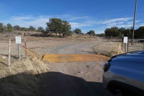
West-End Slope
West-End Slope is deceiving and escalates quickly to a very tight dead-end. The trail starts out on a dirt surface that is easily passable by most 4x4s, with some rutted areas that are very muddy and slippery after rain or snow melt. There are multiple open areas at the start of the trail that have ...
Learn more about West-End Slope
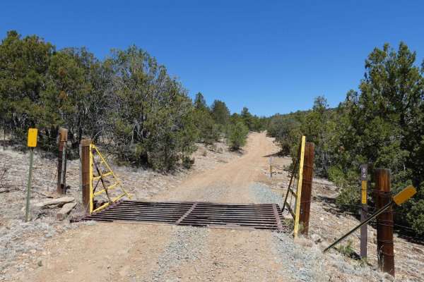
Indian Divide
Indian Divide is located northwest of Capitan, NM, and is nestled between the larger mountains in this area. The trail gives a great combination of surface types from dirt to larger rocky obstacles, light rutting, and some minor off-camber sections, as well as some steeper grades and some low-lying ...
Learn more about Indian Divide
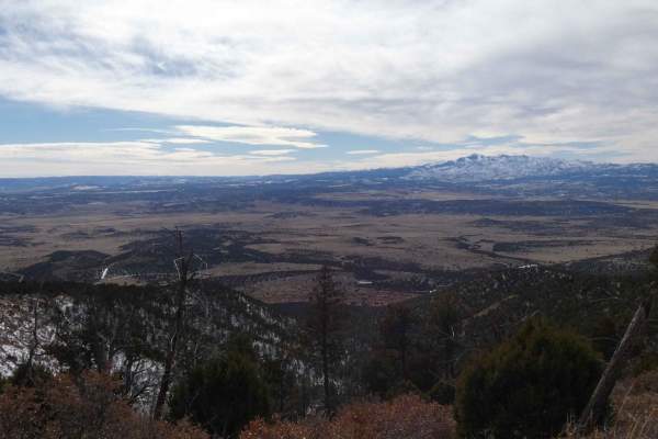
Capitan Gap
Capitan Gap is a locally well-known and well-traversed out-and-back trail with wide open views, steep grades, and many dispersed camp sites. While the burn scar is still very visible, the trail features an abundance of foliage and wildlife. The trail starts out at the base of the foothills with sign...
Learn more about Capitan Gap
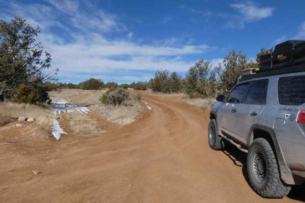
West Mountain
West Mountain is located just to the west of the Capitan Mountains and north of the town of Capitan, NM, and is a narrow, mostly single-vehicle wide, out-and-back trail with several spurs available to explore. The trail appears to have had some recent maintenance completed towards the entrance, howe...
Learn more about West Mountain
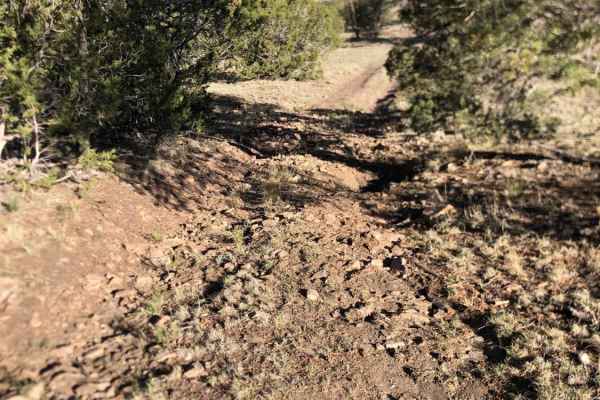
Granger
Dispersed camping with a beautiful view of the Sacramento Mountains. There are three trails that disperse out. Easy terrain for beginners riders. The trail is mainly dirt and loose rock, with a few rutted-out places. It can be very windy and dry in these mountains, be aware of a potential fire ban.
Learn more about Granger
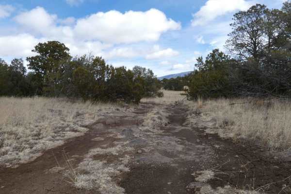
Campesino
Campesino is overall an easy-to-traverse dirt road, that has some rock gardens along the route. There are signs of some rutting and washouts and can become very muddy and slick during or after rain or snow melt. Some areas of the trail show signs of heavy rutting with no maintenance, but do offer by...
Learn more about Campesino
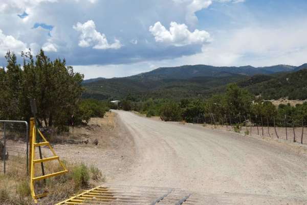
Nogal Canyon FSR-400
Nogal Canyon is a very easy trail to traverse, accessible by most vehicles, and is well maintained. If the road is accessed from its entry off Highway 37, the first 4.7 miles is primarily private land on either side. Drivers should check speeds through this area and no dispersed camping is permitted...
Learn more about Nogal Canyon FSR-400
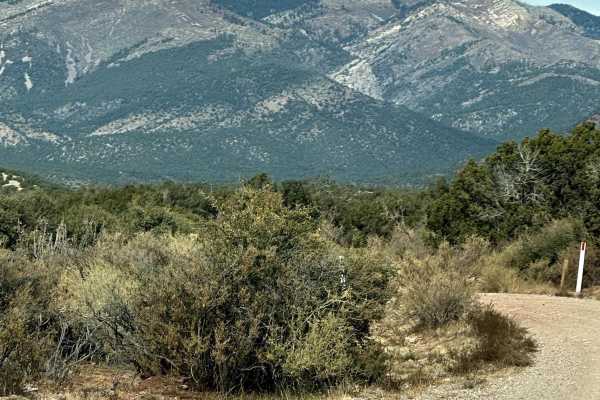
FS 422 Priest Canyon
This route travels through the southern tip of the Manzano Mountains and connects the village of Manzano on State Highway 131 with State Highway 60. It travels along a right-of-way through private property on both ends before entering the Cibola Forest. The trail can be dusty and has a few low water...
Learn more about FS 422 Priest Canyon
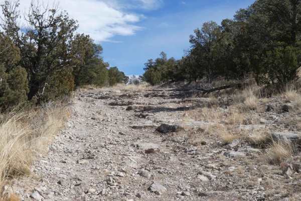
Baca Traverse
Baca Traverse sits in the foothills of the Capitan Mountains and starts out with some minor off-camber rutted areas that are a combination of rocks and dirt. The initial ascent opens up to a more rocky surface and provides a rock garden with some steps and the option of several different lines to ch...
Learn more about Baca Traverse
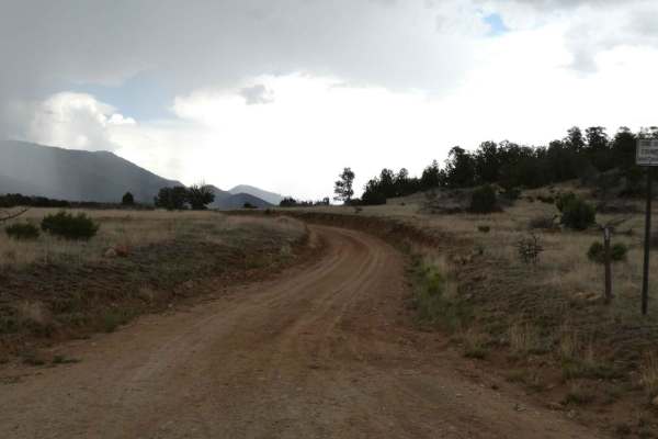
Salazar Canyon East
Salazar Canyon East begins just east of Baca campground inside a private land boundary before returning to USFS. The surface is a combination of rock and dirt with some small rock gardens, low-lying areas that have the potential to be shallow water crossings, and some spots being primarily rocks. Th...
Learn more about Salazar Canyon East
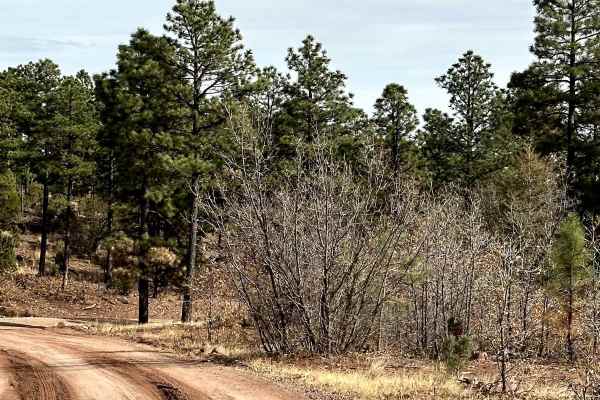
Red Canyon Campground
This is an easy route to the beautiful, well-shaded, and peaceful Red Canyon Campground. The campground is at 7,600 feet in elevation. It can accommodate RVs up to 22 feet. It is easy access to the Manzano Wilderness on the Red and Spruce Canyon trails on foot or horseback. The campground has corr...
Learn more about Red Canyon Campground
ATV trails near Corona, New Mexico
Explore ATV-friendly trails near you. These trails are accessible for vehicles up to 50 inches wide, perfect for ATVs and smaller off-road machines.
Cougar Mountain Road
A wide dirt track through the Gallinas district of Cibola National Forest. This route skirts the base of the Gallinas peak and is primarily used as a quick through road from the south side to the north side of the area. There are minimal washouts or other obstacles on this road, and it could easily ...
Learn more about Cougar Mountain Road
Red Cloud Trail
Red cloud trail works its way across the top of the peaks in Gallinas before descending into a forested area. With many dispersed camping opportunities, this is a great area for some more secluded outdoor activities. Multiple excellent views of the surrounding desert are available, especially while ...
Learn more about Red Cloud Trail
Windmill Way
Windmill Way has a decent variety of terrain along its route. Composed of a combination of soft sand, dirt, and rocks, the trail winds its way to the southwest giving views of the surrounding mountains and a plateau to the north full of wind turbines. There are no obstacles larger than 10 inches alo...
Learn more about Windmill Way
Wandering Wake
Wandering Wake is a trail that shows minimal signs of use and is very primitive with no signs of maintenance being performed. The surface changes frequently from dirt to sand with some smaller rocky sections scattered through the length of the trail. While there are no large obstacles along the trai...
Learn more about Wandering Wake
UTV/side-by-side trails near Corona, New Mexico
Find UTV and side-by-side trails near you. These trails accommodate vehicles up to 60 inches wide, ideal for UTVs, side-by-sides, and wider off-road rigs.
Cougar Mountain Road
A wide dirt track through the Gallinas district of Cibola National Forest. This route skirts the base of the Gallinas peak and is primarily used as a quick through road from the south side to the north side of the area. There are minimal washouts or other obstacles on this road, and it could easily ...
Learn more about Cougar Mountain Road
Red Cloud Trail
Red cloud trail works its way across the top of the peaks in Gallinas before descending into a forested area. With many dispersed camping opportunities, this is a great area for some more secluded outdoor activities. Multiple excellent views of the surrounding desert are available, especially while ...
Learn more about Red Cloud Trail
Windmill Way
Windmill Way has a decent variety of terrain along its route. Composed of a combination of soft sand, dirt, and rocks, the trail winds its way to the southwest giving views of the surrounding mountains and a plateau to the north full of wind turbines. There are no obstacles larger than 10 inches alo...
Learn more about Windmill Way
Wandering Wake
Wandering Wake is a trail that shows minimal signs of use and is very primitive with no signs of maintenance being performed. The surface changes frequently from dirt to sand with some smaller rocky sections scattered through the length of the trail. While there are no large obstacles along the trai...
Learn more about Wandering Wake
The onX Offroad Difference
onX Offroad combines trail photos, descriptions, difficulty ratings, width restrictions, seasonality, and more in a user-friendly interface. Available on all devices, with offline access and full compatibility with CarPlay and Android Auto. Discover what you're missing today!
Open Trail Map