Trail Overview
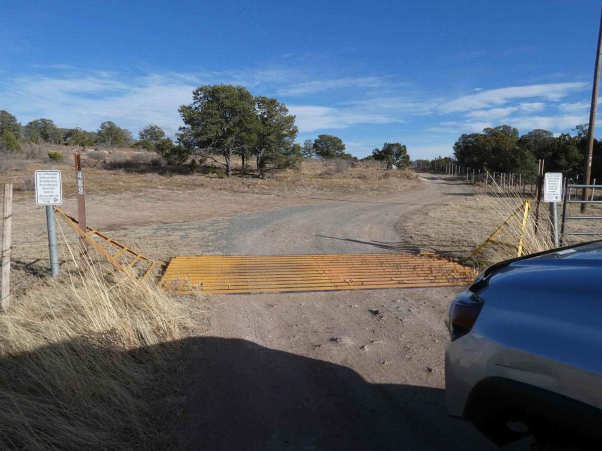
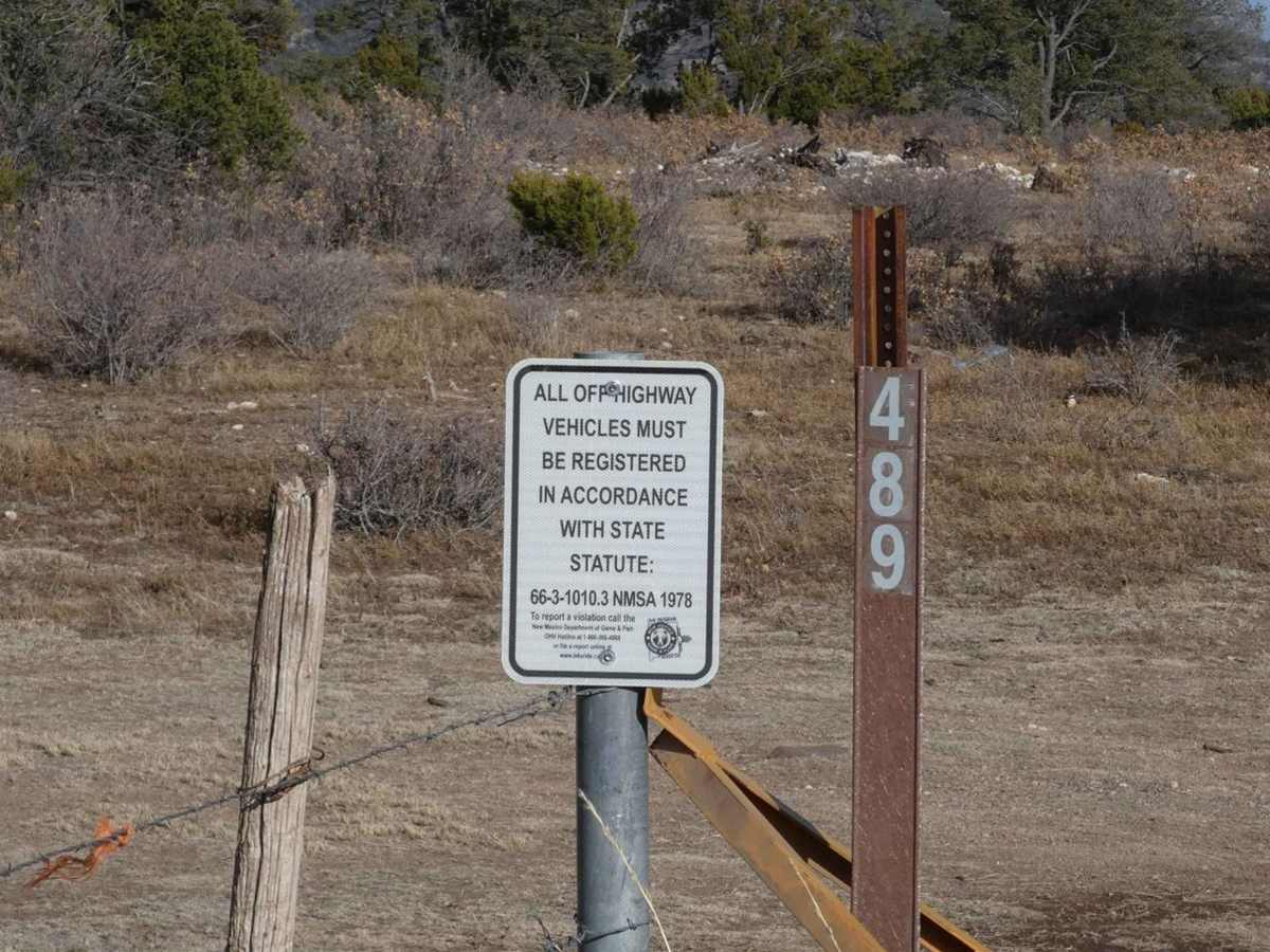
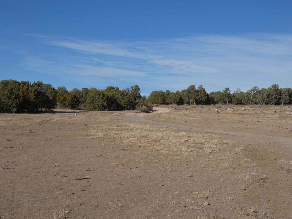
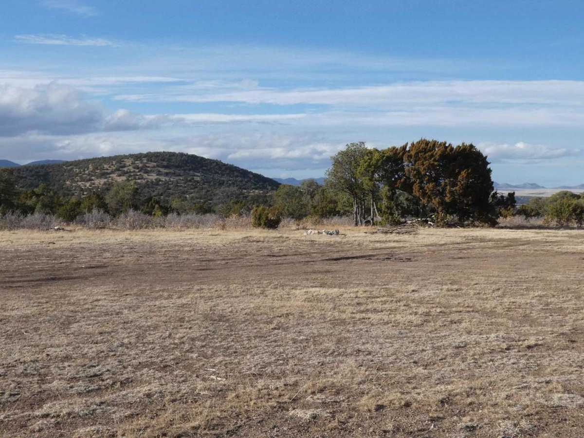
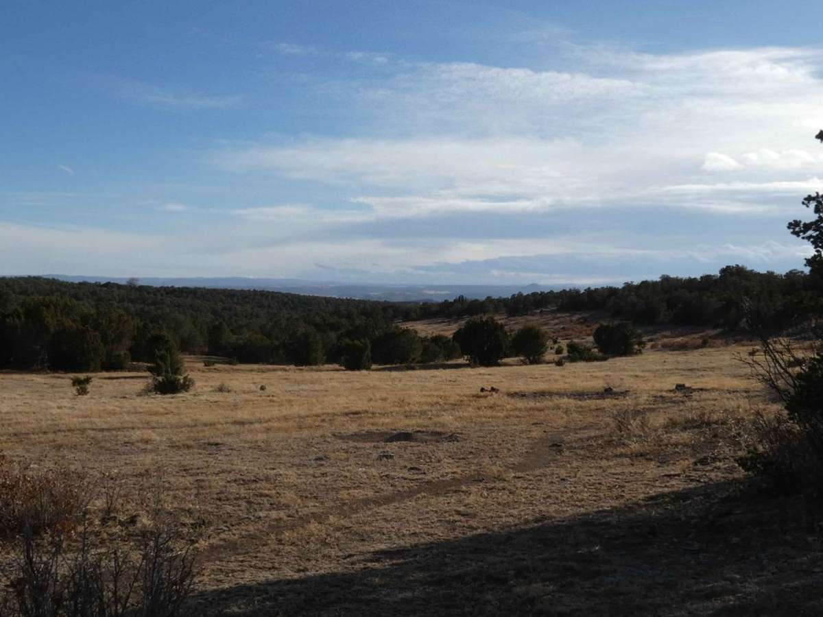
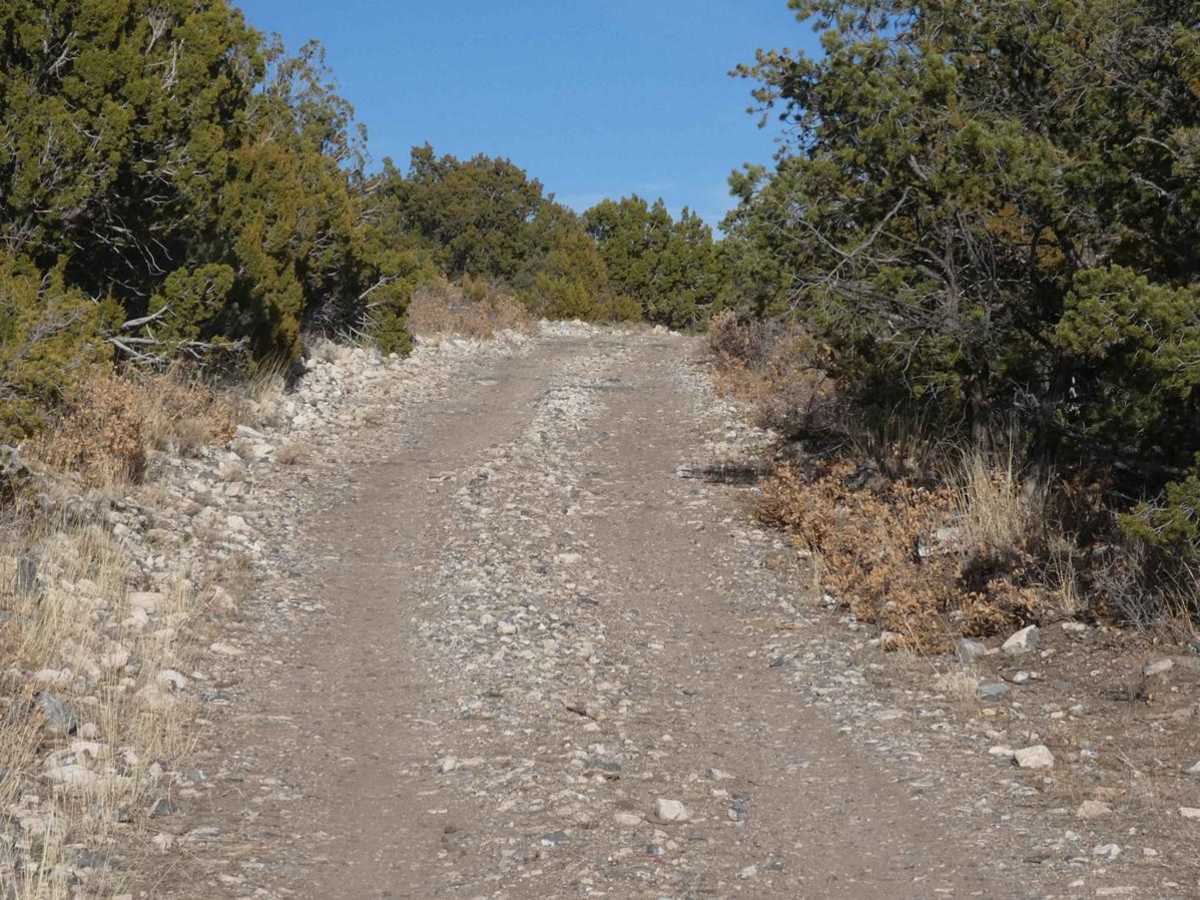
West-End Slope is deceiving and escalates quickly to a very tight dead-end. The trail starts out on a dirt surface that is easily passable by most 4x4s, with some rutted areas that are very muddy and slippery after rain or snow melt. There are multiple open areas at the start of the trail that have designated dispersed campsites, and multiple spurs to hike or drive and explore. The trail starts out wide enough for vehicles to pass, however, it changes to a single wide track quickly. The surface changes gradually from dirt to a rock and dirt combination and escalates to large rocks between 18" and 20". Once in the tighter portion of the trail, the potential for vehicle damage increases greatly and no places to pass or turn around until the end of the trail. Many of the rocks are loose and shift while driving over them increasing the possibility of tire/wheel damage. Brush and tree overgrowth makes the trail extremely narrow and will damage the paint and anything mounted to the top or exterior sides of the vehicle. While the first mile is very tame, the last portion of the trail should only be attempted by a modified vehicle with armor underneath, rock sliders, and a lack of concern for paint/exterior damage. There is no cell service after the first mile. The trail ends at a large downed tree that has been present for a substantial amount of time. There is one campsite at the end of the trail tucked back into the trees with just enough room for a small tent or RTT, but vehicle camping seems more ideal due to the rocky surface and low-level trees.
Difficulty
On this trail there is off-camber rutting, soft slippery mud, large rocks, loose rock tracks, and overgrowth of brush and trees.