Trail Overview
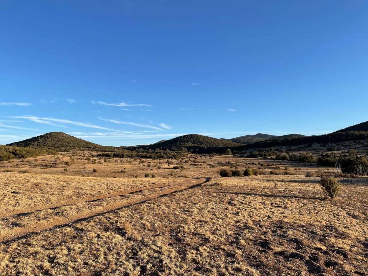
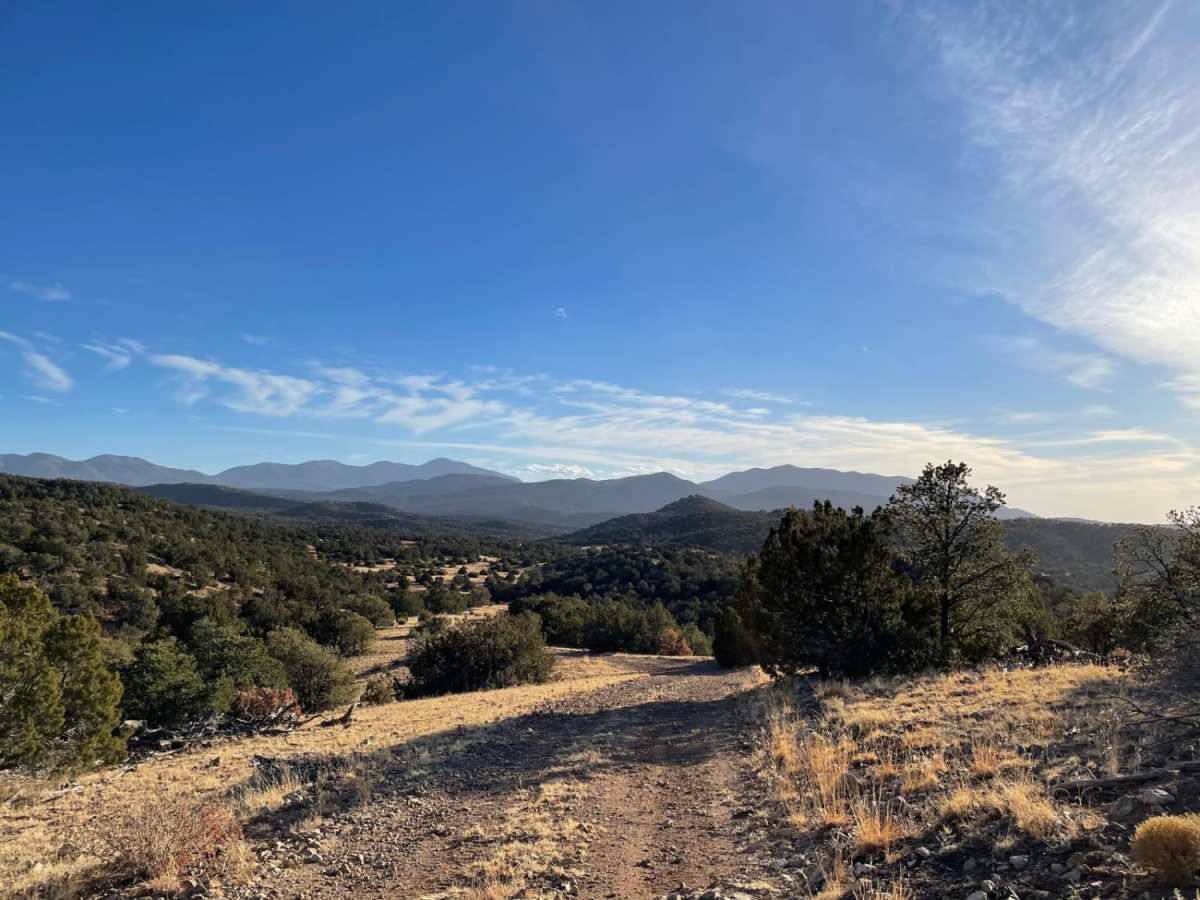
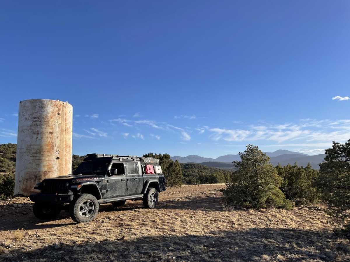
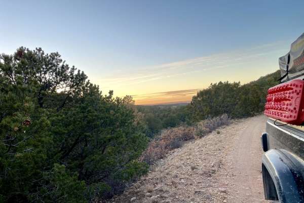
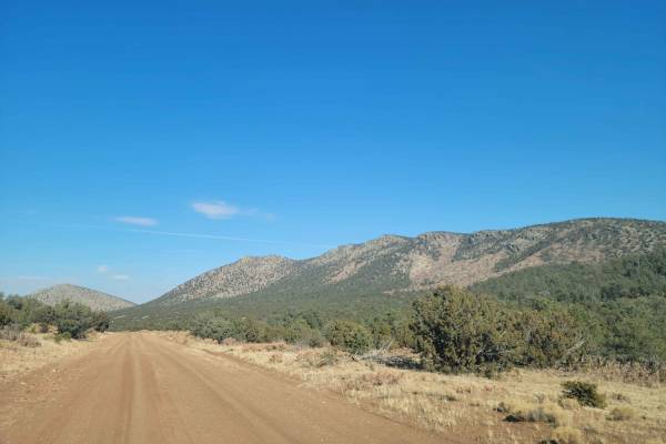
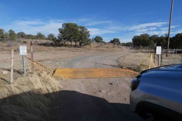
The Ascent is a moderately challenging 2.8-mile trail in the Jicarilla Mountains of Lincoln National Forest, perfect for four-wheel-drive vehicles and SxSs looking for a scenic climb with technical obstacles. Starting around 6,766 feet in elevation, the route begins as an easy-going, unpaved two-track before gradually narrowing as it climbs 428 feet toward a high mesa. Along the way, drivers will navigate through stands of piñon pine and dense shrubbery, enjoying views of the rolling hills below. As the trail advances, the terrain becomes more demanding with larger loose rocks, deep ruts, and ledges preceded by significant mud holes that require careful tire placement.
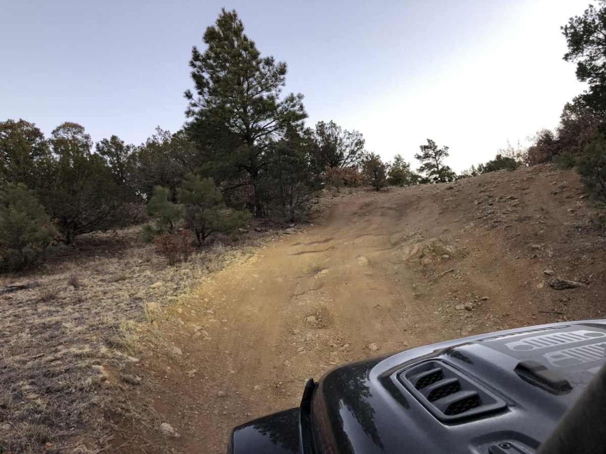
Halfway through the route, drivers encounter the trail's primary obstacle: a steep, rutted hill climb littered with rocks that has no bypass and offers very little room to turn around or back out. This technical section earns the trail its technical rating of 4, making high-clearance four-wheel-drive vehicles or capable SxSs a necessity. This unpaved dirt trail maxes out at an elevation of 7,188 feet, offering a rewarding mountain experience with a mix of mud, rock, and mesa terrain. Because of the clay-heavy soils and high-elevation mud holes, this trail is best avoided during heavy rains or when winter snows make the steep, rocky slopes impassable.