
Dirt Bike Trails
Near Coolidge, Arizona
Explore All Dirt Bike Trails Near Coolidge, Arizona
Dirt Bike Trails Near Coolidge, Arizona
Discover the best dirt bike trails near you. Browse trail maps, check difficulty ratings, and find your next adventure — whether you're looking for a quick ride or an all-day expedition.
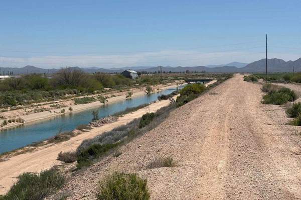
Eloy Canal Trail
The Eloy Canal Trail travels along the edge of the Arizona state water system on dirt roads parallel to the water. There are trails on either side of the water, with many bridges across. Additionally, there are artificial ridges along the edges of the canal which are fun to ride atop, providing wide...
Learn more about Eloy Canal Trail
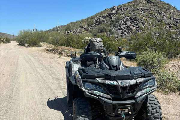
North Picacho Mountains Loop
This segment of trails is a fun and easy loop to introduce exploring the North Picacho Mountains. Traverse sandy, gravel, and slightly rocky trails through backcountry cactus forests with clear views of Newman Peak. Some good, flat dispersed camping spots with fire pits are present. This area is not...
Learn more about North Picacho Mountains Loop
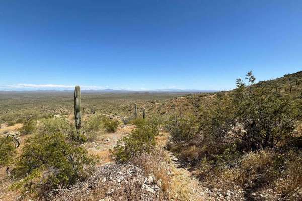
North Picacho Mountain Pass
This segment of trails is a fun and easy loop to introduce exploring the North Picacho Mountains. Traverse sandy, gravel, and slightly rocky trails through backcountry cactus forests with clear views of Newman Peak. Some good, flat dispersed camping spots with fire pits are present. This area is not...
Learn more about North Picacho Mountain Pass
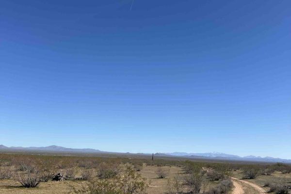
6767G2
This is a fun little offshoot trail that leads down to a water tank and then to a wash. The trail is narrow, so full-size vehicles will get some deep scratches. There are no obstacles on this trail. There are areas where it is slightly washed out, but nothing a high clearance vehicle can't manage. A...
Learn more about 6767G2
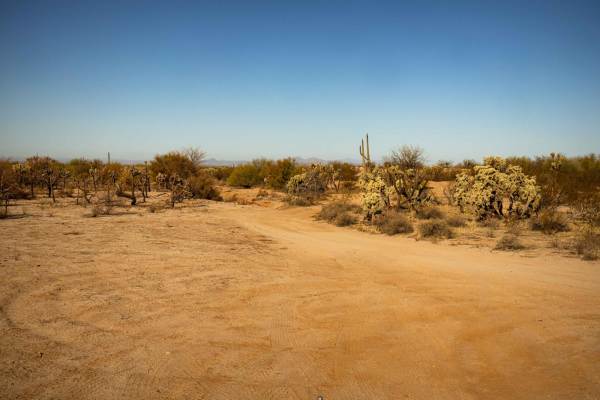
Access Junction
Access Junction is a narrow, sandy trail that offers a fun, curvy ride with plenty of twists to keep things interesting. While tight in some sections, the route remains obstacle-free, making it an enjoyable drive for most vehicles. Mild erosion adds some texture to the trail but doesn't pose major c...
Learn more about Access Junction
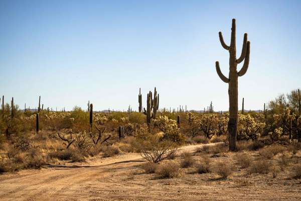
Middle Mountain North
Middle Mountain North is a wide, easygoing trail with a smooth, flowy feel, making it a great option for a relaxed off-road drive. While there are no major obstacles, expect some ruts and mild erosion along the way. A small, short hill with erosion adds a slight challenge but remains manageable for ...
Learn more about Middle Mountain North
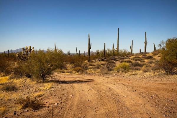
Monastery Fenceline
The Monastery Fenceline Trail follows a narrow path alongside a fenceline, offering a unique and scenic route. Expect multiple wash crossings that can change conditions after weather events. The trail consists of packed dirt with sections of erosion and tight turns that require careful maneuvering. ...
Learn more about Monastery Fenceline

Sw3202
The trail is narrow with few areas to pass. There is a lot of cholla, saguaro, and ocotillo in this area. Spring and fall are great times to do this trail as the desert is blooming and the temperatures are a lot cooler. There are a lot of views in this area of the surrounding buttes. You will get so...
Learn more about Sw3202
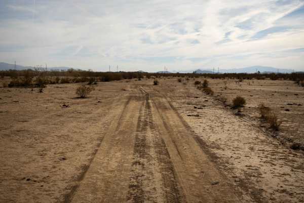
Grumble Wells Road
Grumble Wells Road follows a fenceline through the desert, offering a narrow path at points that requires some maneuvering. While there are no major obstacles, erosion and wash crossings add a bit of challenge to the route. The trail is lined with creosote, cactus, and saguaro, enhancing the desert ...
Learn more about Grumble Wells Road
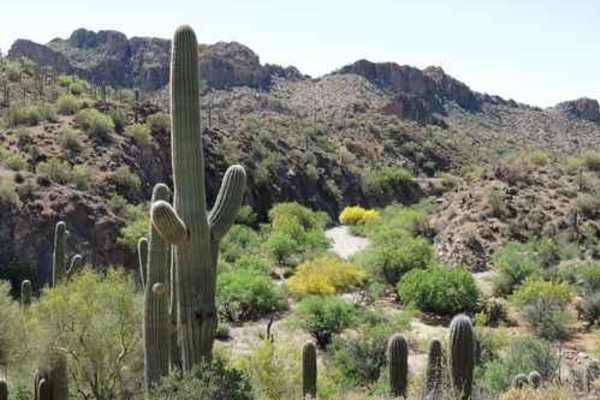
WhoopDeDo Roller Coaster
WhoopDeDo Roller Coaster is an exhilarating 21-mile desert trek designed for experienced four-wheel-drive drivers seeking scenic ridgelines, steep climbs, and a roller-coaster-style ride through Arizona’s rugged Mineral Mountains. Branching off State Route 79 near Florence, this route serves as a le...
Learn more about WhoopDeDo Roller Coaster
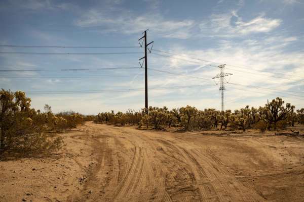
New Power Road
New Power Road is a powerline-cutthrough trail that offers a smooth drive with no obstacles to navigate. Expect dips and sections of erosion that add a bit of variety to the terrain. The road serves as a connector to other trails, making it a convenient route for exploration. At the time of this map...
Learn more about New Power Road
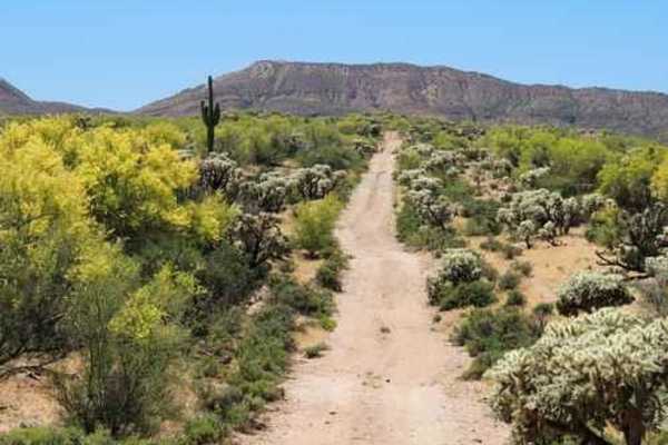
Old 96 Ranch
This biggest portion of this Jeep trail is an easy and relaxing trip on a well-maintained gravel road from Highway 79 south of Florence to Highway 77 at Dudleyville. This is where you can explore the fairly extensive "Old "96" Ranch. The trail is suitable for most vehicles. The main house is an adob...
Learn more about Old 96 Ranch
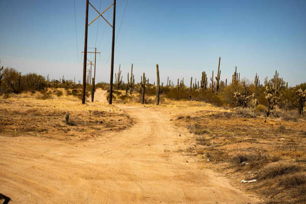
Power 11
This wide and easily navigable powerline trail offers a smooth ride through the Arizona desert. With gentle, rolling terrain and no major obstacles, it's an ideal route for a relaxed off-road experience. The open path provides great visibility, making it a good choice for all skill levels. While cel...
Learn more about Power 11
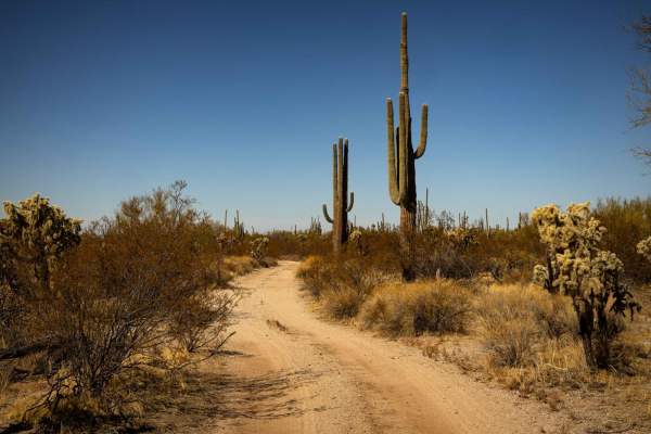
Sabado Diez
The Sabado Diez Trail serves as a central route through the area, providing access to numerous offshoots and campsites along the way. Its curvy path keeps the drive engaging, while frequent wash crossings and erosion add some variety to the terrain. Despite these features, the trail remains wide eno...
Learn more about Sabado Diez
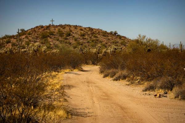
Holy Hill
The Holy Hill Trail is a winding, flowy route that keeps drivers engaged with tight turns and narrow sections. Erosion has led to some off-camber stretches, requiring careful navigation in certain areas. The trail weaves through a classic desert landscape, with plenty of cacti lining the path. Despi...
Learn more about Holy Hill
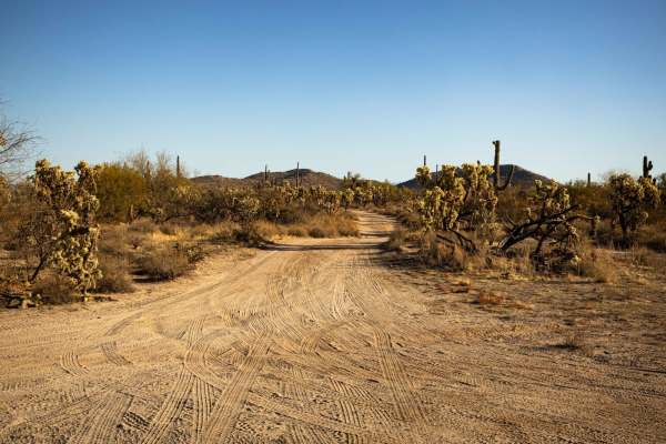
Double Tank to Middle Mountain South
This narrow trail offers a technical ride with tight turns and sections of erosion that create off-camber challenges. Dense desert vegetation increases the risk of paint damage, so expect some brush contact along the way. The winding path requires precise navigation, making it a great choice for tho...
Learn more about Double Tank to Middle Mountain South
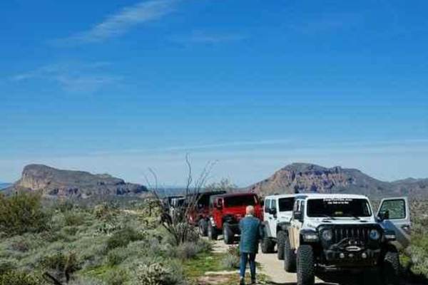
South of Gila River
This is an easy, relaxed Jeep trail through lush Sonoran Desert vegetation while enjoying great scenery. There is even a chance to play in the Gila River, depending on the water flow. Access to this area is the Florence-Kelvin Highway, but the Gila River can sometimes be forded to access this area f...
Learn more about South of Gila River
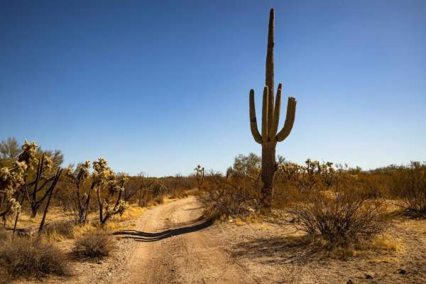
Owls Wash
The Owls Wash Trail offers a dynamic ride with constant shifts in terrain as it weaves in and out of washes. Narrow sections require precise driving, and vegetation along the route may lead to potential paint damage. Rolling hills and mild erosion add variety to the trail, keeping the experience eng...
Learn more about Owls Wash
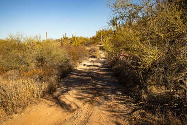
Junction to Middle Mountain
This narrow connector trail weaves through dense desert vegetation, including cactus and palo verde, making paint damage a possibility. The terrain is rugged, with ruts, erosion, and off-camber sections that require careful navigation. Ditches along the route add to the challenge, making this a more...
Learn more about Junction to Middle Mountain
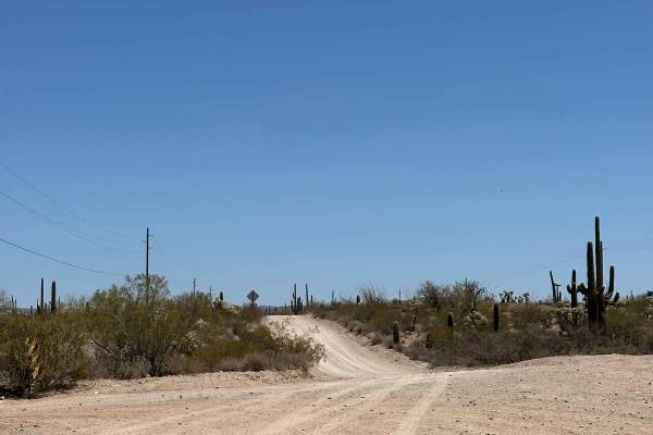
Whitlow Ranch Road
Whitlow Ranch is an easy trail with great views of the mountains and the surrounding desert. There are a lot of wild animals in this area, giving you the chance to see deer, coyotes, javelina, tarantulas, and Gila monsters. Some of the trail is only wide enough for one vehicle, but there are areas t...
Learn more about Whitlow Ranch Road
ATV trails near Coolidge, Arizona
Explore ATV-friendly trails near you. These trails are accessible for vehicles up to 50 inches wide, perfect for ATVs and smaller off-road machines.
Eloy Canal Trail
The Eloy Canal Trail travels along the edge of the Arizona state water system on dirt roads parallel to the water. There are trails on either side of the water, with many bridges across. Additionally, there are artificial ridges along the edges of the canal which are fun to ride atop, providing wide...
Learn more about Eloy Canal Trail
North Picacho Mountains Loop
This segment of trails is a fun and easy loop to introduce exploring the North Picacho Mountains. Traverse sandy, gravel, and slightly rocky trails through backcountry cactus forests with clear views of Newman Peak. Some good, flat dispersed camping spots with fire pits are present. This area is not...
Learn more about North Picacho Mountains Loop
North Picacho Mountain Pass
This segment of trails is a fun and easy loop to introduce exploring the North Picacho Mountains. Traverse sandy, gravel, and slightly rocky trails through backcountry cactus forests with clear views of Newman Peak. Some good, flat dispersed camping spots with fire pits are present. This area is not...
Learn more about North Picacho Mountain Pass
6767G2
This is a fun little offshoot trail that leads down to a water tank and then to a wash. The trail is narrow, so full-size vehicles will get some deep scratches. There are no obstacles on this trail. There are areas where it is slightly washed out, but nothing a high clearance vehicle can't manage. A...
Learn more about 6767G2
UTV/side-by-side trails near Coolidge, Arizona
Find UTV and side-by-side trails near you. These trails accommodate vehicles up to 60 inches wide, ideal for UTVs, side-by-sides, and wider off-road rigs.
Eloy Canal Trail
The Eloy Canal Trail travels along the edge of the Arizona state water system on dirt roads parallel to the water. There are trails on either side of the water, with many bridges across. Additionally, there are artificial ridges along the edges of the canal which are fun to ride atop, providing wide...
Learn more about Eloy Canal Trail
North Picacho Mountains Loop
This segment of trails is a fun and easy loop to introduce exploring the North Picacho Mountains. Traverse sandy, gravel, and slightly rocky trails through backcountry cactus forests with clear views of Newman Peak. Some good, flat dispersed camping spots with fire pits are present. This area is not...
Learn more about North Picacho Mountains Loop
North Picacho Mountain Pass
This segment of trails is a fun and easy loop to introduce exploring the North Picacho Mountains. Traverse sandy, gravel, and slightly rocky trails through backcountry cactus forests with clear views of Newman Peak. Some good, flat dispersed camping spots with fire pits are present. This area is not...
Learn more about North Picacho Mountain Pass
6767G2
This is a fun little offshoot trail that leads down to a water tank and then to a wash. The trail is narrow, so full-size vehicles will get some deep scratches. There are no obstacles on this trail. There are areas where it is slightly washed out, but nothing a high clearance vehicle can't manage. A...
Learn more about 6767G2
The onX Offroad Difference
onX Offroad combines trail photos, descriptions, difficulty ratings, width restrictions, seasonality, and more in a user-friendly interface. Available on all devices, with offline access and full compatibility with CarPlay and Android Auto. Discover what you're missing today!
Open Trail Map