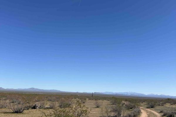
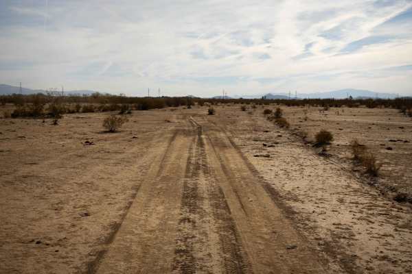
Trail Overview
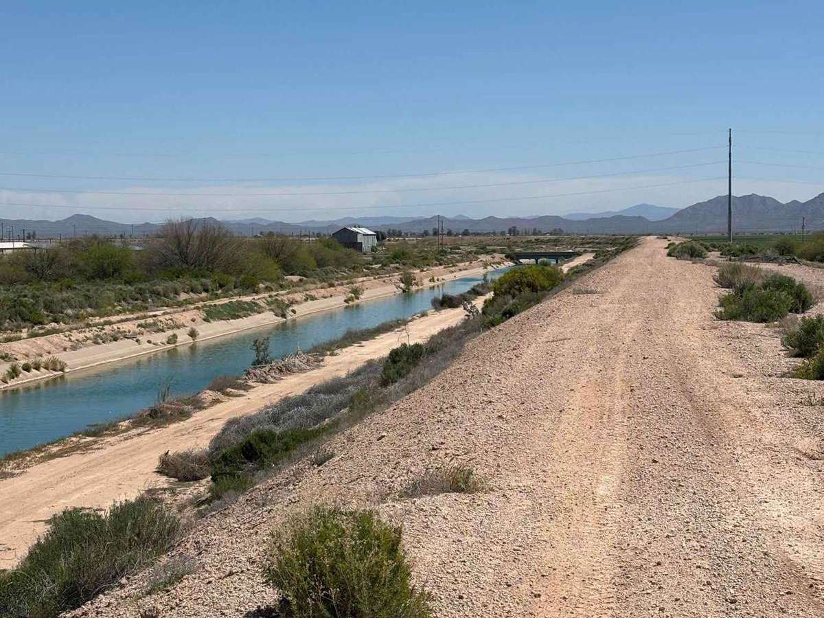
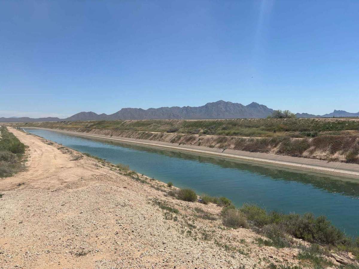
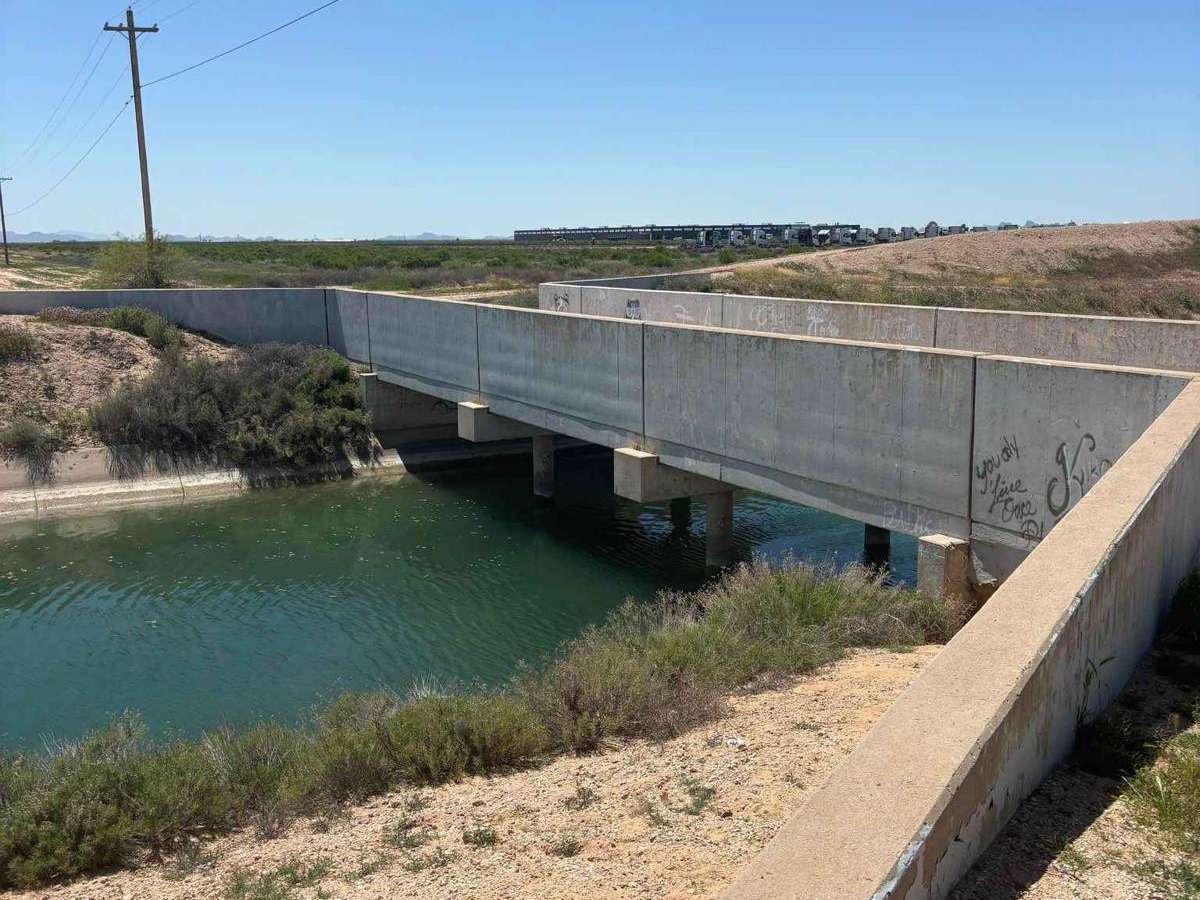
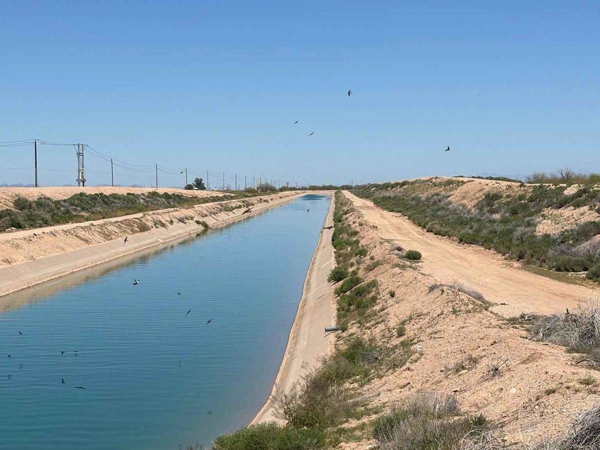
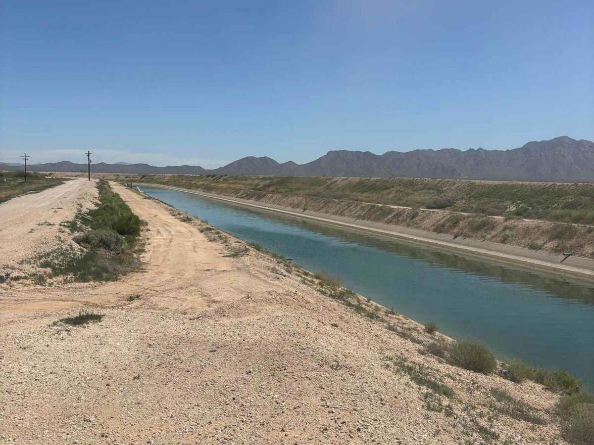
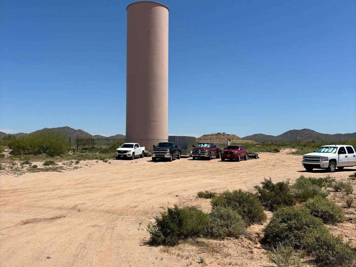
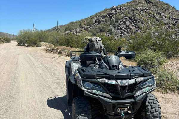
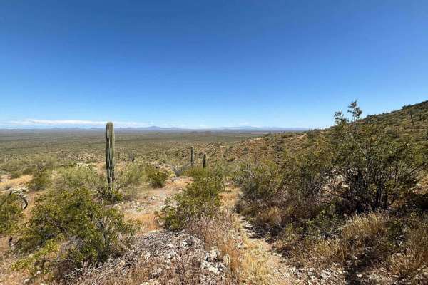
The Eloy Canal Trail travels along the edge of the Arizona state water system on dirt roads parallel to the water. There are trails on either side of the water, with many bridges across. Additionally, there are artificial ridges along the edges of the canal which are fun to ride atop, providing wide views of the surrounding agricultural countryside. The trail condition is good but beware of sinkholes, especially atop the artificial ridges. Don't outdrive what you can see. From the southwest to northeast, the trail crosses a few roads and a railroad and eventually arrives at a dam and a large water tower where others often park trucks with trailers to stage SxS and ATV riding. The canal trail provides access to a bounty of trails to the northeast of the water tower, among the mountains on the northern edge of the Picacho Mountain Range. Excellent views of Newman Peak are present throughout the ride. Please be especially respectful along this trail, as it parallels Arizona's sensitive water resources. Some other sections of this canal network are fully fenced off, but this segment is not and is commonly frequented by locals and fishermen. The trail is on Bureau of Reclamation land, and there are not any No Trespassing signs present, but you may encounter public works trucks. There are not any appropriate bathroom options along this trail;please do not leave human waste anywhere near water resources. There is a fair bit of garbage along the trail;please help remove some if you are able. There are some cattle gates to the east;please make sure you close them behind you.