South of Gila River

Total Miles 23.9
Technical Rating
5 Moderate
Best Time Summer, Fall
Trail Type High-Clearance 4x4 Trail
Accessible By
Open Trail Map

Trail Overview

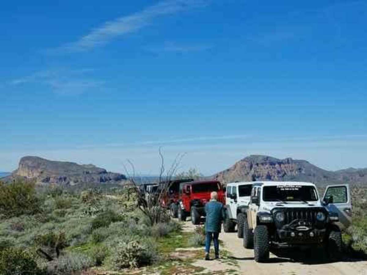
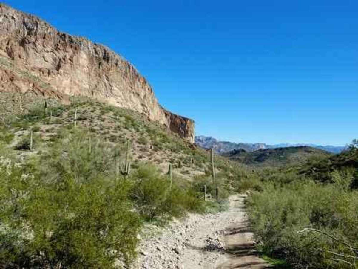
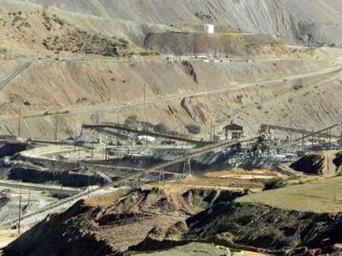
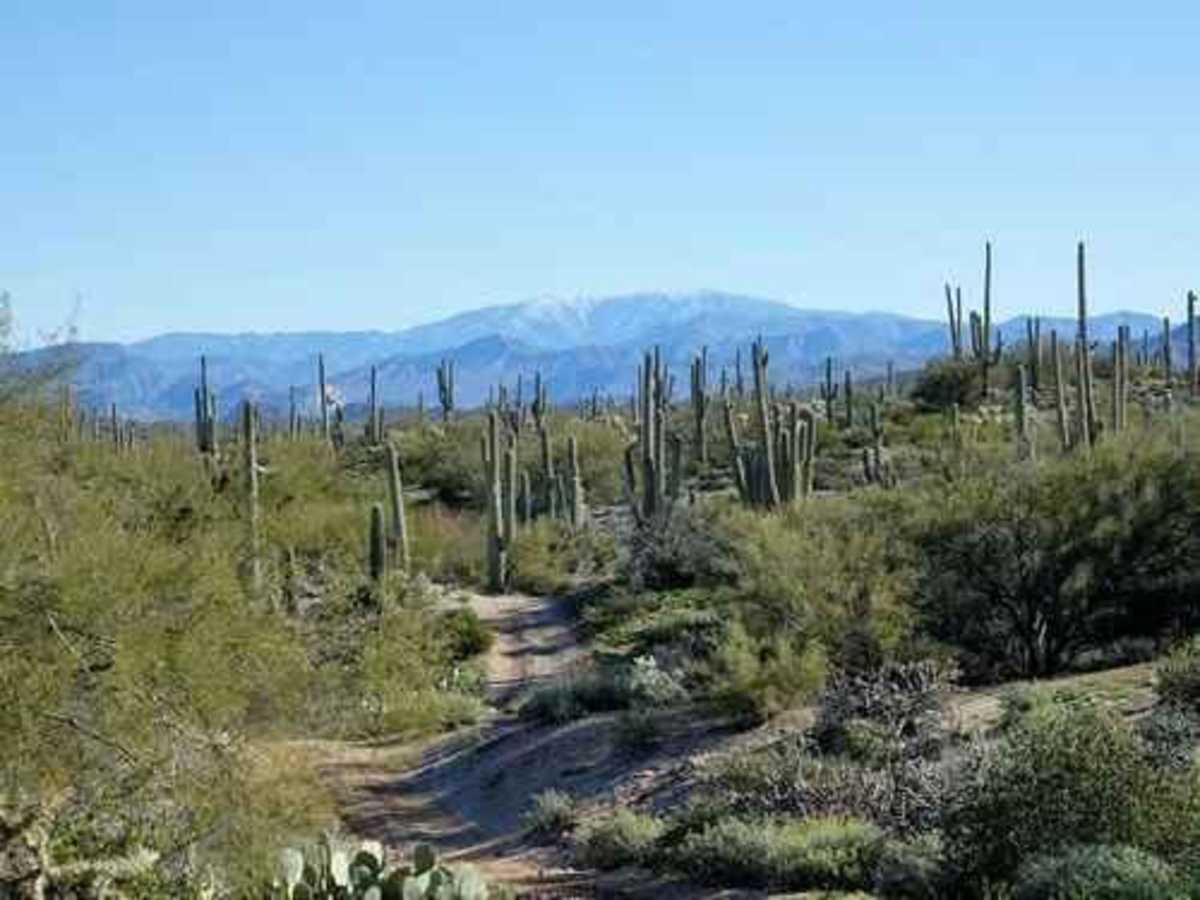
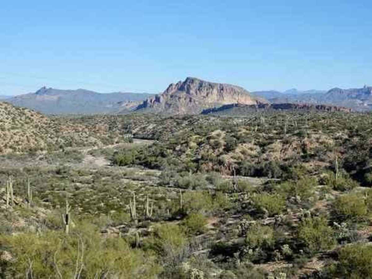
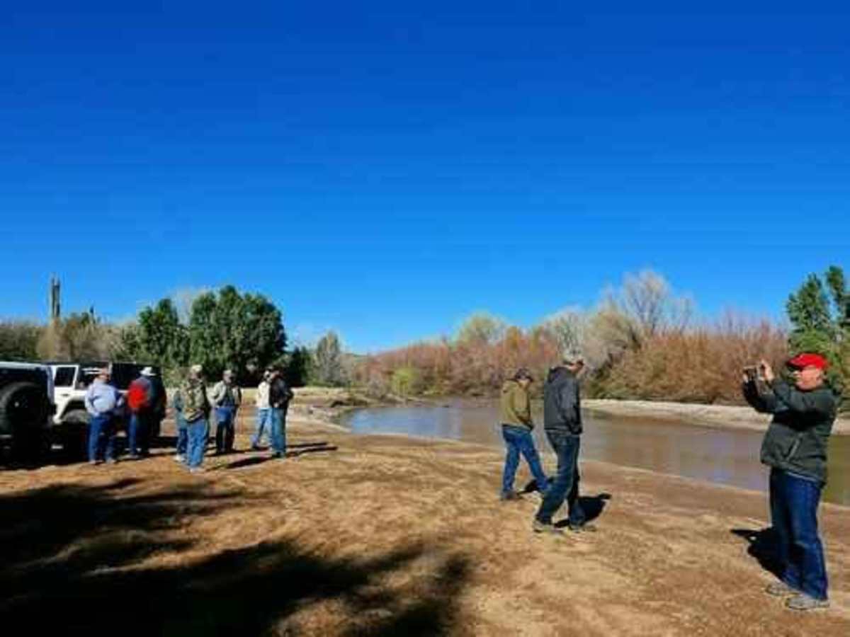
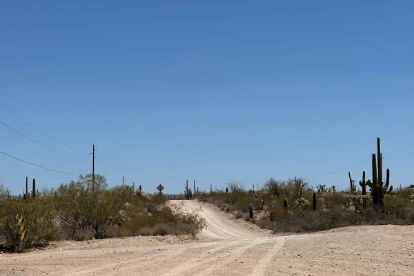
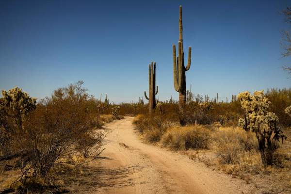
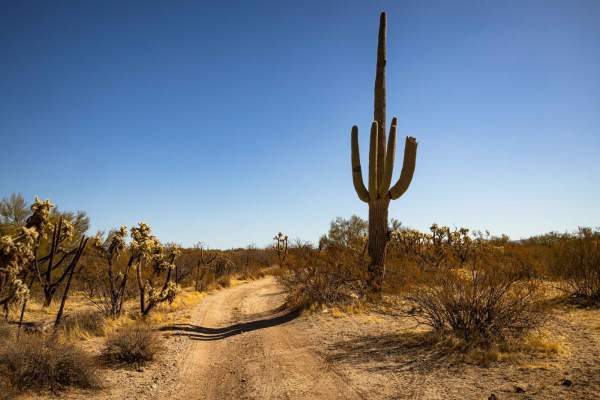
This is an easy, relaxed Jeep trail through lush Sonoran Desert vegetation while enjoying great scenery. There is even a chance to play in the Gila River, depending on the water flow. Access to this area is the Florence-Kelvin Highway, but the Gila River can sometimes be forded to access this area from the north. The water flow should be 350 CFS or less at Coke Ovens Ford--and even less than that at Cochran Ford. The main track shows an interesting trip through the area, but there are many more easy roads and washes to run if you have the time. The trail is described from west to east but can be done either way. It crosses and then parallels Box O Wash down to the Gila River, skirts the edge of South Butte, and then travels a high road with fantastic views of the White Canyon Wilderness and Walnut Canyon areas. Cross Box O Wash then parallel it down to the shore of the Gila River. Leave the Gila, go south of South Butte, and return to the river in a different spot. Continue east and enjoy a high road with views of North and South Buttes and the Walnut Canyon area across the Gila River. Finish the day returning via Superior with a stop at the Ray Mine overlook--a humongous open pit copper mine. Caution: the overlook seems to be open on a random basis.

Photos of South of Gila River

Difficulty

This is an uneven, rutted dirt trail with loose rocks, sand, erosion, and washes. There are potential water crossings up to 18 inches deep, mud holes, and obstacles up to 2 feet, including ledges and short, steep grades.

Technical Rating

5

Status Reports

Add Status Report
Wyatt Pace
Aug 16, 2025
Open
Christian Schulz
Jan 19, 2025
Open
Pretty easy trail most of the way, washboard at the beginning turns into rutted out climbs and sandy washes. Ran it in a gx470 2" lift on 33's, there were 3-4 points that were a little technical and required some careful driving. Coming off Cochran I had to take the first right, then left into the wash to reach the bridge. The two paths to the left were too steep for our comfort. An enjoyable drive with little traffic even on a saturday.
Jim Magnuson
Feb 01, 2024
Open
Traveled the South Gila River trail from the Gila River railroad bridge to the Florence Kelvin Hwy. Some short steep grades requiring good tire placement. Doable in a stock Jeep. Very nice scenery and drive through a Saguaro forest. Be prepared for some Arizona pinstripes as brush is growing into the trail.
Mike Craig
Dec 14, 2023
Open

South of Gila River Trail can be accessed by the following ride types:

  • Single Track
  • 50 Inch
  • 60 Inch
  • High Clearance

South of Gila River Map

The onX Offroad Difference

onX Offroad combines trail photos, descriptions, difficulty ratings, width restrictions, seasonality, and more in a user-friendly interface. Available on all devices, with offline access and full compatibility with CarPlay and Android Auto. Discover what you're missing today!

Open Trail Map