
Dirt Bike Trails
Near Cleveland, Tennessee
Explore All Dirt Bike Trails Near Cleveland, Tennessee
Dirt Bike Trails Near Cleveland, Tennessee
Discover the best dirt bike trails near you. Browse trail maps, check difficulty ratings, and find your next adventure — whether you're looking for a quick ride or an all-day expedition.
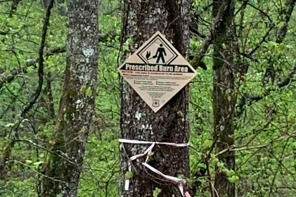
Sina Branch Road - Big Frog
This is a fire service road that was somewhat rougher when we visited and there were areas that looked like they were washing out. It doesn't require a 4x4 to traverse. While on this trail, you won't have cell service if you're using Verizon. The fall season is likely to offer some great views, and ...
Learn more about Sina Branch Road - Big Frog
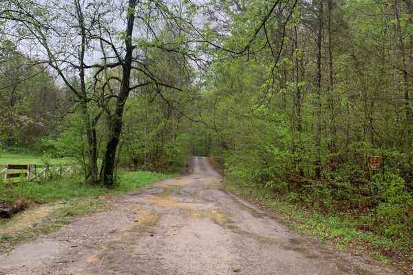
Blue Ridge Trail - Big Frog
This is a fire service road that was somewhat rougher when we visited and there were areas that looked like they were washing out. It doesn't require a 4x4 to traverse. While on this trail, you won't have cell service if you're using Verizon. The fall season is likely to offer some great views, and ...
Learn more about Blue Ridge Trail - Big Frog
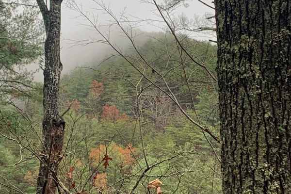
Big Frog - FS 62
Big Frog - FS 62 is an excellent forest road route for intermediate offroaders looking to explore the scenic, lesser-maintained mountain terrain bordering Georgia and Tennessee. Spanning approximately 11.4 miles, this trail is a key segment of the famous Georgia Traverse, offering a rugged trek thro...
Learn more about Big Frog - FS 62
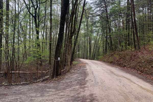
Baker Creek - Big Frog
The trail is a fairly well-maintained fire service road surfaced with gravel, which does not require a 4x4 vehicle to navigate. However, cell phone reception (Verizon) is not available while on the trail. There are several spots for dispersed camping located along the trail. During our visit, there ...
Learn more about Baker Creek - Big Frog
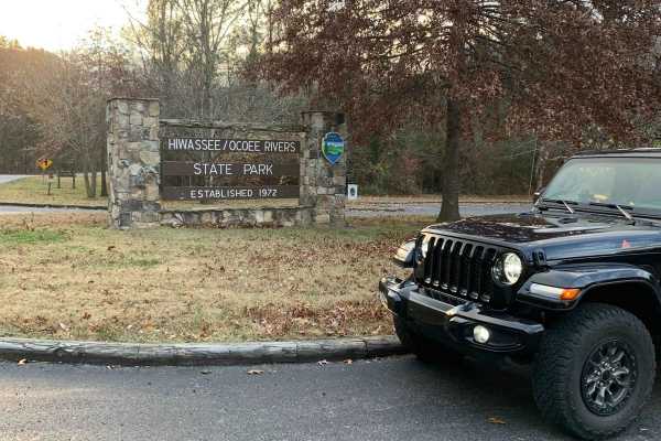
Spring Creek FSR 27
This gravel road runs beside the Hiwassee River for the first 2.25 miles, which is stunning. At mile 1.25, there is a place to park for a hike to what some people call Lookout Rock. The hiking trail is not marked, but it is easy to follow the worn path that everyone has followed. Although this is a ...
Learn more about Spring Creek FSR 27
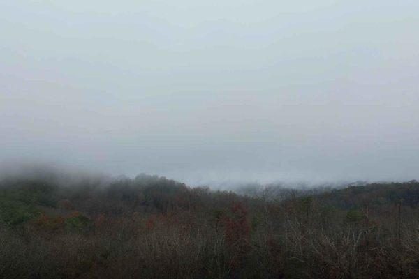
Falls Branch Road - FS 374
This forest service road is gravel and easy to navigate, there are a few rough places along the trail but nothing difficult. It is located in the Big Frog mountain wilderness which is part of the Cherokee National Forest. There are a lot of great views along this trail. When we went, the trail was c...
Learn more about Falls Branch Road - FS 374
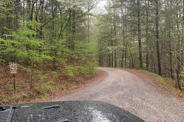
FS 221 - Big Frog
This is a well-groomed, gravel, fire service road. You do not need a 4x4 to do this trail. We did not have cell service (Verizon) on this trail. In the fall there should be some good views. There are some dispersed camping spots along this trail. When we visited they were doing some prescribed burns...
Learn more about FS 221 - Big Frog
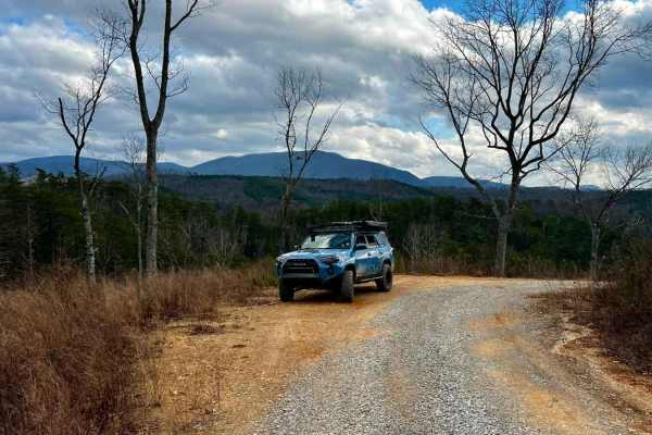
Pleasant Gap FS 17A
This is a perfect trail to glimpse broad mountain views in the GA forest or camp out to see the stars. Many trees have been downed from fires and clearing in the past few years, opening up views of the vast rolling hills with mountains in the distance. This in-and-back-out trail is a mix of mostly d...
Learn more about Pleasant Gap FS 17A
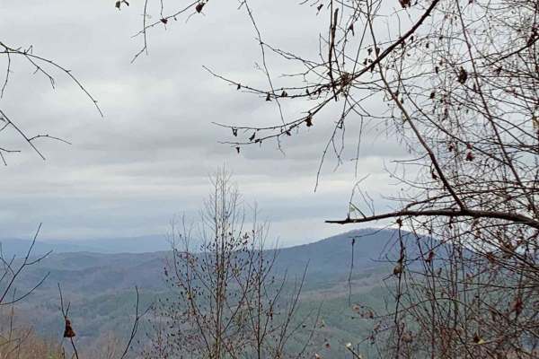
Peavine Sheeds - CR 221
This is a nice easy-to-navigate trail in the Big Frog Mountain Wilderness, part of the Cherokee National Forest. The trail is fairly well-maintained so it should be accessible to almost any vehicle. Several areas along the trail have great views of the surrounding mountains and valleys. There are ma...
Learn more about Peavine Sheeds - CR 221
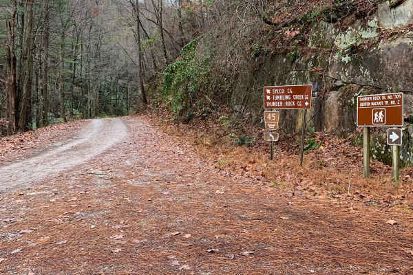
Little Gassaway - Trail NF45
This is a reasonably well-maintained road that starts at Ocoee Number Three Dam. It is one of the main access trails for the Big Frog Wilderness Area Trails. You will gain almost 1000 feet of elevation but it is not a steep climb. Nothing difficult about this trail so you do not need anything specia...
Learn more about Little Gassaway - Trail NF45
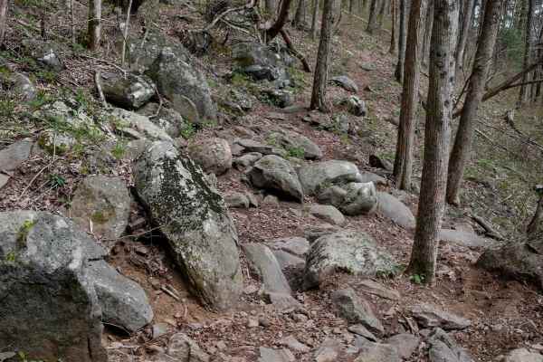
Windy Gap Motorcycle
Windy Gap Motorcycle Trail spans 2.6 miles with a demanding 1,400-foot elevation gain from south to north. Marked with a motorcycle-only pinch point and a sign warning it's for experienced riders, it begins like the ATV trail--wide and winding through the forest--but quickly narrows and ramps up in ...
Learn more about Windy Gap Motorcycle
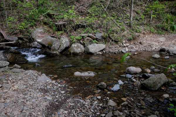
Milma Creek
Milma Creek ATV Trail is a 3.6-mile shelfy route that winds around the hillside, featuring frequent elevation changes totaling around 800 feet up and down. The trail is wide enough for 50" vehicles but includes exposed sections where caution is needed, especially on corners. Expect embedded and loos...
Learn more about Milma Creek
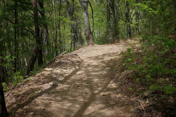
Windy Gap ATV
Windy Gap ATV Trail is a 1.8-mile ride with an 800-foot elevation gain from west to east, beginning at the large dirt Windy Gap Trailhead. The trail is wide and smooth, with easy features like gentle rollers from the waterbars, shallow ruts, small gravelly rocks, dips, and log and stick debris in th...
Learn more about Windy Gap ATV
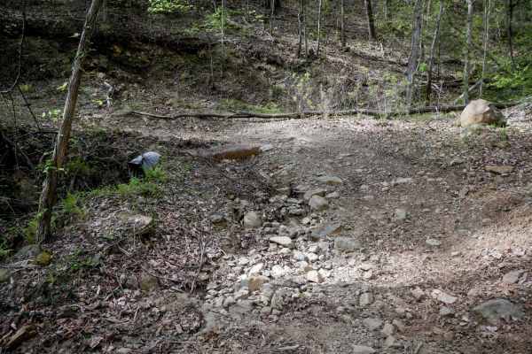
Tibbs ATV
Tibbs ATV Trail is a 2.2-mile out-and-back route starting at a large intersection with Milma Creek Trail. The northern section has been decommissioned and no longer connects to the Tibbs ORV Trailhead, according to the Forest Service. The trail is a wide, shelfy two-track traversing the mountainside...
Learn more about Tibbs ATV
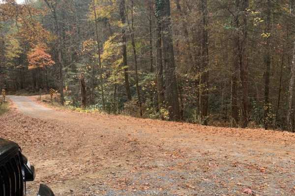
Bullet Creek Ellis Creek 44
This is an easy trail that can be driven by any vehicle. There are a few places on the road to see some great views. Very peaceful drive through the woods. There are several places to disperse camp on this road. There is a bridge across a fairly large creek about 3/4 way to the end of the trail.
Learn more about Bullet Creek Ellis Creek 44
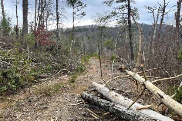
Ditney Mountain (66)
Ditney Mountain Trail (66) is a rocky trail with narrow twists and turns and a few fun mud holes. Be sure you are in a rig you don't mind limbs scratching alongside your rig. A few washouts will test your flex. Stock 4X4s can make this trail but are not recommended. You can tell the trail is not dri...
Learn more about Ditney Mountain (66)
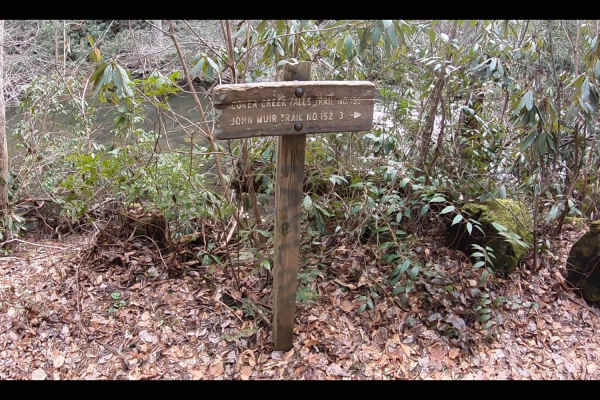
Duckett Ridge FSR #22B
The trail winds off the side of the mountain down to the historic Coker Creek River. This is known as the Lower Coker Creek trailhead. You will find a few very secluded camp spots along the river at the end of this trail. Many people use this as a base camp to hike the surrounding trails along the r...
Learn more about Duckett Ridge FSR #22B
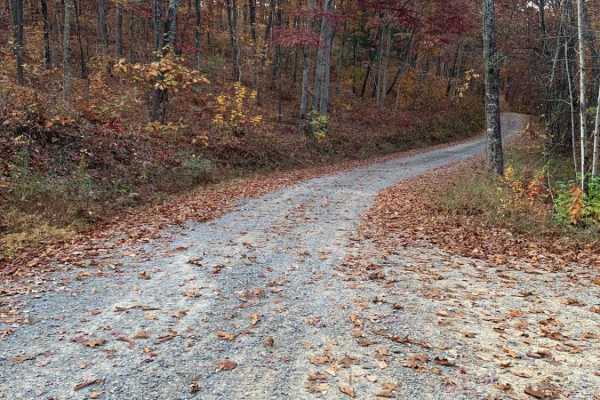
Starr Mountain Road 220
This is a well-maintained gravel Forest Service road. You do not need anything special to drive this road. You may see some deer. There is a bridge close to the end of the road that crosses a creek. There are a few spots where you can look out over the valleys and mountains, but you will need to vis...
Learn more about Starr Mountain Road 220
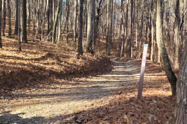
181-D
Trail 181-D is a lot like Trail C. It connects off of 181-C, circles around, and connects to the end of 181-A. This is a smooth and fun ATV loop that makes a great start to any ride in the Houston Valley ORV Area. The trail surface is mostly packed dirt, with gravel and small rocks pushed off to the...
Learn more about 181-D
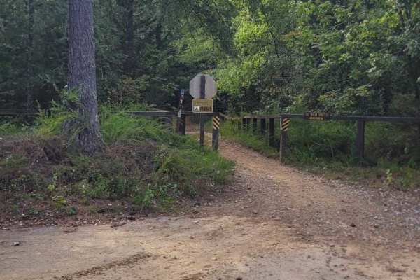
181-A
This is 181-A and begins off the west side of the paved parking lot. This is a 2-track and an easy trail. It will take you past trails 181-B, 181-C, 181-D, and all the way out to trail 181-E. If you can't do this one, you're going to have a hard time elsewhere.
Learn more about 181-A
ATV trails near Cleveland, Tennessee
Explore ATV-friendly trails near you. These trails are accessible for vehicles up to 50 inches wide, perfect for ATVs and smaller off-road machines.
Sina Branch Road - Big Frog
This is a fire service road that was somewhat rougher when we visited and there were areas that looked like they were washing out. It doesn't require a 4x4 to traverse. While on this trail, you won't have cell service if you're using Verizon. The fall season is likely to offer some great views, and ...
Learn more about Sina Branch Road - Big Frog
Blue Ridge Trail - Big Frog
This is a fire service road that was somewhat rougher when we visited and there were areas that looked like they were washing out. It doesn't require a 4x4 to traverse. While on this trail, you won't have cell service if you're using Verizon. The fall season is likely to offer some great views, and ...
Learn more about Blue Ridge Trail - Big Frog
Big Frog - FS 62
Big Frog - FS 62 is an excellent forest road route for intermediate offroaders looking to explore the scenic, lesser-maintained mountain terrain bordering Georgia and Tennessee. Spanning approximately 11.4 miles, this trail is a key segment of the famous Georgia Traverse, offering a rugged trek thro...
Learn more about Big Frog - FS 62
Baker Creek - Big Frog
The trail is a fairly well-maintained fire service road surfaced with gravel, which does not require a 4x4 vehicle to navigate. However, cell phone reception (Verizon) is not available while on the trail. There are several spots for dispersed camping located along the trail. During our visit, there ...
Learn more about Baker Creek - Big Frog
UTV/side-by-side trails near Cleveland, Tennessee
Find UTV and side-by-side trails near you. These trails accommodate vehicles up to 60 inches wide, ideal for UTVs, side-by-sides, and wider off-road rigs.
Sina Branch Road - Big Frog
This is a fire service road that was somewhat rougher when we visited and there were areas that looked like they were washing out. It doesn't require a 4x4 to traverse. While on this trail, you won't have cell service if you're using Verizon. The fall season is likely to offer some great views, and ...
Learn more about Sina Branch Road - Big Frog
Blue Ridge Trail - Big Frog
This is a fire service road that was somewhat rougher when we visited and there were areas that looked like they were washing out. It doesn't require a 4x4 to traverse. While on this trail, you won't have cell service if you're using Verizon. The fall season is likely to offer some great views, and ...
Learn more about Blue Ridge Trail - Big Frog
Big Frog - FS 62
Big Frog - FS 62 is an excellent forest road route for intermediate offroaders looking to explore the scenic, lesser-maintained mountain terrain bordering Georgia and Tennessee. Spanning approximately 11.4 miles, this trail is a key segment of the famous Georgia Traverse, offering a rugged trek thro...
Learn more about Big Frog - FS 62
Baker Creek - Big Frog
The trail is a fairly well-maintained fire service road surfaced with gravel, which does not require a 4x4 vehicle to navigate. However, cell phone reception (Verizon) is not available while on the trail. There are several spots for dispersed camping located along the trail. During our visit, there ...
Learn more about Baker Creek - Big Frog
The onX Offroad Difference
onX Offroad combines trail photos, descriptions, difficulty ratings, width restrictions, seasonality, and more in a user-friendly interface. Available on all devices, with offline access and full compatibility with CarPlay and Android Auto. Discover what you're missing today!
Open Trail Map