Trail Overview
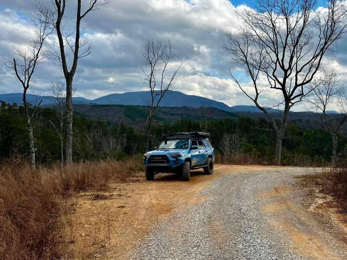
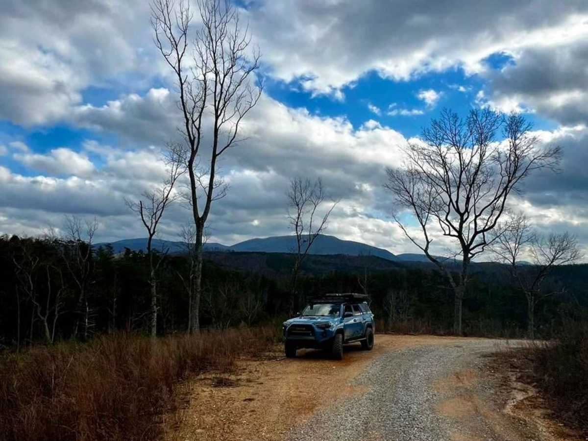
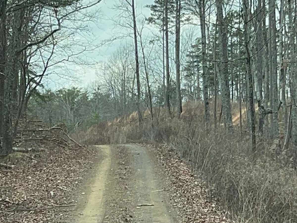
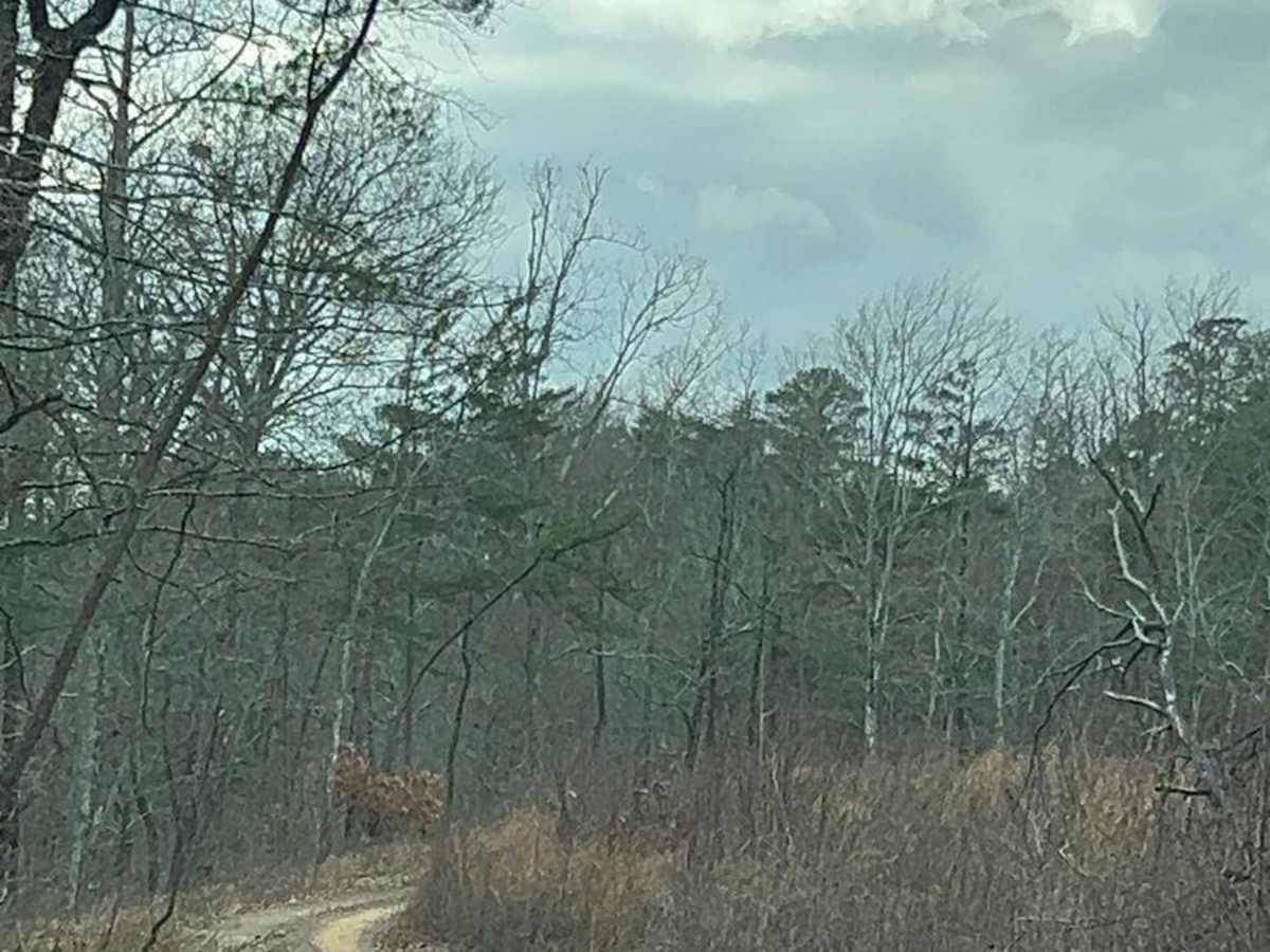
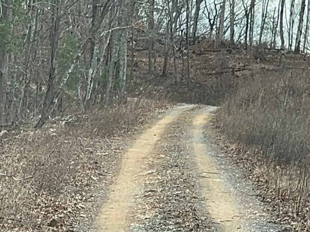
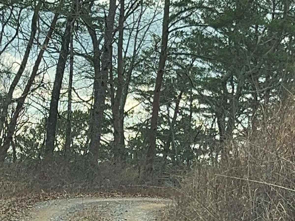
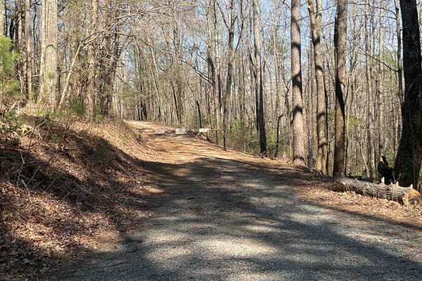
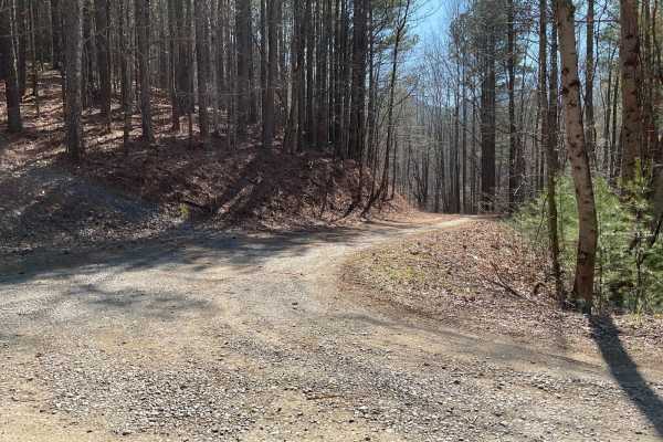
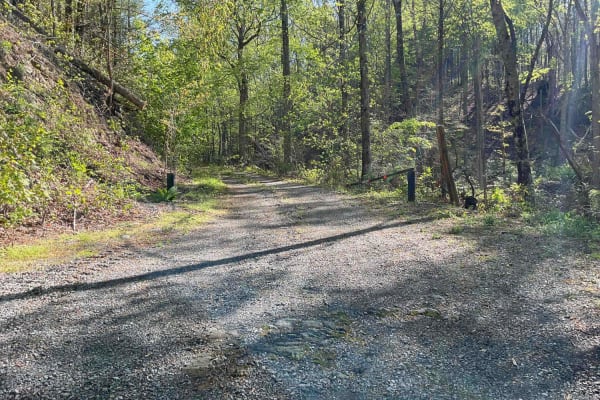
This is a perfect trail to glimpse broad mountain views in the GA forest or camp out to see the stars. Many trees have been downed from fires and clearing in the past few years, opening up views of the vast rolling hills with mountains in the distance. This in-and-back-out trail is a mix of mostly dirt, some gravel, and a few small mud holes after a rain. You will drive through gentle rolling hills and a mix of trees and open areas. There is one pull-off spot to the side of the road to park and take in the mountain views. Towards the beginning, a vast campsite up a short hill to the right would allow many rigs to camp at once. There are other small secluded campsites towards the back, one up a short hill for 2-3 vehicles and the other at the end of the train with a significant turnabout. To get to this trail, you will need to enter through FS 17, which, according to the MVUM map, the north part of 17 is open year-round, and the south section is open seasonally from 10/1-1/1, 3/4-10/1. The map also lists this trail as open from 9/27-10/15, 11/25-12/9, 12/30-1/31, and 4/4-5/16, although it was open in February, possibly due to nicer weather. This trail is listed as open to highway-legal vehicles Only.We also passed a group on horseback, so please be watchful and drive safely. This is an excellent offshoot trail when driving the Cohutta Wilderness Area, connecting to Big Frog to the north. Getting there: Entering from the south, you can go to this trail from FS 630, open year-round, and take a left at FS 17. Entering from the north, you can take Old Hwy 2 to FS 17. To the south of 630 is Eto, which has gas and many drive-throughs. To the nort,h take Old Hwy 2 west of Cisc,o with a gas station to the south. Cell service can be spotty with AT&T.