
Dirt Bike Trails
Near Chattahoochee Hills, Georgia
Explore All Dirt Bike Trails Near Chattahoochee Hills, Georgia
Dirt Bike Trails Near Chattahoochee Hills, Georgia
Discover the best dirt bike trails near you. Browse trail maps, check difficulty ratings, and find your next adventure — whether you're looking for a quick ride or an all-day expedition.
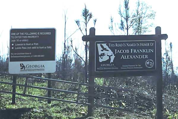
Alexander Hollow Trail
Alexander Hollow Trail in the Jacob Franklin Alexander tract of Sprewell Bluff Wildlife Management Area follows a canopy below the ridgeline in the scenic foothills. This 2.5-mile out-and-back gravel and dirt route has little rutting and washouts along the route, with some ridge grass growth along t...
Learn more about Alexander Hollow Trail
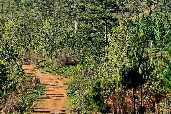
Alexander Ridge Trail
This mostly gravel with packed dirt single trail winds 4.4 miles in-and-back through Sprewell Bluff WMA across rolling ridges and foothills near the Flint River. Expect steep climbs, sharp descents, ruts, wash-outs, and loose rocky terrain. Scenic vistas reward the effort, with the landscape changin...
Learn more about Alexander Ridge Trail
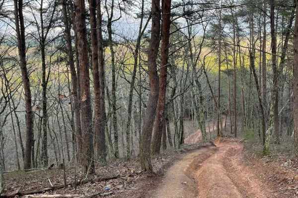
9
Trail 9 is an easy trail that will connect you to trails 16, 11, and 10. Only two-wheel drive is needed. It goes right past the famous Foxes Hollow trail, which can be a challenge at times. It's often a hangout at nighttime. This is a fun and easy connector trail for most.
Learn more about 9
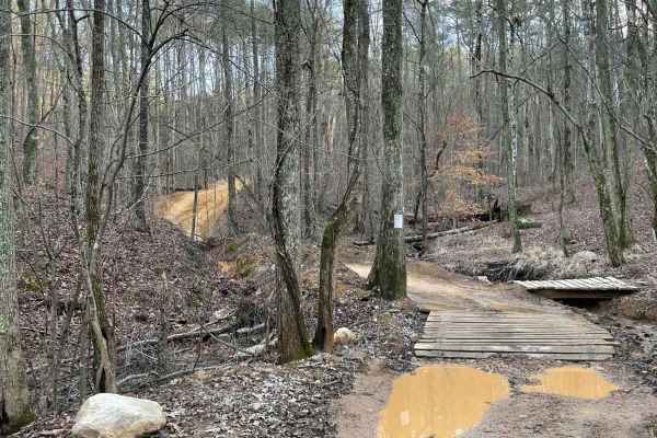
16
This is the main connecting trail that will take you from the dam and wind through the woods. You'll go past the entrance to Trail 6, Trail 15, and Foxes Hollow and end up at the powerlines, which is a very popular spot to hang out. The trail has a couple of small one-lane bridges to cross.
Learn more about 16
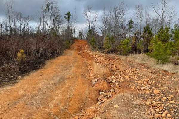
Trail 8
Trail 8 is a shortcut trail that crosses a ridge. It starts at both ends of Trail 12 and leads to the top of Kiley's Crawl and Booger Holler. You can drive it in any vehicle in 2WD. It takes you to the top of Paycheck Holler and allows two-way traffic. Watch out for riders.
Learn more about Trail 8
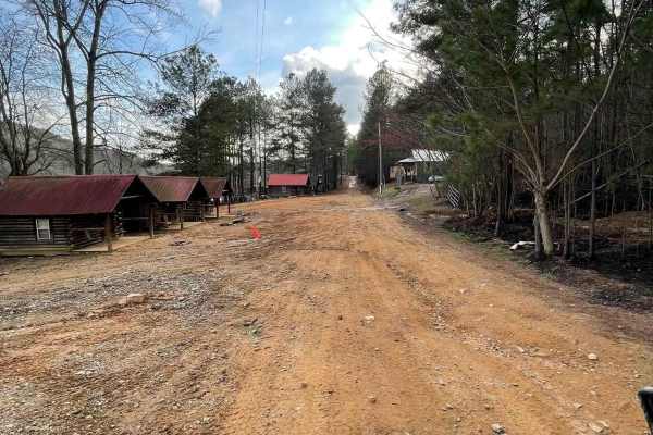
12
The main connecting trail at Indian Mountain ATV park links to Trail 1 and runs uphill, passing by all the cabins. It's an easy trail suitable for any vehicle in 2WD. As you progress, you might encounter a few mud puddles in some areas. The trail accommodates two-way traffic, so be sure to watch out...
Learn more about 12
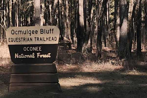
Saddler's Path
This beginner-friendly, two-way, through connector trail winds through a quiet equestrian corridor of gravel, sand, and packed dirt. Conditions are generally easy but can become slick and washed after rain, so steady driving is recommended. This trail runs through the Oconee National Forest and pass...
Learn more about Saddler's Path
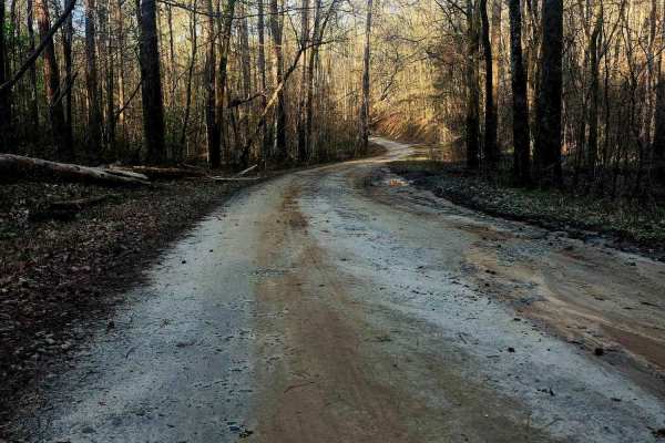
Upper Pope Trail
Wind through Oconee National Forest on this beginner-friendly trail that delivers terrain rarely found in the area. Rolling inclines, dips, and winding stretches reveal scenic ridge views as the route shifts between gravel, sand, and scattered rock shelves and can become slick after rain. Evidence ...
Learn more about Upper Pope Trail
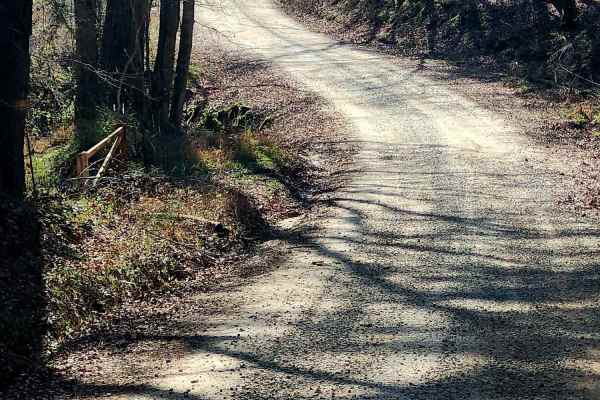
Murder Creek
This 3.2-mile trail winds through the Charlie Elliott Wildlife Center, offering a relaxing yet engaging ride over mostly gravel with stretches of dirt. Expect scattered potholes and occasional soft shoulders shaped by runoff. This is a well-maintained and traveled road, so be prepared for frequent s...
Learn more about Murder Creek

Duck Nest Motorway - FS 651
Good mix of gravel and dirt. There are several beautiful creeks to pass over with one-lane bridges along the route. A few mud holes are possible if it is wet. Some washboarding on the road towards the north side of the road. The dispersed camping labeled on OnX is not a great campsite, but it could ...
Learn more about Duck Nest Motorway - FS 651
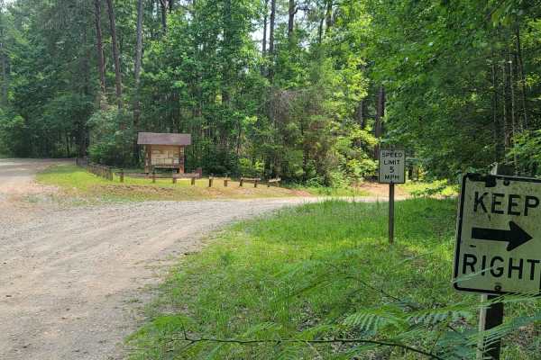
USFSR #643C Kentuck OHV Trailhead
USFSR #643C Kentuck OHV Trailhead is a short, 0.6-mile dirt connector trail in the Talladega National Forest designed for ATVs, dirt bikes, and mountain bikes seeking direct access to the popular Kentuck OHV trail system. This easy route features minimal elevation changes, ranging from 846 feet to 8...
Learn more about USFSR #643C Kentuck OHV Trailhead
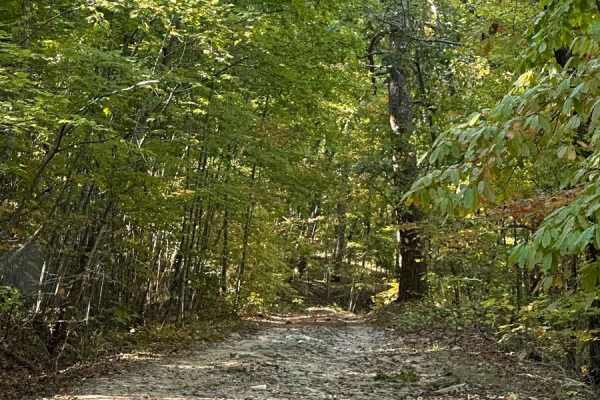
FS600-2
Beginning at the northeast end of FS600-2 and traveling southwest, this service road is packed with dirt filled with irregular rocks, making for a rough ride if not airing down. The first couple of miles are similar before reaching the first of the washouts. Washouts are 1 to 3 feet deep and are avo...
Learn more about FS600-2
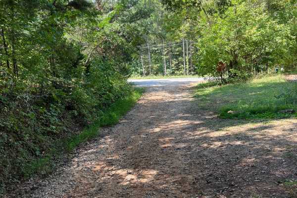
Dunaway Gap - FS 204
This path, situated between Dry Creek Road and Floyd Springs Road NE, primarily features a gravel and dirt track, offering a unique experience for outdoor enthusiasts. As you traverse this route, be prepared to encounter several washouts and ruts, which require careful navigation to ensure safety. T...
Learn more about Dunaway Gap - FS 204
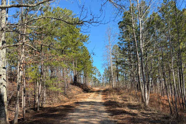
FS 637 K/M
This trail starts as a gravel road and quickly transitions to dirt, winding through pine trees and crossing several mud holes. There are a couple of rutted sections that can become slick when wet. The route ends at an old cemetery with graves dating back to the late 1800s and early 1900s.
Learn more about FS 637 K/M
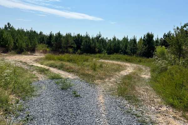
Calbeck - FS 955E
Calebck spurs off of FS 955B, also known as Hidden Creek Road. This freshly graveled track is thick and loose, so please ride with caution if you are on two wheels. The journey begins with a steady elevation gain for the first 2.7 miles. After this ascent, the track drops in elevation by roughly 150...
Learn more about Calbeck - FS 955E
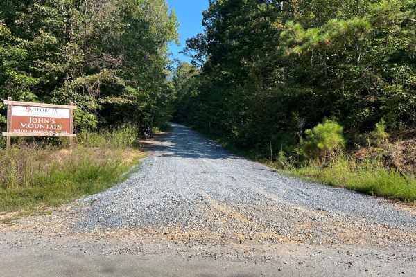
Blue Springs Branch A - FS 955A
This track spurs off of FS 955F, also known as Bow Creek. It is structured as a full out-and-back route along a freshly graveled forest road with a steady, consistent elevation gain throughout the journey. The trail gets quite tight in several places, but fortunately, there are pull-off areas scatte...
Learn more about Blue Springs Branch A - FS 955A
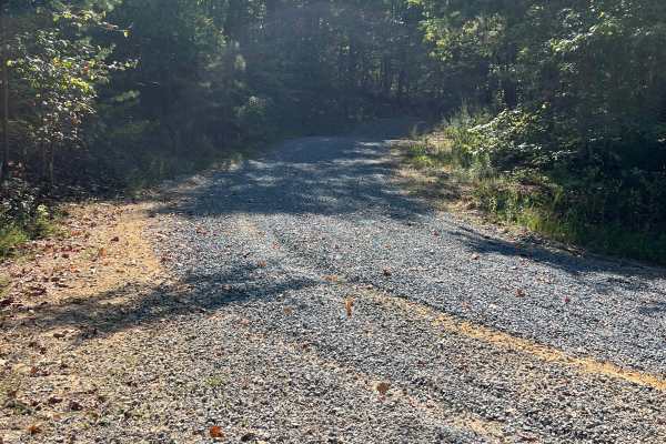
Blue Springs Branch D - FS 955D
This track branches off from FS 955F, also known as Bow Creek, and offers a unique driving experience. Recently, it has been freshly graveled, resulting in a thick and loose gravel surface that adds a bit of challenge to the journey. As you navigate the track, you’ll encounter a steady elevation gai...
Learn more about Blue Springs Branch D - FS 955D
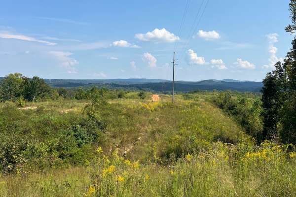
Taylor's Ridge - FS 254
If you’re in the mood for a little adventure, take a detour off Martha Berry Highway (Route 27) and follow the nicely graveled two-track that winds its way into the majestic Chattahoochee National Forest. This hidden gem practically invites you to leave the beaten path and embrace the thrill of expl...
Learn more about Taylor's Ridge - FS 254
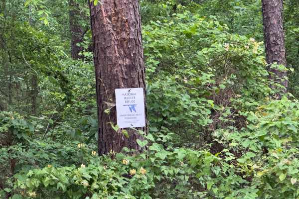
Five Points Road
Five Points Road is an east-west county road traversing through the midsection of the Piedmont NWR. It is a well-maintained, packed clay surface, two lanes wide for easy travel. There are about a dozen side roads that have been gated off and are marked for foot travel only. These side roads provide ...
Learn more about Five Points Road
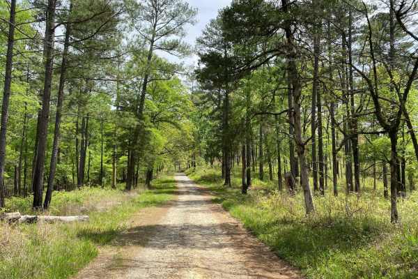
Hitchiti
Hitchiti is a well-maintained gravel trail. There's a bridge over scenic Falling Creek just after you pass through the gate. The trail then winds through an experimental demonstration area, mostly pines, where the US Forest Service evaluates various methods for sustaining and managing forests. The t...
Learn more about Hitchiti
ATV trails near Chattahoochee Hills, Georgia
Explore ATV-friendly trails near you. These trails are accessible for vehicles up to 50 inches wide, perfect for ATVs and smaller off-road machines.
Alexander Hollow Trail
Alexander Hollow Trail in the Jacob Franklin Alexander tract of Sprewell Bluff Wildlife Management Area follows a canopy below the ridgeline in the scenic foothills. This 2.5-mile out-and-back gravel and dirt route has little rutting and washouts along the route, with some ridge grass growth along t...
Learn more about Alexander Hollow Trail
Alexander Ridge Trail
This mostly gravel with packed dirt single trail winds 4.4 miles in-and-back through Sprewell Bluff WMA across rolling ridges and foothills near the Flint River. Expect steep climbs, sharp descents, ruts, wash-outs, and loose rocky terrain. Scenic vistas reward the effort, with the landscape changin...
Learn more about Alexander Ridge Trail
9
Trail 9 is an easy trail that will connect you to trails 16, 11, and 10. Only two-wheel drive is needed. It goes right past the famous Foxes Hollow trail, which can be a challenge at times. It's often a hangout at nighttime. This is a fun and easy connector trail for most.
Learn more about 9
16
This is the main connecting trail that will take you from the dam and wind through the woods. You'll go past the entrance to Trail 6, Trail 15, and Foxes Hollow and end up at the powerlines, which is a very popular spot to hang out. The trail has a couple of small one-lane bridges to cross.
Learn more about 16
UTV/side-by-side trails near Chattahoochee Hills, Georgia
Find UTV and side-by-side trails near you. These trails accommodate vehicles up to 60 inches wide, ideal for UTVs, side-by-sides, and wider off-road rigs.
Alexander Hollow Trail
Alexander Hollow Trail in the Jacob Franklin Alexander tract of Sprewell Bluff Wildlife Management Area follows a canopy below the ridgeline in the scenic foothills. This 2.5-mile out-and-back gravel and dirt route has little rutting and washouts along the route, with some ridge grass growth along t...
Learn more about Alexander Hollow Trail
Alexander Ridge Trail
This mostly gravel with packed dirt single trail winds 4.4 miles in-and-back through Sprewell Bluff WMA across rolling ridges and foothills near the Flint River. Expect steep climbs, sharp descents, ruts, wash-outs, and loose rocky terrain. Scenic vistas reward the effort, with the landscape changin...
Learn more about Alexander Ridge Trail
9
Trail 9 is an easy trail that will connect you to trails 16, 11, and 10. Only two-wheel drive is needed. It goes right past the famous Foxes Hollow trail, which can be a challenge at times. It's often a hangout at nighttime. This is a fun and easy connector trail for most.
Learn more about 9
16
This is the main connecting trail that will take you from the dam and wind through the woods. You'll go past the entrance to Trail 6, Trail 15, and Foxes Hollow and end up at the powerlines, which is a very popular spot to hang out. The trail has a couple of small one-lane bridges to cross.
Learn more about 16
The onX Offroad Difference
onX Offroad combines trail photos, descriptions, difficulty ratings, width restrictions, seasonality, and more in a user-friendly interface. Available on all devices, with offline access and full compatibility with CarPlay and Android Auto. Discover what you're missing today!
Open Trail Map