
Dirt Bike Trails
Near Central Valley, Utah
Explore All Dirt Bike Trails Near Central Valley, Utah
Dirt Bike Trails Near Central Valley, Utah
Discover the best dirt bike trails near you. Browse trail maps, check difficulty ratings, and find your next adventure — whether you're looking for a quick ride or an all-day expedition.
Wash and Dry
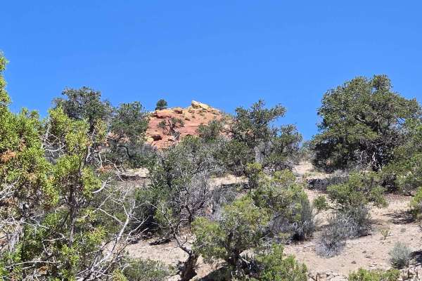
Wash and Dry consists of Trail 106, Flat Canyon Tie 1084, and 1084A. This trail starts in Flat Canyon wash and follows the wash back into the canyon. There are lots of interesting rock formations to look at as you go. You will gradually climb up in elevation as this trail goes in and out of the wash...
Learn more about Wash and Dry
Albinus Canyon- Elsinore Mountain Road- FS 40105
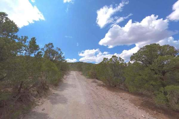
Albinus Canyon-Elsinore Mountain Road is a 7.3-mile point-to-point trail rated 2 of 10 located in Sevier County. The trail starts on the western side of the community of Elsinore and is the gateway into the Fishlake National Forest, Fillmore Ranger District. This trail is also part of the Paiute Tra...
Learn more about Albinus Canyon- Elsinore Mountain Road- FS 40105
Hill Hopper
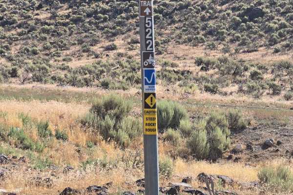
This trail consists of Trail 1522 and Trail 1515. This trail starts off looking meek and mild, then you encounter big rocks on either side of the trail, which is now off camber. An interesting start to a fun trail. It winds through lower hills, has native plants and trees. There is a narrow ridge pa...
Learn more about Hill Hopper
Paiute Side Trail
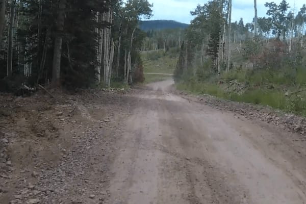
This is a side trail that shortens the ride from the P11 trail down into Joseph instead of taking the P11 trail all the way into Elsinore. It is mostly flat with some narrow twisting sections. You need to watch out for cows since they are all over and don't often move off the road.
Learn more about Paiute Side Trail
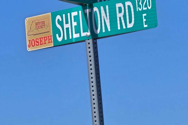
South Shelton Road
This is a scenic drive between farm fields and the South Bend Canal. This trail is a pretty ride along the canal. It is easy, with no climbs or obstacles along the way. Nice views of the fields and the mountains that surround the entire valley. It starts and ends at Highway 118.
Learn more about South Shelton Road
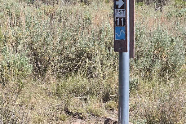
Paiute 1 to Richfield-Pioneer
This trail is a little bit harder. There are different rock formations with a little more clearance requirement. It also gets narrower as it is a side-by-side part of the trail. A minimum high clearance is a must. There are watering ponds and corrals along this part. Look for deer, elk, and other wi...
Learn more about Paiute 1 to Richfield-Pioneer
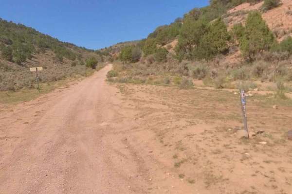
Watts Mountain Road- FS 40111
Watts Mountain Road is a 10.7-mile point-to-point trail rated 2 of 10 located in Sevier County. The trail starts on the western side of the community of Elsinore and is the gateway into the Fishlake National Forest, Fillmore Ranger District. Watts Mountain Road is the main north/south track that run...
Learn more about Watts Mountain Road- FS 40111
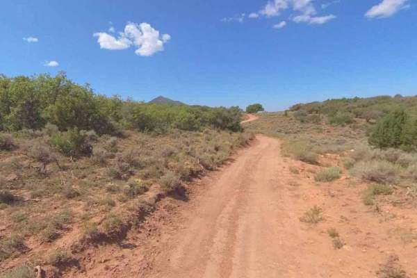
FS-40956
FSR40956 is a 1.1-mile point-to-point trail rated 3 of 10 located in Millard County. This connector trail links Watts Mountain Road with Trail Spring Bench and is part of the Paiute Trail Network #1. This section of trail offers high altitude (above 7500') dispersed camping in open meadows or along ...
Learn more about FS-40956
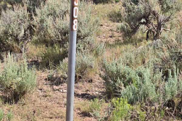
FSR 40508/ FSR 40655 Loop
The trail is primarily used by ranchers on horseback or ATV. This is a very narrow trail with sagebrush on both sides. This is a very scenic area with rock formations and small trees. Watering holes are in the area so be watchful of wildlife. The smell of sage is strong and enjoyable.
Learn more about FSR 40508/ FSR 40655 Loop
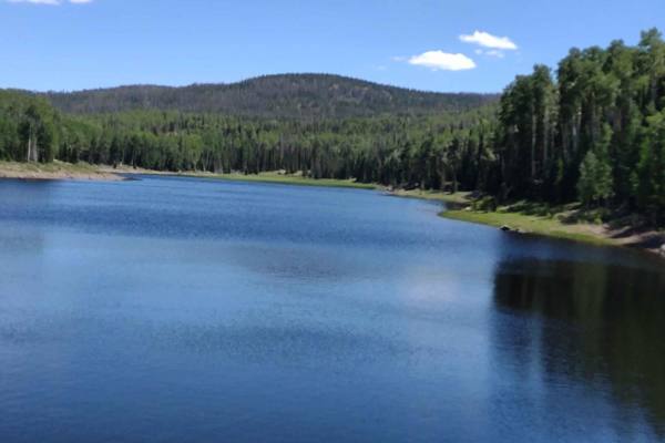
Annabella Reservoir/Deep Lake - FS 40080
Just 3 miles west of Big Lake in southern Sevier County, Utah, you find Annabella Reservoir and Deep Lake. The trail goes through private land, but access is permitted if one stays on the trail. This is a good road, with room for two vehicles to meet in most places, and it goes through some beautifu...
Learn more about Annabella Reservoir/Deep Lake - FS 40080
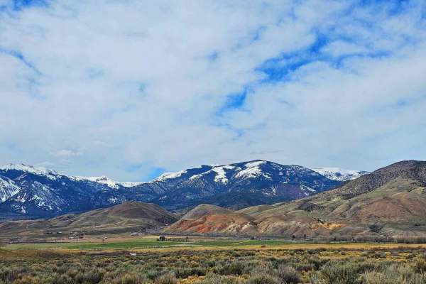
Poverty Flat Road
This is an easy road to travel on and has a breathtaking landscape to go with it. Nestled against Monroe Mountain, you will see all sorts of wildlife by the trail. There are also a bunch of old mines along the trail and you can see their tailing piles and the old portals. This area was known for ura...
Learn more about Poverty Flat Road
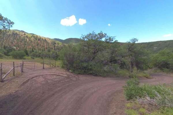
Trail Spring Bench- FS 40107
Trail Spring Bench is a 4.4-mile point-to-point trail rated 3 of 10 located in Millard County. This trail runs along the west side and then crosses the Pavant Mountain Range. It is within the Fishlake National Forest, Fillmore Ranger District. Trail Spring Road is part of the original Paiute Trail N...
Learn more about Trail Spring Bench- FS 40107
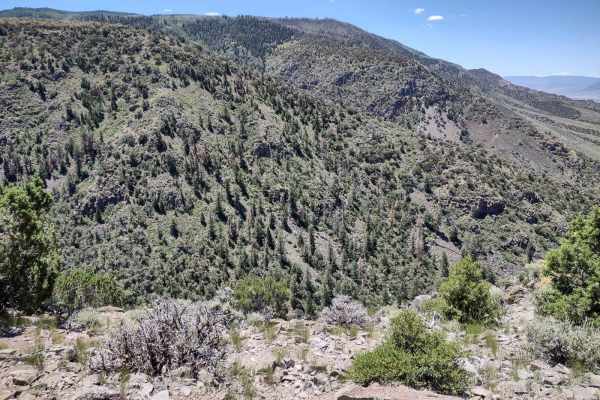
Lower Rock Canyon Overlook - FS 4950
Lower Rock Canyon Overlook runs north across the top of Lone Pine Ridge, above Rock Canyon, to the overlook point of the northern end of the canyon. It's a beautiful location. There is a dirt bike or quad trail that runs through the bottom of the canyon, or you can hike it or ride horseback. The vie...
Learn more about Lower Rock Canyon Overlook - FS 4950
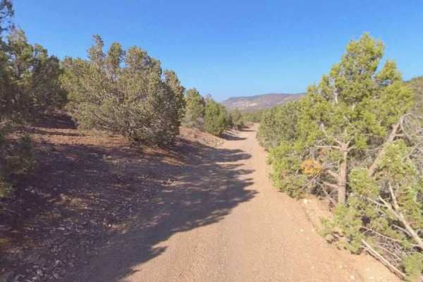
Bell Rock - PST40
Bell Rock is a 4-mile point-to-point portion of the Paiute Side Trail 40 (PST40) trail rated 2 of 10 located in Sevier County. This portion of the trail is open for use to licensed street-legal vehicles, motorcycles, ATVs, bicycles, equestrians, and hikers. The BLM maps will show this trail as BLM 3...
Learn more about Bell Rock - PST40
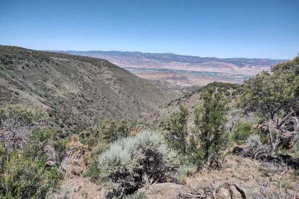
Davis Hollow Overlook - FS 42115
Davis Hollow Overlook winds across a sagebrush ridge, around several ponds to the overlook locations for Davis Hollow. The trail is rocky in places, and there is one short rocky hill. It's narrow, but an easy track. The trail ends at a nice grove of trees, and it's just a short walk to the canyon ri...
Learn more about Davis Hollow Overlook - FS 42115
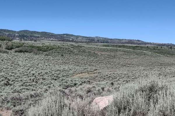
Glenwood Access to Fishlake Natl Forest - FS 40068
Fishlake Natl Forest access from Glenwood, Utah, is a good road in the summertime. It's dusty, and there is some traffic, but otherwise it's easy. We don't know when in the fall this road is closed, but we're certain it's not open year-round. There are indications along the road it's used as a snowm...
Learn more about Glenwood Access to Fishlake Natl Forest - FS 40068
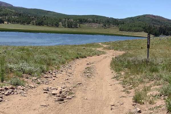
Big Lake Loop - FS 41154
This two-and-a-half-mile track takes you clear around Big Lake when the water level is high enough that you can't drive around the shore. The trail is wide enough for one vehicle, but there are places to pull over if you meet someone. There are some rocks in the trail, but nothing too challenging. G...
Learn more about Big Lake Loop - FS 41154
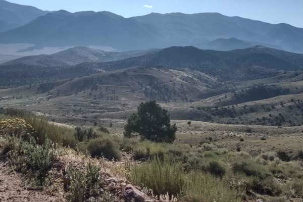
Joseph to Marysvale
This trail boasts spectacular scenery as you move north or south, from Marysvale to Joseph or the reverse. These roads connect the trails on either end of this trail for great riding in the fantastic mountains of southern Utah. Too early in the spring or too late in the fall, you may encounter snow,...
Learn more about Joseph to Marysvale
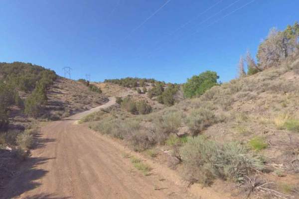
Powerline-Durfees Road-PST42
Powerline-Durfees Road is a semi-well-maintained 1.1-mile point-to-point section of the overall Powerline Road and is rated 2 of 10. Located within Sevier County, this section of the trail is part of the Paiute Side Trail #42 and connects with other trails within the Paiute Trail System. This year-r...
Learn more about Powerline-Durfees Road-PST42
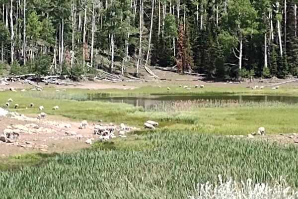
Hunts Lakes Loop - FS 40075
Hunts Lakes Loop (aka Hunts Lake) is a side trip off of Monroe Canyon Road (aka Old Sawmill Road). It's just over a mile, and at the end of FS# 40075 there are a couple of spurs that go out to each lake. You may find a sheepherder, his horses and dog, and a herd of sheep grazing in this beautiful ar...
Learn more about Hunts Lakes Loop - FS 40075
ATV trails near Central Valley, Utah
Explore ATV-friendly trails near you. These trails are accessible for vehicles up to 50 inches wide, perfect for ATVs and smaller off-road machines.
Wash and Dry
Wash and Dry consists of Trail 106, Flat Canyon Tie 1084, and 1084A. This trail starts in Flat Canyon wash and follows the wash back into the canyon. There are lots of interesting rock formations to look at as you go. You will gradually climb up in elevation as this trail goes in and out of the wash...
Learn more about Wash and Dry
Albinus Canyon- Elsinore Mountain Road- FS 40105
Albinus Canyon-Elsinore Mountain Road is a 7.3-mile point-to-point trail rated 2 of 10 located in Sevier County. The trail starts on the western side of the community of Elsinore and is the gateway into the Fishlake National Forest, Fillmore Ranger District. This trail is also part of the Paiute Tra...
Learn more about Albinus Canyon- Elsinore Mountain Road- FS 40105
Hill Hopper
This trail consists of Trail 1522 and Trail 1515. This trail starts off looking meek and mild, then you encounter big rocks on either side of the trail, which is now off camber. An interesting start to a fun trail. It winds through lower hills, has native plants and trees. There is a narrow ridge pa...
Learn more about Hill Hopper
Paiute Side Trail
This is a side trail that shortens the ride from the P11 trail down into Joseph instead of taking the P11 trail all the way into Elsinore. It is mostly flat with some narrow twisting sections. You need to watch out for cows since they are all over and don't often move off the road.
Learn more about Paiute Side Trail
UTV/side-by-side trails near Central Valley, Utah
Find UTV and side-by-side trails near you. These trails accommodate vehicles up to 60 inches wide, ideal for UTVs, side-by-sides, and wider off-road rigs.
Wash and Dry
Wash and Dry consists of Trail 106, Flat Canyon Tie 1084, and 1084A. This trail starts in Flat Canyon wash and follows the wash back into the canyon. There are lots of interesting rock formations to look at as you go. You will gradually climb up in elevation as this trail goes in and out of the wash...
Learn more about Wash and Dry
Albinus Canyon- Elsinore Mountain Road- FS 40105
Albinus Canyon-Elsinore Mountain Road is a 7.3-mile point-to-point trail rated 2 of 10 located in Sevier County. The trail starts on the western side of the community of Elsinore and is the gateway into the Fishlake National Forest, Fillmore Ranger District. This trail is also part of the Paiute Tra...
Learn more about Albinus Canyon- Elsinore Mountain Road- FS 40105
Hill Hopper
This trail consists of Trail 1522 and Trail 1515. This trail starts off looking meek and mild, then you encounter big rocks on either side of the trail, which is now off camber. An interesting start to a fun trail. It winds through lower hills, has native plants and trees. There is a narrow ridge pa...
Learn more about Hill Hopper
Paiute Side Trail
This is a side trail that shortens the ride from the P11 trail down into Joseph instead of taking the P11 trail all the way into Elsinore. It is mostly flat with some narrow twisting sections. You need to watch out for cows since they are all over and don't often move off the road.
Learn more about Paiute Side Trail
The onX Offroad Difference
onX Offroad combines trail photos, descriptions, difficulty ratings, width restrictions, seasonality, and more in a user-friendly interface. Available on all devices, with offline access and full compatibility with CarPlay and Android Auto. Discover what you're missing today!
Open Trail Map