Trail Overview
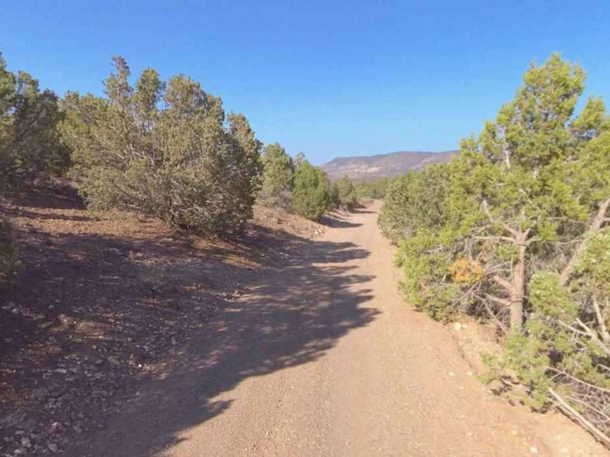
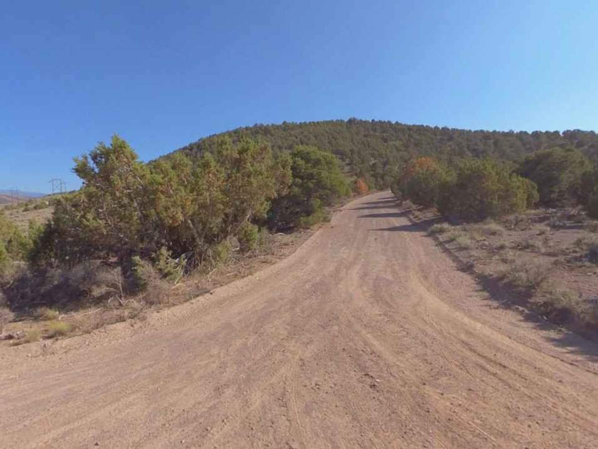
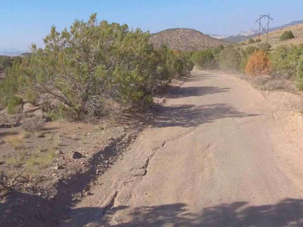
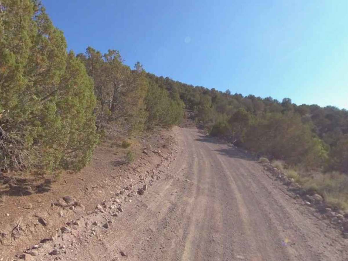
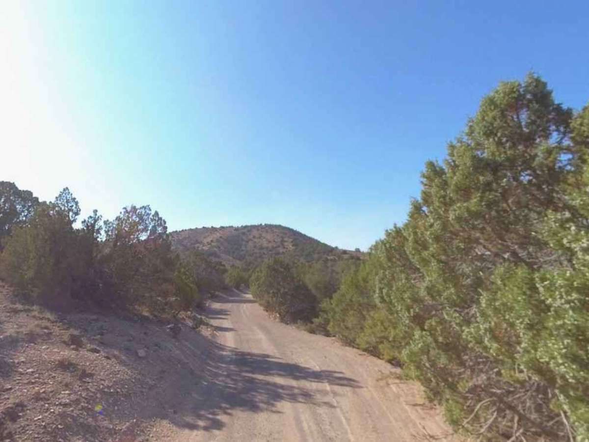
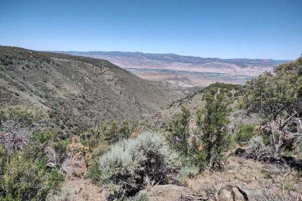
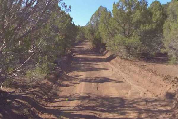
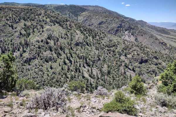
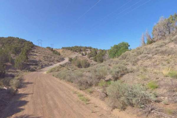
Bell Rock is a 4-mile point-to-point portion of the Paiute Side Trail 40 (PST40) trail rated 2 of 10 located in Sevier County. This portion of the trail is open for use to licensed street-legal vehicles, motorcycles, ATVs, bicycles, equestrians, and hikers. The BLM maps will show this trail as BLM 3577, while trail signage identifies it as 2410, which is the legacy from the National Forest Service and is the designation for the section between the BLM/NFS boundary and Monroe Mountain Road NFS40068. The trail climbs over 1300-feet along the Bell Rock Ridge. The trail is hard-packed dirt that shows minor signs of water damage in recent years. Although listed as a single-width road, there is adequate width for two-way traffic. The trail shows signs of infrequent grading and general maintenance. There are no major obstacles on the trail. Many of the trails listed as No Motorized Use on the map have been converted to part of the Paiute Trail System, so it is advisable to check with local authorities on what trails may be open. Cell phone service is intermittent. Fuel options are limited, with most major brand stations available in Richfield along Interstate 70.
History
The Paiute Trail System was established around 1990 in central Utah and developed to create legal riding, curb illegal OHV use, and boost local economies by linking small towns like Marysvale and Circleville. It began with a 250-mile loop created by local enthusiasts and has grown to over 1,000 miles of trails in the Fishlake National Forest and surrounding areas.