
Dirt Bike Trails
Near Carrizo, Arizona
Explore All Dirt Bike Trails Near Carrizo, Arizona
Dirt Bike Trails Near Carrizo, Arizona
Discover the best dirt bike trails near you. Browse trail maps, check difficulty ratings, and find your next adventure — whether you're looking for a quick ride or an all-day expedition.
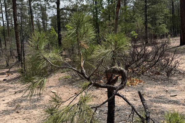
Bear Canyon - FS 131
Forest Road 131 (Bear Canyon) is a scenic, shortcut route connecting FS 300 Rim Road East and FS 130 Pinedale Rim. The trail meanders through towering ponderosa pines, mixed conifer forest, and quiet mountain meadows before descending into the peaceful Bear Canyon drainage. With its combination of b...
Learn more about Bear Canyon - FS 131
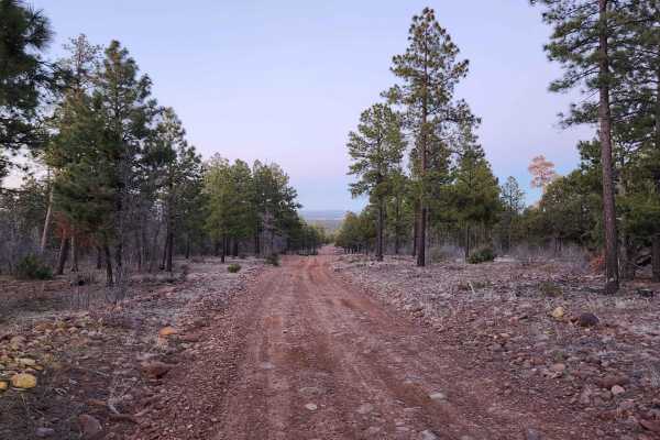
FR140
Use FR140 to cross between Joe Tank Road (FR136) and Rim Road (FR300)--it is a good access road to some great side trips for a day of exploring. Wild horses and bald eagles are present in the area. Bringing a motorhome or car back here for camping is not recommended, but it is a good area for overla...
Learn more about FR140
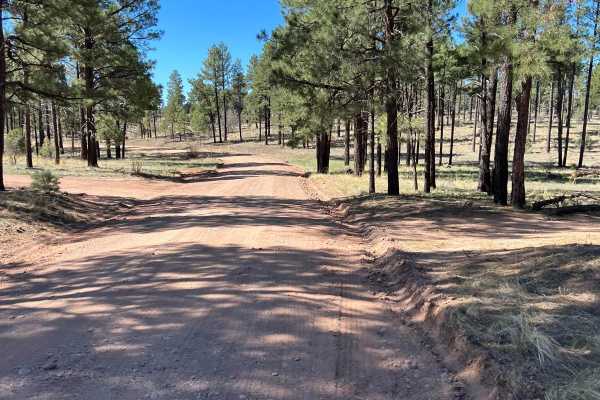
FS 139 Cottonwood Wash
This trail starts at Arizona Highway 260. There is a parking area and staging spot at the turnoff. This trail meanders toward the Mogollon Rim. The area was ravaged by the Rodeo-Chediski Fire in 2002 which burned 410,000 acres. It was the largest fire in Arizona until it was surpassed in 2011. The f...
Learn more about FS 139 Cottonwood Wash
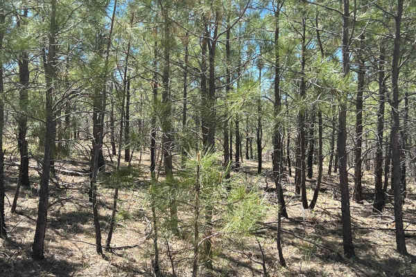
Young Pondo Pine Path
This route is heavily treed and lined with beautiful, young Ponderosa Pines. The area was ravaged by the Rodeo-Chemiski Fire in 2002 and the new trees are all about 20 years old. The route travels through very rocky, steep terrain. It is primarily small rocks traction can be difficult and erosion ca...
Learn more about Young Pondo Pine Path
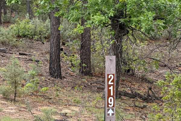
Water Canyon - FS 219
Forest Road 219, commonly known as Water Canyon, is a scenic backcountry route through the Apache-Sitgreaves National Forest near Pinedale, Arizona. This peaceful drive winds through towering ponderosa pines, mixed conifer forest, and open mountain meadows, offering a classic White Mountains experie...
Learn more about Water Canyon - FS 219
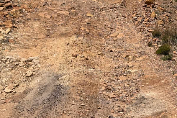
FS 141
FS 141 may be short, but it packs one of the most technical sections in the Pinedale area. This rocky spur climbs through the ponderosa pines with deep erosion ruts, exposed bedrock, and loose rock that require careful tire placement and a slow, controlled approach. While experienced drivers will en...
Learn more about FS 141
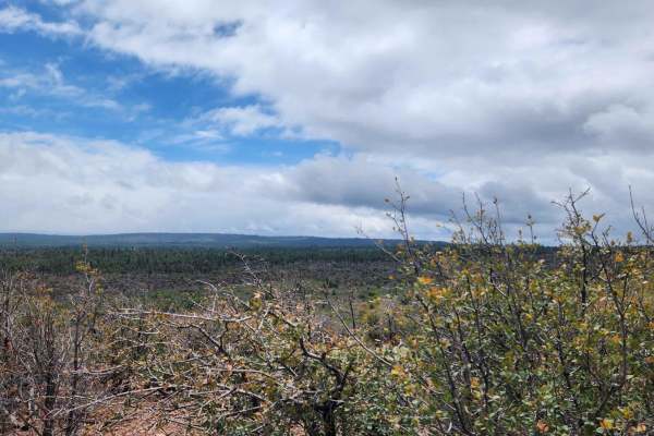
Joe Tank Ridge
Joe Tank Ridge is an out-and-back spur trail. A fun ride with some minor challenges and only accessible from Joe Tank Road, this road does not travel through into the community. It is blocked off. It would be great for hiking, mountain biking, or horseback riding. It is okay for a short wheeling tri...
Learn more about Joe Tank Ridge
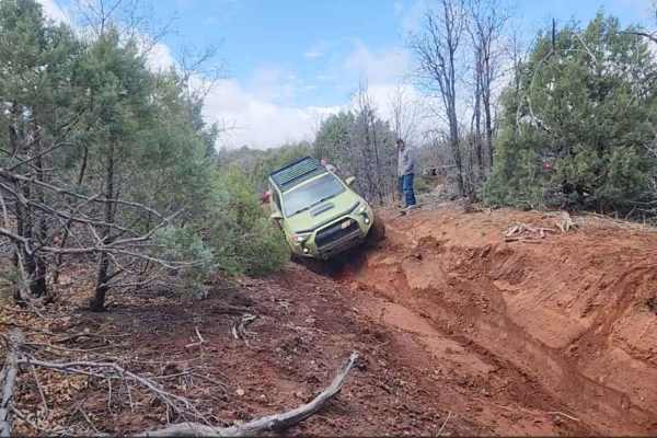
North Hog Wash 9600o
North Hog Wash is just over 3 miles long. It starts on 9600o and finishes on 9802a. This trail is 2-track all the way but has some seriously washed-out sections that make for some great off-camber, suspension-flexing fun. There are bypasses for these sections. During dry weather conditions, it is fu...
Learn more about North Hog Wash 9600o
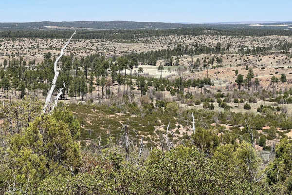
Fir Point View
This is an unmarked ATV/UTV, dirt bike only route due to the trees and bushes making it very narrow. Larger vehicles may be able to avoid some of the trees but some will prevent further travel and there are not many places to turn around. The route starts gradually climbing on both ends before a ste...
Learn more about Fir Point View
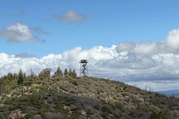
Juniper Ridge - FS 130
Forest Service Road 130 is an enjoyable, easy-to-moderate drive through the Apache-Sitgreaves National Forest that leads to the historic Juniper Ridge Fire Lookout. The route begins as FS 143 near Pinedale and winds through beautiful stands of ponderosa pine, mixed conifer forest, and open meadows b...
Learn more about Juniper Ridge - FS 130
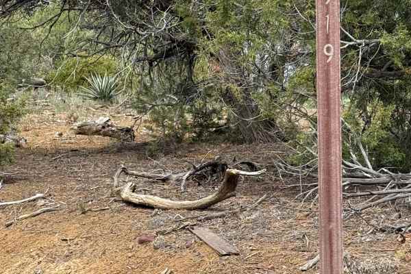
Hub Point - FS 919
This peaceful route is from the south end of Turkey Hill Road in Pinedale to Pinedale Ridge (FS 132). It travels through the pine forest and a few open areas where wild horses can be seen. With moisture, the trail becomes slick and can add some mud holes and ruts to navigate. It is a short but rewar...
Learn more about Hub Point - FS 919
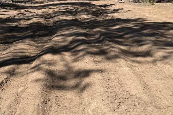
Pinedale Rim - FS 130
Connecting the historic mountain community of Pinedale with the Mogollon Rim, FS 130 climbs steadily through one of Arizona’s largest ponderosa pine forests. The route transitions from quiet forest roads to dramatic overlooks where the land drops thousands of feet into Arizona’s rugged Rim Country. ...
Learn more about Pinedale Rim - FS 130
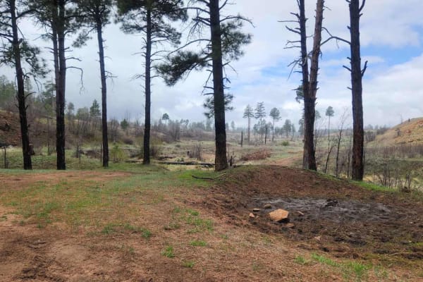
Morgan Tank
Morgan Tank is a fun side trip off of FR135--great for a slow ride through the forest. Keep your eyes open and you might see deer, elk, turkey, wild horses, squirrels, and birds of all kinds. Expect some awesome views of open prairie-type areas. It's great for mountain biking, wheeling, horseback ri...
Learn more about Morgan Tank
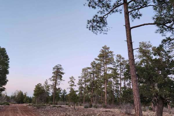
FR135
FR135 is another great connection between Rim Road (FR300) and Joe Tank Road (FR136). This has a greater change in elevation than FR140 and in the winter can become impassable due to snow and the grade combined. This trail has several really cool side trails and some spurs as well. It's great to exp...
Learn more about FR135
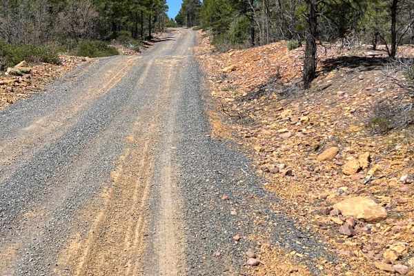
FS 107 Willow Wash
This trail follows FS 107 Willow Wash from Arizona Highway 260 to the Mogollon Rim Road. It is well-traveled but has a few rutted spots and some sandy areas. Watch for the wild horses along this trail. They are the Mogollon Rim wild horses that supposedly descended from the horses brought by the Spa...
Learn more about FS 107 Willow Wash
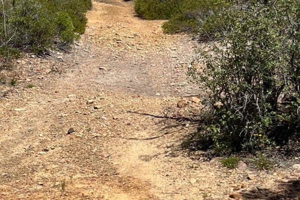
Telephone Ridge
This narrow, short trail is easily overlooked but is fun and challenging and offers spectacular views. It has some sandy off-camber action as well as some rocky hills. At the north end of the route, the most difficult area has over three-foot erosion ruts. A shortcut has been created to avoid that a...
Learn more about Telephone Ridge
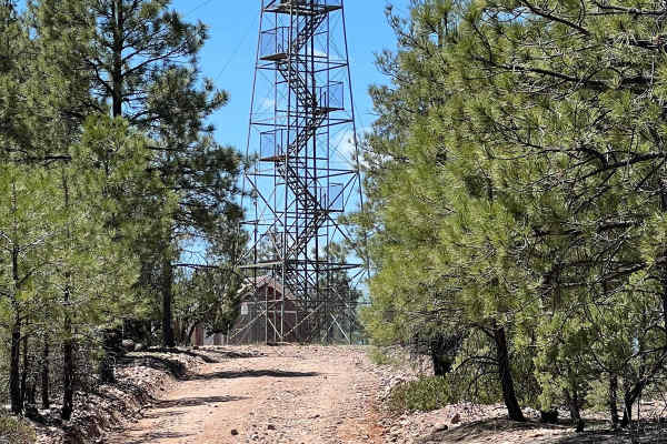
FS 161 West Fork
This beautiful, easy route connects FS 139 Cottonwood Wash with the East Mogollon Rim Road. The decommissioned Deer Springs Fire Lookout rises stoically above the far western side of this route overlooking the Mogollon Rim. This historic forest fire lookout was built in 1923 and listed on the Nation...
Learn more about FS 161 West Fork
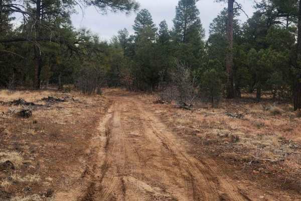
Joe Tank Road (FR136)
Joe Tank is a good access road to places to hike, bike, horseback ride, 4-wheel, and camp, and includes many side trails. Many of them are spur trails created for hiking and biking. Some of the hiking, biking, and horseback trails share 2-track roads, so be cautious of hikers, bikers, and horseback ...
Learn more about Joe Tank Road (FR136)
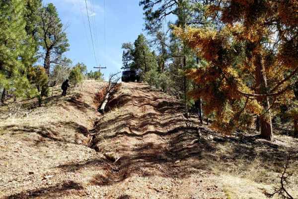
Butler Point
Butler Point is a great trail to access many forest roads within the Apache Sitgreaves Forest. At the beginning, it is a 2WD road accessible to many vehicles. When you turn right and it starts heading west, it becomes a bit more technical in a few spots, and high-clearance 4WD is highly recommended....
Learn more about Butler Point
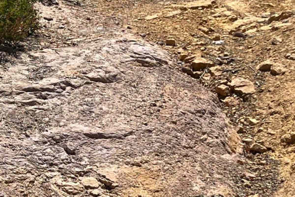
Straight Ridge
This off-camber, challenging trail is narrow with deep ruts and drainage drop-offs in spots. It travels through grassy, open wild horse territory and through some eroded washes. Ponderosa Pines line the route along with skunkbush sumac, chokecherry, and red osier dogwood. This route is seasonally cl...
Learn more about Straight Ridge
ATV trails near Carrizo, Arizona
Explore ATV-friendly trails near you. These trails are accessible for vehicles up to 50 inches wide, perfect for ATVs and smaller off-road machines.
Bear Canyon - FS 131
Forest Road 131 (Bear Canyon) is a scenic, shortcut route connecting FS 300 Rim Road East and FS 130 Pinedale Rim. The trail meanders through towering ponderosa pines, mixed conifer forest, and quiet mountain meadows before descending into the peaceful Bear Canyon drainage. With its combination of b...
Learn more about Bear Canyon - FS 131
FR140
Use FR140 to cross between Joe Tank Road (FR136) and Rim Road (FR300)--it is a good access road to some great side trips for a day of exploring. Wild horses and bald eagles are present in the area. Bringing a motorhome or car back here for camping is not recommended, but it is a good area for overla...
Learn more about FR140
FS 139 Cottonwood Wash
This trail starts at Arizona Highway 260. There is a parking area and staging spot at the turnoff. This trail meanders toward the Mogollon Rim. The area was ravaged by the Rodeo-Chediski Fire in 2002 which burned 410,000 acres. It was the largest fire in Arizona until it was surpassed in 2011. The f...
Learn more about FS 139 Cottonwood Wash
Young Pondo Pine Path
This route is heavily treed and lined with beautiful, young Ponderosa Pines. The area was ravaged by the Rodeo-Chemiski Fire in 2002 and the new trees are all about 20 years old. The route travels through very rocky, steep terrain. It is primarily small rocks traction can be difficult and erosion ca...
Learn more about Young Pondo Pine Path
UTV/side-by-side trails near Carrizo, Arizona
Find UTV and side-by-side trails near you. These trails accommodate vehicles up to 60 inches wide, ideal for UTVs, side-by-sides, and wider off-road rigs.
Bear Canyon - FS 131
Forest Road 131 (Bear Canyon) is a scenic, shortcut route connecting FS 300 Rim Road East and FS 130 Pinedale Rim. The trail meanders through towering ponderosa pines, mixed conifer forest, and quiet mountain meadows before descending into the peaceful Bear Canyon drainage. With its combination of b...
Learn more about Bear Canyon - FS 131
FR140
Use FR140 to cross between Joe Tank Road (FR136) and Rim Road (FR300)--it is a good access road to some great side trips for a day of exploring. Wild horses and bald eagles are present in the area. Bringing a motorhome or car back here for camping is not recommended, but it is a good area for overla...
Learn more about FR140
FS 139 Cottonwood Wash
This trail starts at Arizona Highway 260. There is a parking area and staging spot at the turnoff. This trail meanders toward the Mogollon Rim. The area was ravaged by the Rodeo-Chediski Fire in 2002 which burned 410,000 acres. It was the largest fire in Arizona until it was surpassed in 2011. The f...
Learn more about FS 139 Cottonwood Wash
Young Pondo Pine Path
This route is heavily treed and lined with beautiful, young Ponderosa Pines. The area was ravaged by the Rodeo-Chemiski Fire in 2002 and the new trees are all about 20 years old. The route travels through very rocky, steep terrain. It is primarily small rocks traction can be difficult and erosion ca...
Learn more about Young Pondo Pine Path
The onX Offroad Difference
onX Offroad combines trail photos, descriptions, difficulty ratings, width restrictions, seasonality, and more in a user-friendly interface. Available on all devices, with offline access and full compatibility with CarPlay and Android Auto. Discover what you're missing today!
Open Trail Map