
Dirt Bike Trails
Near Brandywine, West Virginia
Explore All Dirt Bike Trails Near Brandywine, West Virginia
Dirt Bike Trails Near Brandywine, West Virginia
Discover the best dirt bike trails near you. Browse trail maps, check difficulty ratings, and find your next adventure — whether you're looking for a quick ride or an all-day expedition.
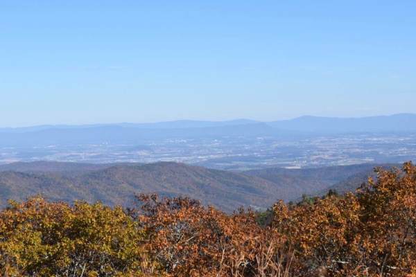
Bother Flagpole Knob Trail
Great views along the ridge off to the west. Rating 2 out of 10 is easily manageable with a high clearance 4x4 (examples: Colorado ATX, Trailboss, Rubicon). Some rough terrain, but nothing you can’t manage with a lifted 4x4 jeep or truck. This is a narrow trail that would require coordination to pas...
Learn more about Bother Flagpole Knob Trail
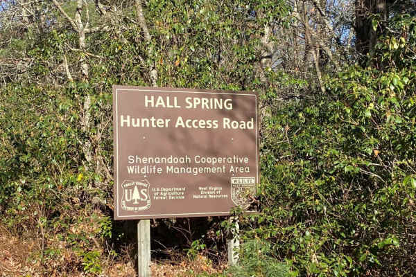
FSR #85-2 Hall Spring Road
This route will take you along the side of the mountain with beautiful views of Appalachia. This trail feels like an East Coast shelf road since it is mainly single track with only a few places to pass oncoming vehicles. This road follows the WV-VA border and is only accessible 10/01-01/15.
Learn more about FSR #85-2 Hall Spring Road
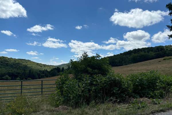
Spruce Mountain Trail
A dirt road with many beautiful views of the mountains, grassy fields, and wildlife while you climb the mountain on such a beautiful road. This road leads you to the Spruce Knob. On the way up this trail, you will come across many side trails that look like something that could be fun to explore. Th...
Learn more about Spruce Mountain Trail
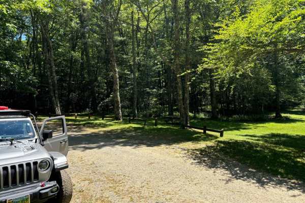
Locust Spring
This route is a dirt road that has very small potholes. At the end of the trail, you will find an area where you can get out of your vehicle and hang out. You will come across a beautiful area to have a picnic and enjoy time with your family. It also has an outdoor bathroom for one person and picnic...
Learn more about Locust Spring
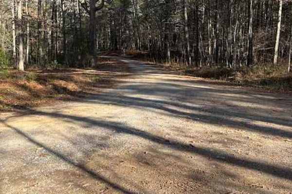
Cold Springs - FR 77
This trail is in the beautiful George Washington National Forest trail in Deerfield, Virginia connecting Old Parkersburg Turnpike and Hite Hollow Road. This trail has quite a few camping areas, some able to accommodate multiple vehicles. It is a gravel road the entire way through. There is no water ...
Learn more about Cold Springs - FR 77
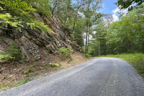
Chrisman Hollow - FS 274
The Chrisman Hollow Trail, also known as FS 274, connects US 211 at the south end and State Road 674 at the north end of the trail. It takes you to several trailheads, including the Lion's Tale Trail, which offers an ADA-accessible, half-mile trail along the Passage Creek. There are several primitiv...
Learn more about Chrisman Hollow - FS 274
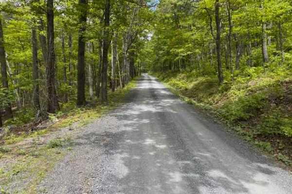
Devils Hole Road
Devils Hole Road, or RT 691 Gravel Road, is an adventure weaving through the heart of the George Washington National Forest. Rocky in sections, with winding forest roads, leads to breathtaking mountain overlooks. Surrounded by towering hardwoods and remote wilderness, the trail delivers a perfect mi...
Learn more about Devils Hole Road
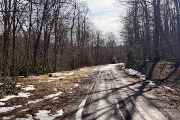
McGowen Mountain
This out-and-back trail is mostly gravel with some dirt mixed in at times. With the recent snow and ice was a beautiful drive. There are good views of the surrounding mountains and the windmills. Very relaxed ride which works well for those who want to take it easy, enjoy the view, and hit the hikin...
Learn more about McGowen Mountain
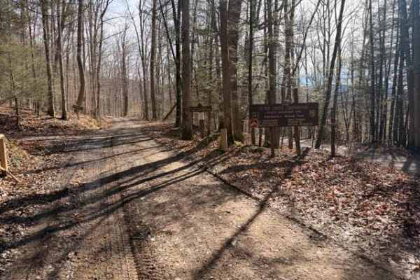
Sugar Camp
A dirt/gravel track with mild elevation gain, no real obstacles. Pay attention to logging, private property signs, etc. With the recent snow and rain, there was a decent amount of mud. This is a good trail for anyone testing out the River Road trail and wanting to mix it up. Additionally, it leads t...
Learn more about Sugar Camp
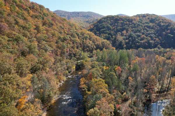
Parsons to Stone Lake Run
Parsons to Stone Lake Run is an easy, scenic gravel route ideal for beginners, overland travelers, and scenic drivers looking to experience the lush forests and river valleys of West Virginia. Spanning approximately 4.3 miles, this trail runs from the town of Parsons toward Stone Lake Run, ultimatel...
Learn more about Parsons to Stone Lake Run
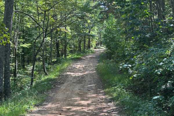
Taskers Entrance
This is the entrance road to the Taskers Gap OHV area. There are areas to park a trailer, as well as a few camp spots in the area as well. The road consists of small rocks, loose dirt and gravel, ruts, and steep inclines. Taskers Gap can be ridden with SxS, ATV, and dirt/adventure bikes, with high-c...
Learn more about Taskers Entrance
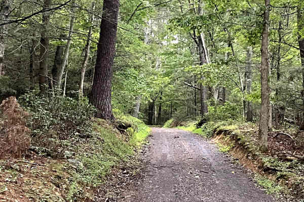
Belle Valley
Belle Valley Trail either begins or ends with a unique river-fording opportunity that adds an exciting element to the route. Recent rainfall can significantly change the river's depth and flow, so conditions should be assessed before attempting the crossing. Current reports indicate an average depth...
Learn more about Belle Valley
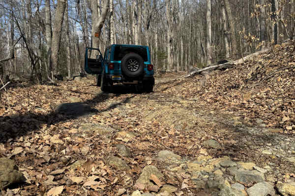
Browns Gap Turnpike
Browns Gap Turnpike, also known as Route 629, is a dead‑end route that terminates at Shenandoah National Park. The route begins as a maintained gravel driveway for roughly the first 10 percent of the trail, with difficulty increasing to about 2/10 due to washouts and channels approximately 6 inches ...
Learn more about Browns Gap Turnpike
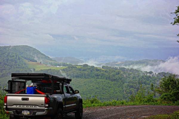
Close Mountain Road
This is the perfect spot to flex your 4 Low. This is a LONG and windy ascent to the top of the mountain. It's a substantially long elevation gain for East Coast travel if you count the hard top to the windmills. This route is mostly gravel with steep climbs and some sharp turns. It's buried amon...
Learn more about Close Mountain Road
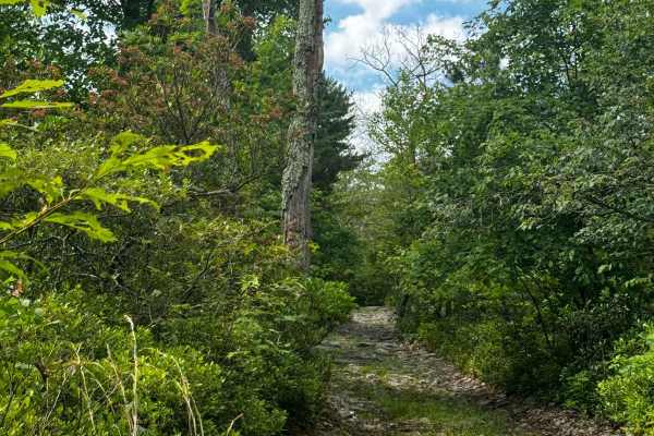
Walters Gap
This is one of the 4 trails that is accessible by full-sized rigs within the Peters Mill OHV area. The trail is about a mile long and consists of a few hill climbs and a few very long rock gardens ranging in size from a few inches to no taller than a foot. One offshoot/optional obstacle does occur o...
Learn more about Walters Gap
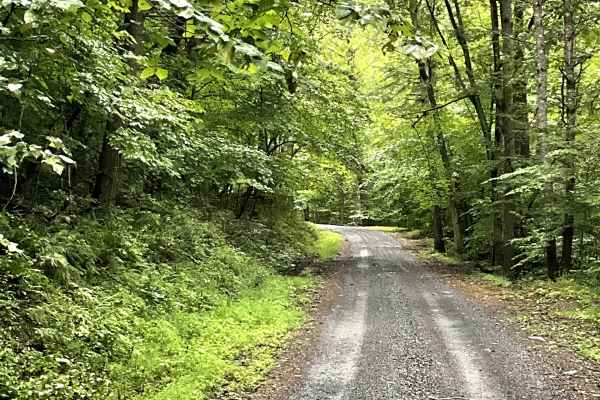
The Knob Road
The Knob Trail Road is a well-maintained county road that provides users with another enjoyable option for unpaved travel. The route passes through beautiful countryside and offers scenic views of the surrounding Jack Mountains.
The well-maintained surface makes this an easy and pleasant route for u...
Learn more about The Knob Road
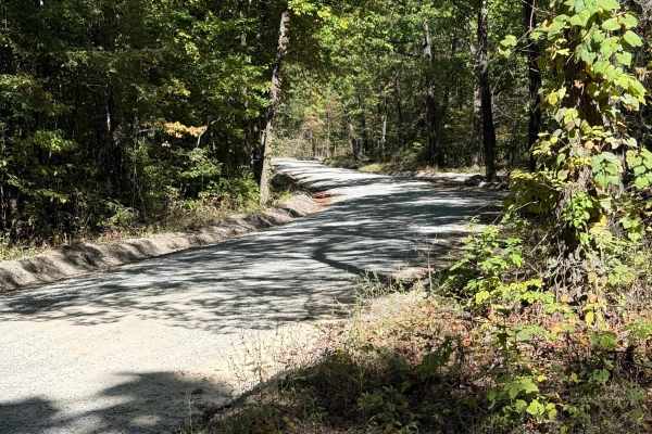
Tuckaho
Tuckaho Road is a short, 0.9-mile gravel road managed by the U.S. Forest Service within George Washington National Forest. The surface is smooth and well-maintained, suitable for full-width 4×4 vehicles, high-clearance rigs, SxS, ATVs, dirt bikes, and even non-4x4 vehicles. There are no major obstac...
Learn more about Tuckaho
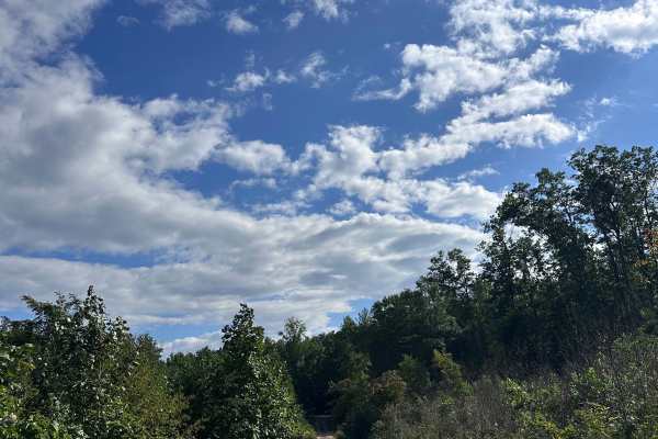
Limekiln
Limekiln Road offers an easy scenic forest drive through the George Washington National Forest in Bath County, Virginia. Ideal for stock 4x4s, high-clearance trucks, and SUVs, this unpaved route winds for approximately 10.4 miles through the quiet Dry Run drainage. It traverses the scenic slopes of ...
Learn more about Limekiln
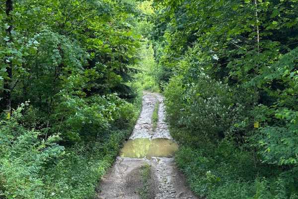
Long Run
This trail can be run in either direction, but this description starts from the north end at the following coordinates: 38.91771, -80.08878. There’s Civil War battle history regarding the bridge that crossed the Middle Fork River in 1861. Please note that this track combines several country roads ad...
Learn more about Long Run
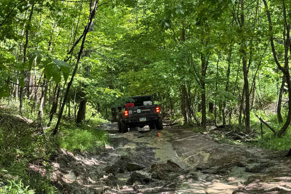
2105 Blue
Trail 2105 is a blue trail located within the Potomac River Riding Area of Wolf Den Run State Park. The Potomac River is the southernmost of the three riding areas at Wolf Den Run. Potomac River has a good mix of green and blue, and black trails. It also has a slag pile playground. There are also a ...
Learn more about 2105 Blue
ATV trails near Brandywine, West Virginia
Explore ATV-friendly trails near you. These trails are accessible for vehicles up to 50 inches wide, perfect for ATVs and smaller off-road machines.
Bother Flagpole Knob Trail
Great views along the ridge off to the west. Rating 2 out of 10 is easily manageable with a high clearance 4x4 (examples: Colorado ATX, Trailboss, Rubicon). Some rough terrain, but nothing you can’t manage with a lifted 4x4 jeep or truck. This is a narrow trail that would require coordination to pas...
Learn more about Bother Flagpole Knob Trail
Spruce Mountain Trail
A dirt road with many beautiful views of the mountains, grassy fields, and wildlife while you climb the mountain on such a beautiful road. This road leads you to the Spruce Knob. On the way up this trail, you will come across many side trails that look like something that could be fun to explore. Th...
Learn more about Spruce Mountain Trail
Locust Spring
This route is a dirt road that has very small potholes. At the end of the trail, you will find an area where you can get out of your vehicle and hang out. You will come across a beautiful area to have a picnic and enjoy time with your family. It also has an outdoor bathroom for one person and picnic...
Learn more about Locust Spring
Devils Hole Road
Devils Hole Road, or RT 691 Gravel Road, is an adventure weaving through the heart of the George Washington National Forest. Rocky in sections, with winding forest roads, leads to breathtaking mountain overlooks. Surrounded by towering hardwoods and remote wilderness, the trail delivers a perfect mi...
Learn more about Devils Hole Road
UTV/side-by-side trails near Brandywine, West Virginia
Find UTV and side-by-side trails near you. These trails accommodate vehicles up to 60 inches wide, ideal for UTVs, side-by-sides, and wider off-road rigs.
Bother Flagpole Knob Trail
Great views along the ridge off to the west. Rating 2 out of 10 is easily manageable with a high clearance 4x4 (examples: Colorado ATX, Trailboss, Rubicon). Some rough terrain, but nothing you can’t manage with a lifted 4x4 jeep or truck. This is a narrow trail that would require coordination to pas...
Learn more about Bother Flagpole Knob Trail
FSR #85-2 Hall Spring Road
This route will take you along the side of the mountain with beautiful views of Appalachia. This trail feels like an East Coast shelf road since it is mainly single track with only a few places to pass oncoming vehicles. This road follows the WV-VA border and is only accessible 10/01-01/15.
Learn more about FSR #85-2 Hall Spring Road
Spruce Mountain Trail
A dirt road with many beautiful views of the mountains, grassy fields, and wildlife while you climb the mountain on such a beautiful road. This road leads you to the Spruce Knob. On the way up this trail, you will come across many side trails that look like something that could be fun to explore. Th...
Learn more about Spruce Mountain Trail
Locust Spring
This route is a dirt road that has very small potholes. At the end of the trail, you will find an area where you can get out of your vehicle and hang out. You will come across a beautiful area to have a picnic and enjoy time with your family. It also has an outdoor bathroom for one person and picnic...
Learn more about Locust Spring
The onX Offroad Difference
onX Offroad combines trail photos, descriptions, difficulty ratings, width restrictions, seasonality, and more in a user-friendly interface. Available on all devices, with offline access and full compatibility with CarPlay and Android Auto. Discover what you're missing today!
Open Trail Map