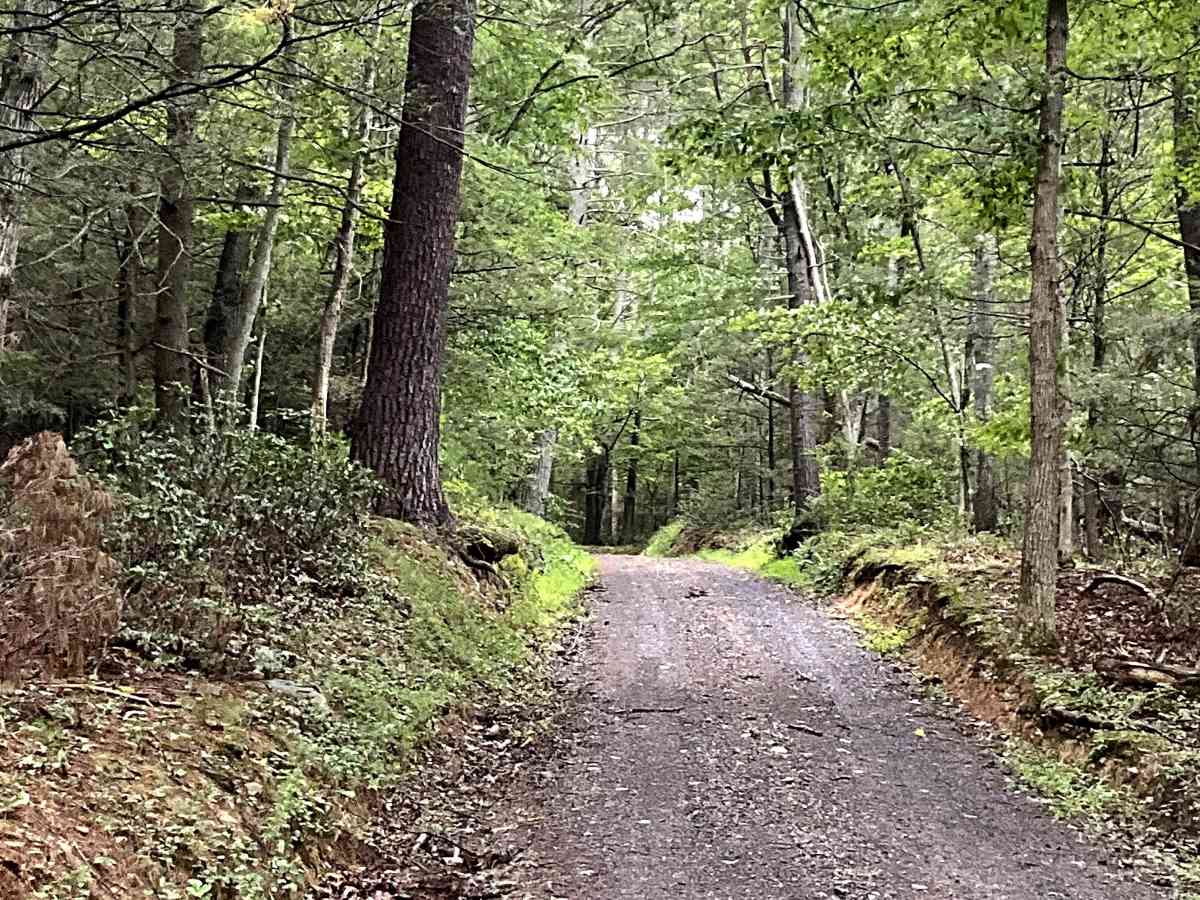
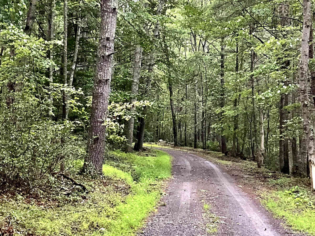
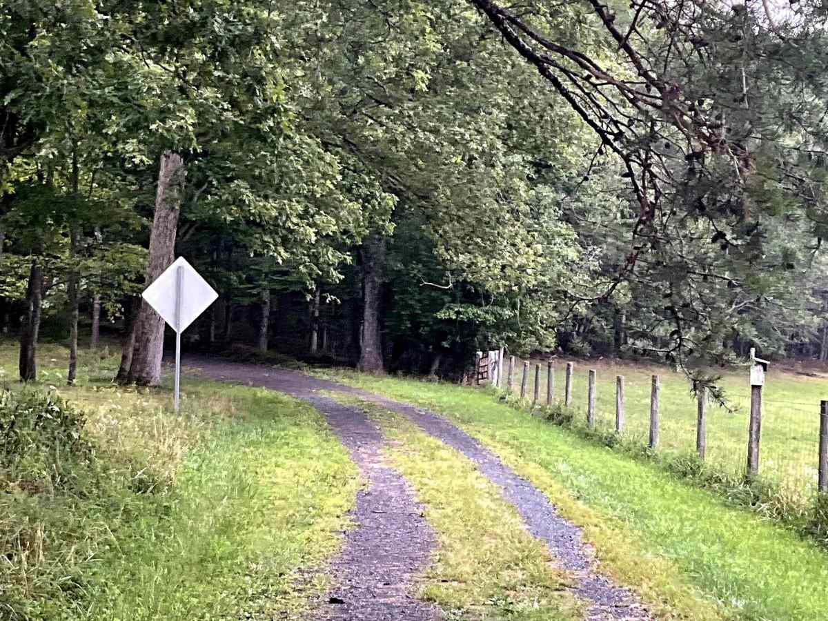
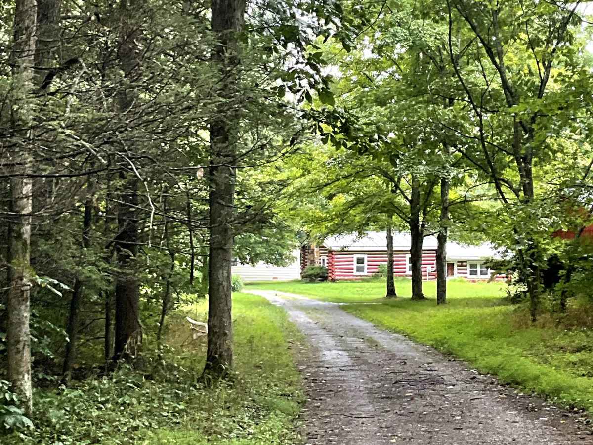
Trail Overview
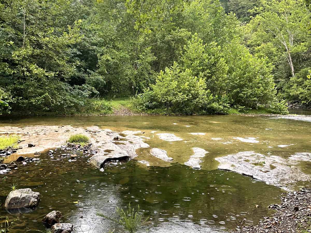
Belle Valley Trail either begins or ends with a unique river-fording opportunity that adds an exciting element to the route. Recent rainfall can significantly change the river's depth and flow, so conditions should be assessed before attempting the crossing. Current reports indicate an average depth of approximately 18–24 inches, with the deepest section located closest to State Route 600.
Due to the depth and changing conditions of the river crossing, this trail should be considered more difficult than a typical gravel route. The crossing may not be suitable for lower-clearance vehicles, and users should be prepared for changing water levels following rainfall.
Because of the river crossing and potential for deeper water, Belle Valley Trail is best suited for high-clearance 4WD vehicles. Users should exercise caution, check current conditions, and be prepared to turn around if the river is unsafe to cross.