
Dirt Bike Trails
Near Beaver, Oregon
Explore All Dirt Bike Trails Near Beaver, Oregon
Dirt Bike Trails Near Beaver, Oregon
Discover the best dirt bike trails near you. Browse trail maps, check difficulty ratings, and find your next adventure — whether you're looking for a quick ride or an all-day expedition.
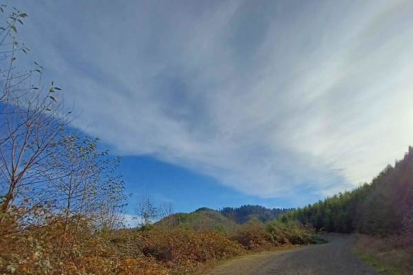
Foland Creek
Foland Creek road is an easy gravel road with sections that turn into a more natural surface. A couple of spots clear out for a pretty view of the valleys. The road runs through the Siuslaw National Forest, with a few sections of private property, so be mindful. There are a couple of small spots you...
Learn more about Foland Creek
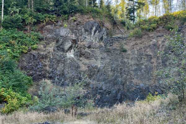
Wildcat Ridge
This route starts at the second fork off E. Beaver Creek Road and passes through an easement at the beginning. The road is well-travelled and maintained; watch for people speeding around corners. Approximately the first 4 miles are open to highway vehicles only – while the last mile is open to all v...
Learn more about Wildcat Ridge
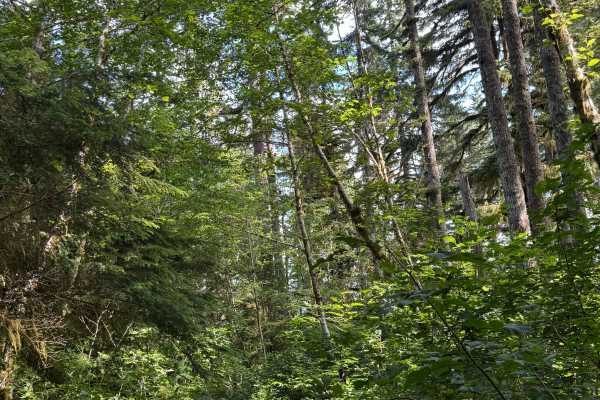
FS 8596-120
This is a dirt-based forest road that is extremely overgrown with vegetation and is narrow and one vehicle wide. The trail travels through dense forest and ends in a grassy campsite area that opens up a little. There are a couple of mud holes and some humps/whoops to navigate. This trail does not se...
Learn more about FS 8596-120
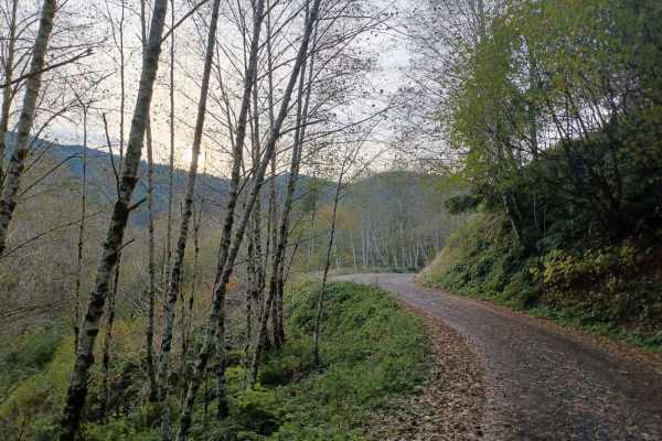
Cedar Creek
Cedar Creek is an easy gravel road with a couple of sections of washboard, and some parts with gradual inclines, but nothing technical. The road runs through Siuslaw National Forest. There are a few camp spots right off the road, but they are smaller, with only space for one car, and no cell phone s...
Learn more about Cedar Creek
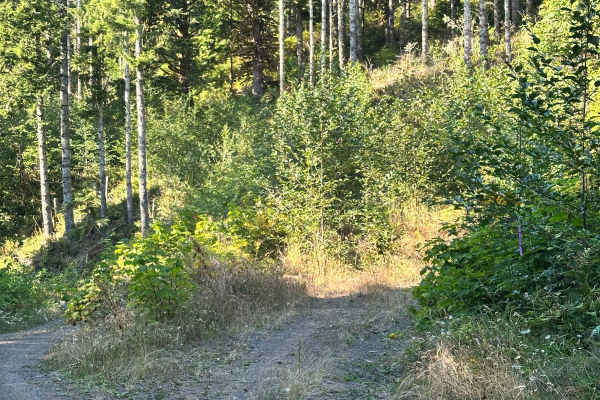
Coyote
Lush, tight, and moody even on a bright summer day. Coyote is clearly a low-trafficked trail that's not only open to all vehicles per the Forest Service map, but also a fun ride. We encountered a lot of wildlife, including deer and hawks. This is also likely the trail that loaded my rig up with spid...
Learn more about Coyote
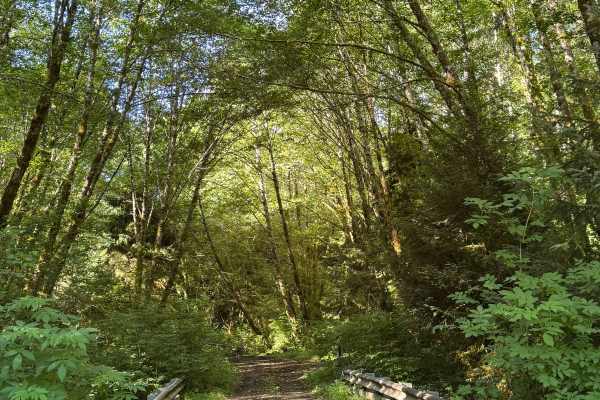
Round Top - FS 1024
This is a dirt-based trail in the National Forest that begins by crossing 3 bridges. The trail gradually climbs over 800 feet of elevation and ends where a split-off trail used to be before becoming overgrown. The trail is narrow and one lane wide, with two-track in most areas, and no room to pass ...
Learn more about Round Top - FS 1024
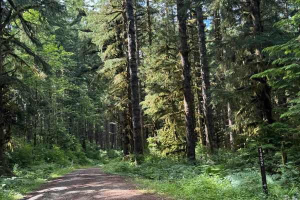
Cedar Lake - FS 1432
This is a gravel-based forest road in the National Forest that leads you past Cedar Lake. The trail is wide enough for two vehicles to pass and is relatively smooth. The trail has minor washboard and some minor potholes to avoid, and is suitable for any vehicle type. There are no amenities along thi...
Learn more about Cedar Lake - FS 1432
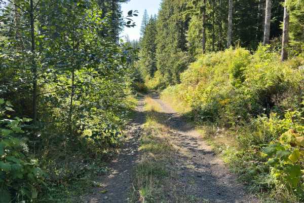
Foiled Road
Foiled Road is a deviation from how well-maintained and wide Wildcat Ridge is. This road is narrow, contains ruts approximately 10 - 15" deep, and will likely leave pin stripes in some spots. Further – plenty of logs sticking out waiting to slice a tire. Nonetheless, the trail is worth it for a grou...
Learn more about Foiled Road
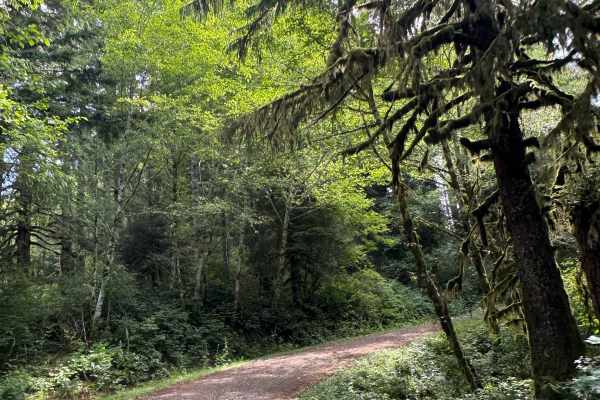
Cedar Hills - FS 1431
This is a gravel-based forest road in the National Forest. The trail winds and gradually climbs over 700 feet in elevation in 1.8 miles. The trail is through dense forest and has minor ruts and wash, as well as a few potholes to avoid, but it is relatively smooth with some washboard. This trail is s...
Learn more about Cedar Hills - FS 1431
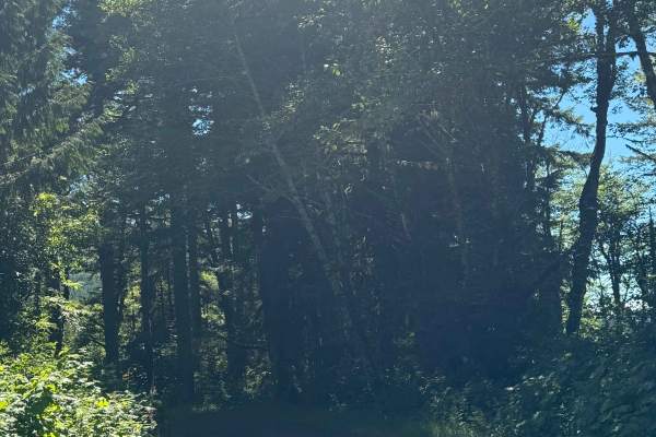
FS 1410
This is a gravel-based forest road in the National Forest. The trail gains 250 feet in elevation, then drops 400 feet. The trail is narrow and one vehicle wide with places to pass. There are sections of the trail that are two-track, with minor washboard along the way, and some humps/whoops you must ...
Learn more about FS 1410
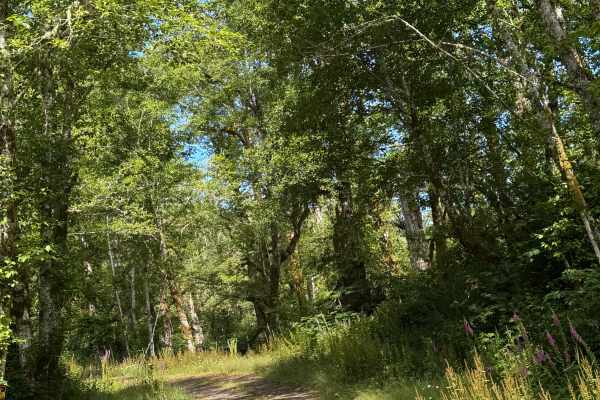
Cedar North - FS 1430
This is a gravel-based forest road that descends over 800 feet. The trail is narrow and vehicle-wide with room to pass, and has some sections where it is two-track. There is minor wash along the trail and lots of humps/whoops you must navigate, but overall this is an easy trail suitable for any vehi...
Learn more about Cedar North - FS 1430
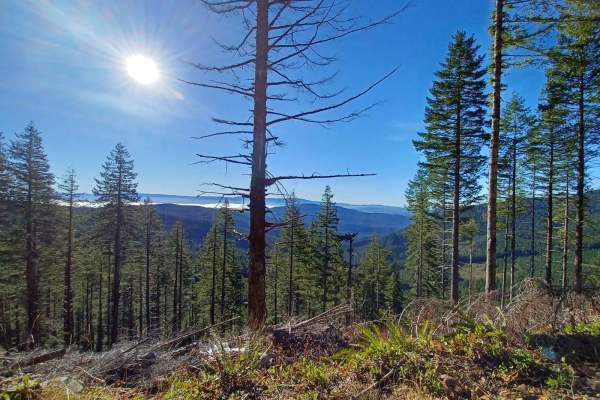
Mount Hebo
Mount Hebo Road offers an easy and scenic drive through the Siuslaw National Forest, making it perfect for beginners, families, and offroaders looking for a relaxed journey with sweeping forest views. Stretching approximately 16.4 miles, this gravel and natural mixed-surface route winds through dens...
Learn more about Mount Hebo
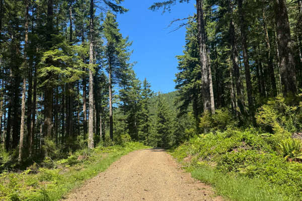
Lawrence Basin - FS 1424
This is a wide, gravel-based forest road that is relatively smooth. The trail has 1 major switchback and winds through the National Forest. The trail offers dense forest views and good views of the surrounding ridges. The trail dead ends into a flat, loop campsite at the end, and camping is allowed ...
Learn more about Lawrence Basin - FS 1424
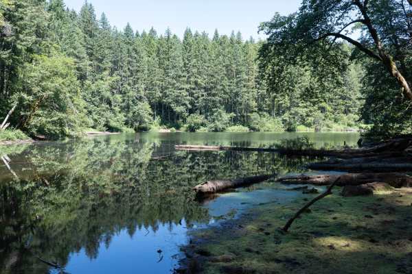
South Lake
This is a well-maintained gravel trail that accesses the South Lake Dispersed Camping Area and the lake. The trail travels through a tall pine forest with lush greenery, flowers, and berries. Designated numbered dispersed campsites with picnic tables and fire rings are available on a first-come, fir...
Learn more about South Lake
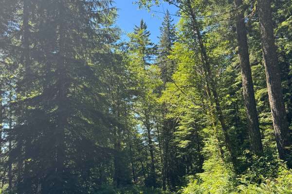
FS 2210-165
This is a narrow, one-vehicle-wide, dirt-based forest road that travels through dense coastal forest. Most of the trail is two-track, and you will encounter some overgrown vegetation. There are some places to pass, and you will come to a split in the trail. At the split, you go right, and the trail ...
Learn more about FS 2210-165
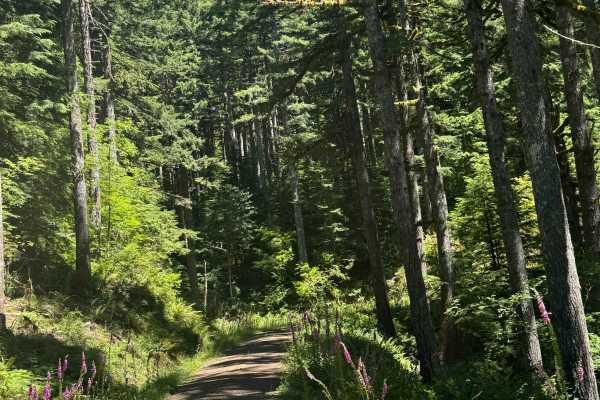
FS 2247
This is a dirt-based forest road that is narrow and one vehicle wide with places to pass. There is a small amount of gravel mixed into the trail, some potholes you will want to avoid, and minor ruts and washouts less than a foot deep. You will also encounter some very minor rock garden sections that...
Learn more about FS 2247
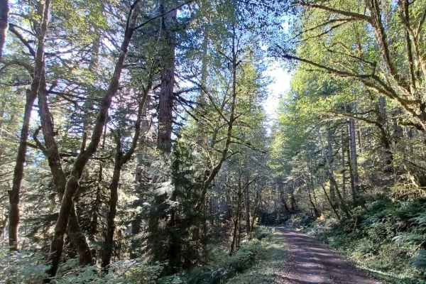
Square Top
Square Top Road runs through the Siuslaw National Forest. It is an easy one-lane gravel road with pullouts. Some sections of this road can get slippery when wet, and at one end of it, there is a spot that tends to be flooded when it rains or has snowmelt. If water is over the road, be careful when c...
Learn more about Square Top
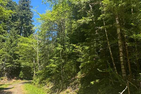
FS 2283-121
This is a dirt-based forest road through dense coastal forest. The trail runs along a ridge and provides views of the surrounding area, then descends nearly 500 feet in elevation into thick forest with overgrown vegetation, before ending at the Yamhill County Line. There are a couple muddy spots you...
Learn more about FS 2283-121
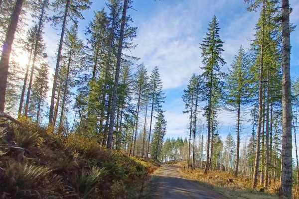
Grindstone View
Grindstone View road runs through the Tillamook State Forest and Siuslaw National Forest. It is an easy gravel road with sections that become more natural, some spots can be muddy when wet. There are some pretty views to enjoy on this route and a couple of good camp spots for a smaller group of vehi...
Learn more about Grindstone View
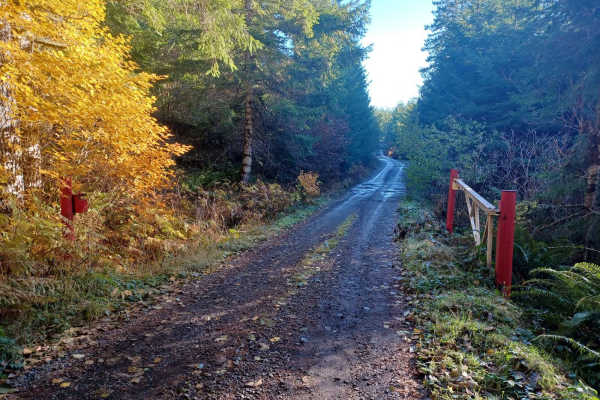
Crazy Lakes
Crazy Lakes is a scenic, point-to-point trail in the Siuslaw National Forest that is perfect for beginners and drivers with high-clearance four-wheel-drive vehicles seeking a peaceful, immersive forest drive. Stretching approximately 5.37 miles, this route climbs from an elevation of about 1,366 fee...
Learn more about Crazy Lakes
ATV trails near Beaver, Oregon
Explore ATV-friendly trails near you. These trails are accessible for vehicles up to 50 inches wide, perfect for ATVs and smaller off-road machines.
Foland Creek
Foland Creek road is an easy gravel road with sections that turn into a more natural surface. A couple of spots clear out for a pretty view of the valleys. The road runs through the Siuslaw National Forest, with a few sections of private property, so be mindful. There are a couple of small spots you...
Learn more about Foland Creek
FS 8596-120
This is a dirt-based forest road that is extremely overgrown with vegetation and is narrow and one vehicle wide. The trail travels through dense forest and ends in a grassy campsite area that opens up a little. There are a couple of mud holes and some humps/whoops to navigate. This trail does not se...
Learn more about FS 8596-120
Cedar Creek
Cedar Creek is an easy gravel road with a couple of sections of washboard, and some parts with gradual inclines, but nothing technical. The road runs through Siuslaw National Forest. There are a few camp spots right off the road, but they are smaller, with only space for one car, and no cell phone s...
Learn more about Cedar Creek
Coyote
Lush, tight, and moody even on a bright summer day. Coyote is clearly a low-trafficked trail that's not only open to all vehicles per the Forest Service map, but also a fun ride. We encountered a lot of wildlife, including deer and hawks. This is also likely the trail that loaded my rig up with spid...
Learn more about Coyote
UTV/side-by-side trails near Beaver, Oregon
Find UTV and side-by-side trails near you. These trails accommodate vehicles up to 60 inches wide, ideal for UTVs, side-by-sides, and wider off-road rigs.
Foland Creek
Foland Creek road is an easy gravel road with sections that turn into a more natural surface. A couple of spots clear out for a pretty view of the valleys. The road runs through the Siuslaw National Forest, with a few sections of private property, so be mindful. There are a couple of small spots you...
Learn more about Foland Creek
FS 8596-120
This is a dirt-based forest road that is extremely overgrown with vegetation and is narrow and one vehicle wide. The trail travels through dense forest and ends in a grassy campsite area that opens up a little. There are a couple of mud holes and some humps/whoops to navigate. This trail does not se...
Learn more about FS 8596-120
Cedar Creek
Cedar Creek is an easy gravel road with a couple of sections of washboard, and some parts with gradual inclines, but nothing technical. The road runs through Siuslaw National Forest. There are a few camp spots right off the road, but they are smaller, with only space for one car, and no cell phone s...
Learn more about Cedar Creek
Coyote
Lush, tight, and moody even on a bright summer day. Coyote is clearly a low-trafficked trail that's not only open to all vehicles per the Forest Service map, but also a fun ride. We encountered a lot of wildlife, including deer and hawks. This is also likely the trail that loaded my rig up with spid...
Learn more about Coyote
The onX Offroad Difference
onX Offroad combines trail photos, descriptions, difficulty ratings, width restrictions, seasonality, and more in a user-friendly interface. Available on all devices, with offline access and full compatibility with CarPlay and Android Auto. Discover what you're missing today!
Open Trail Map