
Dirt Bike Trails
Near Barbourville, Kentucky
Explore All Dirt Bike Trails Near Barbourville, Kentucky
Dirt Bike Trails Near Barbourville, Kentucky
Discover the best dirt bike trails near you. Browse trail maps, check difficulty ratings, and find your next adventure — whether you're looking for a quick ride or an all-day expedition.
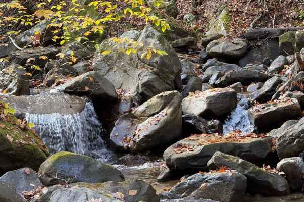
High Ridge Towers
This trail intersects with 16 Creeks trail and runs out a long stretch of high ridges with some excellent views of the surrounding area. The east side of the trail goes to several cell/radio towers that allow you to look over the town of Middlesboro and even see the tunnels at Cumberland Gap into Te...
Learn more about High Ridge Towers
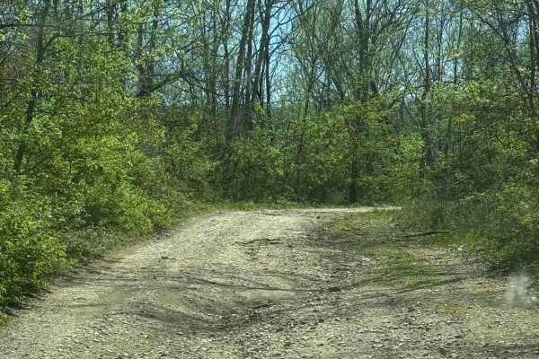
Mary's Wild Horse Trail
This is a gravel/dirt road uphill to a large open field with roads. The property includes open range horses and cattle, and there are lots of side trails to adventure onto. The trail can be reached off Highway 221 in Pineville, Kentucky. There's a railroad crossing as well as old gas wells on the pr...
Learn more about Mary's Wild Horse Trail
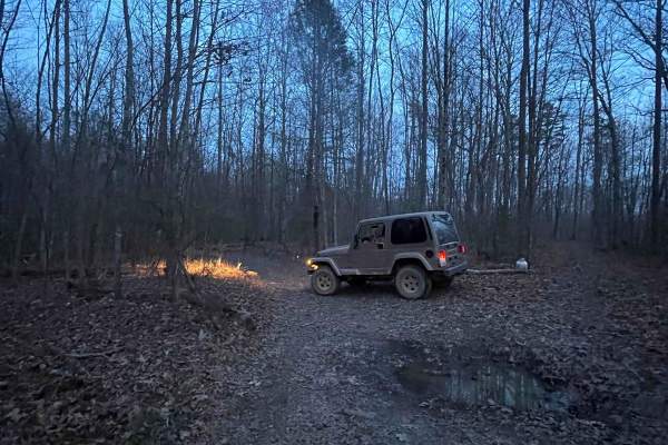
4005A
This trail is more like the old school Appalachian four wheeling trails than most Forest Service roads. There's no gravel, some tight cuts between trees, and a few mud holes. If you're trying to avoid scratches, then stay away--lots of low hanging limbs and branches. There are various offshoots that...
Learn more about 4005A
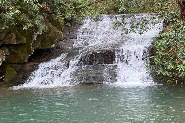
Sandlick Trail
The Sandlick Trail is an easy trail ride that navigates through thick Tennessee mountain laurel, crosses several small streams along the way, and has a beautiful waterfall called No Business. This trail is one of the biggest feeder trails in the Tackett Creek area, with several trails branching off ...
Learn more about Sandlick Trail
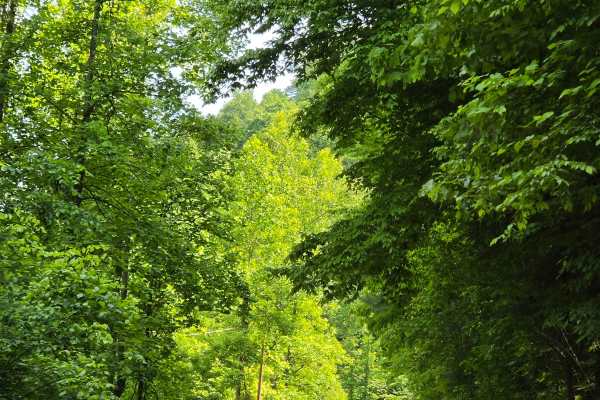
Stone Gap Road
Stone Gap Road is a graveled county road that runs through the Daniel Boone National Forest. There isn't anything on this route as far as obstacles. You will find shallow ruts and mud holes less than six inches deep. It follows along a dried-up creek bed that is fed when it rains.
Learn more about Stone Gap Road
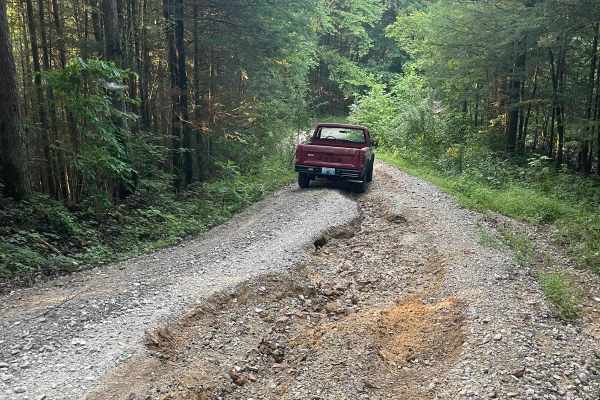
Bear Creek Falls (5138)
Access to a beautiful waterfall into the Rockcastle River. Characteristics of an old Forest Service Road. Large gravel, dirt, and shallow water crossings. Some washouts around one foot deep. Beautiful drive through a less-trafficked area of Daniel Boone National Forest. There is a possibility of dow...
Learn more about Bear Creek Falls (5138)
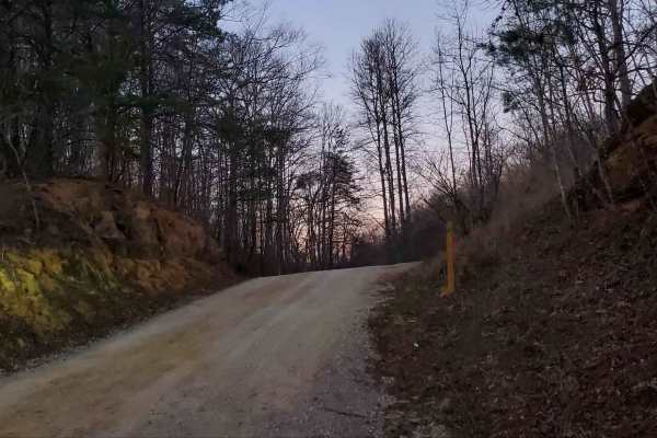
Wagoners Branch Road
This is a semi-maintained county road that takes you along a nice creek ride. In some areas, you may encounter natural and loose terrain. There is plenty of space to pass along this route as well. There are a couple of washouts that may require some extra caution when crossing. Very pretty ride
Learn more about Wagoners Branch Road
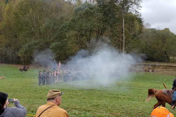
Rockcastle Exploring River Bypass
Rockcastle Exploring River Bypass is an easy, scenic gravel route ideal for beginners, families, and history buffs looking to explore the beautiful woodlands of Laurel County. Winding through the dense canopy of Kentucky’s mountainous terrain, this trail offers a relaxed driving experience accessibl...
Learn more about Rockcastle Exploring River Bypass
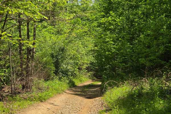
upper teges
This trail begins as a gravel county road that is fairly maintained. About halfway through it, it will suddenly change into natural terrain, offering steep climbs, Rock ledges, and deep ruts. The vegetation is overgrown, making for a tight trail. I would recommend no less than a 33-inch tire and 2 i...
Learn more about upper teges
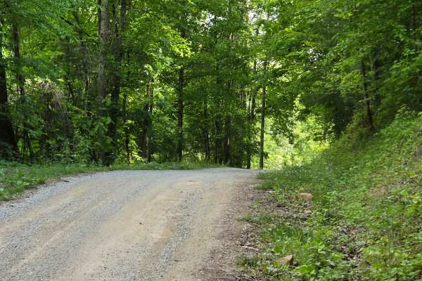
Newfound Road
Newfound Road is a nine-mile country gravel road that runs along the south fork of the Kentucky River. Most of the trail, you can find room for passing; however, there are some stretches that are very narrow, and passing is impossible. You won't find much more than shallow mud puddles along this tra...
Learn more about Newfound Road
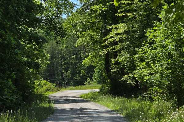
Cool Springs Road
Cool Springs Road is a gravel shelf road that is extremely narrow in spots. You can expect to encounter washouts and ruts along the way, but nothing that will cause many issues in navigation. You will also encounter steep inclines/declines with loose gravel. This is a pretty creek ride through the D...
Learn more about Cool Springs Road
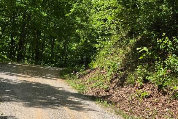
Felty Road
Felty Road is another shelf road with some narrow spots along the way. This was once used as a rail bed, but is now used as a county road that is made up of loose gravel and some dirt spots. You can expect washouts and steep ledges along your way, making passing impossible in areas.
Learn more about Felty Road
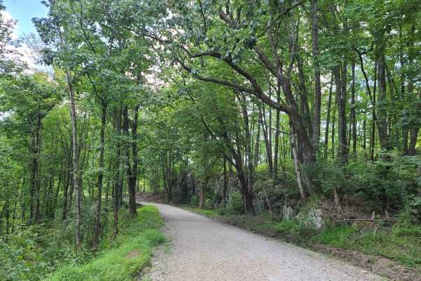
Elk Viewing Tower Road - Trail 25
This is a well-maintained gravel road that goes from Highway 25W to the elk viewing tower at Hatfield Knob. There are several viewing areas and lookouts on the way up as well, so keep an eye out for elk and deer. September is the best time to view elk, as they tend to gather into large herds during ...
Learn more about Elk Viewing Tower Road - Trail 25
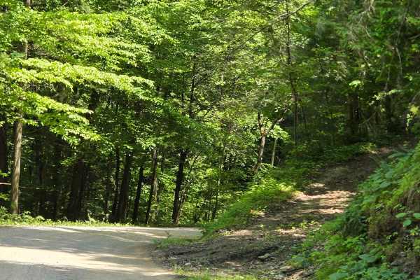
Saddler Road
Saddler Road is a forest service road that runs through the Daniel Boone National Forest. This track is narrow in most spots with steep drops off one side or the other, and tall rock walls along the other, making passing impossible. You can expect washouts and ruts along this track as well.
Learn more about Saddler Road
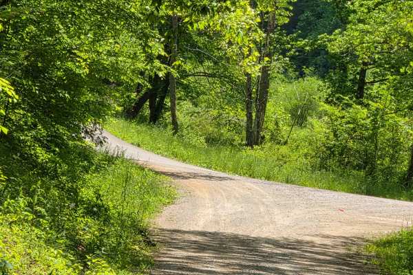
Slash Road
Slash road is a shelf road that follows along a pretty creek ride and is covered with a mature tree canopy. You can find multiple spots that allow for passing along this route. There isn't much to offer as obstacles on this road outside of a couple of shallow mudholes.
Learn more about Slash Road
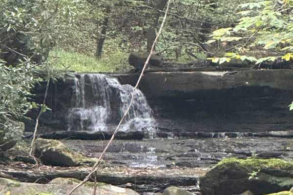
433
233 is a wonderful ride beneath the canopy of the forest twisting and turning through the streams and rocks. The locals call this trail Bad Creek but it is nothing of the sort. This is such a beautiful trail. It can be run in both directions making a loop. Access to Trail 233 is going to be via Trai...
Learn more about 433
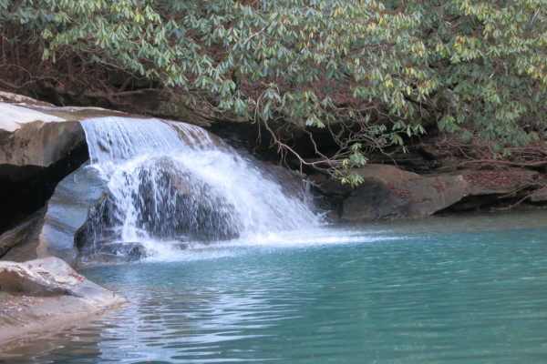
Trail 37 - Hickory Creek Trail
This trail is a wide rocky trail with small mud holes, transitioning to a single-track trail with longer mud holes, rocks, and water crossings near the end. At the end of the trail, you are rewarded with a waterfall and swimming hole. It draws a large crowd in the summer, so expect to get creative t...
Learn more about Trail 37 - Hickory Creek Trail
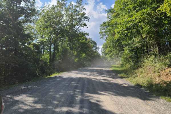
McCormick Cemetery Road - Trail 24
This trail is a maintained gravel road that connects several other popular trails. At one end it connects to Trail 19, and at the other end, it connects to Trail 25. Trail 37 is also accessible from this trail and is a popular waterfall destination. There is also a cemetery called McCormick Cemetery...
Learn more about McCormick Cemetery Road - Trail 24
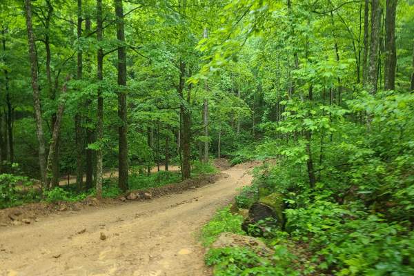
Ride Royal Blue Trail - Trail 27
This is a trail that connects the Ride Royal Blue Resort to the trails at Royal Blue. It starts off in the parking lot at Ride Royal Blue and goes up to Trail 19. The route is steep and winds its way up the ridges to the main trail system. It is slick and muddy with a few ledges and small obstacles.
Learn more about Ride Royal Blue Trail - Trail 27
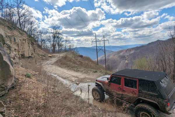
36
The majority of this trail is flat (the flattest in the park) with some shallow water/mud holes with solid bottoms. The terrain is small gravel-like rock mixed with softball-sized rocks. This drive is very picturesque, especially at the top, with a nice view from 2800 feet of elevation. You will fin...
Learn more about 36
ATV trails near Barbourville, Kentucky
Explore ATV-friendly trails near you. These trails are accessible for vehicles up to 50 inches wide, perfect for ATVs and smaller off-road machines.
High Ridge Towers
This trail intersects with 16 Creeks trail and runs out a long stretch of high ridges with some excellent views of the surrounding area. The east side of the trail goes to several cell/radio towers that allow you to look over the town of Middlesboro and even see the tunnels at Cumberland Gap into Te...
Learn more about High Ridge Towers
Mary's Wild Horse Trail
This is a gravel/dirt road uphill to a large open field with roads. The property includes open range horses and cattle, and there are lots of side trails to adventure onto. The trail can be reached off Highway 221 in Pineville, Kentucky. There's a railroad crossing as well as old gas wells on the pr...
Learn more about Mary's Wild Horse Trail
4005A
This trail is more like the old school Appalachian four wheeling trails than most Forest Service roads. There's no gravel, some tight cuts between trees, and a few mud holes. If you're trying to avoid scratches, then stay away--lots of low hanging limbs and branches. There are various offshoots that...
Learn more about 4005A
Sandlick Trail
The Sandlick Trail is an easy trail ride that navigates through thick Tennessee mountain laurel, crosses several small streams along the way, and has a beautiful waterfall called No Business. This trail is one of the biggest feeder trails in the Tackett Creek area, with several trails branching off ...
Learn more about Sandlick Trail
UTV/side-by-side trails near Barbourville, Kentucky
Find UTV and side-by-side trails near you. These trails accommodate vehicles up to 60 inches wide, ideal for UTVs, side-by-sides, and wider off-road rigs.
High Ridge Towers
This trail intersects with 16 Creeks trail and runs out a long stretch of high ridges with some excellent views of the surrounding area. The east side of the trail goes to several cell/radio towers that allow you to look over the town of Middlesboro and even see the tunnels at Cumberland Gap into Te...
Learn more about High Ridge Towers
Mary's Wild Horse Trail
This is a gravel/dirt road uphill to a large open field with roads. The property includes open range horses and cattle, and there are lots of side trails to adventure onto. The trail can be reached off Highway 221 in Pineville, Kentucky. There's a railroad crossing as well as old gas wells on the pr...
Learn more about Mary's Wild Horse Trail
4005A
This trail is more like the old school Appalachian four wheeling trails than most Forest Service roads. There's no gravel, some tight cuts between trees, and a few mud holes. If you're trying to avoid scratches, then stay away--lots of low hanging limbs and branches. There are various offshoots that...
Learn more about 4005A
Sandlick Trail
The Sandlick Trail is an easy trail ride that navigates through thick Tennessee mountain laurel, crosses several small streams along the way, and has a beautiful waterfall called No Business. This trail is one of the biggest feeder trails in the Tackett Creek area, with several trails branching off ...
Learn more about Sandlick Trail
The onX Offroad Difference
onX Offroad combines trail photos, descriptions, difficulty ratings, width restrictions, seasonality, and more in a user-friendly interface. Available on all devices, with offline access and full compatibility with CarPlay and Android Auto. Discover what you're missing today!
Open Trail Map