upper teges

Total Miles3.1
Technical Rating
6Moderate
Best TimeSummer, Spring, Fall, Winter
Trail TypeHigh-Clearance 4x4 Trail
Accessible By
Open Trail Map

Trail Overview

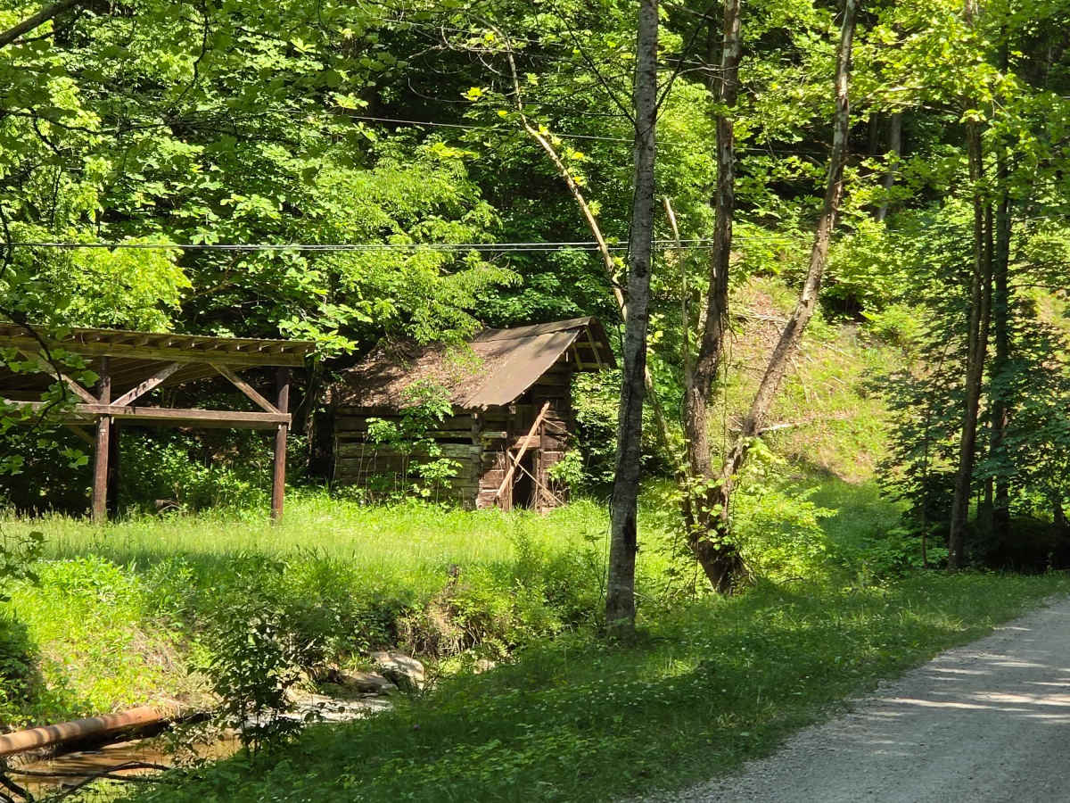
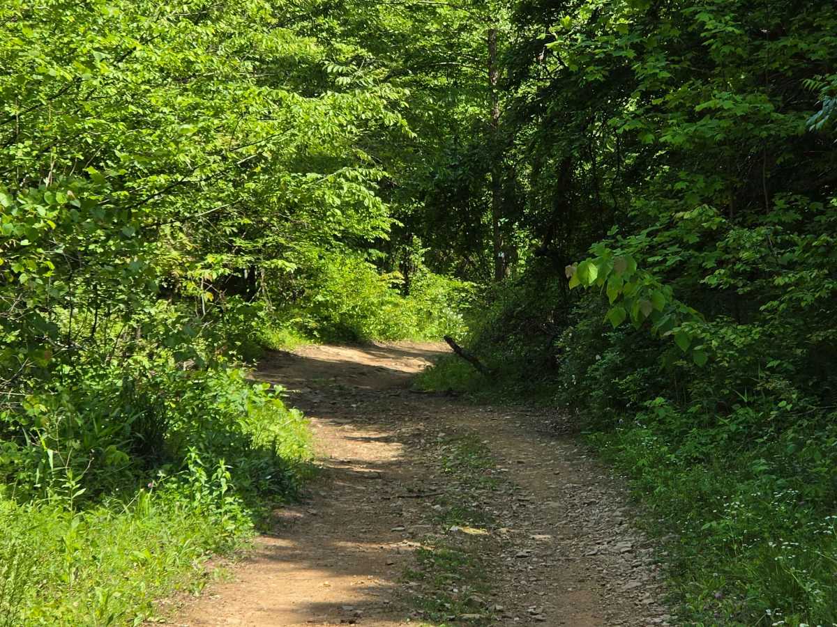
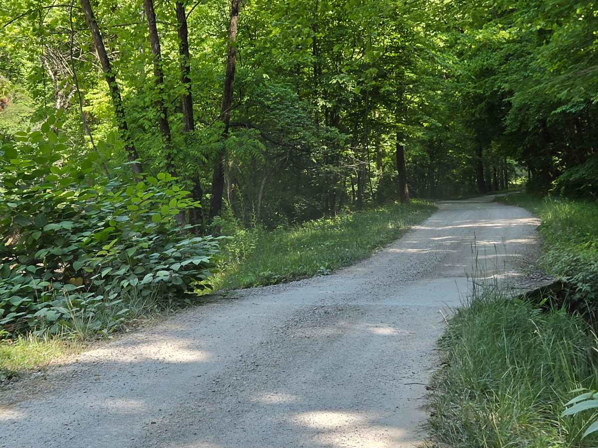
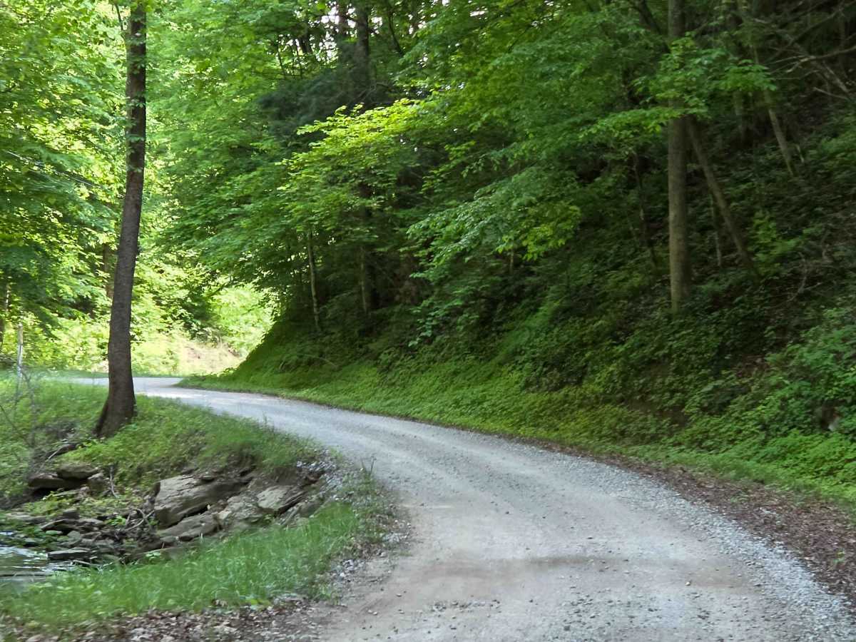
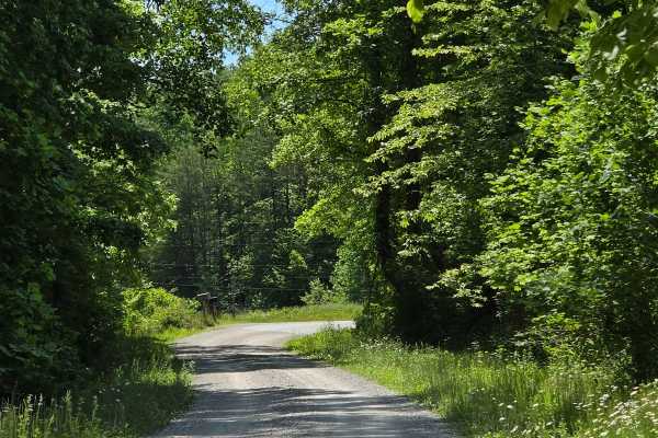
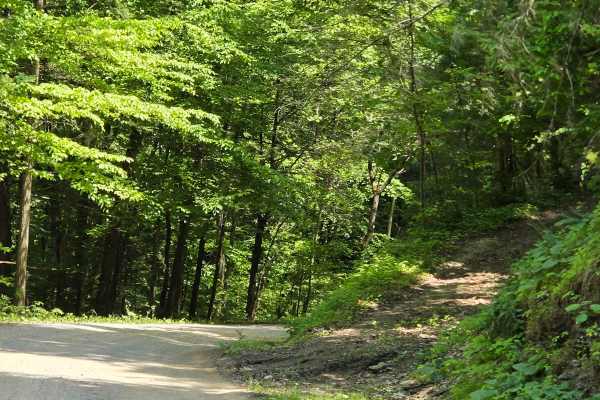
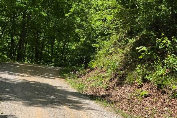
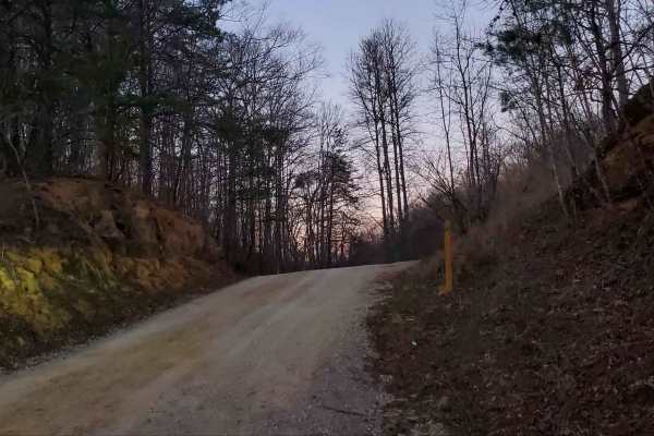
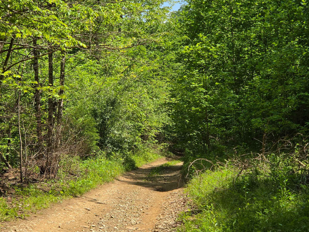
This trail begins as a gravel county road that is fairly maintained. About halfway through it, it will suddenly change into natural terrain, offering steep climbs, Rock ledges, and deep ruts. The vegetation is overgrown, making for a tight trail. I would recommend no less than a 33-inch tire and 2 inches of lift. Lockers are helpful, and winches are recommended just in case.

Photos of upper teges

Difficulty

larger rocks, off camber, deep ruts, narrow passages

Technical Rating

6

Status Reports

Add Status Report
Terry Spurlock
Jul 24, 2026
2023 Jeep Gladiator
Open
Muddy/Wet
Went in from sextons creek side. Gravel section was well maintained but as you see in the map once the first switch back curve the terrain becomes a challenge. Wouldn’t recommend going alone and without any recovery gear. But super fun and challenging trail. Just about 10% of the trail was a challenge to remaining was super easy.

upper teges Trail can be accessed by the following ride types:

  • Single Track
  • 50 Inch
  • 60 Inch
  • High Clearance

upper teges Map

The onX Offroad Difference

onX Offroad combines trail photos, descriptions, difficulty ratings, width restrictions, seasonality, and more in a user-friendly interface. Available on all devices, with offline access and full compatibility with CarPlay and Android Auto. Discover what you're missing today!

Open Trail Map