
Dirt Bike Trails
Near Alta Sierra, California
Explore All Dirt Bike Trails Near Alta Sierra, California
Dirt Bike Trails Near Alta Sierra, California
Discover the best dirt bike trails near you. Browse trail maps, check difficulty ratings, and find your next adventure — whether you're looking for a quick ride or an all-day expedition.
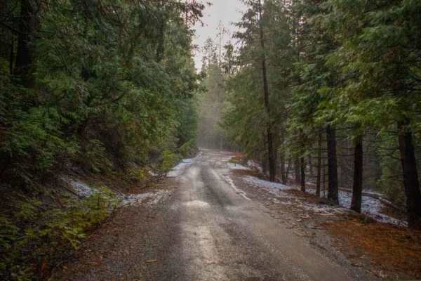
Elliot Ranch Road
Elliot Ranch Road in Foresthill, California, is a rugged, unpaved route in the Tahoe National Forest, offering access to various recreational activities. It serves as the starting point for challenging trails like the Green Valley Trail, which descends steeply to the North Fork of the American River...
Learn more about Elliot Ranch Road
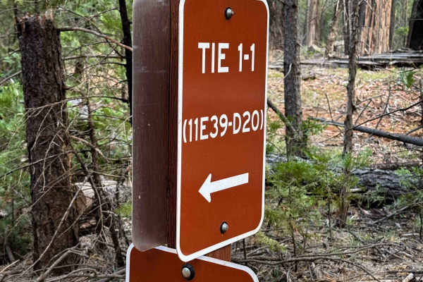
Tie 1-1
Tie 1-1 is a short 0.6 mile long ATV connector that links sections of Loop 1 and cuts off about a mile from the northwest corner of Loop 1. The route is straightforward and very easy, with mostly smooth ground and only a little bit of loose rock and sticks scattered along the way. The trail is gradu...
Learn more about Tie 1-1
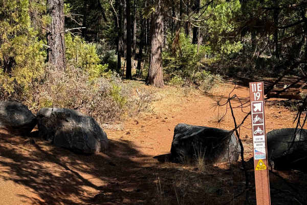
11E19
11E19 is a 0.7-mile-long ATV trail with a red dirt surface winding through a forest of sugar pines. The route is wide and mostly gradual, with only a couple of very small rolling hills. It includes a straight section along with a few twisting turns through the trees. The trail is obstacle-free aside...
Learn more about 11E19
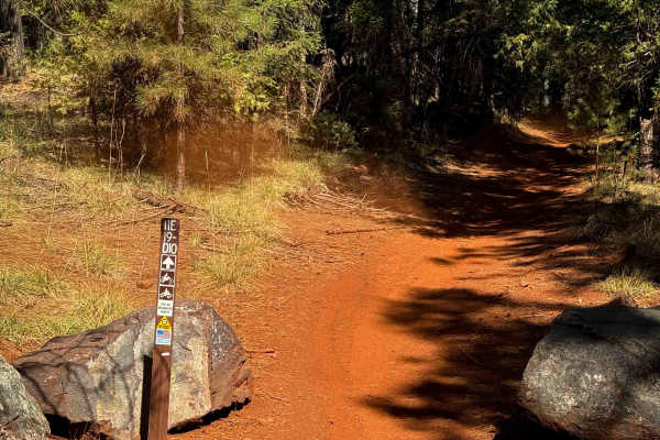
11E19-D10
11E19-D10 is an easy ATV spur trail measuring just under half a mile long, often ridden together with 11E19 and D20 near Brimstone Campground. The trail allows two-way traffic with decent visibility, and it is covered in smooth red dirt with no real obstacles. It runs gradually overall, with only on...
Learn more about 11E19-D10
11E19–D20
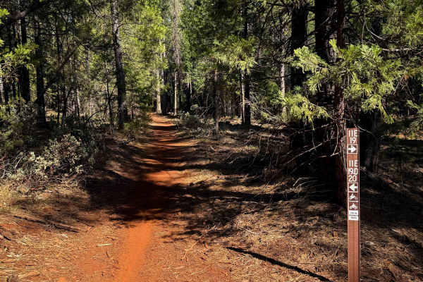
11E19–D20 is a 0.9-mile-long, easy ATV trail that runs mostly gradual with a few hairpin turns. The route passes through a mix of environments, with some sections more lush and lined with leafy Pacific dogwoods, and others drier with red dirt and tall sugar pines. The surface is smooth dirt and comp...
Learn more about 11E19–D20
Tie 3-4
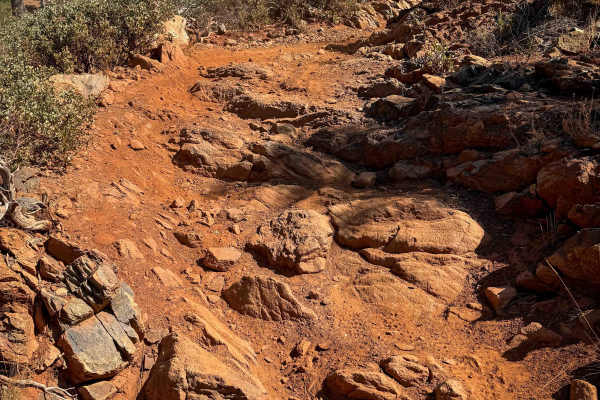
Tie 3-4 is a 1.1-mile-long dirt bike–only trail that maintains a fairly wide path as it cuts through a dry pine forest. It connects Loop 4 to Tie 3-1. The terrain is dominated by dusty red dirt, loose rocks, and frequent rock features, including embedded ledges and foot-tall stair steps. Riders cro...
Learn more about Tie 3-4
Loop 4
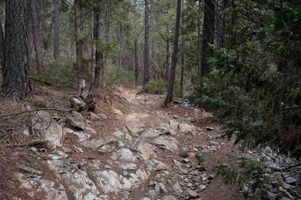
Loop 4 leaves directly from the Sugar Pine Staging Area and makes a 6.6-mile-long, moderately easy ATV loop. The trail mixes easier sections with more moderately technical terrain, through a dry forest environment featuring Ponderosa pine, western yellow pine, manzanita, juniper bushes, and dusty re...
Learn more about Loop 4
Tie 3-1
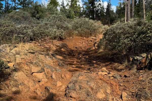
Tie 3-1 is a 1.8-mile-long dirt bike trail that links Loop 4 to Loop 3 and is one of the harder routes in the Sugar Pine area. The trail is rocky throughout, with steeper sections covered in loose rock that fills in the ruts and makes traction more challenging on top of the loose dusty dirt. Larger ...
Learn more about Tie 3-1
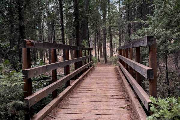
Loop 1
Loop 1 is a 6-mile-long ATV loop that begins directly from the Parker Flat Staging Area. The route is straightforward to follow with well-marked road crossings and intersections, and it offers several bailouts along the way. Riders can also shorten the loop by about a mile by using the Tie 1-1 trail...
Learn more about Loop 1

Loop 7
Loop 7 is a very easy ATV loop in the Foresthill OHV System near Foresthill, California. The loop is just over 4 miles long, and remains wide and obstacle-free for the entire route. The trail winds along the hillsides through a dry and open forest of cedars, dogwoods, ferns, and manzanita bushes. So...
Learn more about Loop 7
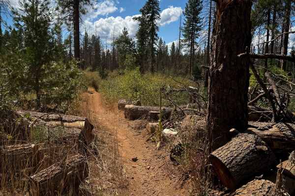
Loop 2
Loop 2 is a long, but easy, single track within the Foresthill OHV System. There aren’t any major rock obstacles throughout the 7-mile route, but there are lots of tight twisty turns, a few logs down that you have to ride over, and some small climbs and easy switchbacks that keep it interesting. The...
Learn more about Loop 2
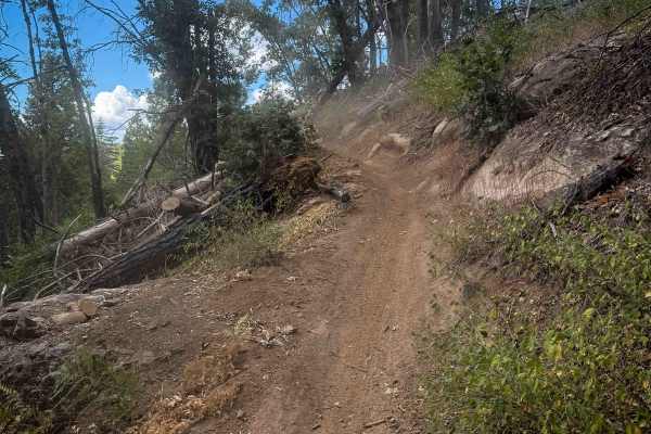
Loop 3
Loop 3 is a dirt bike trail stretching over 6 miles, starting at Loop 2 on the north end, crossing Sugar Pine Road, and tying into several other dirt bike routes, including Tie 3-5, Tie 3-3, and Tie 3-1. The southern end of the trail forms a 1.5-mile loop. Most of the route is smooth, fast, and flow...
Learn more about Loop 3
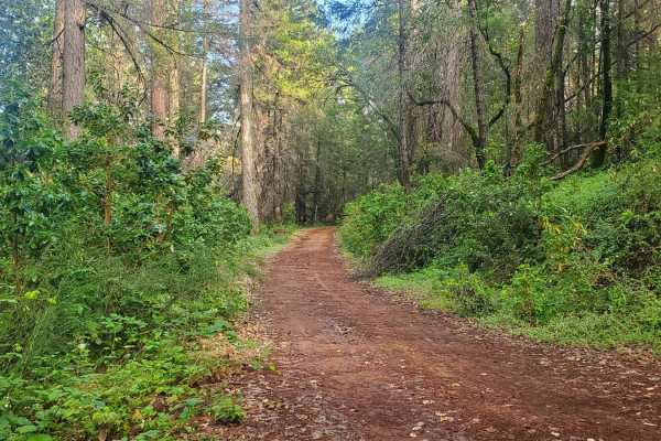
Bottle Hill
Bottle Hill is a good trail to learn how your vehicle feels on dirt, rock, and mud;or to check the off-road capability of your vehicle after making modifications or repairs. It is also a nice, relaxing trail to run for more experienced off-roaders. There is a cellular signal from multiple carriers t...
Learn more about Bottle Hill
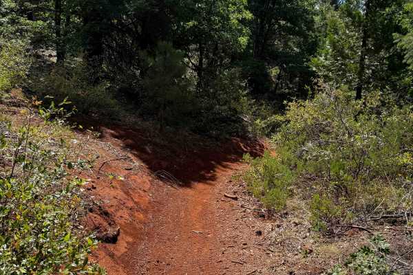
Tie 3-6
Tie 3-6 is a 0.9-mile-long dirt bike loop branching off of Loop 3. The trail matches the ease of Loop 3, offering smooth, flowy, and fast riding through a dry pine forest. It follows a wide singletrack path, allowing for good visibility and easy navigation. The route curves gradually through the Ced...
Learn more about Tie 3-6
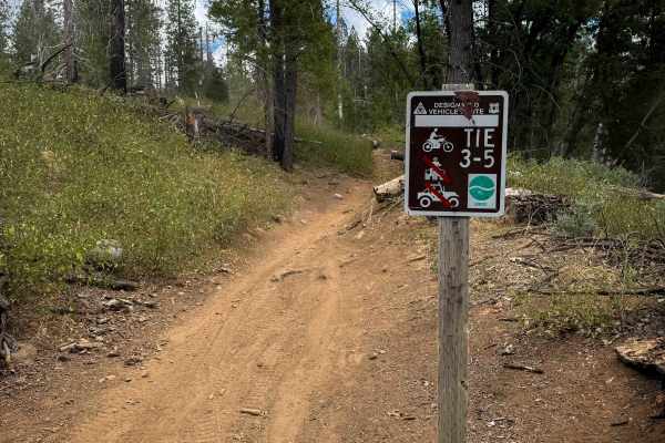
Tie 3-5
Tie 3-5 is a 1.9-mile-long dirt bike trail that connects Loop 3 to Loop 2. The route is smooth and easy, with a dry, dusty surface and a comfortable singletrack width that doesn’t feel too narrow or too wide. Trees are spaced out enough to provide good visibility, and the trail alternates between fa...
Learn more about Tie 3-5
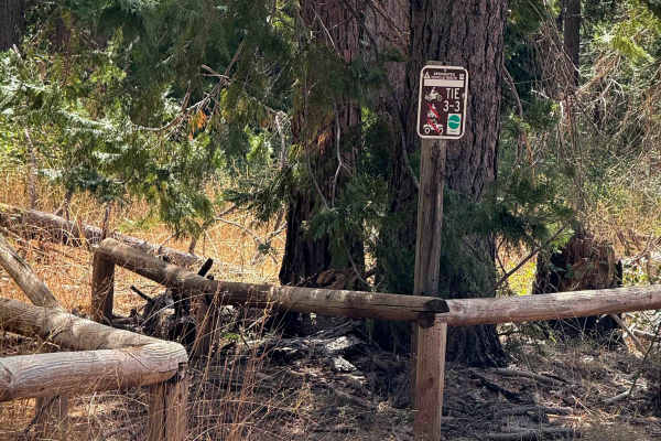
Tie 3-3
Tie 3-3 is a 2.5-mile-long easy dirt bike connector that links different segments of Loop 3 and provides an alternate way north/south when riding Loop 3. The trail consists of smooth dirt with frequent waterbars and is often covered in fallen pinecones across the forest floor. The path is wide—at ti...
Learn more about Tie 3-3
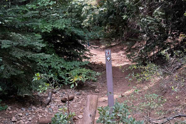
Tie 2-1
This is a one-mile-long connector trail between Loop 2 and Loop 1. The trail is pretty wide the whole way, remaining easy for ATV and dirt bike riders. Its surface is smooth dirt with waterbars, minor ruts, and potential for downed logs, but no major obstacles. It’s littered with pine cones, shaded ...
Learn more about Tie 2-1
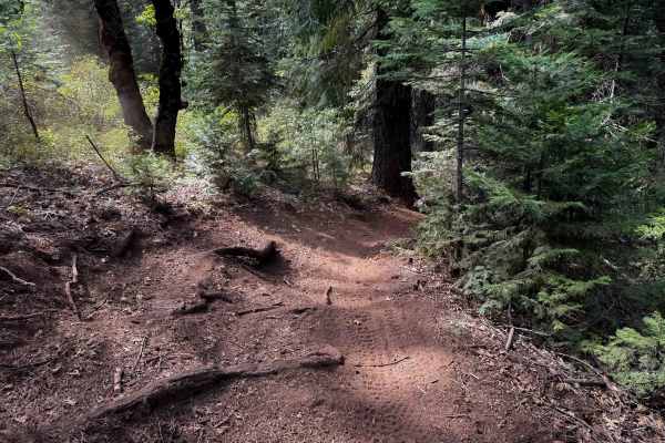
Towle Mill (#66)
Towle Mill is a 10 mile long tight and winding singletrack loop in the Burlington Trail System. It is easily accessed south of the Skillman Campground off of FS 20-012. The terrain is very similar throughout the entire route, as it continuously winds throughout the rolling forest floor, curving arou...
Learn more about Towle Mill (#66)
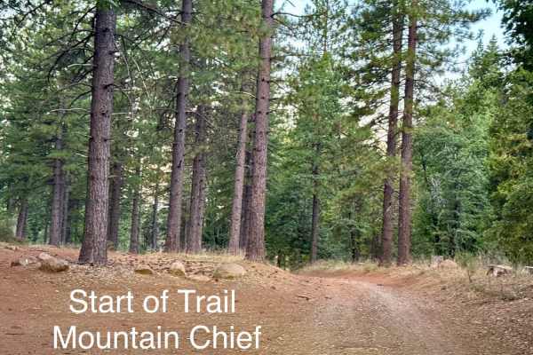
Mountain Chief - FS 10-006
Open to ALL Vehicles 4/1-12/31. Mountain Chief connects to multiple motorcycle trails within the Sugar Pine area of the Tahoe National Forest American River. This dirt road connects Foresthill Road and Sugar Pine Road. Taking in the views of deer, woodpeckers, with the fresh scent of pine is an adde...
Learn more about Mountain Chief - FS 10-006
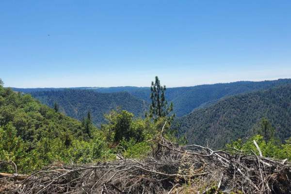
Volcanoville
Volcanoville is a good beginner trail that can be completed by most stock 4x4 SUVs, as well as many AWD vehicles with AT tires and at least 8 inches of clearance. The trail does get progressively more difficult, with plenty of opportunities to turn around safely. Private parcels are well marked and ...
Learn more about Volcanoville
ATV trails near Alta Sierra, California
Explore ATV-friendly trails near you. These trails are accessible for vehicles up to 50 inches wide, perfect for ATVs and smaller off-road machines.
Elliot Ranch Road
Elliot Ranch Road in Foresthill, California, is a rugged, unpaved route in the Tahoe National Forest, offering access to various recreational activities. It serves as the starting point for challenging trails like the Green Valley Trail, which descends steeply to the North Fork of the American River...
Learn more about Elliot Ranch Road
Tie 1-1
Tie 1-1 is a short 0.6 mile long ATV connector that links sections of Loop 1 and cuts off about a mile from the northwest corner of Loop 1. The route is straightforward and very easy, with mostly smooth ground and only a little bit of loose rock and sticks scattered along the way. The trail is gradu...
Learn more about Tie 1-1
11E19
11E19 is a 0.7-mile-long ATV trail with a red dirt surface winding through a forest of sugar pines. The route is wide and mostly gradual, with only a couple of very small rolling hills. It includes a straight section along with a few twisting turns through the trees. The trail is obstacle-free aside...
Learn more about 11E19
11E19-D10
11E19-D10 is an easy ATV spur trail measuring just under half a mile long, often ridden together with 11E19 and D20 near Brimstone Campground. The trail allows two-way traffic with decent visibility, and it is covered in smooth red dirt with no real obstacles. It runs gradually overall, with only on...
Learn more about 11E19-D10
UTV/side-by-side trails near Alta Sierra, California
Find UTV and side-by-side trails near you. These trails accommodate vehicles up to 60 inches wide, ideal for UTVs, side-by-sides, and wider off-road rigs.
Elliot Ranch Road
Elliot Ranch Road in Foresthill, California, is a rugged, unpaved route in the Tahoe National Forest, offering access to various recreational activities. It serves as the starting point for challenging trails like the Green Valley Trail, which descends steeply to the North Fork of the American River...
Learn more about Elliot Ranch Road
Bottle Hill
Bottle Hill is a good trail to learn how your vehicle feels on dirt, rock, and mud;or to check the off-road capability of your vehicle after making modifications or repairs. It is also a nice, relaxing trail to run for more experienced off-roaders. There is a cellular signal from multiple carriers t...
Learn more about Bottle Hill
Mountain Chief - FS 10-006
Open to ALL Vehicles 4/1-12/31. Mountain Chief connects to multiple motorcycle trails within the Sugar Pine area of the Tahoe National Forest American River. This dirt road connects Foresthill Road and Sugar Pine Road. Taking in the views of deer, woodpeckers, with the fresh scent of pine is an adde...
Learn more about Mountain Chief - FS 10-006
Volcanoville
Volcanoville is a good beginner trail that can be completed by most stock 4x4 SUVs, as well as many AWD vehicles with AT tires and at least 8 inches of clearance. The trail does get progressively more difficult, with plenty of opportunities to turn around safely. Private parcels are well marked and ...
Learn more about Volcanoville
The onX Offroad Difference
onX Offroad combines trail photos, descriptions, difficulty ratings, width restrictions, seasonality, and more in a user-friendly interface. Available on all devices, with offline access and full compatibility with CarPlay and Android Auto. Discover what you're missing today!
Open Trail Map