Trail Overview
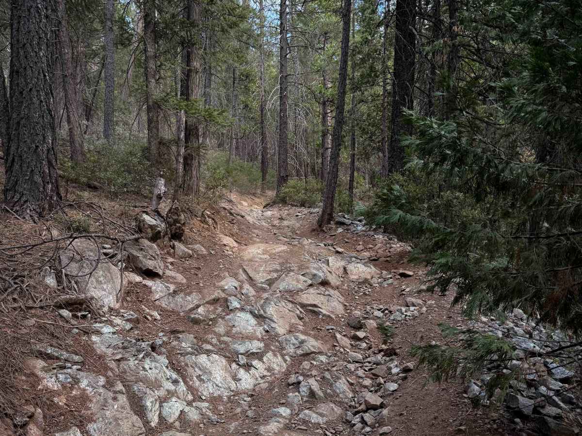
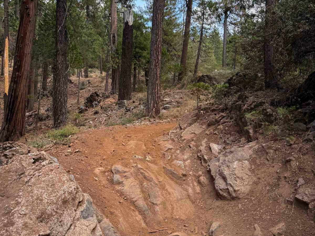
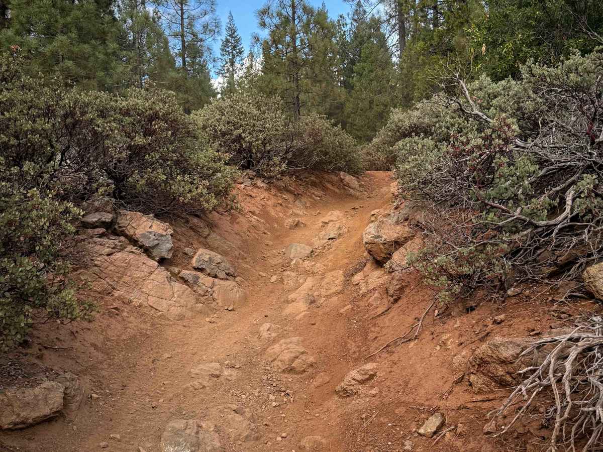
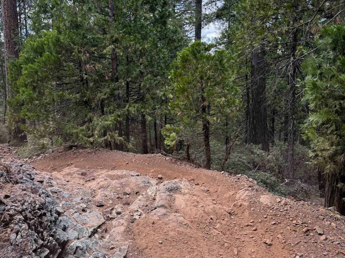
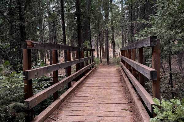
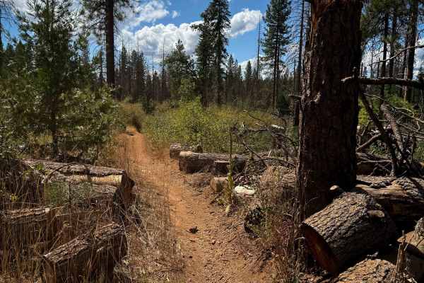
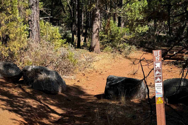
Loop 4 leaves directly from the Sugar Pine Staging Area and makes a 6.6-mile-long, moderately easy ATV loop. The trail mixes easier sections with more moderately technical terrain, through a dry forest environment featuring Ponderosa pine, western yellow pine, manzanita, juniper bushes, and dusty red dirt. There are lots of easy and moderate rock ledges at least a foot tall, though most are ramped and wide, with multiple line choices, making them still approachable for average riders. Riders encounter windy and tight turns through the trees and rocks, but the exposure is low, with gradual grades across the forest floor, keeping it low consequence. The route includes small rolling hills, some covered in loose rock, along with rock piles, big roots, ruts, and frequent embedded rock slabs and boulders. Certain stretches are flowy and faster, balancing out the more technical areas. Numerous road crossings and bailouts are present, and the crossings are often clearly marked with stop signs. The system is well maintained, though the rocky terrain can be slow going for inexperienced quad riders despite the Forest Service’s rating of “easy”. Expect two-way travel and busy weekend traffic.
Difficulty
This is a moderate trail because of the frequent rock ledges, piles of loose rock, and tight winding turns through the forest, but the gradual grades and low exposure keep it still approachable for average riders. The forest service considers this an “Easy” rating.