
Dirt Bike Trails
Near Alix, Arkansas
Explore All Dirt Bike Trails Near Alix, Arkansas
Dirt Bike Trails Near Alix, Arkansas
Discover the best dirt bike trails near you. Browse trail maps, check difficulty ratings, and find your next adventure — whether you're looking for a quick ride or an all-day expedition.
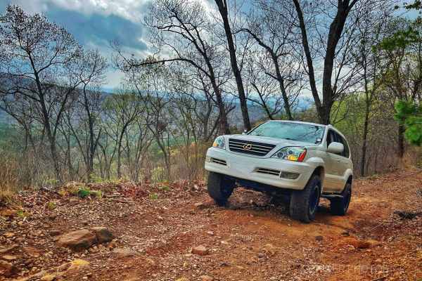
Grassy Point
Near the Horsehead Lake Recreation Area, this trail starts as a mellow gravel road and ascends the mountain, nearing Batson. As you get higher, the trail turns into a bench cut road with a steep drop-off on the east side. Enjoy the views of the valley and lake while climbing a few larger rocks next ...
Learn more about Grassy Point
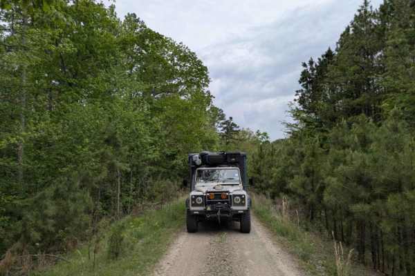
Bramlett R
Bramlett is a rugged two-track trail that starts bumpy, briefly smooths out, and then deteriorates into a rocky, winding path featuring several mud pits and a steep, off-camber section when approached from the north. Drivers will also encounter large off-camber humps, scattered rocks, and a few stre...
Learn more about Bramlett R
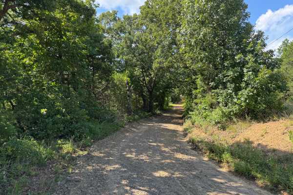
Gene - FS 4406
This out-and-back route follows a well-maintained gravel road through a peaceful stretch of mixed hardwood and pine forest. Tall trees create a shaded canopy over much of the drive, with long straightaways broken up by gentle curves that provide changing views of the surrounding woods. The route fee...
Learn more about Gene - FS 4406
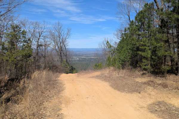
52 Humps
At only 1 miles long, the trail offers scenic views at the top, small rocky ledges, small ruts, and (its namesake) 52 rain humps put in to control erosion. Whether ran top to bottom or the other way, the trail is a fun one. When wet, the trail can be very tricky. There is a spot of two of clay that ...
Learn more about 52 Humps
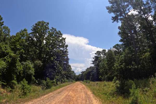
Rich Mountain Byway
This is a pretty short, basic, run-of-the-mill dirt road that leads to some very nice scenic areas. The road is smooth for the most part, with no ruts or mud holes, making it more of a Sunday drive down a backroad. There are plenty of deer along this road, so use caution, and a bunch of rabbits may ...
Learn more about Rich Mountain Byway
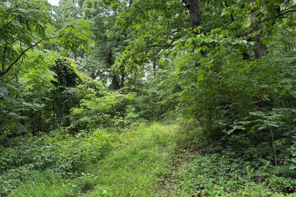
Lonny's Ground
This trail is similar to the surrounding routes, starting fairly easy before becoming more challenging. It begins off Road 4420 and crosses private land with legal access. Along the route, several off-camber sections are becoming increasingly washed out, with additional rutted areas and very tight p...
Learn more about Lonny's Ground
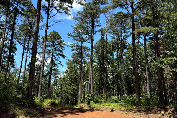
Douglas Dirt
This trail starts off of Barnes Road and heads north into the woods. This trail is doable for most 4x4 vehicles. Along the way, you will find whoops, mudholes with hard rock bottoms, some rutted-out areas, as well as some mud. This trail does come to a dead end and is an out-and-back.
Learn more about Douglas Dirt
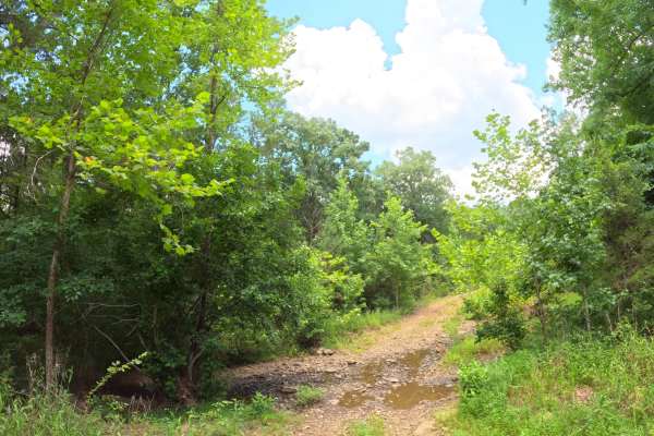
Reville
This trail is smooth and easy for the most part and mainly follows a dirt road. Conditions were dry during the summer, but they may change during the rainy season. The route includes a few shallow creek crossings, a decent-sized pond, deer sightings, and several nice campsites.
Learn more about Reville
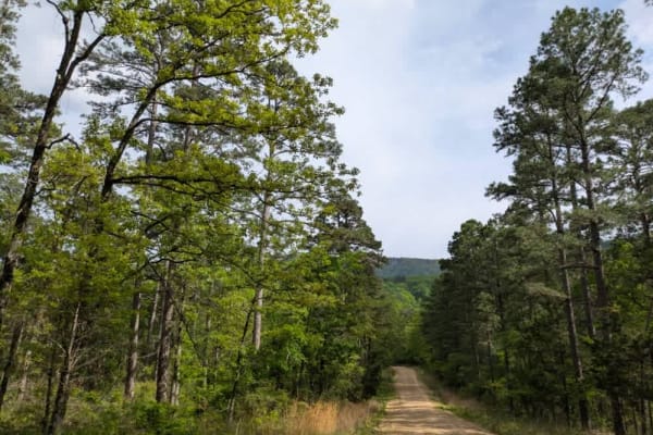
Green Bench Road
This long, winding trail ascends into the mountains, eventually reaching elevations where the forest transitions almost entirely to shortleaf pine. The road is primarily gravel and generally well maintained, though it narrows in places and becomes rocky and bumpy, with several stream crossings--some...
Learn more about Green Bench Road
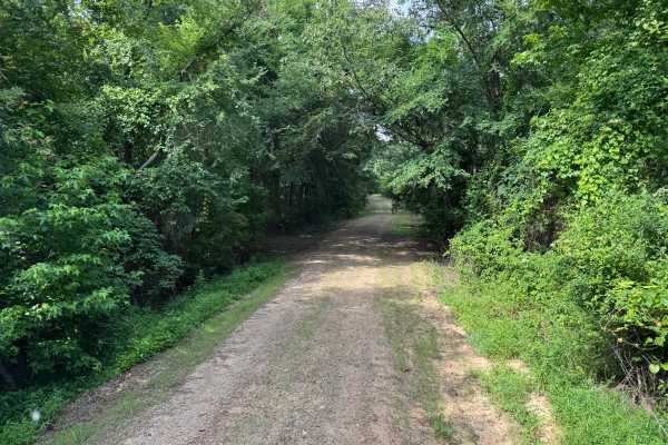
Gene A
This out-and-back route offers a relaxing drive through a dense hardwood and pine forest with a mix of shaded corridors and occasional openings where sunlight filters through the canopy. The road surface is primarily well-maintained gravel with gentle elevation changes and sweeping curves, creating ...
Learn more about Gene A
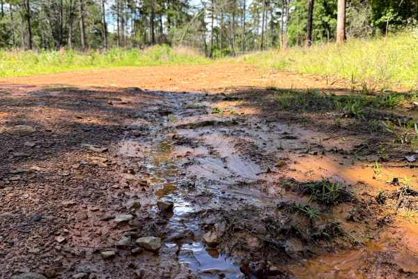
Rocky Crook
This trail starts off Highway 23 and heads east beneath a beautiful canopy. The first quarter is manageable for most four-wheel-drive vehicles, but silty sections and deeper, hard-bottom mud holes become more common farther in, especially after heavy rain. Beyond the mud holes, the trail descends th...
Learn more about Rocky Crook
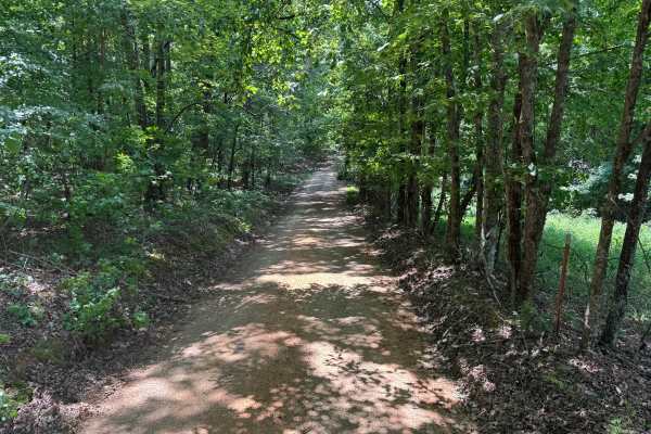
Glory
This out-and-back route begins as a well-maintained gravel forest road winding beneath a dense canopy of hardwoods, with filtered sunlight creating a peaceful drive through the Ozark National Forest. Early in the route, the road is generally one vehicle wide but includes several wider pull-offs wher...
Learn more about Glory
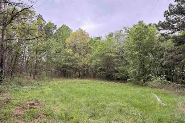
Sinclair Point
This trail is an out-and-back trail leading to a grassy, dead-end camping spot on the ridge. The trail is a two-track, bench cut, and mostly smooth, save for a few shallow mudholes at the end near the dead end, which has a rocky and rutted descent into a soft grassy area good for parking and camping...
Learn more about Sinclair Point
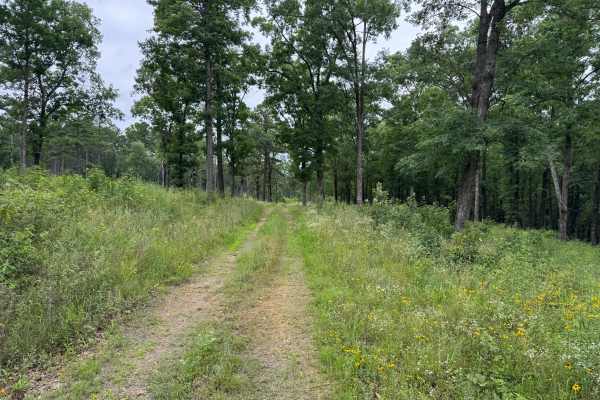
FS 94407D
This out-and-back route follows a narrow, single-vehicle trail through a quiet section of the Ozark National Forest with no designated places to pass. The surface is rougher than nearby forest roads, featuring exposed rock, embedded stone, shallow ruts, and a few small mud holes that may become slic...
Learn more about FS 94407D
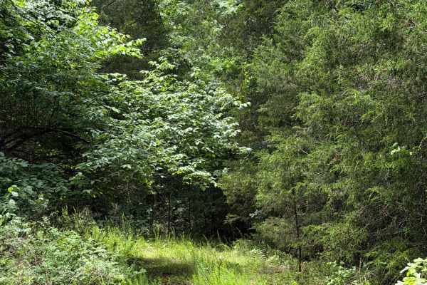
West Prong Passage
This trail is a bit hidden behind some overgrowth along FS 944415C, also known as West Prong Passage. FS 944415C is tight for full-size vehicles, and about 4 miles in, there is a mud hole with a soft surface but a hard bottom. The trail continues beyond the mud hole before reaching a dead end. It is...
Learn more about West Prong Passage
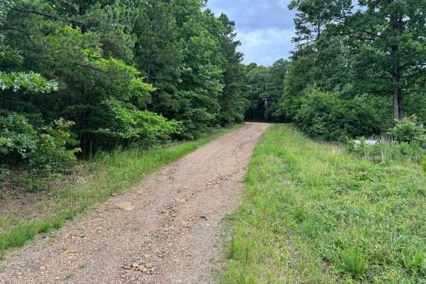
Big Buck
This out-and-back route winds through a quiet section of the Ozark National Forest, following a well-maintained gravel road beneath a canopy of towering pines and hardwoods. The road is generally one vehicle wide, although there are occasional pull-offs where oncoming traffic can safely pass. The sc...
Learn more about Big Buck
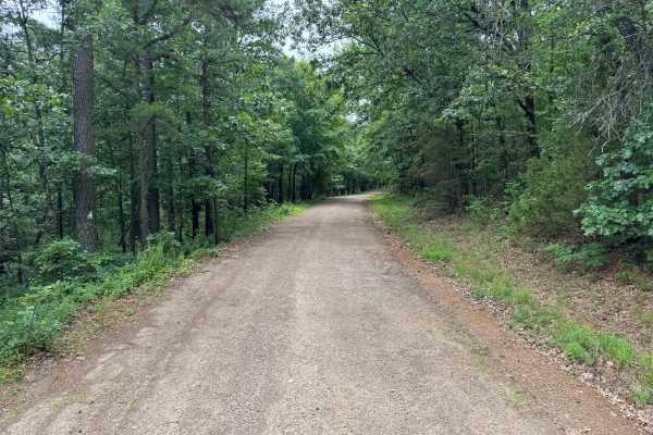
Big Flat
This out-and-back route follows a well-maintained dirt and gravel road that is generally wide enough for two vehicles to pass comfortably. The drive begins beneath a dense canopy of mature hardwoods and towering pines, creating a peaceful forest corridor with gentle curves and long stretches of easy...
Learn more about Big Flat
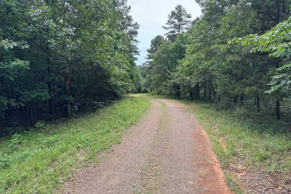
Trouble
This out-and-back route follows a quiet forest road through a scenic mix of mature hardwoods and towering pine trees, offering a peaceful drive with plenty of shade throughout the journey. The road is primarily one vehicle wide, although numerous wider sections provide enough room for two vehicles t...
Learn more about Trouble
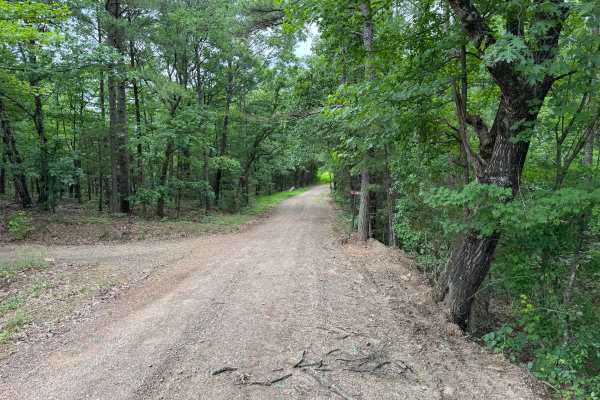
Upper Sarah
This out-and-back route follows a well-maintained gravel road through a dense forest of towering pines and hardwoods. The road is primarily one vehicle wide, though there are several wider sections where oncoming traffic can safely pass. Gentle hills and sweeping curves keep the drive interesting as...
Learn more about Upper Sarah
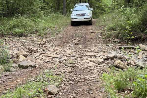
McConnell Ridge
A narrow, winding forest road primarily composed of gravel with intermittent dirt sections and embedded rock. The route is mostly single-vehicle wide with limited passing opportunities. Features one shallow, rocky creek crossing. No obstacles exceed 12 inches, making this a very easy trail suitable ...
Learn more about McConnell Ridge
ATV trails near Alix, Arkansas
Explore ATV-friendly trails near you. These trails are accessible for vehicles up to 50 inches wide, perfect for ATVs and smaller off-road machines.
Grassy Point
Near the Horsehead Lake Recreation Area, this trail starts as a mellow gravel road and ascends the mountain, nearing Batson. As you get higher, the trail turns into a bench cut road with a steep drop-off on the east side. Enjoy the views of the valley and lake while climbing a few larger rocks next ...
Learn more about Grassy Point
Bramlett R
Bramlett is a rugged two-track trail that starts bumpy, briefly smooths out, and then deteriorates into a rocky, winding path featuring several mud pits and a steep, off-camber section when approached from the north. Drivers will also encounter large off-camber humps, scattered rocks, and a few stre...
Learn more about Bramlett R
Gene - FS 4406
This out-and-back route follows a well-maintained gravel road through a peaceful stretch of mixed hardwood and pine forest. Tall trees create a shaded canopy over much of the drive, with long straightaways broken up by gentle curves that provide changing views of the surrounding woods. The route fee...
Learn more about Gene - FS 4406
52 Humps
At only 1 miles long, the trail offers scenic views at the top, small rocky ledges, small ruts, and (its namesake) 52 rain humps put in to control erosion. Whether ran top to bottom or the other way, the trail is a fun one. When wet, the trail can be very tricky. There is a spot of two of clay that ...
Learn more about 52 Humps
UTV/side-by-side trails near Alix, Arkansas
Find UTV and side-by-side trails near you. These trails accommodate vehicles up to 60 inches wide, ideal for UTVs, side-by-sides, and wider off-road rigs.
Grassy Point
Near the Horsehead Lake Recreation Area, this trail starts as a mellow gravel road and ascends the mountain, nearing Batson. As you get higher, the trail turns into a bench cut road with a steep drop-off on the east side. Enjoy the views of the valley and lake while climbing a few larger rocks next ...
Learn more about Grassy Point
Bramlett R
Bramlett is a rugged two-track trail that starts bumpy, briefly smooths out, and then deteriorates into a rocky, winding path featuring several mud pits and a steep, off-camber section when approached from the north. Drivers will also encounter large off-camber humps, scattered rocks, and a few stre...
Learn more about Bramlett R
Gene - FS 4406
This out-and-back route follows a well-maintained gravel road through a peaceful stretch of mixed hardwood and pine forest. Tall trees create a shaded canopy over much of the drive, with long straightaways broken up by gentle curves that provide changing views of the surrounding woods. The route fee...
Learn more about Gene - FS 4406
52 Humps
At only 1 miles long, the trail offers scenic views at the top, small rocky ledges, small ruts, and (its namesake) 52 rain humps put in to control erosion. Whether ran top to bottom or the other way, the trail is a fun one. When wet, the trail can be very tricky. There is a spot of two of clay that ...
Learn more about 52 Humps
The onX Offroad Difference
onX Offroad combines trail photos, descriptions, difficulty ratings, width restrictions, seasonality, and more in a user-friendly interface. Available on all devices, with offline access and full compatibility with CarPlay and Android Auto. Discover what you're missing today!
Open Trail Map