Trail Overview
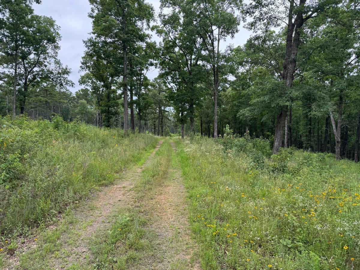
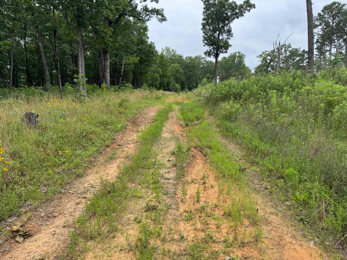
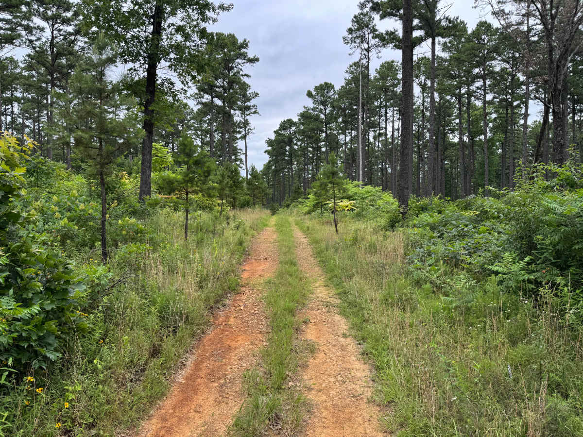
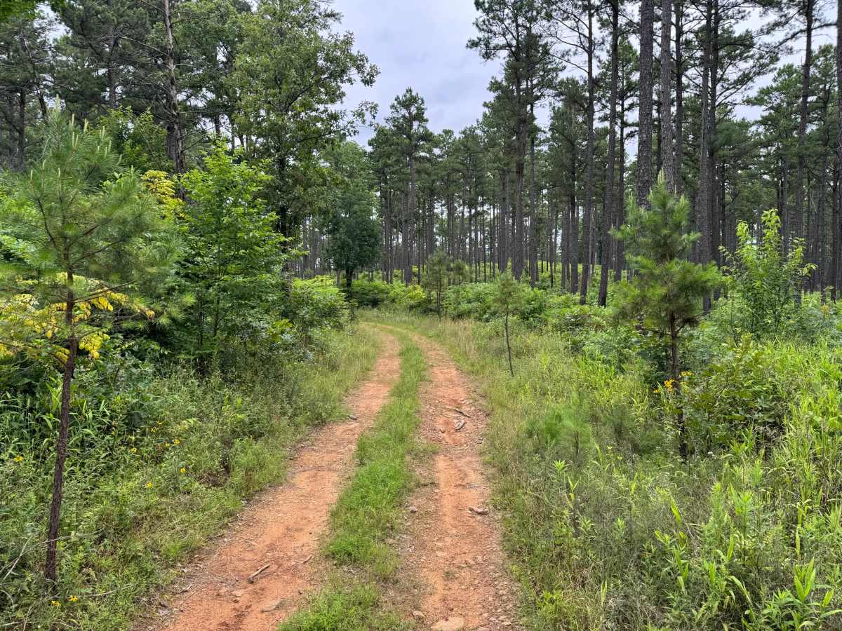
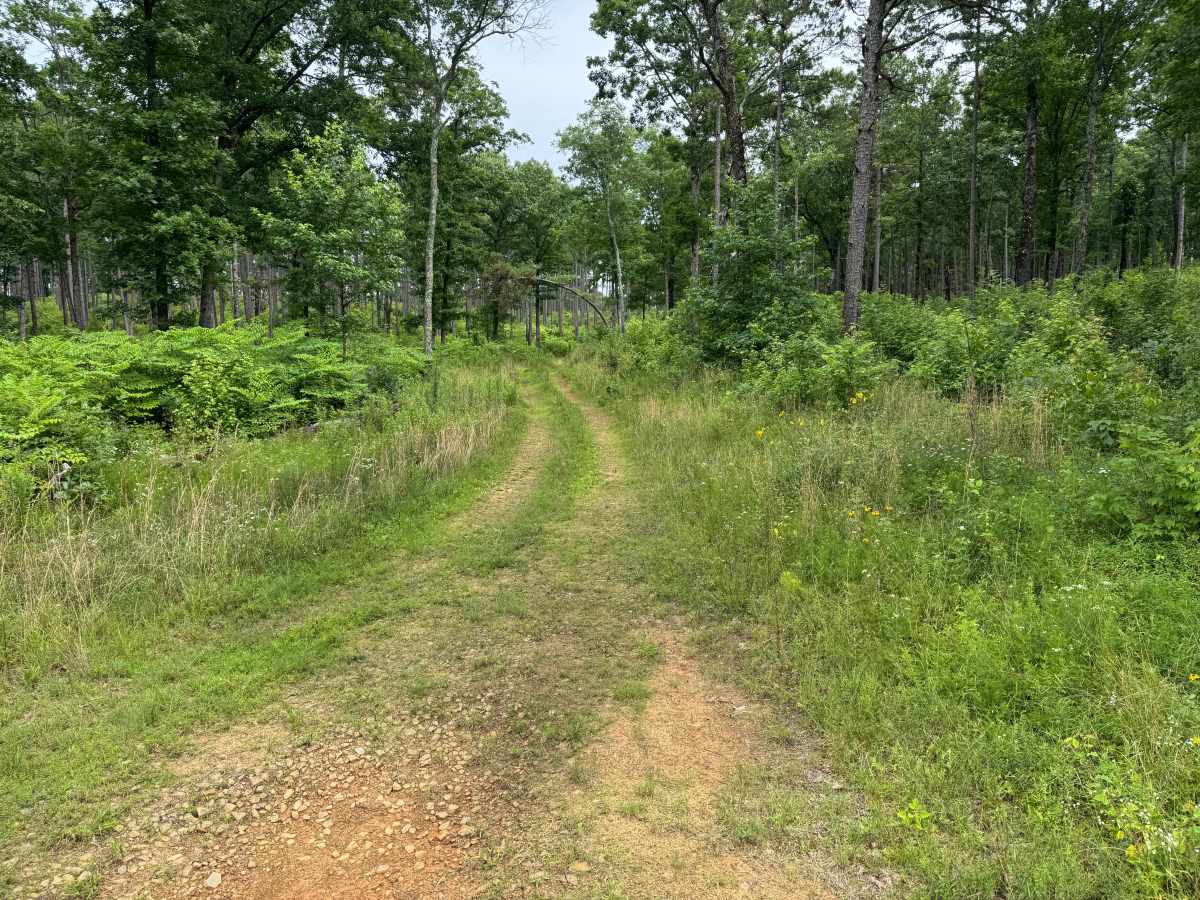
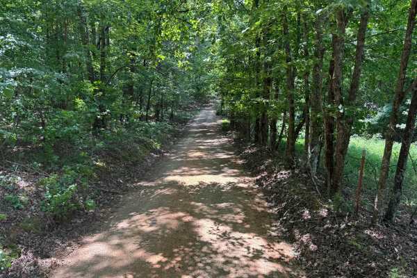
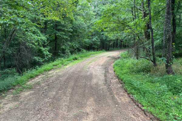
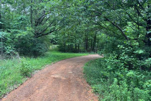
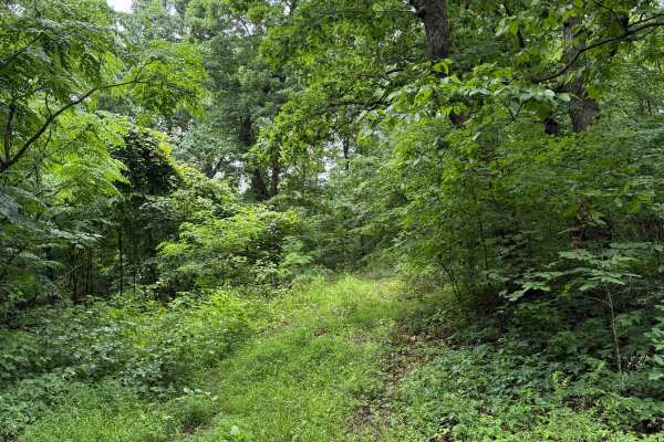
This out-and-back route follows a narrow, single-vehicle trail through a quiet section of the Ozark National Forest with no designated places to pass. The surface is rougher than nearby forest roads, featuring exposed rock, embedded stone, shallow ruts, and a few small mud holes that may become slick after rain. The trail winds through a mix of mature pines, hardwoods, young forest growth, open grassy clearings, and seasonal wildflowers, giving it a secluded feel. The route ends at a small clearing with a closed Forest Service gate marking the turnaround point. Watch for fallen trees and wildlife, as there are no major obstacles beyond the rocky surface and occasional muddy sections.
Difficulty
This narrow two-track is suitable for most high-clearance 4WD vehicles. Expect a rocky surface with exposed stone, shallow ruts, and a few small mud holes that may become more challenging after rain. Fallen trees and wildlife are the primary hazards, but there are no steep climbs, ledges, or technical obstacles. Stock high-clearance vehicles should have no difficulty in dry conditions.
History
The Ozark National Forest was established in 1908 and today forms part of the Ozark-St. Francis National Forests, protecting more than one million acres across northern Arkansas. Many of the Forest Service roads traveled today began as logging, fire access, or resource management roads before becoming part of the modern recreation network. Forest management continues to play an important role in maintaining healthy ecosystems through timber management, prescribed fire, wildlife habitat restoration, and watershed protection. The rugged Boston Mountains and surrounding Ozark Highlands remain one of the oldest and most geologically significant mountain regions in North America, offering visitors a unique combination of natural beauty and rich forest history.