Trail Overview
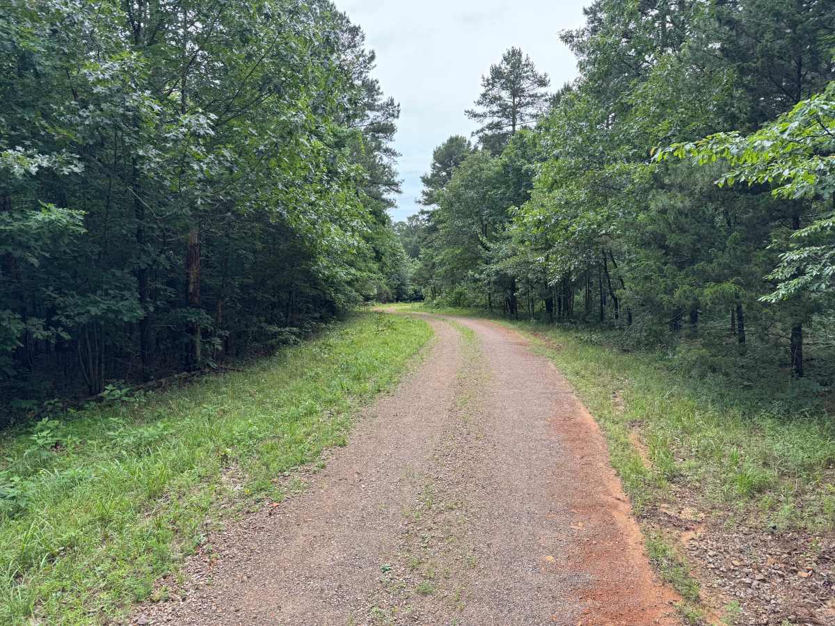
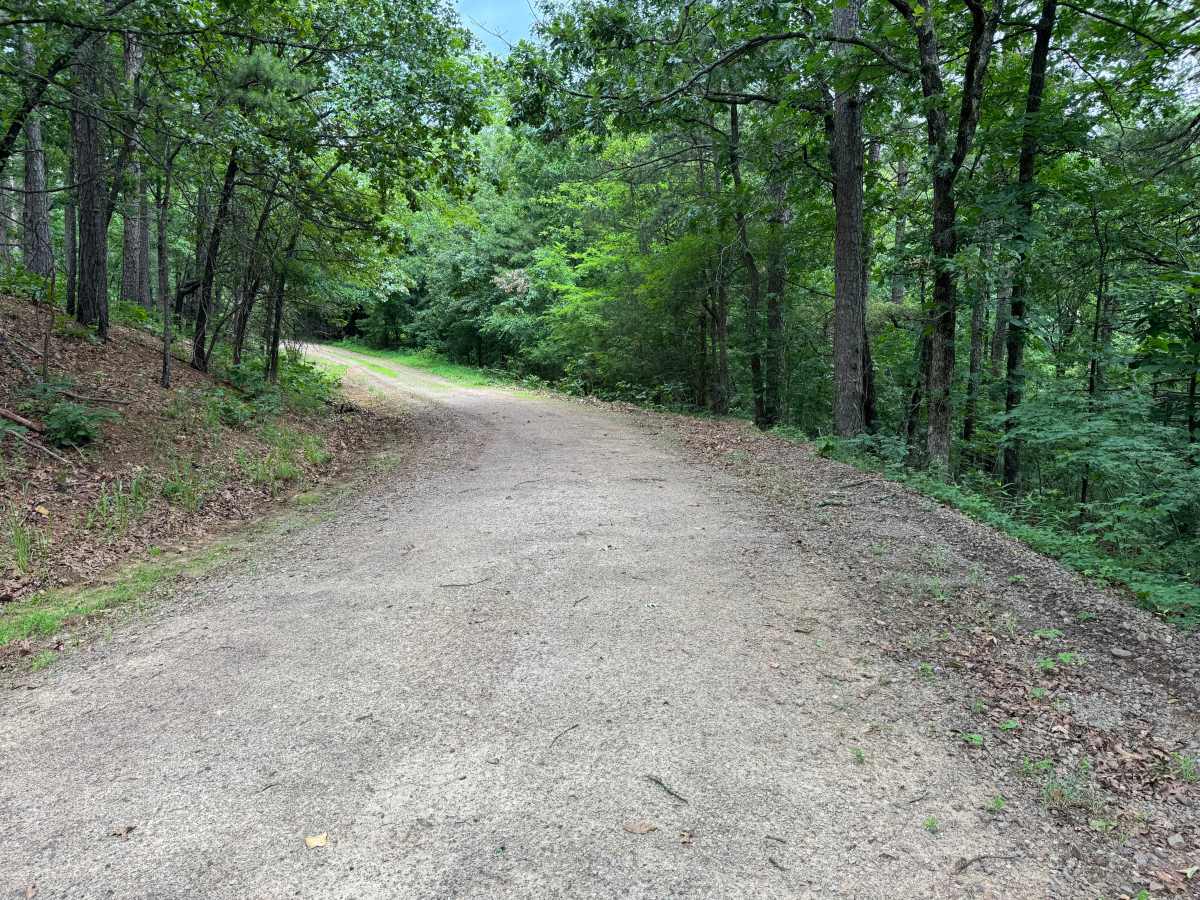
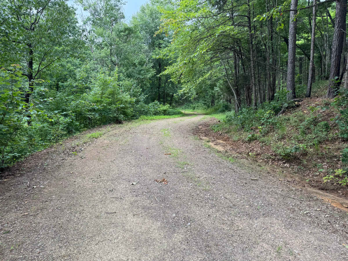
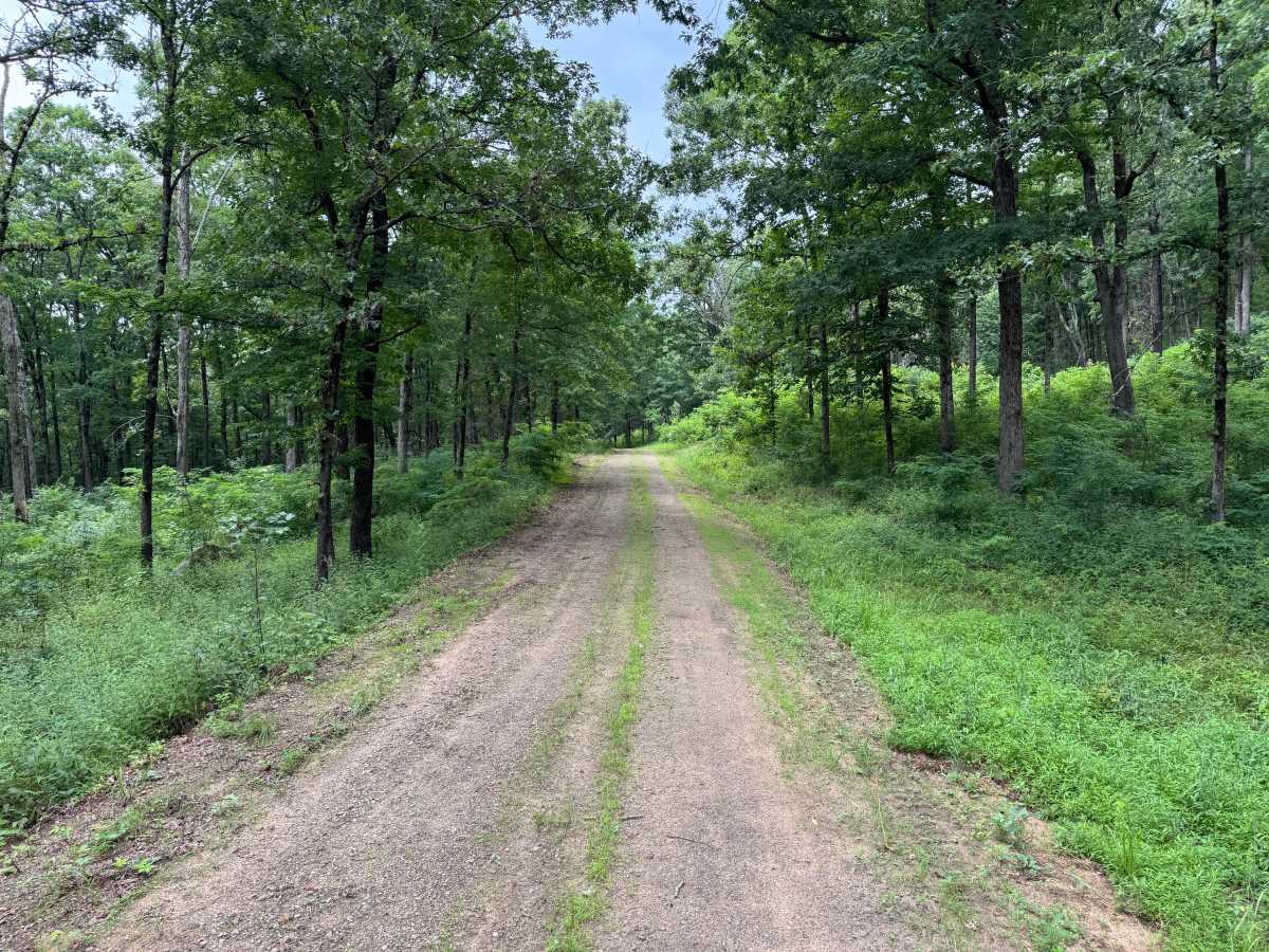
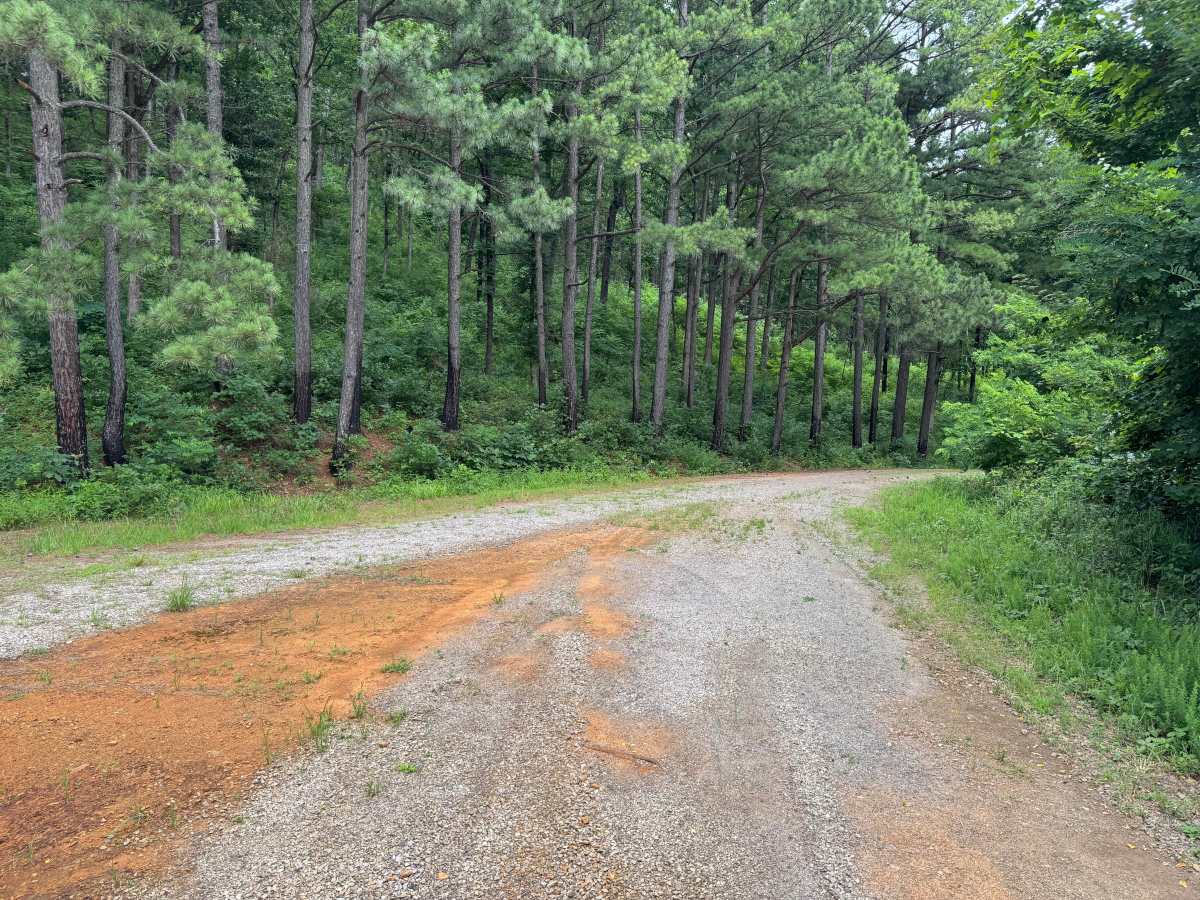
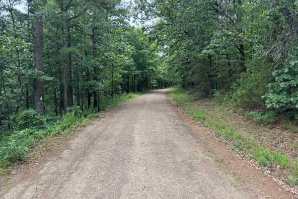
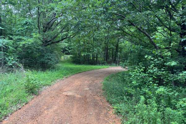
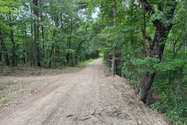
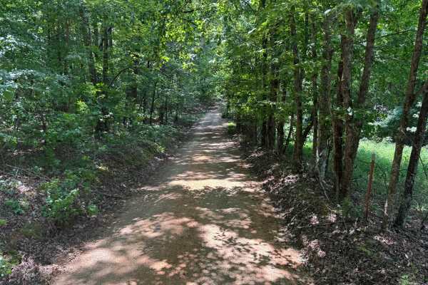
This out-and-back route follows a quiet forest road through a scenic mix of mature hardwoods and towering pine trees, offering a peaceful drive with plenty of shade throughout the journey. The road is primarily one vehicle wide, although numerous wider sections provide enough room for two vehicles to safely pass. Along the drive, the terrain is framed by steep wooded hillsides, with a ravine dropping away on one side and the large sandstone rock formations characteristic of this region rising above the opposite side. The well-maintained gravel surface makes for an easy drive with no significant technical obstacles, though drivers should remain alert for occasional downed trees after storms and wildlife such as deer, wild turkey, and turtles that frequently inhabit the area. As the route winds deeper into the forest, it eventually reaches a natural turnaround near an underground natural gas pipeline corridor marked by gas line warning signs. This serves as the end of the trail and the point where travelers return the way they came.
Difficulty
The road is mostly two vehicles wide with no significant obstacles. Watch for occasional downed trees, wildlife, and a shallow creek crossing that may become muddy after rain. Four-wheel drive is generally only needed in wet conditions.
History
The Ozark National Forest was established in 1908 and today forms part of the Ozark-St. Francis National Forests, protecting more than one million acres across northern Arkansas. Many of the Forest Service roads traveled today began as logging, fire access, or resource management roads before becoming part of the modern recreation network. Forest management continues to play an important role in maintaining healthy ecosystems through timber management, prescribed fire, wildlife habitat restoration, and watershed protection. The rugged Boston Mountains and surrounding Ozark Highlands remain one of the oldest and most geologically significant mountain regions in North America, offering visitors a unique combination of natural beauty and rich forest history.