
Dirt Bike Trails
Near Adrian, West Virginia
Explore All Dirt Bike Trails Near Adrian, West Virginia
Dirt Bike Trails Near Adrian, West Virginia
Discover the best dirt bike trails near you. Browse trail maps, check difficulty ratings, and find your next adventure — whether you're looking for a quick ride or an all-day expedition.
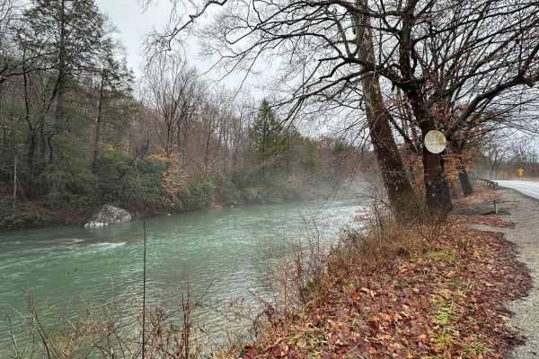
Beans Mill
Start this route in Buckhannon by taking WV-20 south to Sago Road for 5 miles. This section is paved but scenic, running alongside the emerald-hued Buckhannon River. The road transitions to dirt and gravel. At Big Bend Church (38.88129, -80.21359), take the road perpendicular to the parking lot call...
Learn more about Beans Mill
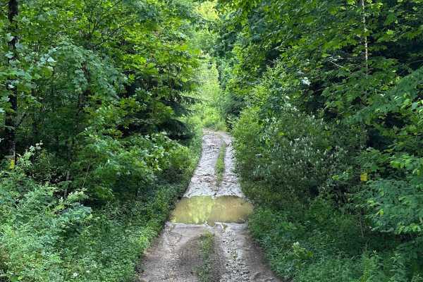
Long Run
This trail can be run in either direction, but this description starts from the north end at the following coordinates: 38.91771, -80.08878. There’s Civil War battle history regarding the bridge that crossed the Middle Fork River in 1861. Please note that this track combines several country roads ad...
Learn more about Long Run
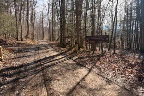
Sugar Camp
A dirt/gravel track with mild elevation gain, no real obstacles. Pay attention to logging, private property signs, etc. With the recent snow and rain, there was a decent amount of mud. This is a good trail for anyone testing out the River Road trail and wanting to mix it up. Additionally, it leads t...
Learn more about Sugar Camp
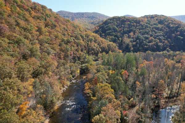
Parsons to Stone Lake Run
Parsons to Stone Lake Run is an easy, scenic gravel route ideal for beginners, overland travelers, and scenic drivers looking to experience the lush forests and river valleys of West Virginia. Spanning approximately 4.3 miles, this trail runs from the town of Parsons toward Stone Lake Run, ultimatel...
Learn more about Parsons to Stone Lake Run
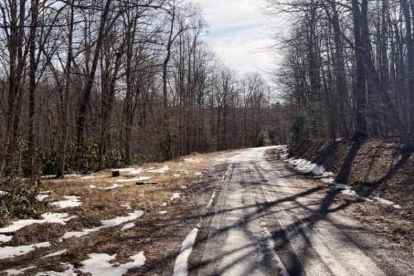
McGowen Mountain
This out-and-back trail is mostly gravel with some dirt mixed in at times. With the recent snow and ice was a beautiful drive. There are good views of the surrounding mountains and the windmills. Very relaxed ride which works well for those who want to take it easy, enjoy the view, and hit the hikin...
Learn more about McGowen Mountain
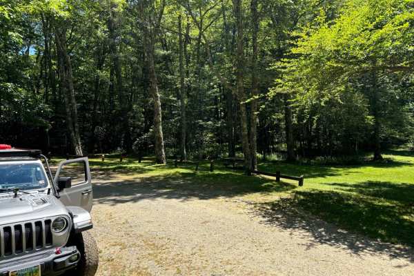
Locust Spring
This route is a dirt road that has very small potholes. At the end of the trail, you will find an area where you can get out of your vehicle and hang out. You will come across a beautiful area to have a picnic and enjoy time with your family. It also has an outdoor bathroom for one person and picnic...
Learn more about Locust Spring
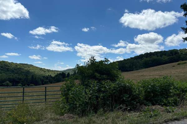
Spruce Mountain Trail
A dirt road with many beautiful views of the mountains, grassy fields, and wildlife while you climb the mountain on such a beautiful road. This road leads you to the Spruce Knob. On the way up this trail, you will come across many side trails that look like something that could be fun to explore. Th...
Learn more about Spruce Mountain Trail
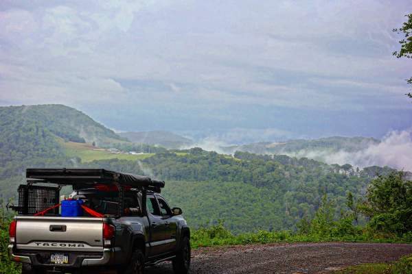
Close Mountain Road
This is the perfect spot to flex your 4 Low. This is a LONG and windy ascent to the top of the mountain. It's a substantially long elevation gain for East Coast travel if you count the hard top to the windmills. This route is mostly gravel with steep climbs and some sharp turns. It's buried amon...
Learn more about Close Mountain Road
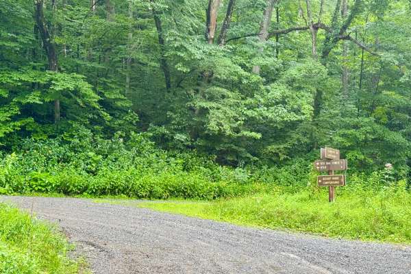
Cranberry Dyer - FS 101
This is a forest road in the Gauley Ranger District of Monongahela National Forest that connects FS 76 to County Route 46 near Dyer, WV. It is notable as it provides access between Bishop Knob campground and the dispersed camping along FS 76. It's a scenic and peaceful drive through dense forest tha...
Learn more about Cranberry Dyer - FS 101
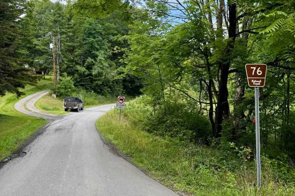
Cranberry- FS 76
This is a forest road in the Gauley Ranger District of Monongahela National Forest that is the spine of camping in this district as it connect Big Rock Campground to Cranberry Campground and has several nice designated river sites for camping too. All of these are first come, first serve with pay by...
Learn more about Cranberry- FS 76
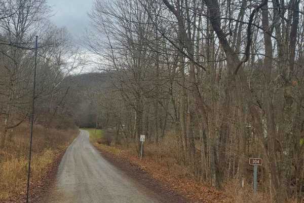
Stillhouse Run Road (FS304)
This Monongahela National Forest Road shares an entrance with Monday Lick Road (FS1002), just south of the town of Marlinton, West Virginia. It follows the Stillhouse Run Creek up to its headwaters above the Greenbriar River. It is a fairly well-maintained dirt forest road with a few small offshoots...
Learn more about Stillhouse Run Road (FS304)
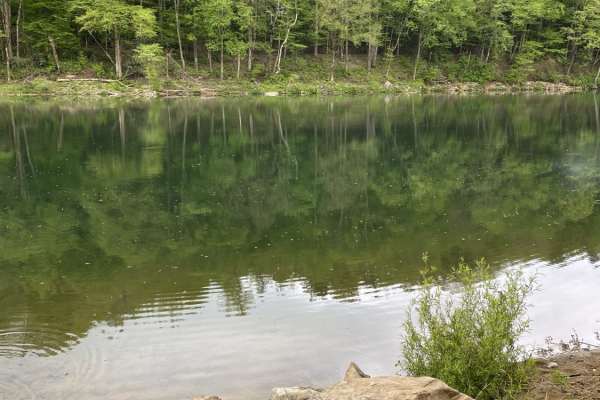
Nile Road to Gauley River
Nile Road to Gauley River is an easy, scenic 1.25-mile downhill trail near Persinger, West Virginia, perfect for beginners and families looking to access a remote beach on the Gauley River. This unpaved route starts at an elevation of 2,124 feet and steadily descends 458 feet to the riverbank at 1,6...
Learn more about Nile Road to Gauley River
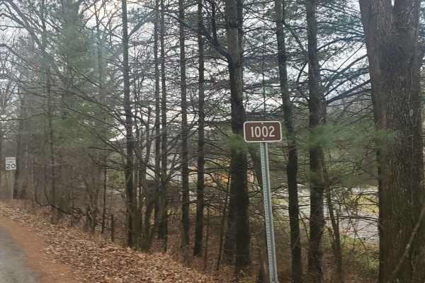
Monday Lick Rd (FS1002)
This forest road goes through part of the Monongahela National Forest and is an easy drive for any truck, small SUV, 4x4, or SxS. Beginning across the street from Stillwell Park, it shares an entrance with Stillwater Run Road (FS 304) but makes an immediate right fork following the Greenbriar River ...
Learn more about Monday Lick Rd (FS1002)
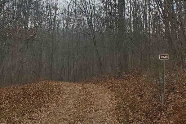
FS304B
This trail is an offshoot of Stillhouse Run Road (FS304). It is poorly, if at all maintained, and downed trees and overgrown limbs cut the trail short of what is shown as available on the map. SxS, dirt bikes, and ATVs may be able to complete the full length of the trail, but a saw would be required...
Learn more about FS304B

Ritchie Mines OHV CR/30 MacFarlan Road
Located in the central area of Ritchie County in West Virginia is an OHV trail you will never forget. This trail is the main one going through the Ritchie Mine area where it begins on State Highway 47 in MacFarlan, WV, and ends on Gillispie Road or CR 1/7 about 5 miles north from the starting point...
Learn more about Ritchie Mines OHV CR/30 MacFarlan Road
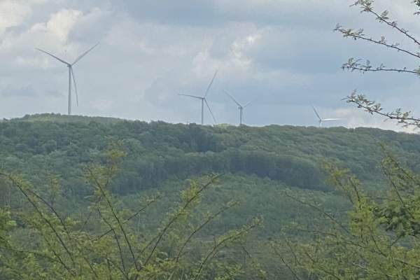
Nettie to Richwood
The Nettie to Richwood route is an easy, scenic point-to-point dirt and gravel trail that is perfect for beginners, families, and overland enthusiasts seeking a relaxed journey through West Virginia's backcountry. Spanning approximately 36.8 miles through Nicholas County, this route takes about thre...
Learn more about Nettie to Richwood
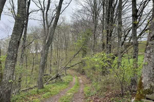
Chestnut Ridge Road
Chestnut Ridge Road offers a scenic journey along a high ridge top, providing breathtaking view on clear days. The majority of the track is an easy drive. The trail features a mandatory technical section that cannot be bypassed, adding just enough challenge to keep things interesting. Please practic...
Learn more about Chestnut Ridge Road
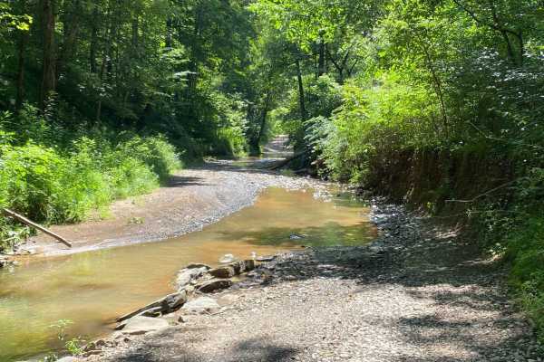
County Route 2 - Wirt County
This is a scenic drive that follows part of Goose Creek in Wirt County, West Virginia. The road is mainly gravel with a few dirt sections and some water crossings but nothing too rough. This road is an absolutely beautiful drive in the fall when the leaves are turning color. There is one stretch of ...
Learn more about County Route 2 - Wirt County
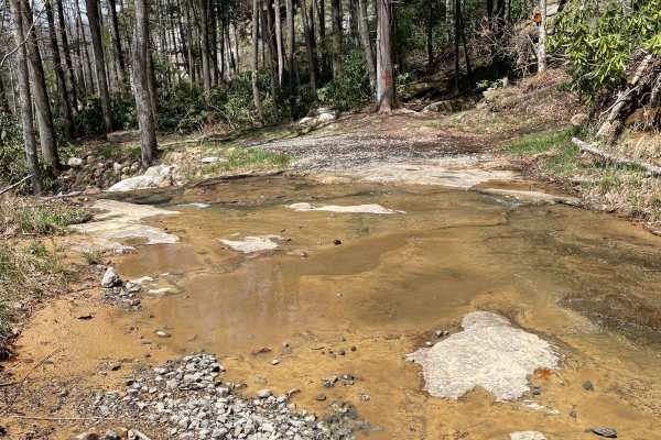
Meadow/Gauley Access Trail
The Meadow/Gauley Access Trail is an engaging two-mile descent ideal for high-clearance four-wheel-drive vehicles, SxSs, and ATVs looking to access the scenic Gauley River corridor. Starting at an elevation of approximately 1,862 feet, the route drops about 690 feet over its course down to 1,186 fee...
Learn more about Meadow/Gauley Access Trail
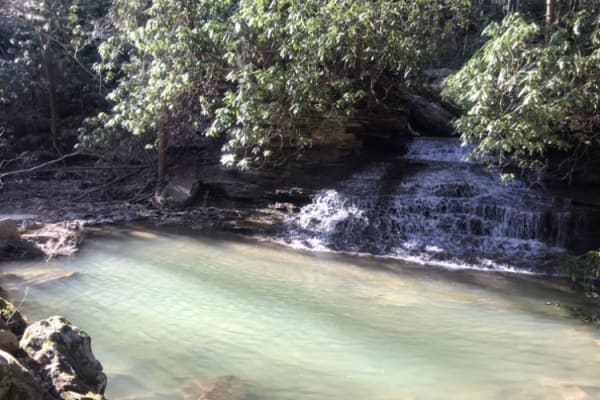
Panther Mountains
Panther Mountains is a scenic and approachable 9.6-mile route perfect for stock four-wheel-drive vehicles, SxSs, and overlanders seeking to explore the rugged heart of the Gauley River National Recreation Area. Winding through dense West Virginia hardwood forests, this trail offers an easy-going tec...
Learn more about Panther Mountains
ATV trails near Adrian, West Virginia
Explore ATV-friendly trails near you. These trails are accessible for vehicles up to 50 inches wide, perfect for ATVs and smaller off-road machines.
Beans Mill
Start this route in Buckhannon by taking WV-20 south to Sago Road for 5 miles. This section is paved but scenic, running alongside the emerald-hued Buckhannon River. The road transitions to dirt and gravel. At Big Bend Church (38.88129, -80.21359), take the road perpendicular to the parking lot call...
Learn more about Beans Mill
Long Run
This trail can be run in either direction, but this description starts from the north end at the following coordinates: 38.91771, -80.08878. There’s Civil War battle history regarding the bridge that crossed the Middle Fork River in 1861. Please note that this track combines several country roads ad...
Learn more about Long Run
Sugar Camp
A dirt/gravel track with mild elevation gain, no real obstacles. Pay attention to logging, private property signs, etc. With the recent snow and rain, there was a decent amount of mud. This is a good trail for anyone testing out the River Road trail and wanting to mix it up. Additionally, it leads t...
Learn more about Sugar Camp
McGowen Mountain
This out-and-back trail is mostly gravel with some dirt mixed in at times. With the recent snow and ice was a beautiful drive. There are good views of the surrounding mountains and the windmills. Very relaxed ride which works well for those who want to take it easy, enjoy the view, and hit the hikin...
Learn more about McGowen Mountain
UTV/side-by-side trails near Adrian, West Virginia
Find UTV and side-by-side trails near you. These trails accommodate vehicles up to 60 inches wide, ideal for UTVs, side-by-sides, and wider off-road rigs.
Beans Mill
Start this route in Buckhannon by taking WV-20 south to Sago Road for 5 miles. This section is paved but scenic, running alongside the emerald-hued Buckhannon River. The road transitions to dirt and gravel. At Big Bend Church (38.88129, -80.21359), take the road perpendicular to the parking lot call...
Learn more about Beans Mill
Long Run
This trail can be run in either direction, but this description starts from the north end at the following coordinates: 38.91771, -80.08878. There’s Civil War battle history regarding the bridge that crossed the Middle Fork River in 1861. Please note that this track combines several country roads ad...
Learn more about Long Run
Sugar Camp
A dirt/gravel track with mild elevation gain, no real obstacles. Pay attention to logging, private property signs, etc. With the recent snow and rain, there was a decent amount of mud. This is a good trail for anyone testing out the River Road trail and wanting to mix it up. Additionally, it leads t...
Learn more about Sugar Camp
Parsons to Stone Lake Run
Parsons to Stone Lake Run is an easy, scenic gravel route ideal for beginners, overland travelers, and scenic drivers looking to experience the lush forests and river valleys of West Virginia. Spanning approximately 4.3 miles, this trail runs from the town of Parsons toward Stone Lake Run, ultimatel...
Learn more about Parsons to Stone Lake Run
The onX Offroad Difference
onX Offroad combines trail photos, descriptions, difficulty ratings, width restrictions, seasonality, and more in a user-friendly interface. Available on all devices, with offline access and full compatibility with CarPlay and Android Auto. Discover what you're missing today!
Open Trail Map