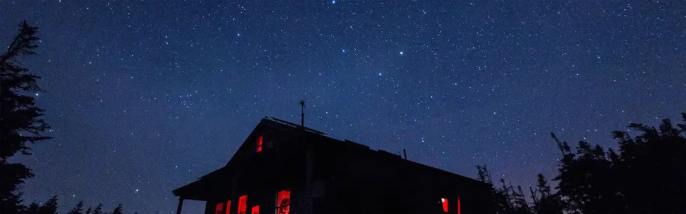
Beginner Off-Road Trails
Near York Beach, Maine
Explore All Beginner Trails Near York Beach, Maine
Beginner Off-Road Trails Near York Beach, Maine
Discover the best beginner-friendly off-road trails near you. These easier, lower-rated trails are a great place to start — browse trail maps, check difficulty ratings, and find your next adventure.
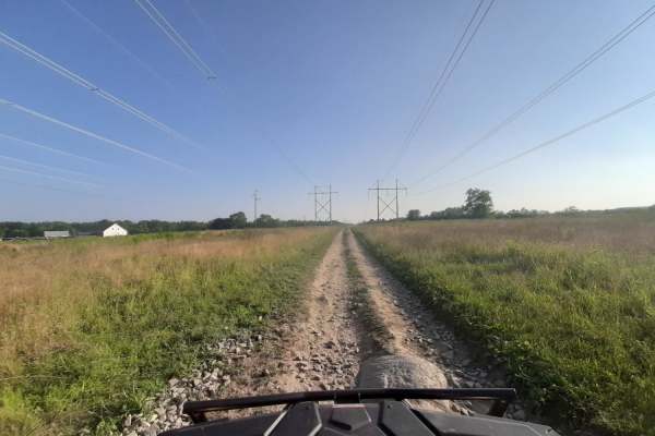
Sanford Maine ATV Club & Rail Trail
Sanford's Rail Trail follows the old Portland and Rochester Railroad Company railbed, passing through many scenic areas in Sanford. This well-maintained, multi-use, flat gravel-topped trail is easily walked and used year round, with stores, ponds and rivers, marshlands, scenic stone bridges and fore...
Learn more about Sanford Maine ATV Club & Rail Trail
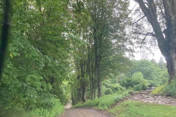
Natty's Route
This public and maintained dirt/gravel route starts in Farmington, New Hampshire, and ends in Strafford. Please be considerate of the residents and stick to the public throughways. Full-width tracks branching off the main throughway are more than likely private property and should never be traversed...
Learn more about Natty's Route
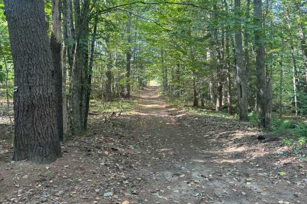
Hersey Road
This is a Class VI road in Danville, New Hampshire. You can access the trail from the east off of State Route 111A, turning onto the Hersey Road paved section. Trail access is to the left at the split (GH Carter Drive goes right), up into the woods. Follow signage for Beehive Hut at the split for th...
Learn more about Hersey Road
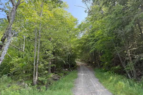
Caverly Road to Devil's Den Road
This route travels across two portions of two Class 6 roads that travel around Caverly Mountain, then between Devil's Den Mountain and Mount Molly. The route is stock four-wheel drive friendly and can be run in either direction. This route starts on Caverly Road and heads West for approximately 1 mi...
Learn more about Caverly Road to Devil's Den Road
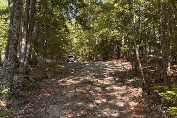
Mountain Road
Mountain Road is a New Hampshire Class VI road. Coming from the south, the route stays right, indicated by a Class VI sign, as Swamp Road goes left. Cow Pastures can be seen to the right as you begin your first climb onto Mountain Road. You will come back down to an intersection for Mountain View Sp...
Learn more about Mountain Road
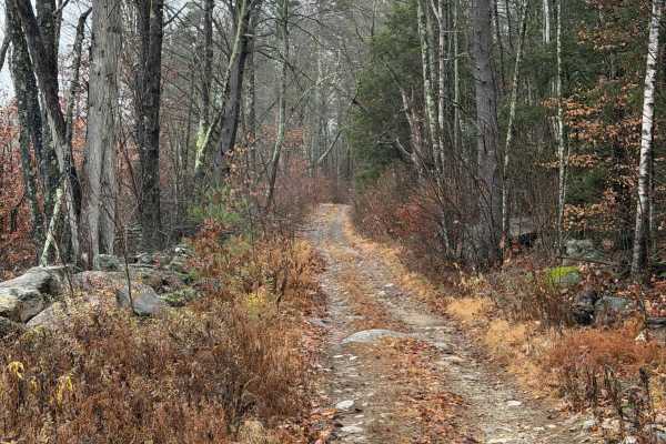
Worthly Road
This trail begins as a shared driveway, with signage identifying it as an unmaintained road. The route winds between properties, passing close to residential backyards. Remnants of an old stone wall separate portions of the trail from private property. The trail ends at a private trail and is not a ...
Learn more about Worthly Road
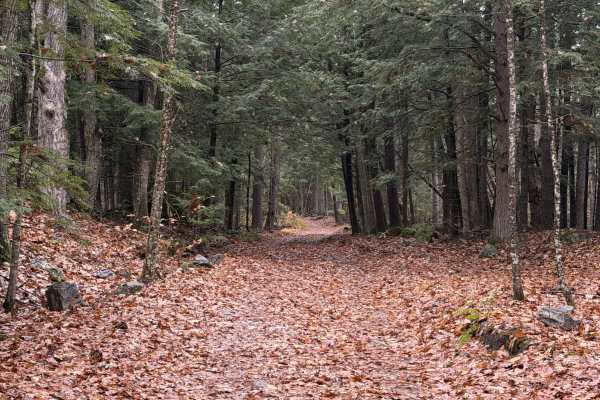
South Road
This route is a continuation of Peaslee Road and is in relatively good condition for an unmaintained road, with no encroaching vegetation. An old stone wall follows the left side of the trail. Near the top of the hill, there is a washed-out, rutted section, with active logging occurring in some area...
Learn more about South Road
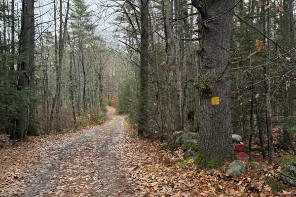
Peaslee Road
Peaslee Road begins as a maintained road passing through private property with views of surrounding farmland before transitioning into a Class VI road that is not maintained by the town. At the first fork, stay left to continue on Peaslee Road or turn right onto Dunbar Road. The route ends at anothe...
Learn more about Peaslee Road
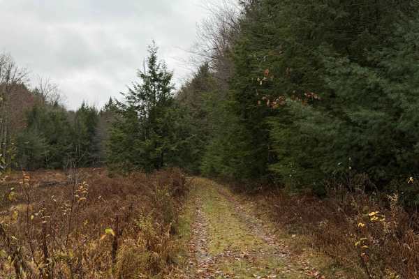
New Road
New Road is far from its namesake. Beginning as a shared driveway, the route continues straight into the woods, with wetlands on the left and hills on the right. One section crosses through wetlands and may flood after heavy rainfall. The trail is heavily overgrown in some areas, with several downed...
Learn more about New Road
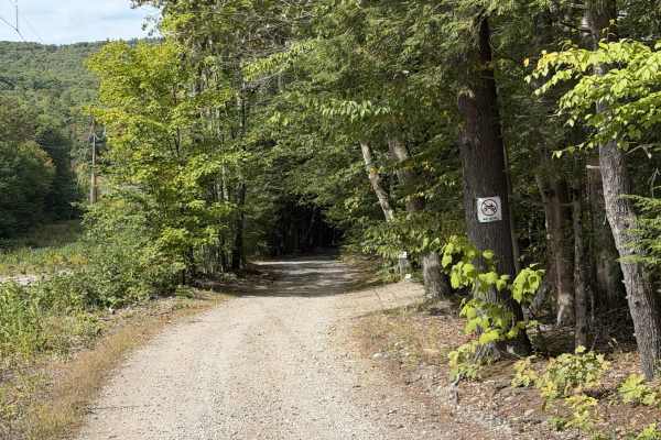
Mountain Road
Mountain Road is a smooth residential dirt road that winds its way through the power lines, crossing power line maintenance roads and meandering around several ponds in the area. The road is relatively well maintained, seeing as sections of it are shared with the power company. There are a few areas...
Learn more about Mountain Road
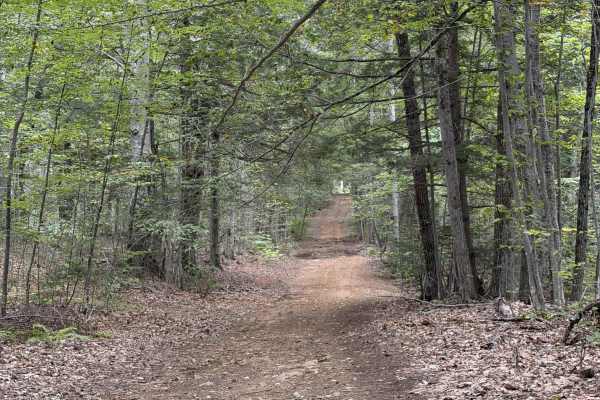
Jewett Road
Jewett Road is a short Class VI route that travels along the back side of residential properties. The route is fairly smooth with no noteworthy features other than some loose rock sections. This route continues south, ending at a neighborhood, and connects with Mountain Road and plenty of other trai...
Learn more about Jewett Road
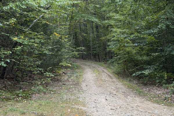
Marsh Ridge Road
Marsh Ridge Road is a short lollipop trail that comes off of Eden Page Road. About 0.4 miles in, the route splits and can be traveled in either direction, with both options looping back to this same point. We recommend staying left first, as this direction takes you up a short climb with loose rock.
Learn more about Marsh Ridge Road
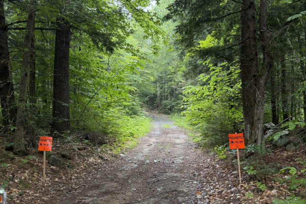
Bound Tree Road
New Hampshire Class VI road. This in-and-out route ends at a small pond, with enough room to turn around. The trail is overgrown and may cause light pinstriping as it passes between property lines and old New England stone walls, with distinct forest types on either side. Posted signage from a lando...
Learn more about Bound Tree Road
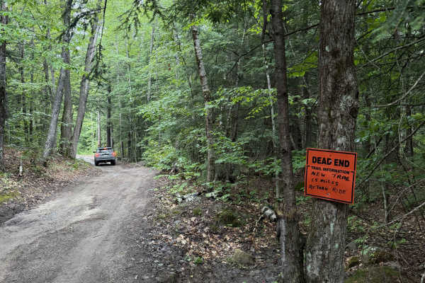
Dummer Road
New Hampshire Class VI road / multi-use trail. This dirt road includes several low areas that show signs of flooding after heavy rain. Use caution near wooden planks covering rusted culverts, as exposed metal may puncture tires. The route is shortened for off-highway vehicles, and signage at the end...
Learn more about Dummer Road
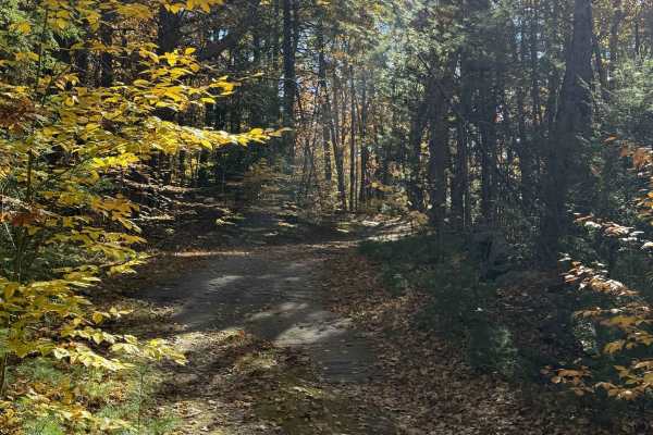
East Joppa Road
Starting at the intersection of West Joppa Road and Kelly Hill Road, the route begins as a well-graded, frequently traveled road with little leaf coverage. As the trail continues into the woods, leaf coverage becomes increasingly thick. Several gated driveways leading to private property are located...
Learn more about East Joppa Road
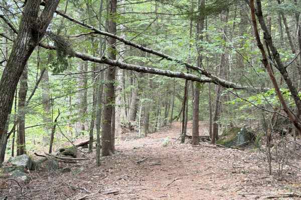
Sawyer Road
The entrance to Sawyer Road is very well hidden in some overgrowth off of Route 149. It is directly across from Cake Road. The route goes between two residential properties and climbs through some coniferous trees, whose needles and deadfall cover the trail. The trail veers right and continues towar...
Learn more about Sawyer Road
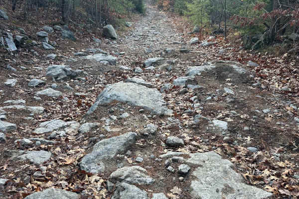
Hutchinson Hill
Hutchinson Hill is a class 6 road consisting of dirt, gravel, and some areas of large boulders. Both ends of the road consist mostly of flat areas of dirt and gravel with a hill section in the center. The hill section consists of large rocks, some sticking up as much as 12 to 16 inches, and will req...
Learn more about Hutchinson Hill
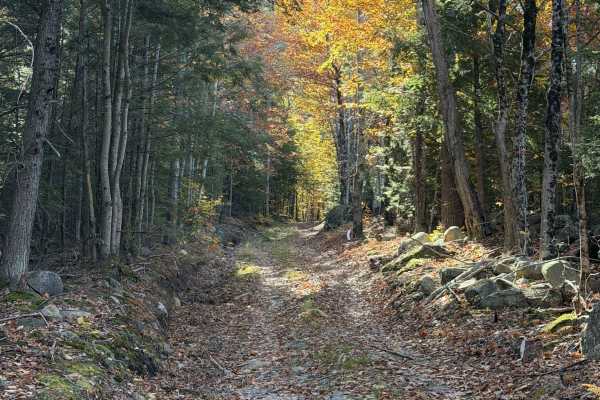
Kelly Hill Road
This trail begins as a shared driveway serving two properties before climbing alongside a house on the right. Old stone walls line both sides of this Class VI road. Toward the end, drivers can choose between a slightly off-camber climb on the right, close to the trees, or a rutted section on the lef...
Learn more about Kelly Hill Road
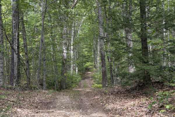
Old Francistown Road
Old Francistown Road is a smooth dirt road that begins at Bartlett Hill Road and makes its way towards the Piscataquog River, where it terminates. This Route follows old property lines, with old stone walls on your left and right for most of the route. There is a lot of deadfall on this trail, with ...
Learn more about Old Francistown Road
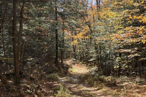
Hoyt Lane
Hoyt Lane travels through a small notch between two hills, connecting Loud Lane and Badger Lane with Colleague Pond Road. Heading south, the route stretches 1.7 miles and steadily descends from 1,080 feet to 680 feet in elevation. Approximately 0.5 miles in, a spur branches off along Old Sanborn Roa...
Learn more about Hoyt Lane
Beginner ATV trails near York Beach, Maine
Explore ATV-friendly trails near you. These trails are accessible for vehicles up to 50 inches wide, perfect for ATVs and smaller off-road machines.
Sanford Maine ATV Club & Rail Trail
Sanford's Rail Trail follows the old Portland and Rochester Railroad Company railbed, passing through many scenic areas in Sanford. This well-maintained, multi-use, flat gravel-topped trail is easily walked and used year round, with stores, ponds and rivers, marshlands, scenic stone bridges and fore...
Learn more about Sanford Maine ATV Club & Rail Trail
Hersey Road
This is a Class VI road in Danville, New Hampshire. You can access the trail from the east off of State Route 111A, turning onto the Hersey Road paved section. Trail access is to the left at the split (GH Carter Drive goes right), up into the woods. Follow signage for Beehive Hut at the split for th...
Learn more about Hersey Road
Caverly Road to Devil's Den Road
This route travels across two portions of two Class 6 roads that travel around Caverly Mountain, then between Devil's Den Mountain and Mount Molly. The route is stock four-wheel drive friendly and can be run in either direction. This route starts on Caverly Road and heads West for approximately 1 mi...
Learn more about Caverly Road to Devil's Den Road
Mountain Road
Mountain Road is a New Hampshire Class VI road. Coming from the south, the route stays right, indicated by a Class VI sign, as Swamp Road goes left. Cow Pastures can be seen to the right as you begin your first climb onto Mountain Road. You will come back down to an intersection for Mountain View Sp...
Learn more about Mountain Road
Beginner UTV/side-by-side trails near York Beach, Maine
Find UTV and side-by-side trails near you. These trails accommodate vehicles up to 60 inches wide, ideal for UTVs, side-by-sides, and wider off-road rigs.
Sanford Maine ATV Club & Rail Trail
Sanford's Rail Trail follows the old Portland and Rochester Railroad Company railbed, passing through many scenic areas in Sanford. This well-maintained, multi-use, flat gravel-topped trail is easily walked and used year round, with stores, ponds and rivers, marshlands, scenic stone bridges and fore...
Learn more about Sanford Maine ATV Club & Rail Trail
Hersey Road
This is a Class VI road in Danville, New Hampshire. You can access the trail from the east off of State Route 111A, turning onto the Hersey Road paved section. Trail access is to the left at the split (GH Carter Drive goes right), up into the woods. Follow signage for Beehive Hut at the split for th...
Learn more about Hersey Road
Caverly Road to Devil's Den Road
This route travels across two portions of two Class 6 roads that travel around Caverly Mountain, then between Devil's Den Mountain and Mount Molly. The route is stock four-wheel drive friendly and can be run in either direction. This route starts on Caverly Road and heads West for approximately 1 mi...
Learn more about Caverly Road to Devil's Den Road
Mountain Road
Mountain Road is a New Hampshire Class VI road. Coming from the south, the route stays right, indicated by a Class VI sign, as Swamp Road goes left. Cow Pastures can be seen to the right as you begin your first climb onto Mountain Road. You will come back down to an intersection for Mountain View Sp...
Learn more about Mountain Road
The onX Offroad Difference
onX Offroad combines trail photos, descriptions, difficulty ratings, width restrictions, seasonality, and more in a user-friendly interface. Available on all devices, with offline access and full compatibility with CarPlay and Android Auto. Discover what you're missing today!
Open Trail Map