
Beginner Off-Road Trails
Near Waves, North Carolina
Explore All Beginner Trails Near Waves, North Carolina
Beginner Off-Road Trails Near Waves, North Carolina
Discover the best beginner-friendly off-road trails near you. These easier, lower-rated trails are a great place to start — browse trail maps, check difficulty ratings, and find your next adventure.
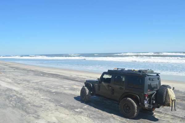
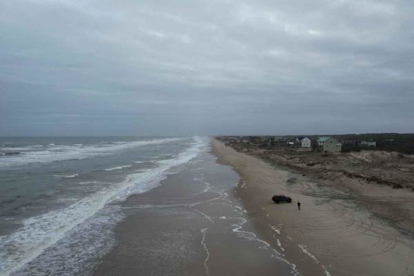
Cape Hatteras Ramp 23 to 25
This is a beautiful sand beach that is a blast to ride on. Cape Hatteras has many access points you can drive on the beach. Ramp 23 is just south of the town of Rodanthe. 4x4 is required to be able to drive on the beach as well as airing down your tires to 20 psi or less. Recovery equipment is also ...
Learn more about Cape Hatteras Ramp 23 to 25

Cape Hatteras Ramp 25 to 27
This is a beautiful sand beach. Cape Hatteras has many access points you can drive on the beach. Ramp 25 is just south of the town of Rodanthe. 4x4 is required to be able to drive on the beach as well as airing down your tires to 20 psi or less. Recovery equipment is also required along with an ORV ...
Learn more about Cape Hatteras Ramp 25 to 27
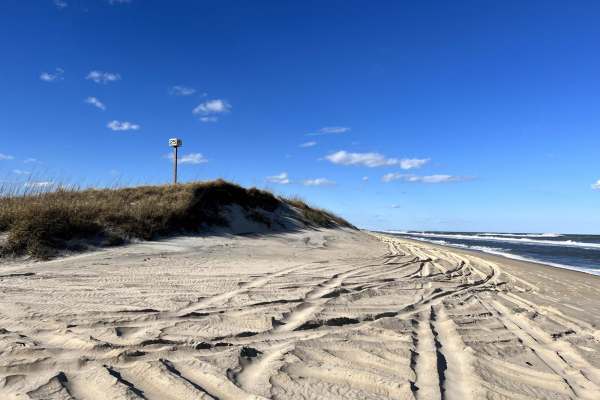
Cape Hatteras Ramp 30 to 32
This is a beautiful beach that is a blast to ride on. Cape Hatteras has many access points you can drive on the beach. Ramp 30 to 32 is just north of Avon. 4x4 is required to be able to drive on the beach as well as airing down your tires to 20 psi or less. Recovery equipment is also required along ...
Learn more about Cape Hatteras Ramp 30 to 32
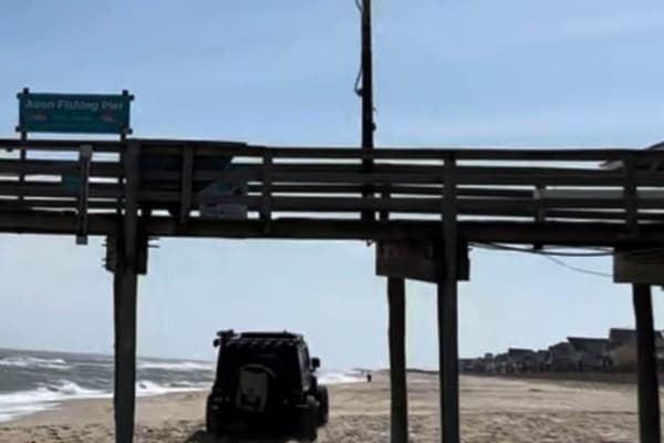
Cape Hatteras 34 to 38 Avon Beach
This Beach access is only open from October 15- April 14. However, if you are there during this time it's a great way to access Avon Beach and have a front-row seat to an amazing beach. 4x4 is required to be able to drive on the beach as well as airing down your tires to 20 psi or less. Recovery equ...
Learn more about Cape Hatteras 34 to 38 Avon Beach
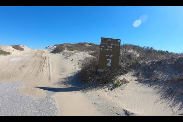
Cape Hatteras Ramp 2 to 4
Cape Hatteras has many access points you can drive on the beach. Ramp 2 to 4 is just south of the town of Nag Head. 4x4 is required to be able to drive on the beach as well as airing down your tires to 20 psi or less. Recovery equipment is also required along with an ORV permit. The permits are sold...
Learn more about Cape Hatteras Ramp 2 to 4
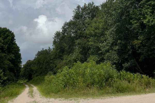
Alligator River National Wildlife Refuge
Alligator River National Wildlife Refuge is a series of dirt and gravel roads located in Dare County, North Carolina, approximately 45 minutes west of Nags Head in the Outer Banks of North Carolina. The roads offer a relaxing view of the wildlife and surrounding forest and swampland. One can expect ...
Learn more about Alligator River National Wildlife Refuge
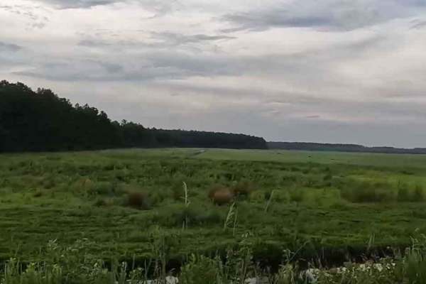
Middle Road - Pocosin Lakes National Wildlife Refuge
This road within the Pocosin National Wildlife Refuge area starts very similar to other roads driving through farmland, with rivers, but eventually switches into a wetter forest road. The first half of the road is well-kept, and very easy to drive on, however, the second half of the road can get a l...
Learn more about Middle Road - Pocosin Lakes National Wildlife Refuge
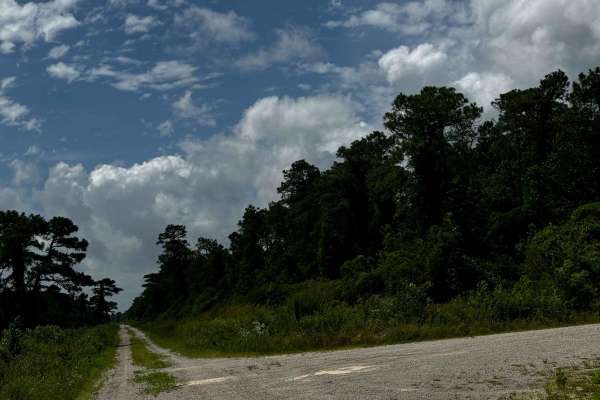
Western Road Pocosin National Wildlife Refuge
This road within the Pocosin National Wildlife Refuge area is rather similar to all the others however is very cool as it can connect to a lake within the refuge. With that being said, depending on the time of the year the connecting road was closed due to wildlife habitats. This connecting road is ...
Learn more about Western Road Pocosin National Wildlife Refuge
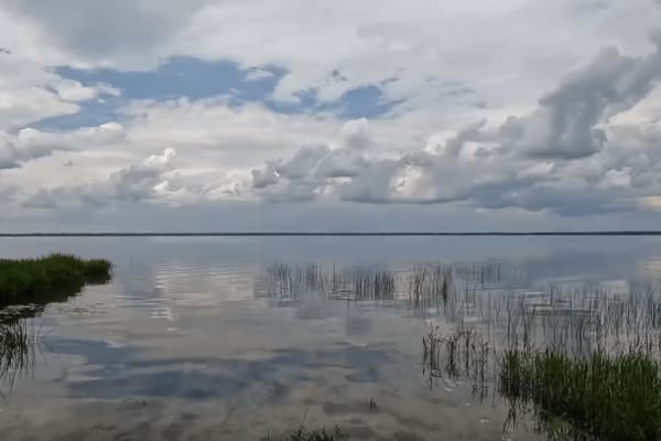
Pocosin Lakes National Wildlife Refuge
Pocosin Lakes National Wildlife Refuge is a series of scenic gravel roads in Tyrrell County, North Carolina. It's located west of Nags Head in the North Carolina Outer Banks. The Refuge offers amazing scenery and views of the local wildlife. One can expect to see alligators, black bears, red wolves,...
Learn more about Pocosin Lakes National Wildlife Refuge
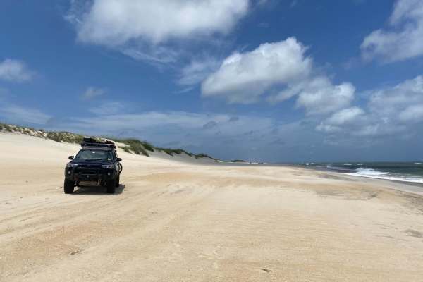
NC12 - Carova 4x4 Beach
The Carova 4x4 Beach is the northernmost portion of NC-12, which runs along North Carolina's Outer Banks. The pavement ends in the town of Corolla, at which point a 4WD vehicle is mandatory to make the beach drive. Currituck County has an ordinance that makes airing down your vehicle's tires to a ma...
Learn more about NC12 - Carova 4x4 Beach
North Core Banks - Portsmouth Island
Portsmouth Island requires a private vehicle ferry from Morris Marina to access and reservation in advance is necessary. A permit is required to drive on the beach and can be obtained through the Cape Lookout National Seashore, National Parks website. Once you get to the island, you have 20 miles of...
Learn more about North Core Banks - Portsmouth Island
Beginner ATV trails near Waves, North Carolina
Explore ATV-friendly trails near you. These trails are accessible for vehicles up to 50 inches wide, perfect for ATVs and smaller off-road machines.
Beginner UTV/side-by-side trails near Waves, North Carolina
Find UTV and side-by-side trails near you. These trails accommodate vehicles up to 60 inches wide, ideal for UTVs, side-by-sides, and wider off-road rigs.
The onX Offroad Difference
onX Offroad combines trail photos, descriptions, difficulty ratings, width restrictions, seasonality, and more in a user-friendly interface. Available on all devices, with offline access and full compatibility with CarPlay and Android Auto. Discover what you're missing today!
Open Trail Map