
Beginner Off-Road Trails
Near Wallace, California
Explore All Beginner Trails Near Wallace, California
Beginner Off-Road Trails Near Wallace, California
Discover the best beginner-friendly off-road trails near you. These easier, lower-rated trails are a great place to start — browse trail maps, check difficulty ratings, and find your next adventure.
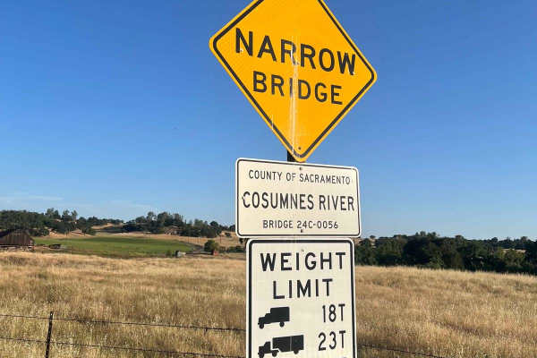
Latrobe Road
Latrobe Road is a scenic dirt road that passes through the rolling foothills outside the Sacramento Valley and provides ample views of the surrounding area. The trail passes through agricultural land, cattle grazing areas, and the 4000 acre Deer Creek Preserve, which is owned/managed by the Sacramen...
Learn more about Latrobe Road
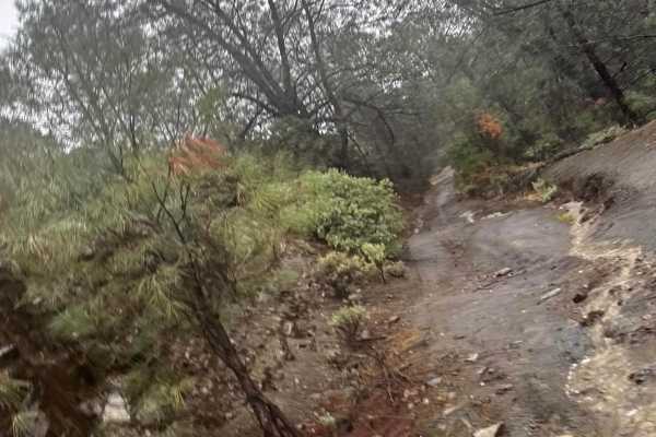
Lug Nut Ledge
Lug Nut Ledge is a short but fun trail with moderate obstacles, including rocky sections, rutted sections, and water crossings. The namesake Lug Nut Ledge features a mild rock step that requires good tire placement but is manageable for most high-clearance vehicles. Water crossings can reach up to a...
Learn more about Lug Nut Ledge
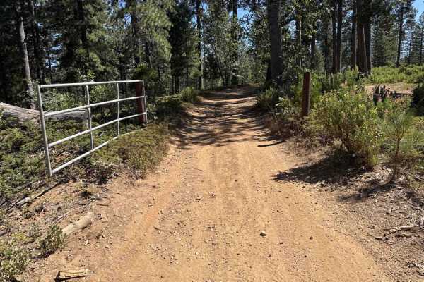
FS 5N56
Connecting the White Pines Lake recreational area with neighboring backcountry routes, Forest Service Road 5N56 serves as an accessible forest thoroughfare within the Stanislaus National Forest. The route winds through a shaded mixed-conifer environment dominated by tall ponderosa pines, incense ced...
Learn more about FS 5N56
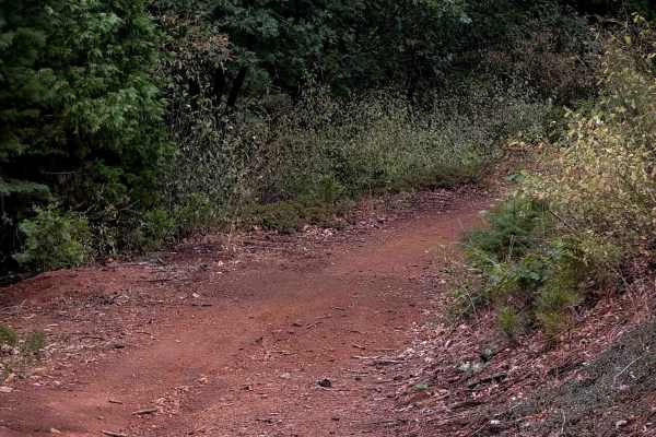
15EV111
This is a wide and easy ATV trail that goes through the southwest corner of the Interface OHV trail system for 1.7 miles. This one is mostly just a wide access corridor that accesses several other trails, and then you can take this to return to the beginning or staging area instead of having to take...
Learn more about 15EV111
15EV55
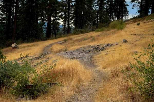
The east end of this trail starts at the intersection with 15EV56 and 15EV106, and goes across a sun-exposed and grassy hilltop with some flat layers of embedded rock in the trail, covered in small loose rock and some minor roots. It descends off the hilltop into the trees, on a narrow path lined wi...
Learn more about 15EV55
FS 5N52
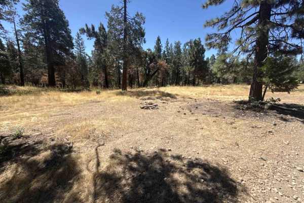
Forest Service Road 5N52 serves as an essential backcountry connector linking recreational staging areas, camping clearings, and branching motorized routes within the Stanislaus National Forest. The route winds through a mixed-conifer woodland characterized by towering ponderosa pines, mature incens...
Learn more about FS 5N52
15EV65
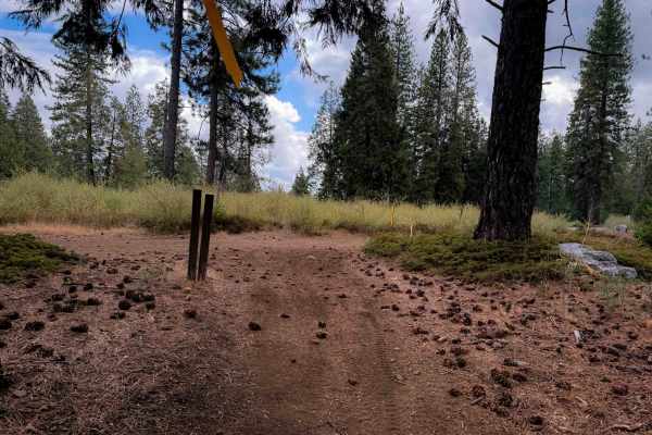
This is a very easy ATV trail that is less than half a mile long, and has no technical elements. It is very wide, smooth, straight and fast, making it ideal for riders of all skill levels. It doesn’t have any rocks or obstacles. It gently curves through the forest of tall oak, cedars and pines, lin...
Learn more about 15EV65
Candy Rock Road
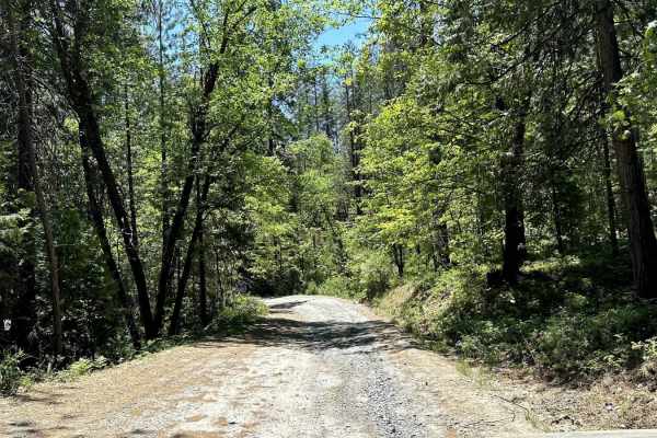
As of May 26, 2023. This road is accessible by vehicles of higher clearance than sedans. This is due to the fire road are not as flat and maintained as Google Maps makes it out to be. When driving on the road, there will be moderately size ruts, and bumps running across the width of the road due to ...
Learn more about Candy Rock Road
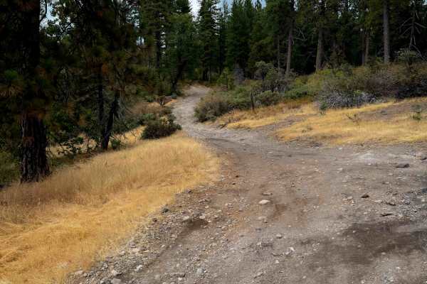
15EV73
This is a wide and easy ATV trail that starts out on the south end lined with small manzanita shrubs and under towering pine trees. It has small loose rocks and shallow ruts, gradually ascending up a hillside, but is mostly a smooth dirt path. It gets a bit narrow in a couple spots between the shrub...
Learn more about 15EV73

15EV105
This is a wide and easy ATV trail that cuts through the middle of the Interface OHV trail system, acting as an easy access route to access several other trails. It has minor loose rock and shallow ruts, but mostly is smooth dirt. It’s lined with bear clover, and goes through a sparse forest of tower...
Learn more about 15EV105
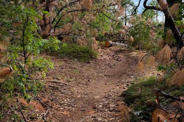
15EV58
This short dirt bike trail weaves between a tight corridor of oaks and shrubs, with towering pine trees. It meanders along the hillside through the tight bushes, often overgrown and whacking you in the face and blocking visibility. Several downed logs have been cut, keeping the trail clear, but ther...
Learn more about 15EV58
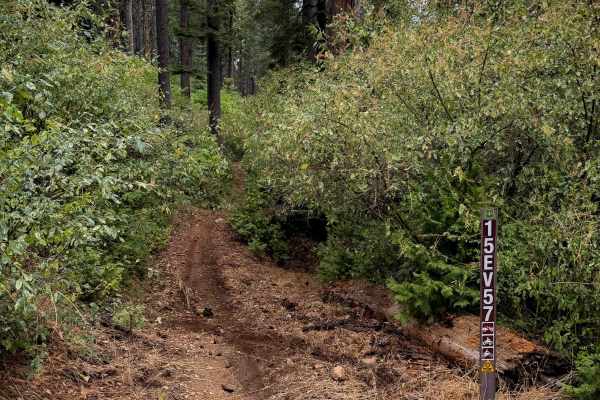
15EV57
This is a 1.2-mile-long easy ATV loop in the northern area of the Interface Trail System. It’s quite narrow for an ATV trail, with a lot of segments between the bushes that feel more like a dirt bike trail. It’s fast and flowy with some big whoops, meandering through flat grassy meadows, and gradual...
Learn more about 15EV57
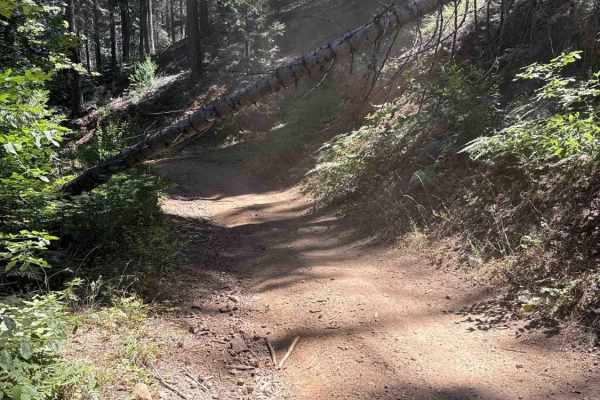
FS 5N41Y
Branching off Forest Service Road 5N52 at the staging area, FS 5N41Y serves as a backcountry connector linking into the surrounding motorized trail network within the Stanislaus National Forest. The route winds through a shaded mixed-conifer woodland characterized by towering pines, fragrant cedars,...
Learn more about FS 5N41Y
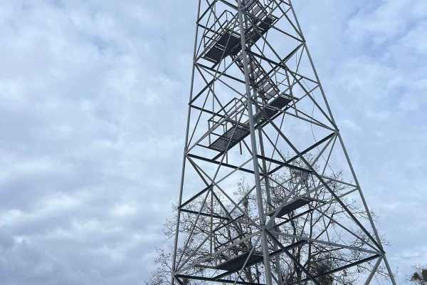
American Camp Lookout
This is a super pretty drive as it descends into the canyons and back up to the mountaintops. On your way to the lookout, you will drive through the Italian Bar/Lost Dutchman Mining Camp, which is a cool place to either pay to camp or you can pay and go gold panning in the river. After leaving there...
Learn more about American Camp Lookout

Stanislaus Forebay
This a very easy trail and is mostly forest roads that zig-zag up the hill to the Forebay. This can be accessed from many ways whether it be from Columbia, Twain Harte, or Camp 9. The Camp 9 entrance is the fastest way in and is a pretty drive looking over the Stanislaus River. Fishing? Try the Fore...
Learn more about Stanislaus Forebay
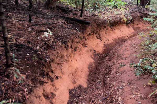
15EV63
This is a short and easy trail in the Interface Trail System that winds through the forest. Its east entrance starts on FS 5N41Y and it zig zags west for 1.2 miles. The beginning has some deeper ruts and troughed out sections, sometimes dug out a foot below the forest floor. There are a few embedded...
Learn more about 15EV63
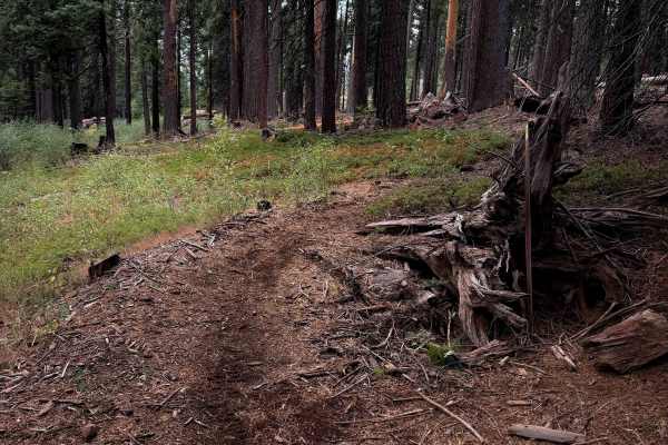
15EV68
15EV68 is a short and easy dirt bike trail that mostly just curves through the forest on a narrow single track on smooth dirt for .7 miles. The trail goes through several previously cut logs, and looks like it gets maintained for any downfall. It goes up and down small hills and meanders through the...
Learn more about 15EV68
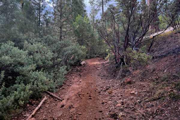
15EV109
This is a short and easy ATV trail that doesn’t have any major obstacles, but is a bit tighter in the trees. From the east end, it goes through a narrow tree corridor tightly lined with fir trees. The trail itself is smooth dirt, with a few shallow ruts and loose sticks and loose rocks, but nothing ...
Learn more about 15EV109
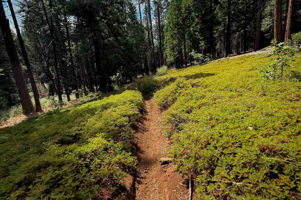
15EV67
This is a short dirt bike trail – less than half a mile long – but easy and ideal for riders of all skill levels. The south end of this trail starts out with some loose rocks on a wide surface, between oak trees and dry grass, going past a big slash pile. The trail is smooth for much of the rest of ...
Learn more about 15EV67
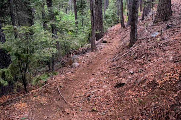
15EV56
This ATV trail starts out on the west end between the bushes, creating a tighter feeling path for ATVs, although still wide for dirt bikes. It winds down through the tall pine trees, cutting across the side of the hill, on a narrower path with big whoops. It goes underneath a canopy of bigleaf maple...
Learn more about 15EV56
Beginner ATV trails near Wallace, California
Explore ATV-friendly trails near you. These trails are accessible for vehicles up to 50 inches wide, perfect for ATVs and smaller off-road machines.
15EV111
This is a wide and easy ATV trail that goes through the southwest corner of the Interface OHV trail system for 1.7 miles. This one is mostly just a wide access corridor that accesses several other trails, and then you can take this to return to the beginning or staging area instead of having to take...
Learn more about 15EV111
15EV55
The east end of this trail starts at the intersection with 15EV56 and 15EV106, and goes across a sun-exposed and grassy hilltop with some flat layers of embedded rock in the trail, covered in small loose rock and some minor roots. It descends off the hilltop into the trees, on a narrow path lined wi...
Learn more about 15EV55
FS 5N52
Forest Service Road 5N52 serves as an essential backcountry connector linking recreational staging areas, camping clearings, and branching motorized routes within the Stanislaus National Forest. The route winds through a mixed-conifer woodland characterized by towering ponderosa pines, mature incens...
Learn more about FS 5N52
15EV65
This is a very easy ATV trail that is less than half a mile long, and has no technical elements. It is very wide, smooth, straight and fast, making it ideal for riders of all skill levels. It doesn’t have any rocks or obstacles. It gently curves through the forest of tall oak, cedars and pines, lin...
Learn more about 15EV65
Beginner UTV/side-by-side trails near Wallace, California
Find UTV and side-by-side trails near you. These trails accommodate vehicles up to 60 inches wide, ideal for UTVs, side-by-sides, and wider off-road rigs.
FS 5N52
Forest Service Road 5N52 serves as an essential backcountry connector linking recreational staging areas, camping clearings, and branching motorized routes within the Stanislaus National Forest. The route winds through a mixed-conifer woodland characterized by towering ponderosa pines, mature incens...
Learn more about FS 5N52
Candy Rock Road
As of May 26, 2023. This road is accessible by vehicles of higher clearance than sedans. This is due to the fire road are not as flat and maintained as Google Maps makes it out to be. When driving on the road, there will be moderately size ruts, and bumps running across the width of the road due to ...
Learn more about Candy Rock Road
FS 5N41Y
Branching off Forest Service Road 5N52 at the staging area, FS 5N41Y serves as a backcountry connector linking into the surrounding motorized trail network within the Stanislaus National Forest. The route winds through a shaded mixed-conifer woodland characterized by towering pines, fragrant cedars,...
Learn more about FS 5N41Y
American Camp Lookout
This is a super pretty drive as it descends into the canyons and back up to the mountaintops. On your way to the lookout, you will drive through the Italian Bar/Lost Dutchman Mining Camp, which is a cool place to either pay to camp or you can pay and go gold panning in the river. After leaving there...
Learn more about American Camp Lookout
The onX Offroad Difference
onX Offroad combines trail photos, descriptions, difficulty ratings, width restrictions, seasonality, and more in a user-friendly interface. Available on all devices, with offline access and full compatibility with CarPlay and Android Auto. Discover what you're missing today!
Open Trail Map