Trail Overview
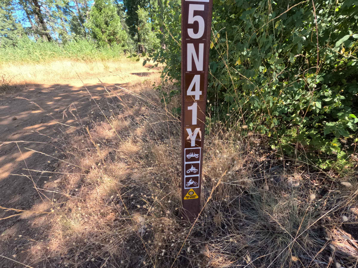
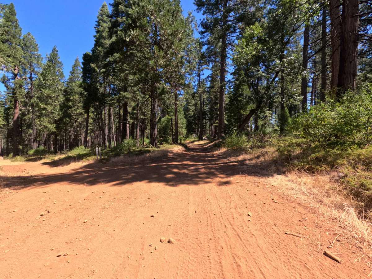
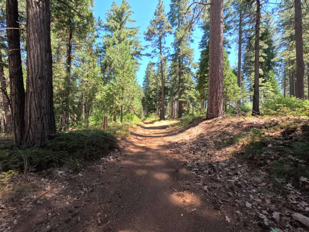
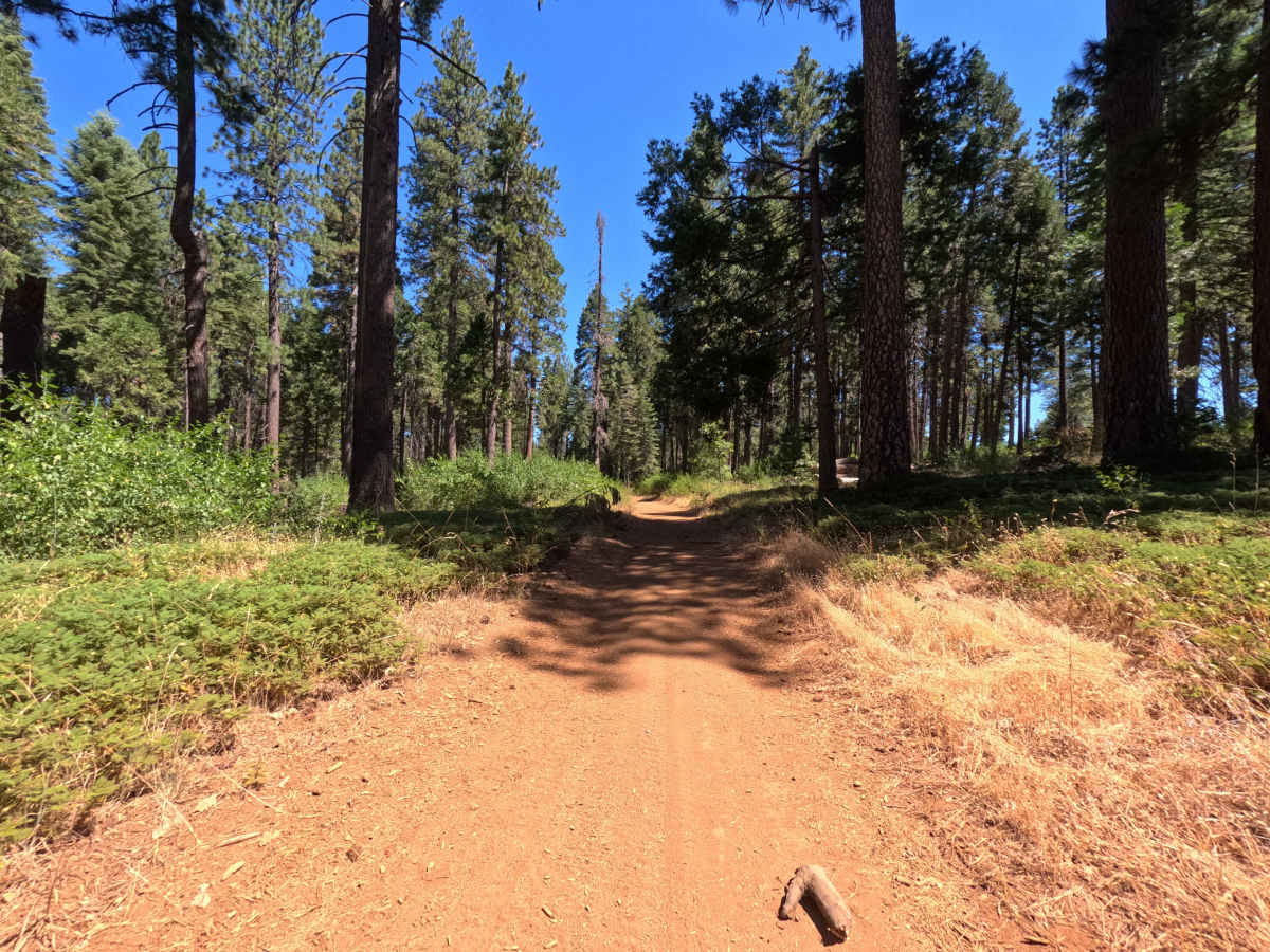
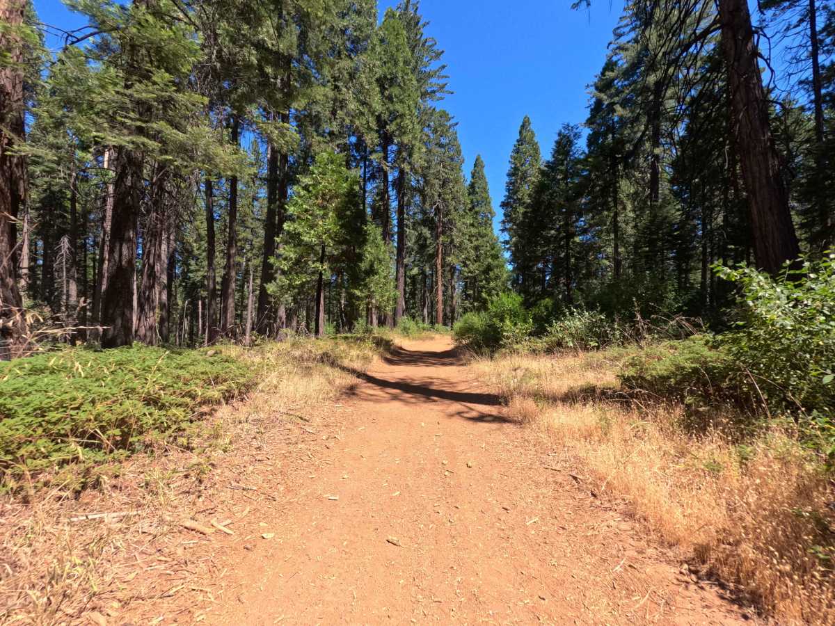
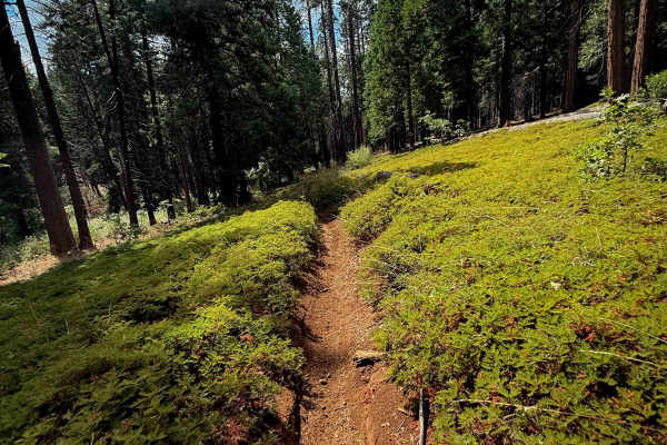
Branching off Forest Service Road 5N52 at the staging area, FS 5N41Y serves as a backcountry connector linking into the surrounding motorized trail network within the Stanislaus National Forest. The route winds through a shaded mixed-conifer woodland characterized by towering pines, fragrant cedars, and leafy brush corridors. The route features a narrow, single-lane native-dirt tread sprinkled with loose stone. Outdoor enthusiasts frequently use this pathway to access branching dirt-bike and ATV routes that connect deeper into the regional trail system. Light roadside vegetation borders the corridor, while the route maintains a scenic, undulating course through the timber between access points.
Difficulty
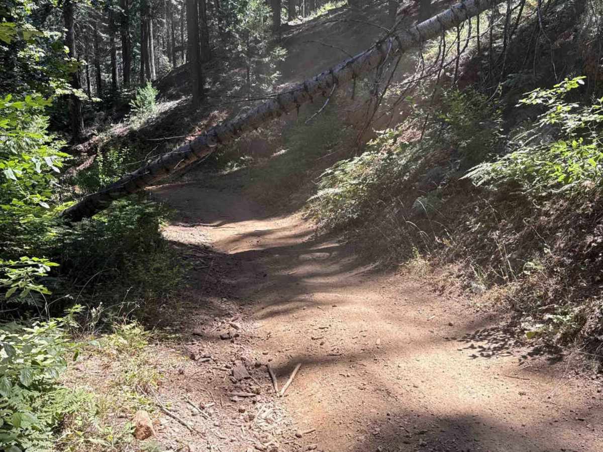
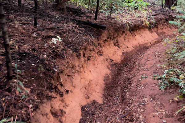
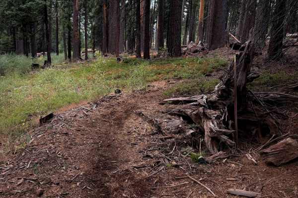
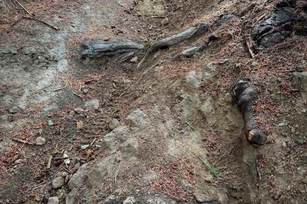
This trail provides a manageable and mostly smooth drive over hard-packed soil and small loose rock. Obstacles consist of minor surface ruts, gentle dips, and tight clearances where downed logs border the roadbed. A fallen tree spans the trail at an angle, creating a low-hanging vertical clearance restriction that may impede tall roof-mounted gear or tall rooftop tents, though standard-height vehicles easily clear underneath. Maintaining a slow, steady speed and choosing a clean line over the minor ruts ensures a relaxed journey.