Trail Overview
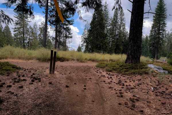
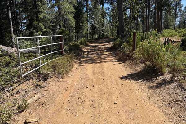
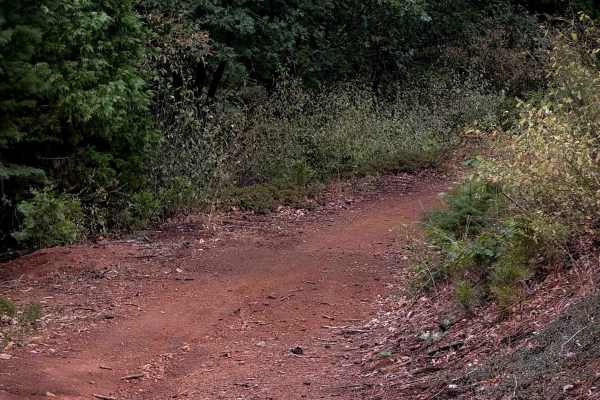
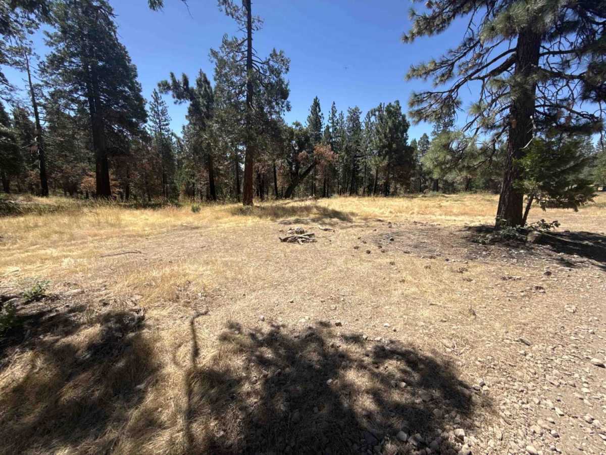
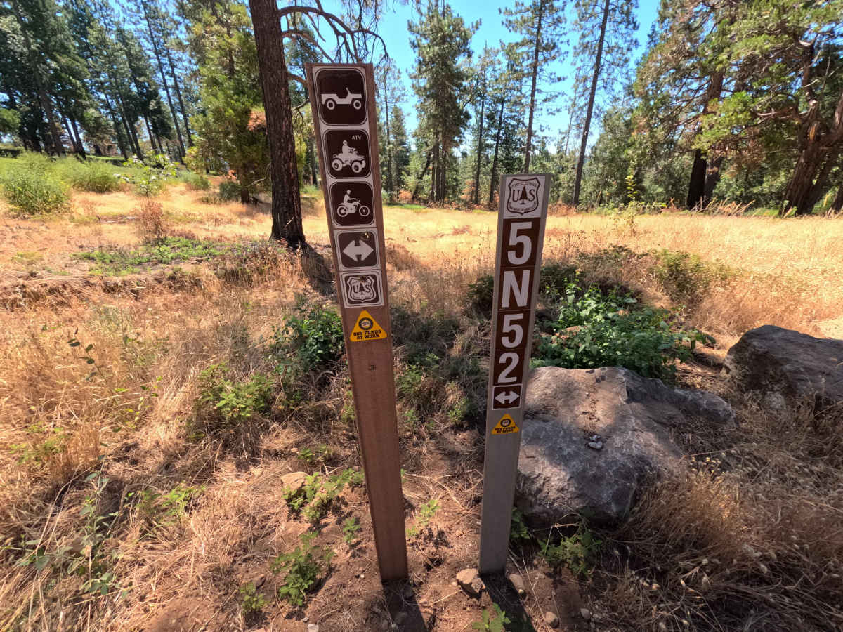
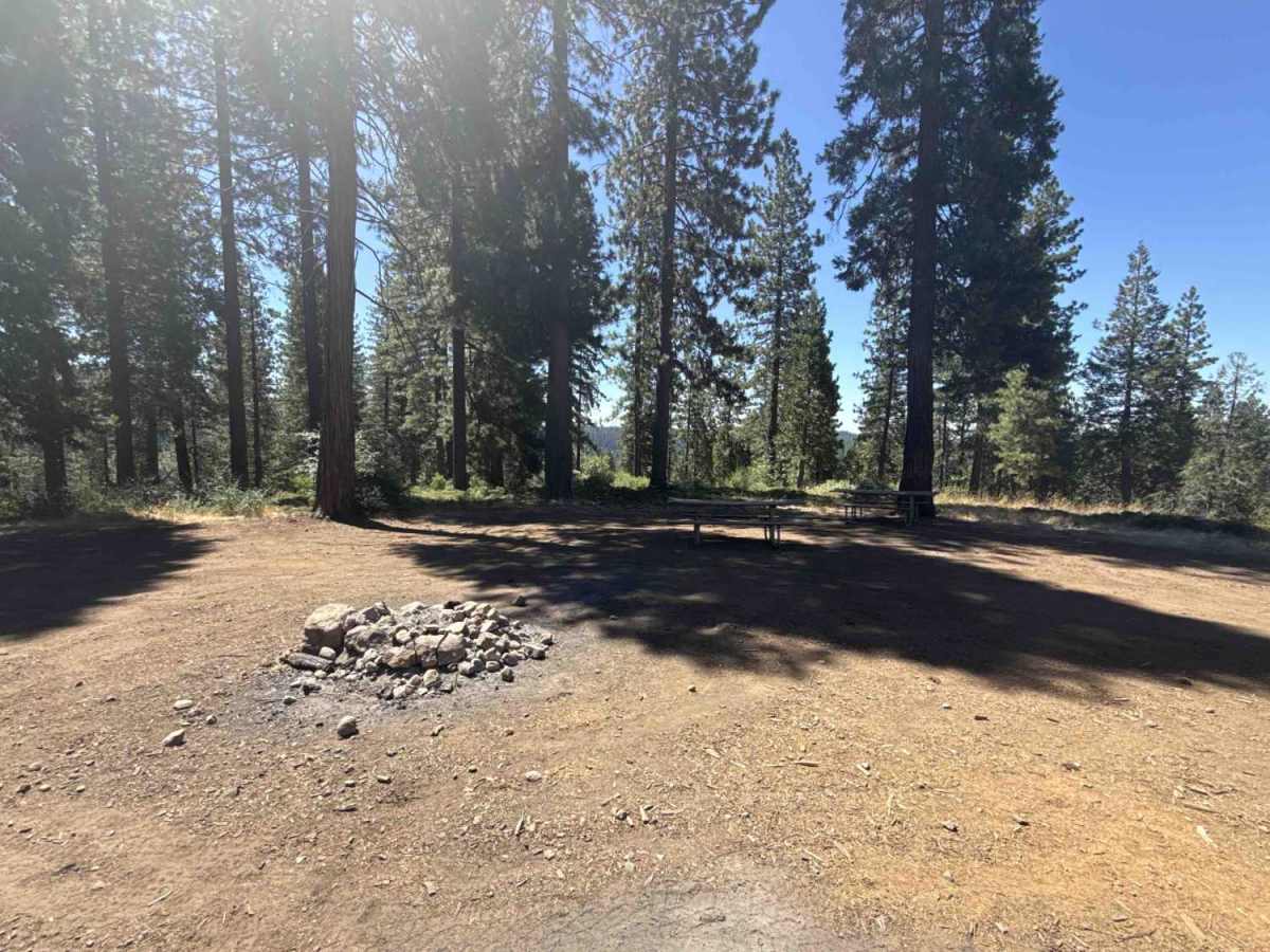
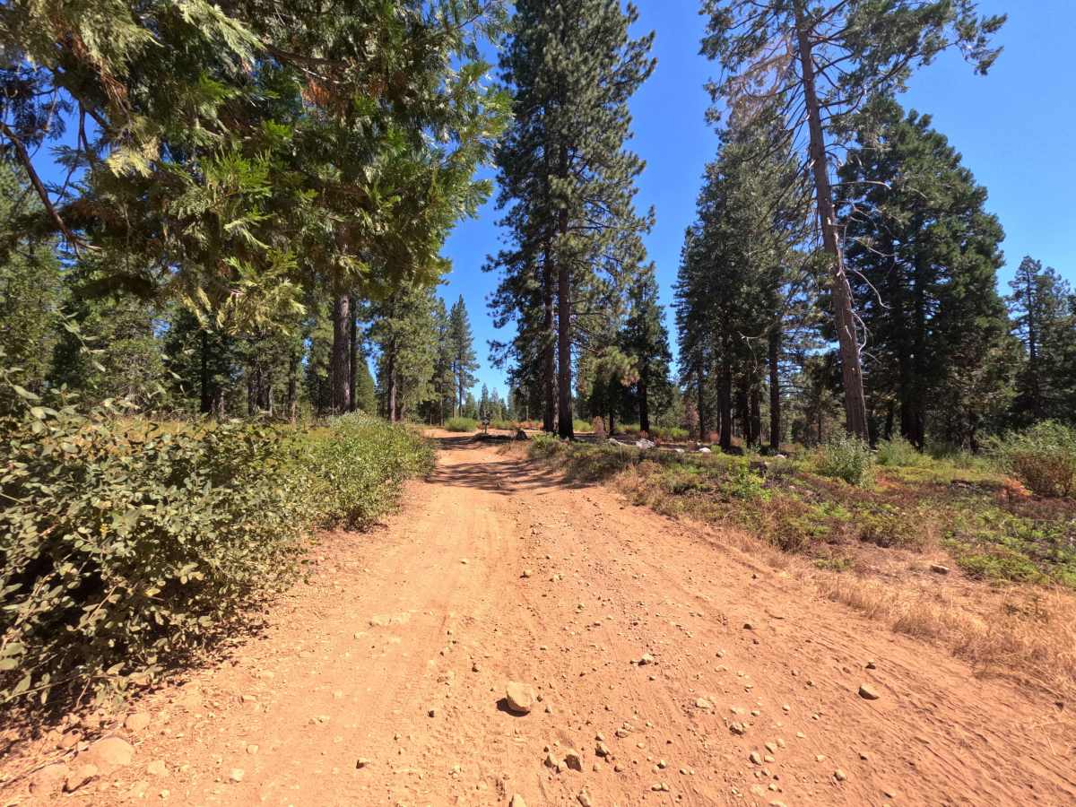
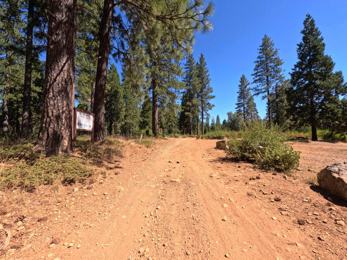
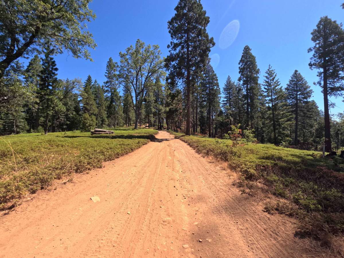
Forest Service Road 5N52 serves as an essential backcountry connector linking recreational staging areas, camping clearings, and branching motorized routes within the Stanislaus National Forest. The route winds through a mixed-conifer woodland characterized by towering ponderosa pines, mature incense cedars, low evergreen brush, and sunlit forest openings. Consisting of a wide single-lane track of packed native earth and crushed gravel, the corridor maintains a gentle difficulty. Off-highway vehicle enthusiasts and campers frequently travel this passage to reach staging facilities, dispersed campsites, and technical motorized trails such as FS 5N41Y. The road provides a dependable and scenic woodland traverse connecting major recreation hubs across the district.
Difficulty
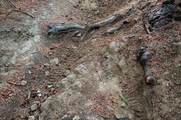
This trail offers an easy and non-technical drive over hard-packed dirt and fine gravel. Surface conditions are predictable, featuring only mild grade transitions, minor drainage dips, and light loose stone along the tread. There are no large ledges, impassable washouts, or severe clearance obstacles along the route. Maintaining a steady pace and choosing smooth lines through light washboard ripples ensures comfortable travel from either direction.

 Offroad