Trail Overview
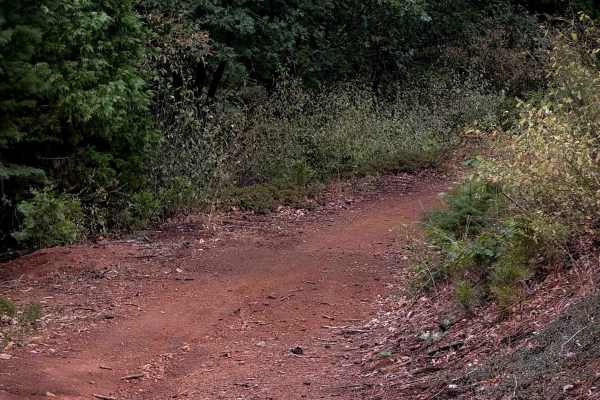
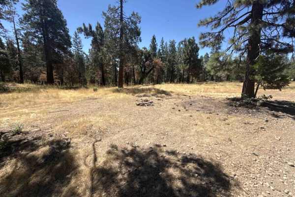
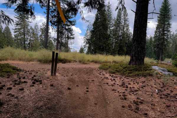
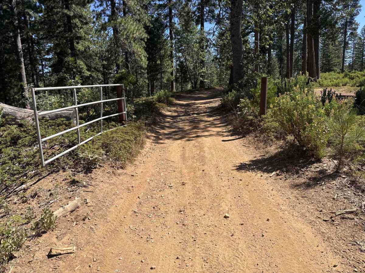
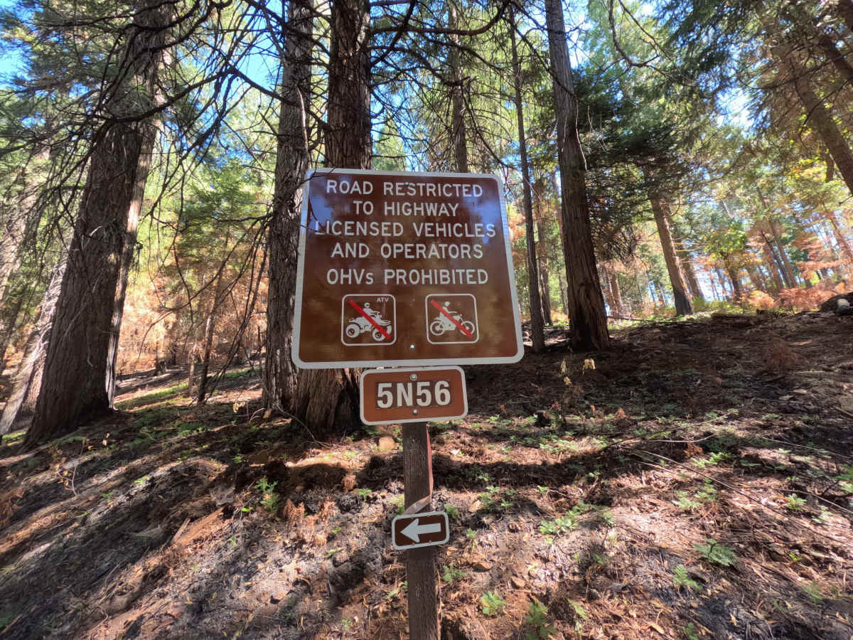
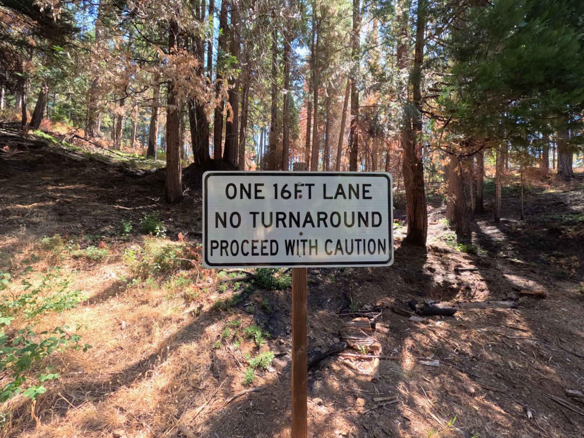
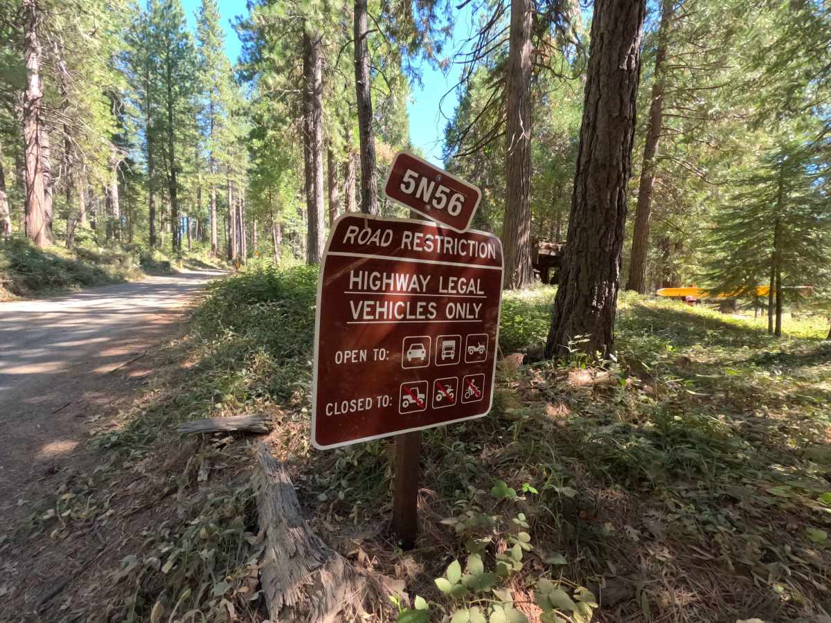
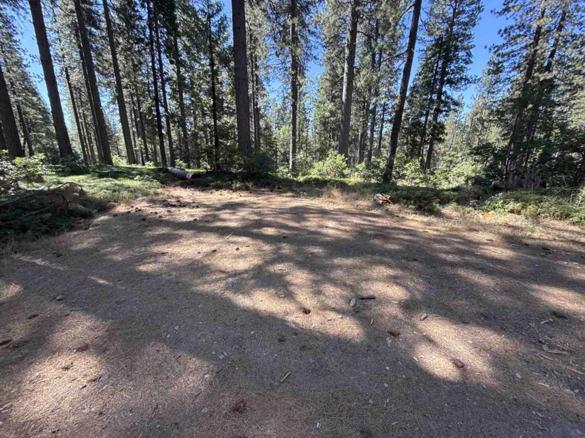
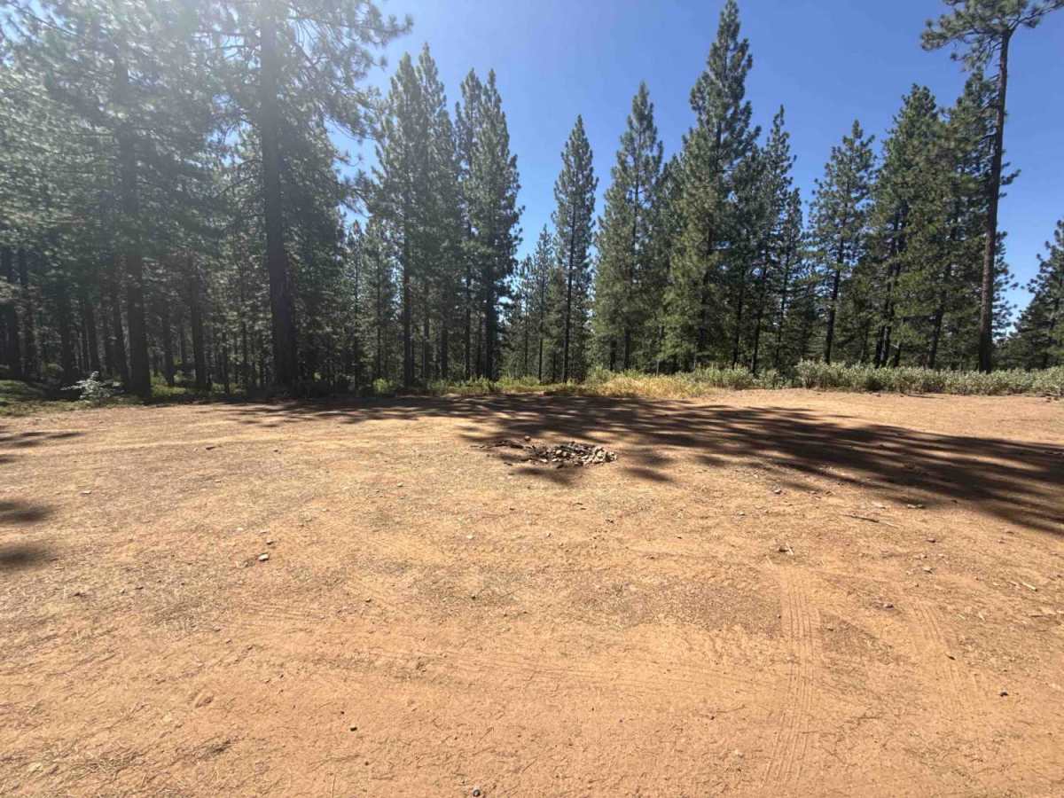
Connecting the White Pines Lake recreational area with neighboring backcountry routes, Forest Service Road 5N56 serves as an accessible forest thoroughfare within the Stanislaus National Forest. The route winds through a shaded mixed-conifer environment dominated by tall ponderosa pines, incense cedars, and verdant ground cover. Starting near the reservoir on a brief paved stretch, the pathway soon transitions into a wide single-lane packed dirt and gravel roadway. Designated exclusively for highway-legal vehicles, this corridor is commonly traveled by visitors reaching lakeside day-use activities, equestrian bypass paths, secluded dispersed camping clearings, and secondary forest service access points deeper in the district.
Difficulty
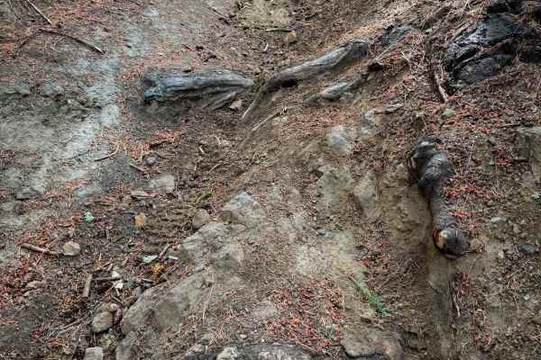
This route delivers a smooth and straightforward drive across a blend of pavement, packed earth, and coarse gravel. Elevation changes remain gentle throughout, presenting only minor surface ruts, shallow drainage dips, and light loose stone along the tread. Cleared fallen timber lines the shoulders without encroaching on the travel lane. Maintaining a controlled speed around tree-lined curves ensures effortless navigation and ample clearance across all unpaved segments.

 Offroad