
Beginner Off-Road Trails
Near Victor, Colorado
Explore All Beginner Trails Near Victor, Colorado
Beginner Off-Road Trails Near Victor, Colorado
Discover the best beginner-friendly off-road trails near you. These easier, lower-rated trails are a great place to start — browse trail maps, check difficulty ratings, and find your next adventure.
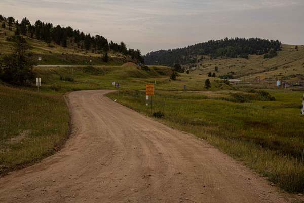
Shelf Road
Shelf Road is a heavily traveled network of trails beginning just south of Cripple Creek, offering a mix of steep, rugged terrain and historic scenery. The trail features old mines, ghost towns, and multiple 4x4 spur roads branching off near Sand Gulch and The Banks Campground, one of Colorado’s mos...
Learn more about Shelf Road
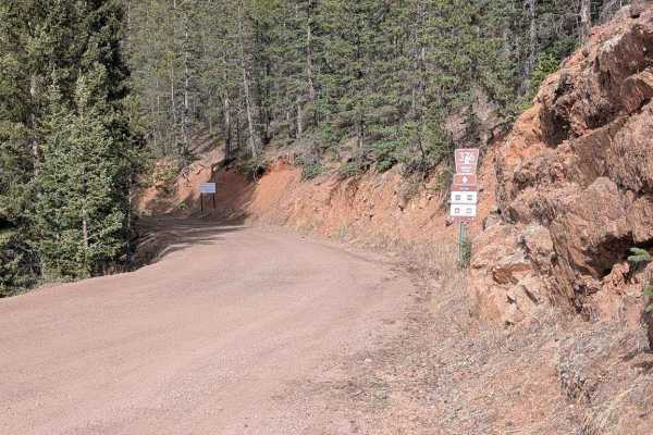
Seven Lakes Road
Seven Lakes Road branches off from Gold Camp Road and is typically very well-maintained. While more of a road than a trail most of the time, it leads to both Bull Park Rd and Frosty Park Road. From Gold Camp Road to the Colorado Springs Utilities' gate, you'll gain just over 1,300' in just over thre...
Learn more about Seven Lakes Road
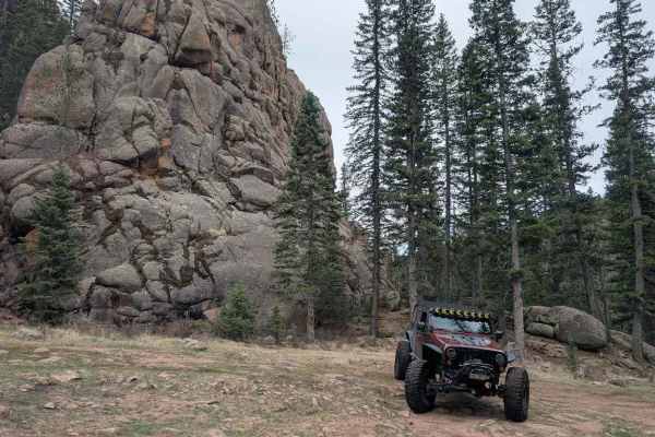
Gould Creek Road
This out-and-back trail descends from Gold Camp Road into a peaceful, quiet valley with a small creek running alongside most of the way. There are occasional off-camber rocky sections, but nothing too challenging for those with some off-road experience. Once you reach the valley floor, take in the v...
Learn more about Gould Creek Road
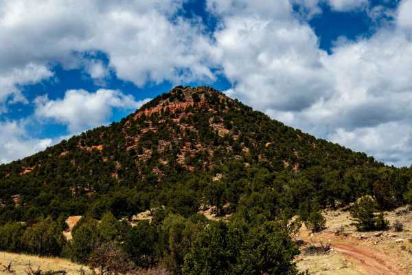
The Banks BLM Road 5820
The road is easy at the beginning and gets rocker toward the top in several sections. The road is narrow for the first mile and on weekends the area is very busy. At the start, you travel down into a canyon with Great Cliffs, then opens up into high meadows with nice views.
Learn more about The Banks BLM Road 5820
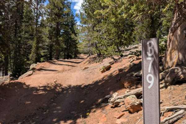
Frosty Park Road
Frosty Park Road is a fun trail to use as an alternate exit after running Eagle Rock or Mount Baldy Trails, or on its own from Seven Lakes Road (FS 376). The trail winds through heavy forest and in and out of wide open meadows. There are signs of prior tracks that are now closed or illegal, so be su...
Learn more about Frosty Park Road
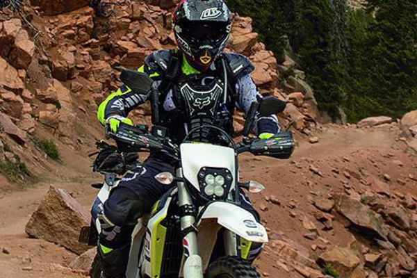
Mount Baldy
Mount Baldy (Forest Service Road 379) is an ideal route for intermediate offroaders seeking a scenic, high-elevation climb with panoramic views of the southern Front Range near Colorado Springs. This 6.2-mile dirt and rock trail begins near Rosemont Reservoir off Gold Camp Road and ascends over 2,05...
Learn more about Mount Baldy
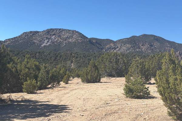
BLM 5830G
Easy to moderate short trail located outside of Canon City, CO. Out and back trail with great spots for dispersed camping. Dirt and gravel road winding through red rock formations and rolling high-desert terrain. At the end, the trail provides a hiking path to view a scenic overlook. The trail is li...
Learn more about BLM 5830G
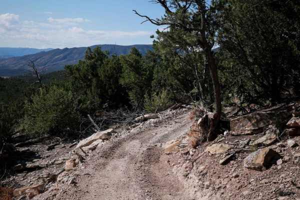
Maverick
Maverick Trail is 1.6 miles long, for vehicles 50" or less. The north end starts at a wooden pinch point and enters the pinyon pine trees. You have to duck under several branches when making many sharp turns and twisty curves through the trees. There are loose small pieces of rock in the trail, but ...
Learn more about Maverick
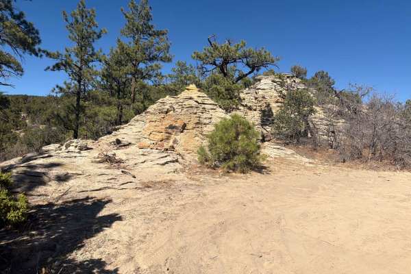
BLM 5830E
Easy-to-moderate trail located outside of Canon City, Colorado. Out-and-back trail with great spots for dispersed camping. Dirt, gravel, and sandy roads winding through red rock formations and rolling high-desert terrain. Two rock obstacles make this trail slightly more advanced for the beginner dri...
Learn more about BLM 5830E
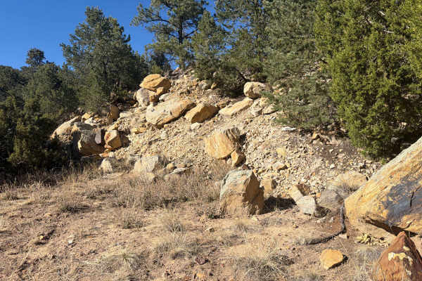
BLM 5830H
Easy-to-moderate short trail located outside of Canon City, Colorado. This out-and-back trail is great for dispersed camping. Dirt and gravel roads winding through rolling high-desert terrain. The area is lined with juniper bushes, sagebrush, and cacti, and features a unique rock wall at the end of ...
Learn more about BLM 5830H
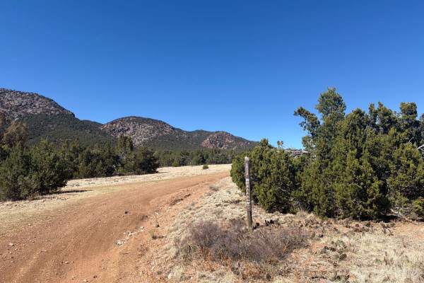
BLM 5830D
Easy to moderate trail located outside of Canon City, CO. Out and back trail with great spots for dispersed camping. dirt and gravel roads winding through red rock formations and rolling high-desert terrain. Expect mild climbs, sandy sections, and occasional rocky patches, with wide-open views towar...
Learn more about BLM 5830D
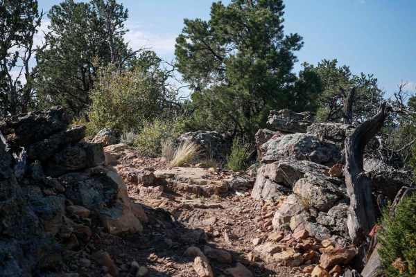
5830i
This short ATV trail through the Seep Springs Recreation Area connects 5830C to 5830G. The north end starts off narrower between the pinyon pine trees in the beginning. It goes along the edge of a mesa with good views of the mountains. It goes past a big rock wall lining the trail and several 6" tal...
Learn more about 5830i
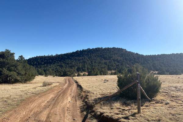
Garza Trail - BLM 5830B
Easy-to-moderate trail located outside of Canon City, Colorado. This is an out-and-back trail with great spots for dispersed camping. Dirt and gravel roads winding through rolling high-desert terrain. Expect mild climbs, sandy sections, and occasional rocky patches, with wide-open views toward the S...
Learn more about Garza Trail - BLM 5830B
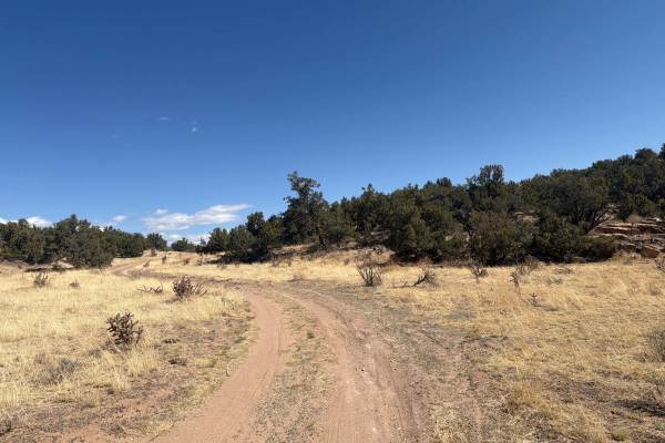
BLM 5935E
Easy, short trail located off Dinosaur Flats Road in the Garden Park Fossil area near Canon City, CO. The trail ends with an overlook with beautiful views of the area and provides a loop for turning around and a dispersed camping site. Avoid during rain, extreme mud when wet. Beautiful views of the ...
Learn more about BLM 5935E
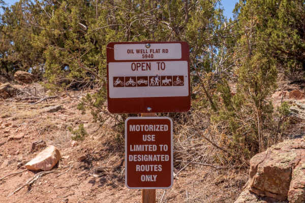
Oil well Flats RD BLM 5941
The road at the beginning is easy, about halfway you encounter a short rocky section. It gets easy until you get within about a 1/2 mile of the end where it drops down a fairly hard section to the end of the trail. A lot of camping spots along the way.
Learn more about Oil well Flats RD BLM 5941
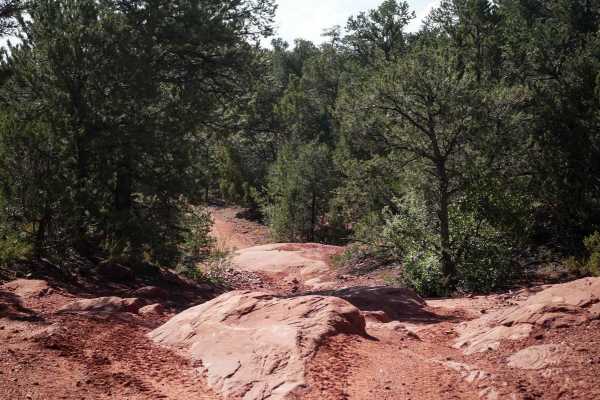
5830A
This trail starts directly out of the Seep Springs staging area, and will likely be the first trail you take if making a clockwise loop on all the ATV trails. It starts in a flat valley surrounded by pinyon pine trees and starts ascending up the mesa to connect with the Maverick Trail. As you ascend...
Learn more about 5830A
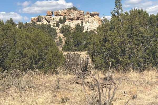
BLM 5935D
Easy, short trail located off Dinosaur Flats Road in the Garden Park Fossil area near Canon City, CO. The trail ends at an overlook of the area and provides a loop for turning around and a dispersed camping spot. Avoid during rain, extreme mud when wet. Beautiful views of the surrounding mountain ri...
Learn more about BLM 5935D
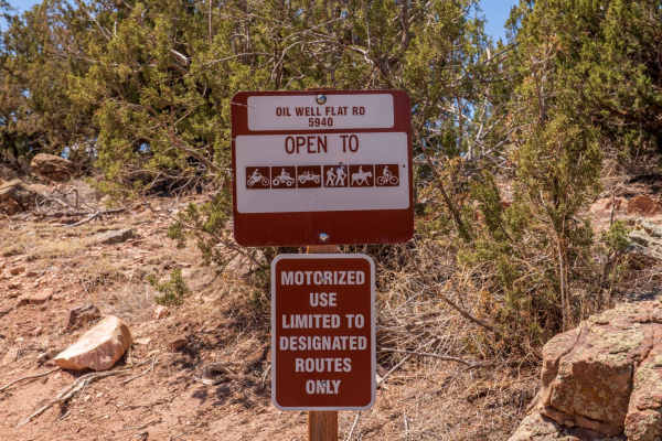
Oil Well Flats Road BLM 5940
The road is easy on the lower sections, however, it can get muddy after wet weather. On the upper section toward the end, there is a rocky area that requires high clearance. The road ends short of what is shown on the map at a gate. The area is busy on weekends.
Learn more about Oil Well Flats Road BLM 5940
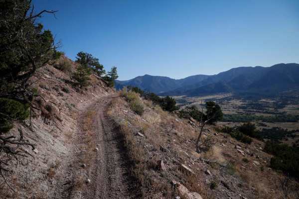
5830E
This ATV trail starts from the Seep Springs staging area, and starts curving through the pinyon trees with lots of very curvy turns tightly through the trees. There are a few sections with either loose rocks or bigger embedded rocks, but mostly it's a pretty smooth trail. It crosses a wash with a fe...
Learn more about 5830E
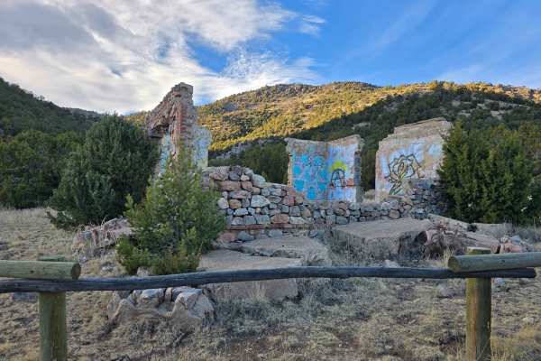
Seep Springs - BLM Route 5830
Seep Springs Recreation Area is a BLM‑managed network of dirt and gravel roads and trails north of Cañon City that wind through open high desert terrain, piñon‑juniper and ponderosa woodlands, and scattered sandstone outcroppings. With roughly 16 miles of interconnected routes, riders and drivers wi...
Learn more about Seep Springs - BLM Route 5830
Beginner ATV trails near Victor, Colorado
Explore ATV-friendly trails near you. These trails are accessible for vehicles up to 50 inches wide, perfect for ATVs and smaller off-road machines.
Gould Creek Road
This out-and-back trail descends from Gold Camp Road into a peaceful, quiet valley with a small creek running alongside most of the way. There are occasional off-camber rocky sections, but nothing too challenging for those with some off-road experience. Once you reach the valley floor, take in the v...
Learn more about Gould Creek Road
The Banks BLM Road 5820
The road is easy at the beginning and gets rocker toward the top in several sections. The road is narrow for the first mile and on weekends the area is very busy. At the start, you travel down into a canyon with Great Cliffs, then opens up into high meadows with nice views.
Learn more about The Banks BLM Road 5820
Frosty Park Road
Frosty Park Road is a fun trail to use as an alternate exit after running Eagle Rock or Mount Baldy Trails, or on its own from Seven Lakes Road (FS 376). The trail winds through heavy forest and in and out of wide open meadows. There are signs of prior tracks that are now closed or illegal, so be su...
Learn more about Frosty Park Road
Mount Baldy
Mount Baldy (Forest Service Road 379) is an ideal route for intermediate offroaders seeking a scenic, high-elevation climb with panoramic views of the southern Front Range near Colorado Springs. This 6.2-mile dirt and rock trail begins near Rosemont Reservoir off Gold Camp Road and ascends over 2,05...
Learn more about Mount Baldy
Beginner UTV/side-by-side trails near Victor, Colorado
Find UTV and side-by-side trails near you. These trails accommodate vehicles up to 60 inches wide, ideal for UTVs, side-by-sides, and wider off-road rigs.
Gould Creek Road
This out-and-back trail descends from Gold Camp Road into a peaceful, quiet valley with a small creek running alongside most of the way. There are occasional off-camber rocky sections, but nothing too challenging for those with some off-road experience. Once you reach the valley floor, take in the v...
Learn more about Gould Creek Road
The Banks BLM Road 5820
The road is easy at the beginning and gets rocker toward the top in several sections. The road is narrow for the first mile and on weekends the area is very busy. At the start, you travel down into a canyon with Great Cliffs, then opens up into high meadows with nice views.
Learn more about The Banks BLM Road 5820
Frosty Park Road
Frosty Park Road is a fun trail to use as an alternate exit after running Eagle Rock or Mount Baldy Trails, or on its own from Seven Lakes Road (FS 376). The trail winds through heavy forest and in and out of wide open meadows. There are signs of prior tracks that are now closed or illegal, so be su...
Learn more about Frosty Park Road
Mount Baldy
Mount Baldy (Forest Service Road 379) is an ideal route for intermediate offroaders seeking a scenic, high-elevation climb with panoramic views of the southern Front Range near Colorado Springs. This 6.2-mile dirt and rock trail begins near Rosemont Reservoir off Gold Camp Road and ascends over 2,05...
Learn more about Mount Baldy
The onX Offroad Difference
onX Offroad combines trail photos, descriptions, difficulty ratings, width restrictions, seasonality, and more in a user-friendly interface. Available on all devices, with offline access and full compatibility with CarPlay and Android Auto. Discover what you're missing today!
Open Trail Map