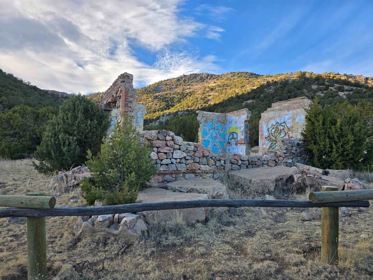
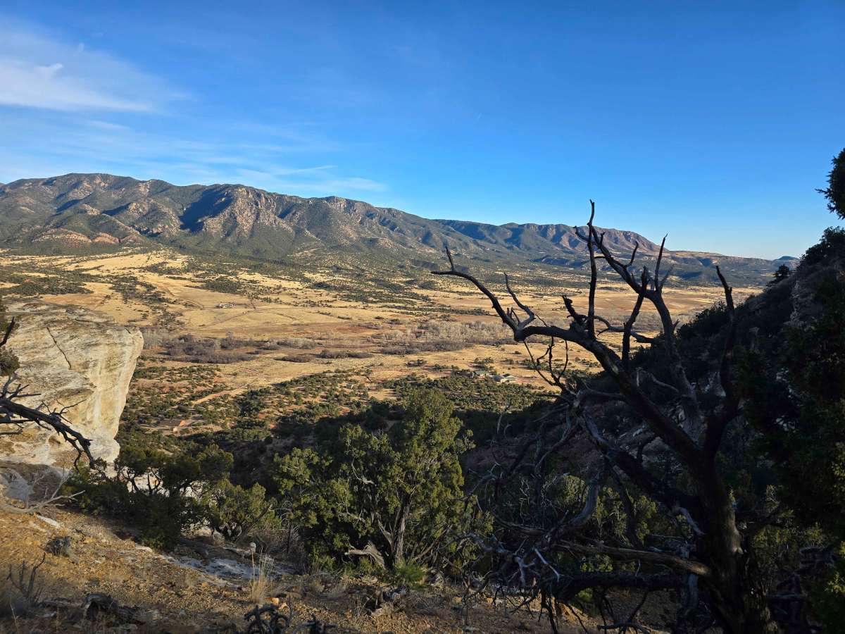
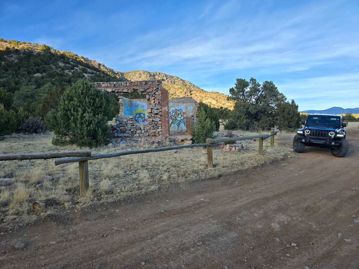
Trail Overview
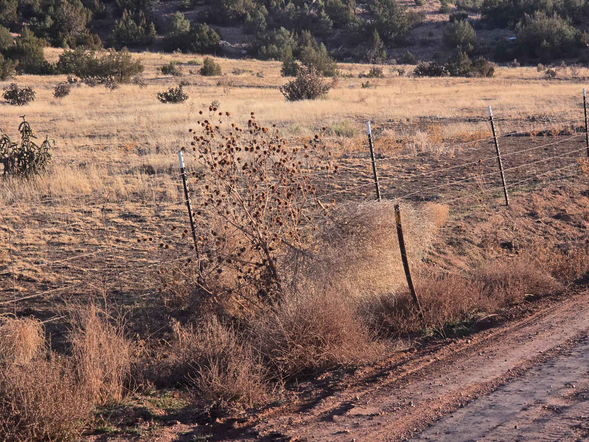
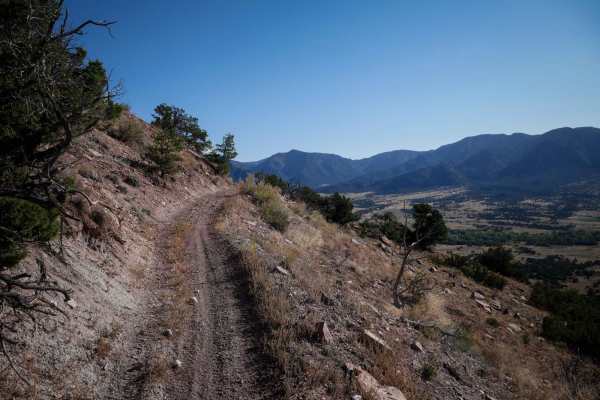
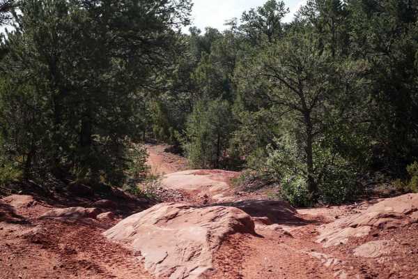
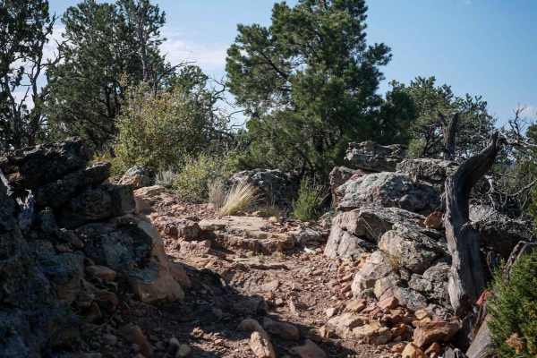
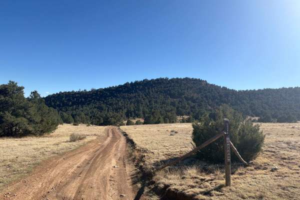
Seep Springs Recreation Area is a BLM‑managed network of dirt and gravel roads and trails north of Cañon City that wind through open high desert terrain, piñon‑juniper and ponderosa woodlands, and scattered sandstone outcroppings. With roughly 16 miles of interconnected routes, riders and drivers will experience gentle hills, rolling terrain, and scenic overlooks that gradually climb and descend, making the area fun and accessible for newer four‑wheel drivers and OHV riders alike. The open landscape offers broad views across mixed woodlands and rock formations, with plenty of side routes and spur trails to explore, and ample parking for trailers at the trailhead. During wet conditions, the area may close at seasonal gates to protect the soil and trails.
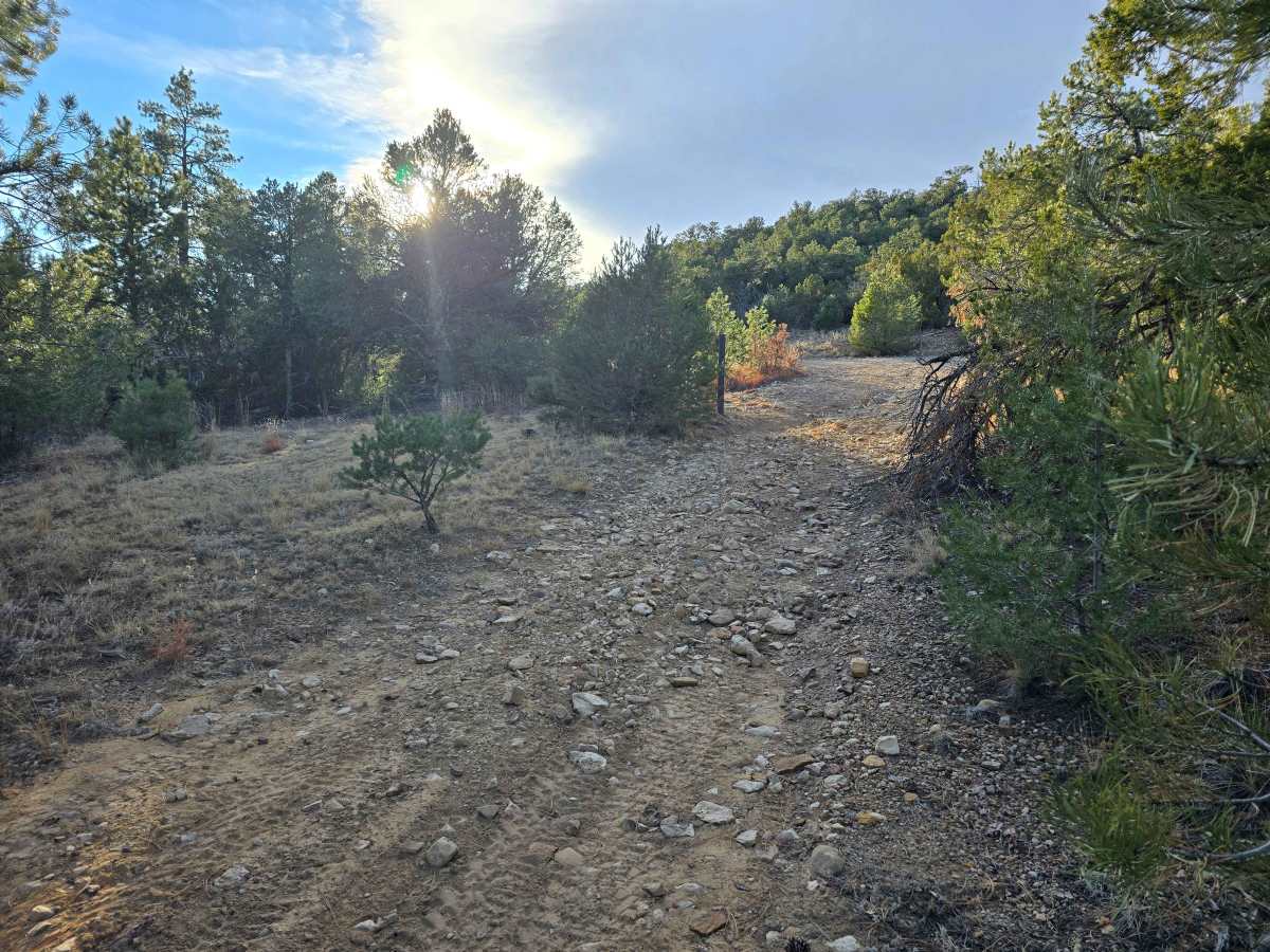
Difficulty
Seep Springs features mostly dirt and gravel roads with gentle hills, rolling terrain, and occasional loose rock. The trails are generally wide and manageable for full-size vehicles, making the area suitable for newer four-wheel drivers. Some narrow or uneven sections require slow, careful driving, and conditions can become slippery after rain. Overall, the area provides a low-risk introduction to backcountry driving while offering scenic views and multiple routes to explore.