
Beginner Off-Road Trails
Near Umapine, Oregon
Explore All Beginner Trails Near Umapine, Oregon
Beginner Off-Road Trails Near Umapine, Oregon
Discover the best beginner-friendly off-road trails near you. These easier, lower-rated trails are a great place to start — browse trail maps, check difficulty ratings, and find your next adventure.
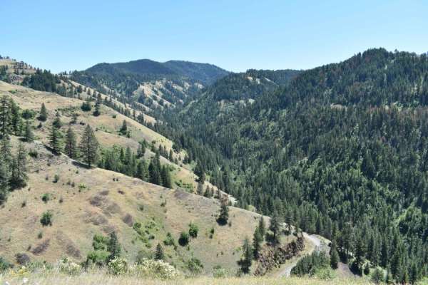
Tiger Creek
Tiger Creek is a scenic, 12.9-mile unpaved mountain route through the Umatilla National Forest, beginning south of Kooskooskie, Washington. The road follows the Tiger Creek drainage, climbing over 3,600 feet through dense forest and switchbacks with views of the Blue Mountains. Highly approachable w...
Learn more about Tiger Creek
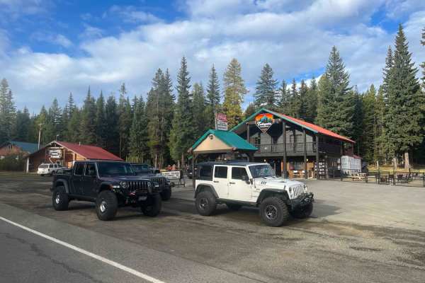
Bone Springs
This trail takes you from Highway 204 to Tiger Creek, past Bone Springs warming shed. It's generally a two-track forest road with lots of cobbled rock and sections of deep ruts and potholes. The trail is easily passable with reasonable ground clearance and good all-terrain type tires. Jubilee Lake ...
Learn more about Bone Springs
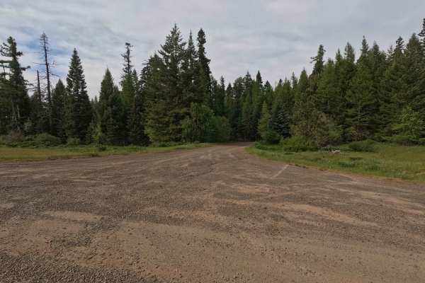
Corporation Road - FS 32
Corporation Road South is a 7.4-mile out-and-back route due to a large washout that has rendered the road impassable to most vehicles and prevents through travel to Pendleton. The route descends 2000 feet into a canyon before following a creek, with a sharp shale rock surface that can be rough on ve...
Learn more about Corporation Road - FS 32
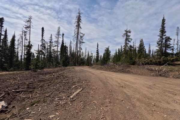
Kendall Skyline - FS 6403
Kendall Skyline is an 11.4-mile point-to-point single-lane gravel road. The route can be rough in places, with sections of rutting, mud, and narrow segments that make travel more challenging and unsuitable for low-clearance vehicles. Along the way, there are numerous viewpoints and dispersed camping...
Learn more about Kendall Skyline - FS 6403
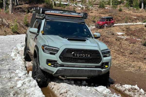
Jubilee
This is an 8.2-mile beginning chunk of the Jubilee Trail. The very beginning starts off pretty easy with a wide, primarily dirt road, however, turns to a more challenging narrow rutted section before starting to even out again. My 4 runner and my buddy's Tacoma did not have any issues width-wise, bu...
Learn more about Jubilee
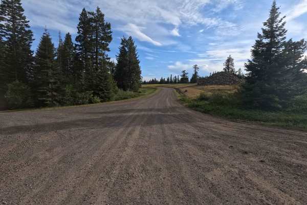
Skyline Road - FS 31
Skyline Road is a 29.3-mile point-to-point route that begins as a well-maintained two-lane gravel road before narrowing to a single-lane section at higher elevations, where the surface becomes rougher. The route climbs to approximately 5,816 feet, crossing multiple saddles along high ridgelines with...
Learn more about Skyline Road - FS 31
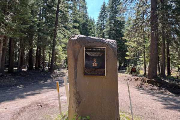
Kendall Monument Trail
This route travels from the Kendall Monument to NF-64. It runs in either direction but is closed in the winter. It's not a difficult or technical trail, but it is slow-going due to potholes and generally rocky trail surfaces throughout. The southern end is accessible directly off of Touchet Road, an...
Learn more about Kendall Monument Trail
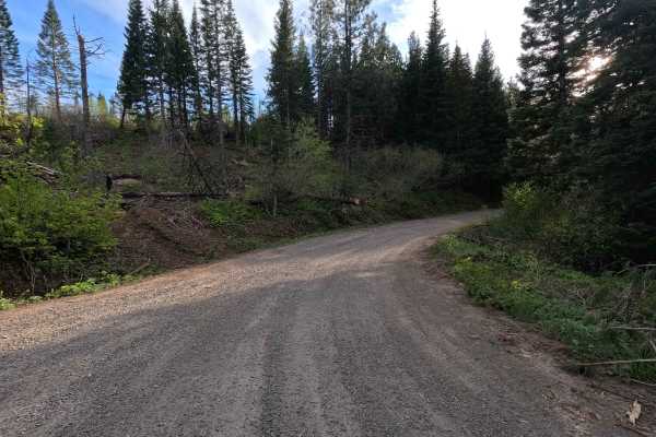
Black Mountain - FS 3128
Black Mountain Road is a 17.9-mile out-and-back single-lane gravel route. The road is tight and brushy in sections, with areas of larger gravel and occasional potholes that make it unsuitable for low-clearance vehicles. Along the route, there are numerous viewpoints, spur roads, and dispersed campin...
Learn more about Black Mountain - FS 3128
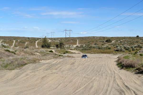
North Spur Road
This road is a mix of hard pack and sandy washes. This road is one of the spurs that lead into the north part of the Juniper Dunes Open OHV Riding area. The road is one lane and has multiple steep blind inclines and declines, as well as multiple offshoots. The further you follow the road, the more s...
Learn more about North Spur Road
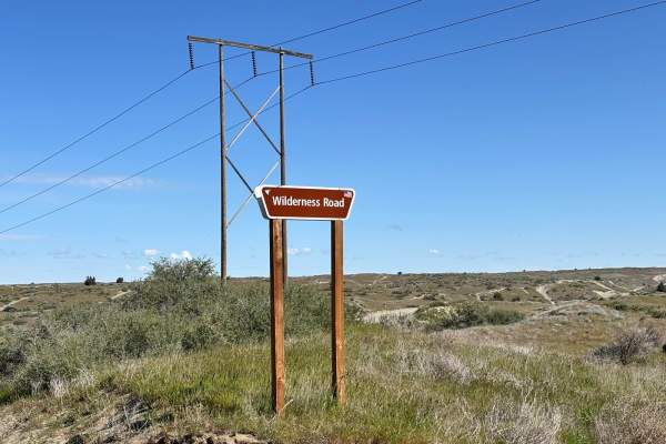
Wilderness Road
This is a one-lane route that takes you to the gate for the Juniper Dunes Wilderness Area. It is a tight, twisty, curvy, and sandy route that is a lot of fun if you have a machine that is designed to run in the desert. The trail has tight off-camber blind corners with some steep inclines and decline...
Learn more about Wilderness Road
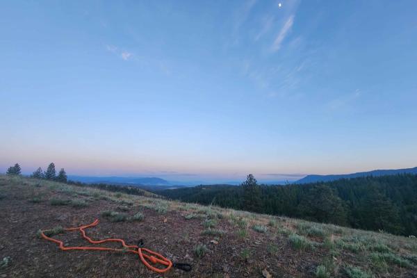
Craig's Cabin Road
Craig's Cabin Road is a just under 4-mile trail within Umatilla Forest. This trail is an offshoot of Phillips Creek. The primary trail material is dirt and small loose gravel. This route has a few run-off ruts that are easy to navigate. There is also a small washout section further down the trail. T...
Learn more about Craig's Cabin Road
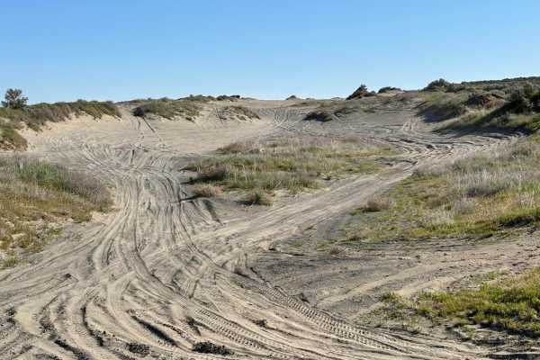
Juniper Dunes Road
This is a hard-packed, very worn-out road that is the main in and out of the Juniper Dunes OHV area. The road itself is mostly compacted desert hardpan with sandy washes mixed in. There are long stretches of whoops that will take quads, standard 4x4s, and utility-style SXSs much longer to go through...
Learn more about Juniper Dunes Road
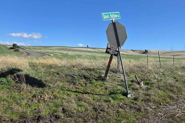
Davis Hollow Road
Davis Hollow Road is a narrow dirt road that is closed seasonally and is easily accessible by most vehicles during dry conditions. This road follows a small creek drainage for about 4 miles between Eckler Mountain Road and North Touchet Road. There are a few spots wide enough to pass oncoming vehic...
Learn more about Davis Hollow Road
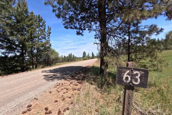
Looking Glass - FS 63
Looking Glass is a 10.2-mile point-to-point route that begins at the end of the highway, descending early into a canyon as a wide gravel road before reaching Looking Glass Creek. The first 5.3 miles follow a Forest Service right-of-way through several parcels of private property. Beyond this section...
Learn more about Looking Glass - FS 63

Jump Off Joe - South
Jump Off Joe is a butte in the Horse Heaven Hills south of Kennewick, Washington, and is visible throughout much of the region. The roads leading up are public roads, but are primitive with no warning signs, and can be steep with sudden, sharp turns. It's a rather scenic drive through a portion of t...
Learn more about Jump Off Joe - South
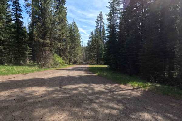
FS 6234
FS 6234 is a 3.4-mile out-and-back single-lane gravel road. The route features some potholes and passes several parcels of private property. Multiple gates are present along the road, though no closure dates are posted. Numerous spur trails branch off the main route, all of which are subject to seas...
Learn more about FS 6234

Jump Off Joe - North
Jump Off Joe is a butte in the Horse Heaven Hills south of Kennewick, Washington, and is visible throughout much of the region. The roads leading up are public roads, but are primitive with no warning signs, and can be steep with sudden, sharp turns. It's a rather scenic drive through a portion of t...
Learn more about Jump Off Joe - North
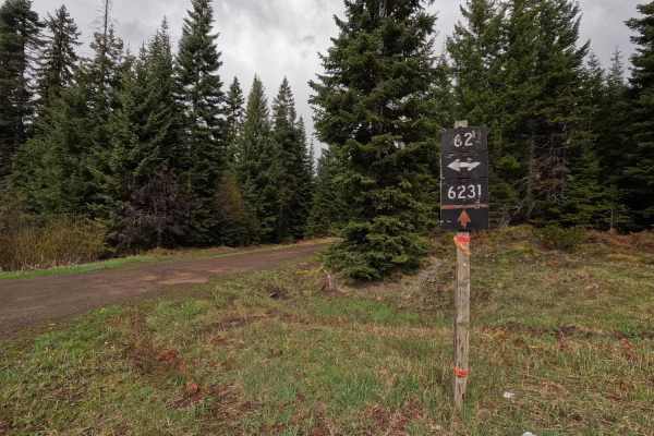
Palmer Junction - FS 6231
Palmer Junction is a 4.6-mile point-to-point, well-maintained, single-lane gravel road. Starting at an intersection with FS 62, Palmer Junction provides access to several spur trails, along with the Fry Meadows Guard Station, before ending at the border between the Umatilla National Forest and priva...
Learn more about Palmer Junction - FS 6231
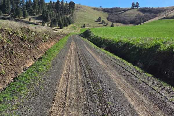
Range Grade Road
This single-lane dirt road is a nice little connector between Patit Road to the north and Eckler Mountain Rd to the south. It is closed seasonally, and there are signs at each end to notify of its status, but it can be traveled by most vehicles mid-year when conditions are dry. When wet, however, th...
Learn more about Range Grade Road
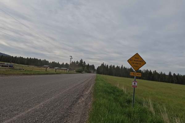
Ruckel Road - FS 32
Ruckle Road is a 9.9-mile point-to-point route that begins as a wide gravel road before narrowing to a single-lane track. The first 4.3 miles pass through several parcels of private property, after which the route continues onto public land. As the road climbs, conditions become rougher toward the u...
Learn more about Ruckel Road - FS 32
Beginner ATV trails near Umapine, Oregon
Explore ATV-friendly trails near you. These trails are accessible for vehicles up to 50 inches wide, perfect for ATVs and smaller off-road machines.
Tiger Creek
Tiger Creek is a scenic, 12.9-mile unpaved mountain route through the Umatilla National Forest, beginning south of Kooskooskie, Washington. The road follows the Tiger Creek drainage, climbing over 3,600 feet through dense forest and switchbacks with views of the Blue Mountains. Highly approachable w...
Learn more about Tiger Creek
Kendall Skyline - FS 6403
Kendall Skyline is an 11.4-mile point-to-point single-lane gravel road. The route can be rough in places, with sections of rutting, mud, and narrow segments that make travel more challenging and unsuitable for low-clearance vehicles. Along the way, there are numerous viewpoints and dispersed camping...
Learn more about Kendall Skyline - FS 6403
Jubilee
This is an 8.2-mile beginning chunk of the Jubilee Trail. The very beginning starts off pretty easy with a wide, primarily dirt road, however, turns to a more challenging narrow rutted section before starting to even out again. My 4 runner and my buddy's Tacoma did not have any issues width-wise, bu...
Learn more about Jubilee
Black Mountain - FS 3128
Black Mountain Road is a 17.9-mile out-and-back single-lane gravel route. The road is tight and brushy in sections, with areas of larger gravel and occasional potholes that make it unsuitable for low-clearance vehicles. Along the route, there are numerous viewpoints, spur roads, and dispersed campin...
Learn more about Black Mountain - FS 3128
Beginner UTV/side-by-side trails near Umapine, Oregon
Find UTV and side-by-side trails near you. These trails accommodate vehicles up to 60 inches wide, ideal for UTVs, side-by-sides, and wider off-road rigs.
Tiger Creek
Tiger Creek is a scenic, 12.9-mile unpaved mountain route through the Umatilla National Forest, beginning south of Kooskooskie, Washington. The road follows the Tiger Creek drainage, climbing over 3,600 feet through dense forest and switchbacks with views of the Blue Mountains. Highly approachable w...
Learn more about Tiger Creek
Kendall Skyline - FS 6403
Kendall Skyline is an 11.4-mile point-to-point single-lane gravel road. The route can be rough in places, with sections of rutting, mud, and narrow segments that make travel more challenging and unsuitable for low-clearance vehicles. Along the way, there are numerous viewpoints and dispersed camping...
Learn more about Kendall Skyline - FS 6403
Jubilee
This is an 8.2-mile beginning chunk of the Jubilee Trail. The very beginning starts off pretty easy with a wide, primarily dirt road, however, turns to a more challenging narrow rutted section before starting to even out again. My 4 runner and my buddy's Tacoma did not have any issues width-wise, bu...
Learn more about Jubilee
Black Mountain - FS 3128
Black Mountain Road is a 17.9-mile out-and-back single-lane gravel route. The road is tight and brushy in sections, with areas of larger gravel and occasional potholes that make it unsuitable for low-clearance vehicles. Along the route, there are numerous viewpoints, spur roads, and dispersed campin...
Learn more about Black Mountain - FS 3128
The onX Offroad Difference
onX Offroad combines trail photos, descriptions, difficulty ratings, width restrictions, seasonality, and more in a user-friendly interface. Available on all devices, with offline access and full compatibility with CarPlay and Android Auto. Discover what you're missing today!
Open Trail Map