
Beginner Off-Road Trails
Near South Fulton, Georgia
Explore All Beginner Trails Near South Fulton, Georgia
Beginner Off-Road Trails Near South Fulton, Georgia
Discover the best beginner-friendly off-road trails near you. These easier, lower-rated trails are a great place to start — browse trail maps, check difficulty ratings, and find your next adventure.
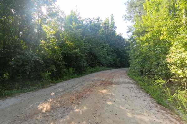
Bear Creek Road
This is a county-maintained road, primarily gravel with some dirt sections where washouts have occurred. The road is generally smooth and suitable for most vehicles. It serves as an easy and scenic route, part of a network of back roads ideal for a relaxing day drive. The road is mostly double-lane ...
Learn more about Bear Creek Road
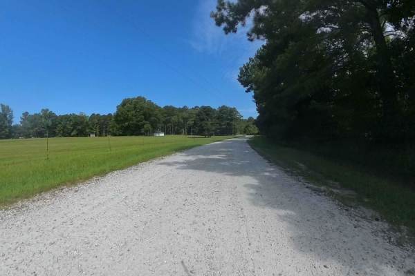
Bishop Road
This is a county-maintained road, primarily gravel with some dirt sections where washouts have occurred. The north side of Bishop Road off of Strickland Town Road is an out-and-back with a small turnaround in a private driveway. The south side continues to other roads. The road is generally smooth ...
Learn more about Bishop Road
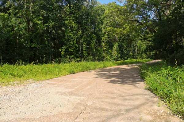
Rocky Mountain Road
This county-maintained road is primarily gravel with some dirt sections, especially where washouts have occurred. It features two small concrete bridges crossing creeks, one of which may flood during heavy rainfall and potentially overtake the road. Despite these spots, the road is generally smooth ...
Learn more about Rocky Mountain Road
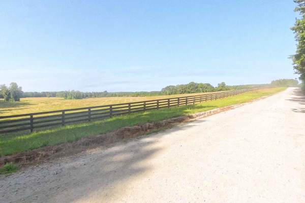
East Rocky Mountain Road
This is a county-maintained road, primarily gravel with some dirt sections where washouts have occurred. The road is generally smooth and suitable for most vehicles. It serves as an easy and scenic route, part of a network of back roads ideal for a relaxing day drive. Please note that while this is ...
Learn more about East Rocky Mountain Road
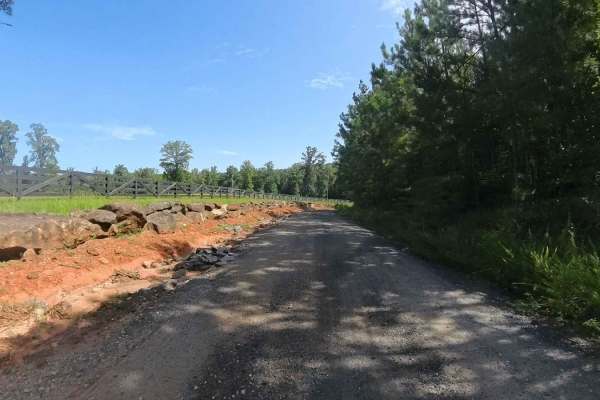
Whitten Lane
This is a county-maintained road, primarily gravel with some dirt sections where washouts have occurred. The road is generally smooth and suitable for most vehicles. It serves as an easy and scenic route, part of a network of back roads ideal for a relaxing day drive. The road is mostly single-lane,...
Learn more about Whitten Lane
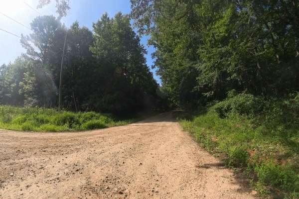
Bethel Church Road
This county-maintained road offers a smooth and easy drive, primarily composed of gravel with occasional dirt sections where washouts have occurred. It's generally suitable for most vehicles and is part of a network of scenic back roads--perfect for a relaxing day trip. The road is mostly two-lane w...
Learn more about Bethel Church Road
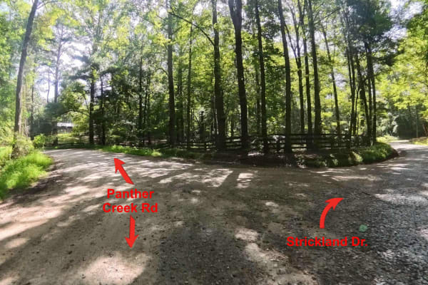
Strickland Drive
This is a county-maintained road, primarily gravel with some dirt sections. This mostly two lane road is generally smooth and suitable for most vehicles. It serves as an easy and scenic route, part of a network of back roads ideal for a relaxing day drive. Please note that while this is a public roa...
Learn more about Strickland Drive
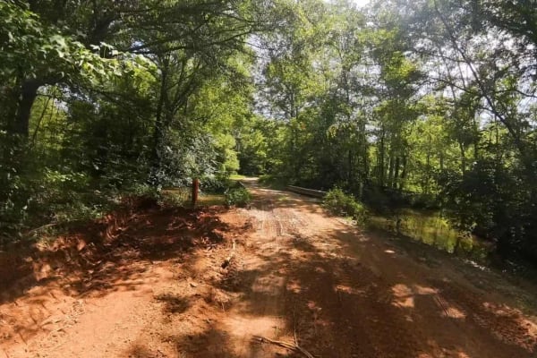
Moss Road
This is a county-maintained road, primarily gravel with some dirt sections where washouts have occurred. Roughly 500 yards after the pavement ends coming from Aviation Drive, there is a small concrete bridge with a very narrow and soft dirt/mud area that is very close to a drop-off into water on the...
Learn more about Moss Road
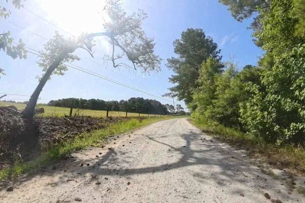
Lion Lane
This is a county-maintained road, primarily gravel with a large dirt section where washouts have occurred. At the south entrance, the road is a very nicely maintained gravel road, but on the opposite side is very rough and washed, creating a rough ride. It serves as an easy and scenic route, part of...
Learn more about Lion Lane
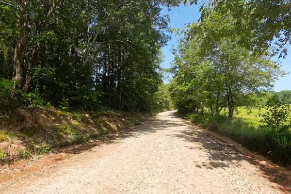
Panther Creek Road
This is a county-maintained road, primarily gravel with some dirt sections where washouts have occurred. The road is generally smooth and suitable for most vehicles. It serves as an easy and scenic route, part of a network of back roads ideal for a relaxing day drive. The road is mostly single lane ...
Learn more about Panther Creek Road
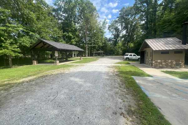
Dean Road
Located along the scenic Chattahoochee River in Heard County, Bush Head Shoals Access Park offers visitors a peaceful retreat into nature with a variety of outdoor amenities. The park features a well-maintained, easy gravel trail that follows an out-and-back route. Multiple parking areas provide co...
Learn more about Dean Road
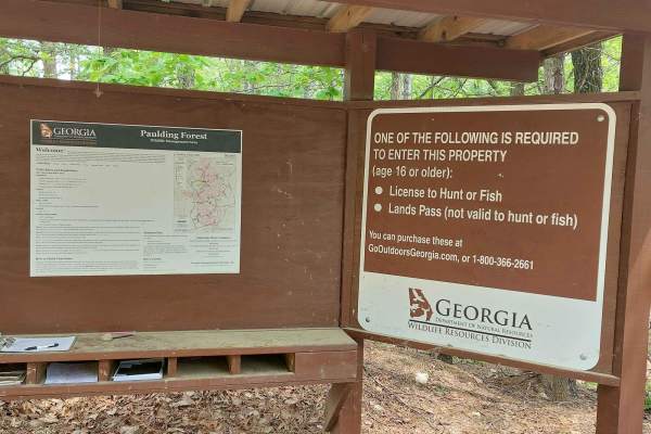
Iron Stab
This trail is on National Forest land. A hunting/fishing license or land pass is required to enter. Expect beautiful wooden views during spring and summer. The trail is half gravel and half dirt; rain will create a few washout ruts and some mud sections. There's a deep water pit with a mud bottom lo...
Learn more about Iron Stab
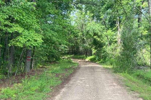
Edwards Road
Located near Franklin, Georgia, in Heard County, this rural county-maintained road is one of the West Point Wildlife Management Area (WMA) entrances. While publicly accessible, it is not a priority route for resurfacing and can become challenging during or after wet weather. Roughly 300 yards from G...
Learn more about Edwards Road
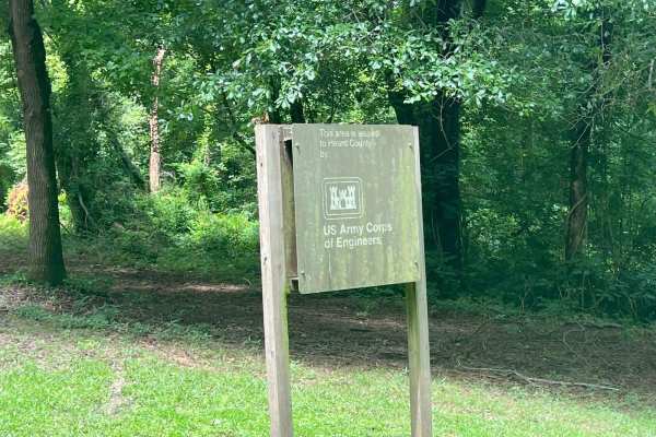
South River Road
Located near Franklin, Georgia, in Heard County, this road is part of the West Point Wildlife Management Area (WMA). It is primarily a single-lane dirt road with minor washouts and optional muddy or water-filled sections, suitable for higher-clearance vehicles or off-road exploration. Roughly 300 ya...
Learn more about South River Road
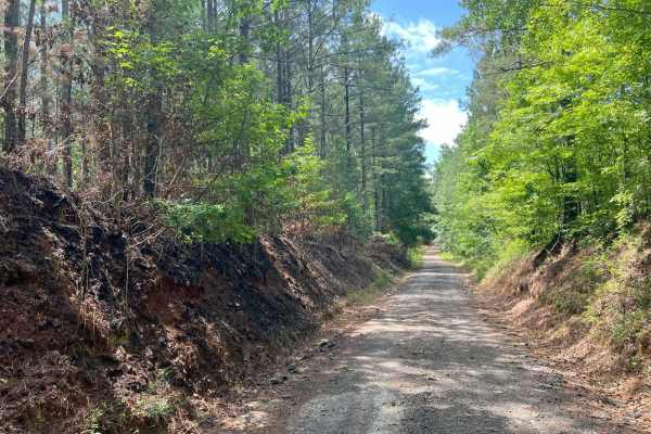
Pike Road
Located near Franklin, Georgia, in Heard County, this .6 miles of rural, county-maintained road serves as one of the entrances to the West Point Wildlife Management Area (WMA), which continues for 3.2 additional miles. Though publicly accessible, it is not a priority for resurfacing and can become c...
Learn more about Pike Road
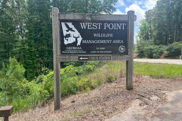
Whitley Road
Located just north of LaGrange, Georgia, in Troup County, this road serves as one of the western entrances to the West Point Wildlife Management Area (WMA), situated on the west side of West Point Lake. This is an out-and-back road, meaning you'll need to turn around and exit the way you came in. Th...
Learn more about Whitley Road
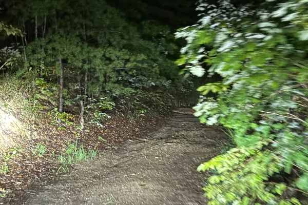
Fire Mountain Road
All dirt road with a few 1-foot rock areas in the pathway, but nothing serious and no off-camber areas. This is all dirt trail that has private properties on both sides. This trail will take you from Treat Mountain back to Highway 278.
Learn more about Fire Mountain Road
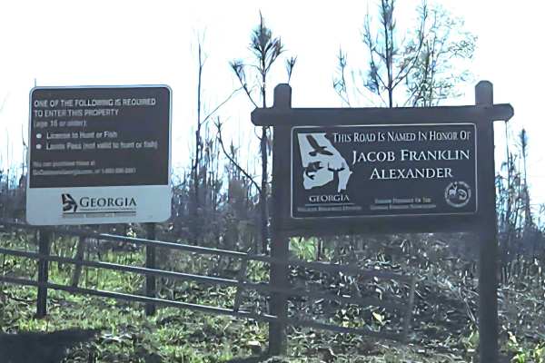
Alexander Hollow Trail
Alexander Hollow Trail in the Jacob Franklin Alexander tract of Sprewell Bluff Wildlife Management Area follows a canopy below the ridgeline in the scenic foothills. This 2.5-mile out-and-back gravel and dirt route has little rutting and washouts along the route, with some ridge grass growth along t...
Learn more about Alexander Hollow Trail
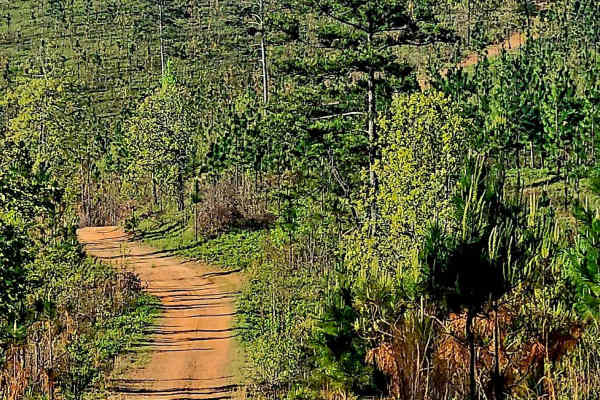
Alexander Ridge Trail
This mostly gravel with packed dirt single trail winds 4.4 miles in-and-back through Sprewell Bluff WMA across rolling ridges and foothills near the Flint River. Expect steep climbs, sharp descents, ruts, wash-outs, and loose rocky terrain. Scenic vistas reward the effort, with the landscape changin...
Learn more about Alexander Ridge Trail
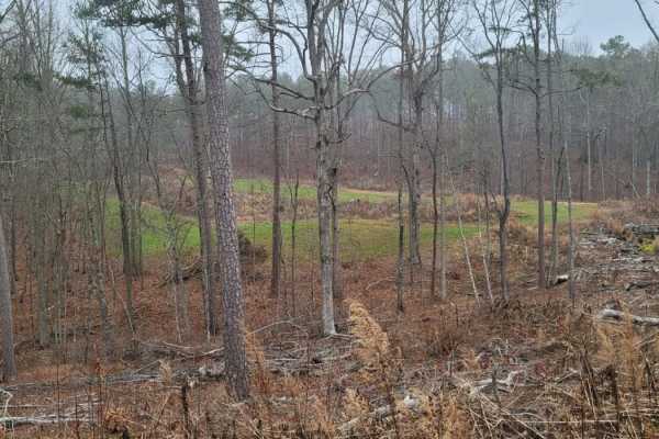
USFSR #548A
USFSR #548A is a scenic, 2.6-mile dirt trail in Talladega National Forest that offers offroaders an easy but engaging route through beautiful pine forests and lush green fields. Ideal for beginners, stock high-clearance four-wheel-drive vehicles, and SxSs, this seasonally open trail features a techn...
Learn more about USFSR #548A
Beginner ATV trails near South Fulton, Georgia
Explore ATV-friendly trails near you. These trails are accessible for vehicles up to 50 inches wide, perfect for ATVs and smaller off-road machines.
Alexander Hollow Trail
Alexander Hollow Trail in the Jacob Franklin Alexander tract of Sprewell Bluff Wildlife Management Area follows a canopy below the ridgeline in the scenic foothills. This 2.5-mile out-and-back gravel and dirt route has little rutting and washouts along the route, with some ridge grass growth along t...
Learn more about Alexander Hollow Trail
Alexander Ridge Trail
This mostly gravel with packed dirt single trail winds 4.4 miles in-and-back through Sprewell Bluff WMA across rolling ridges and foothills near the Flint River. Expect steep climbs, sharp descents, ruts, wash-outs, and loose rocky terrain. Scenic vistas reward the effort, with the landscape changin...
Learn more about Alexander Ridge Trail
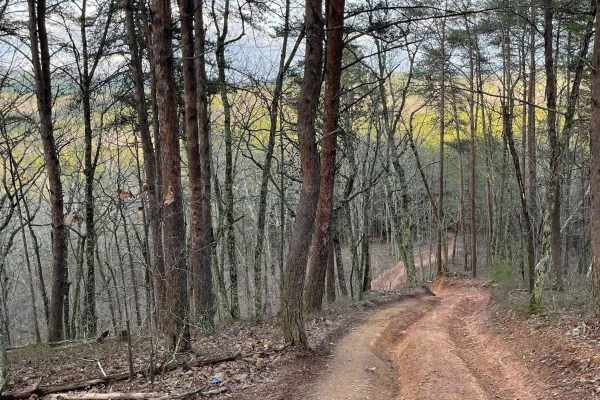
9
Trail 9 is an easy trail that will connect you to trails 16, 11, and 10. Only two-wheel drive is needed. It goes right past the famous Foxes Hollow trail, which can be a challenge at times. It's often a hangout at nighttime. This is a fun and easy connector trail for most.
Learn more about 9
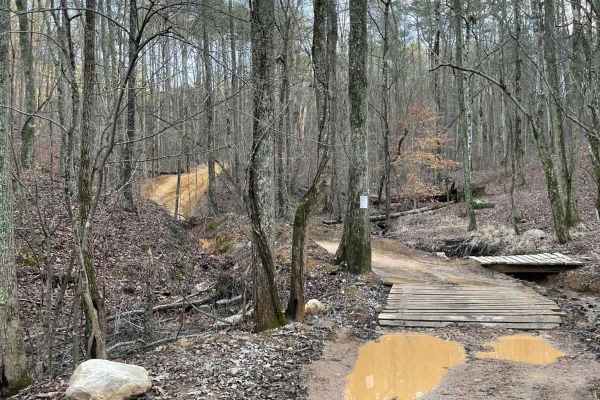
16
This is the main connecting trail that will take you from the dam and wind through the woods. You'll go past the entrance to Trail 6, Trail 15, and Foxes Hollow and end up at the powerlines, which is a very popular spot to hang out. The trail has a couple of small one-lane bridges to cross.
Learn more about 16
Beginner UTV/side-by-side trails near South Fulton, Georgia
Find UTV and side-by-side trails near you. These trails accommodate vehicles up to 60 inches wide, ideal for UTVs, side-by-sides, and wider off-road rigs.
Alexander Hollow Trail
Alexander Hollow Trail in the Jacob Franklin Alexander tract of Sprewell Bluff Wildlife Management Area follows a canopy below the ridgeline in the scenic foothills. This 2.5-mile out-and-back gravel and dirt route has little rutting and washouts along the route, with some ridge grass growth along t...
Learn more about Alexander Hollow Trail
Alexander Ridge Trail
This mostly gravel with packed dirt single trail winds 4.4 miles in-and-back through Sprewell Bluff WMA across rolling ridges and foothills near the Flint River. Expect steep climbs, sharp descents, ruts, wash-outs, and loose rocky terrain. Scenic vistas reward the effort, with the landscape changin...
Learn more about Alexander Ridge Trail
9
Trail 9 is an easy trail that will connect you to trails 16, 11, and 10. Only two-wheel drive is needed. It goes right past the famous Foxes Hollow trail, which can be a challenge at times. It's often a hangout at nighttime. This is a fun and easy connector trail for most.
Learn more about 9
16
This is the main connecting trail that will take you from the dam and wind through the woods. You'll go past the entrance to Trail 6, Trail 15, and Foxes Hollow and end up at the powerlines, which is a very popular spot to hang out. The trail has a couple of small one-lane bridges to cross.
Learn more about 16
The onX Offroad Difference
onX Offroad combines trail photos, descriptions, difficulty ratings, width restrictions, seasonality, and more in a user-friendly interface. Available on all devices, with offline access and full compatibility with CarPlay and Android Auto. Discover what you're missing today!
Open Trail Map