Trail Overview
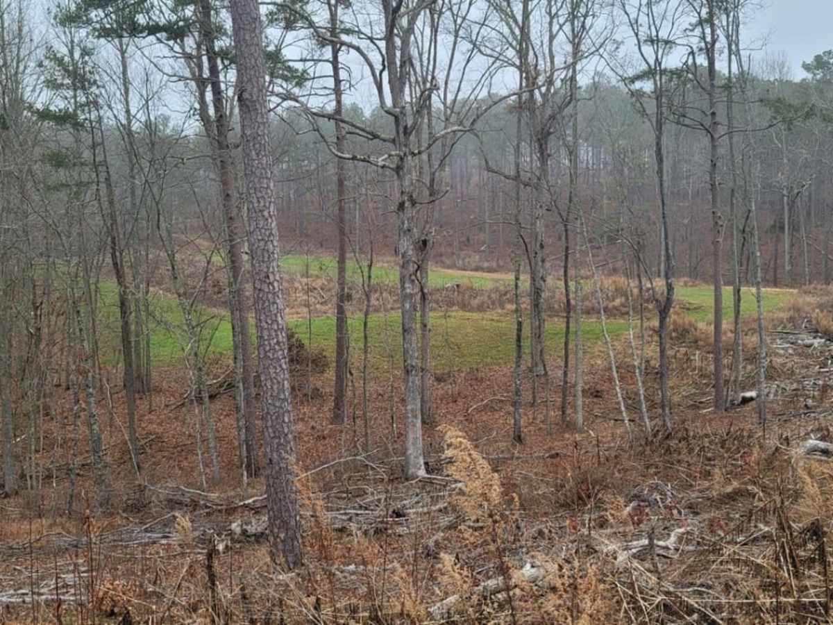
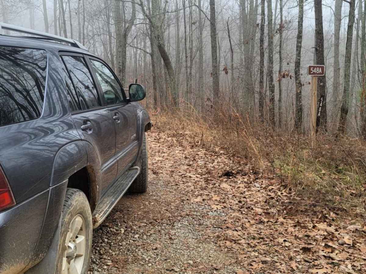
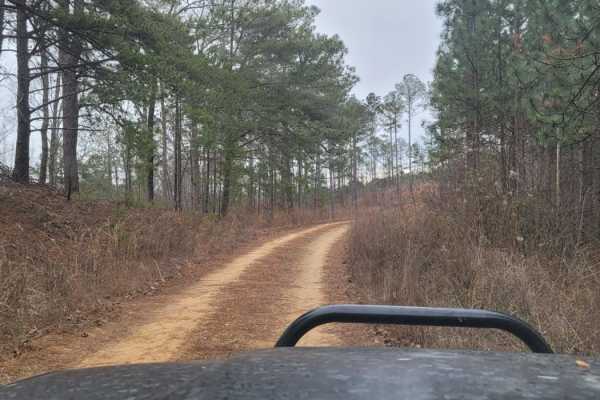
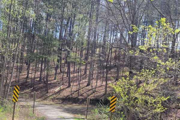
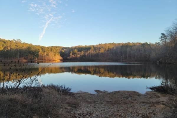
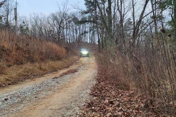
USFSR #548A is a scenic, 2.6-mile dirt trail in Talladega National Forest that offers offroaders an easy but engaging route through beautiful pine forests and lush green fields. Ideal for beginners, stock high-clearance four-wheel-drive vehicles, and SxSs, this seasonally open trail features a technical rating of 3 due to some unavoidable shallow mud holes and potential navigation challenges. The route begins at the northern half of USFSR #548 and winds northward before terminating at USFSR #553. Along the way, elevations range from 1,100 feet to 1,439 feet, with a gentle descent of over 300 feet.
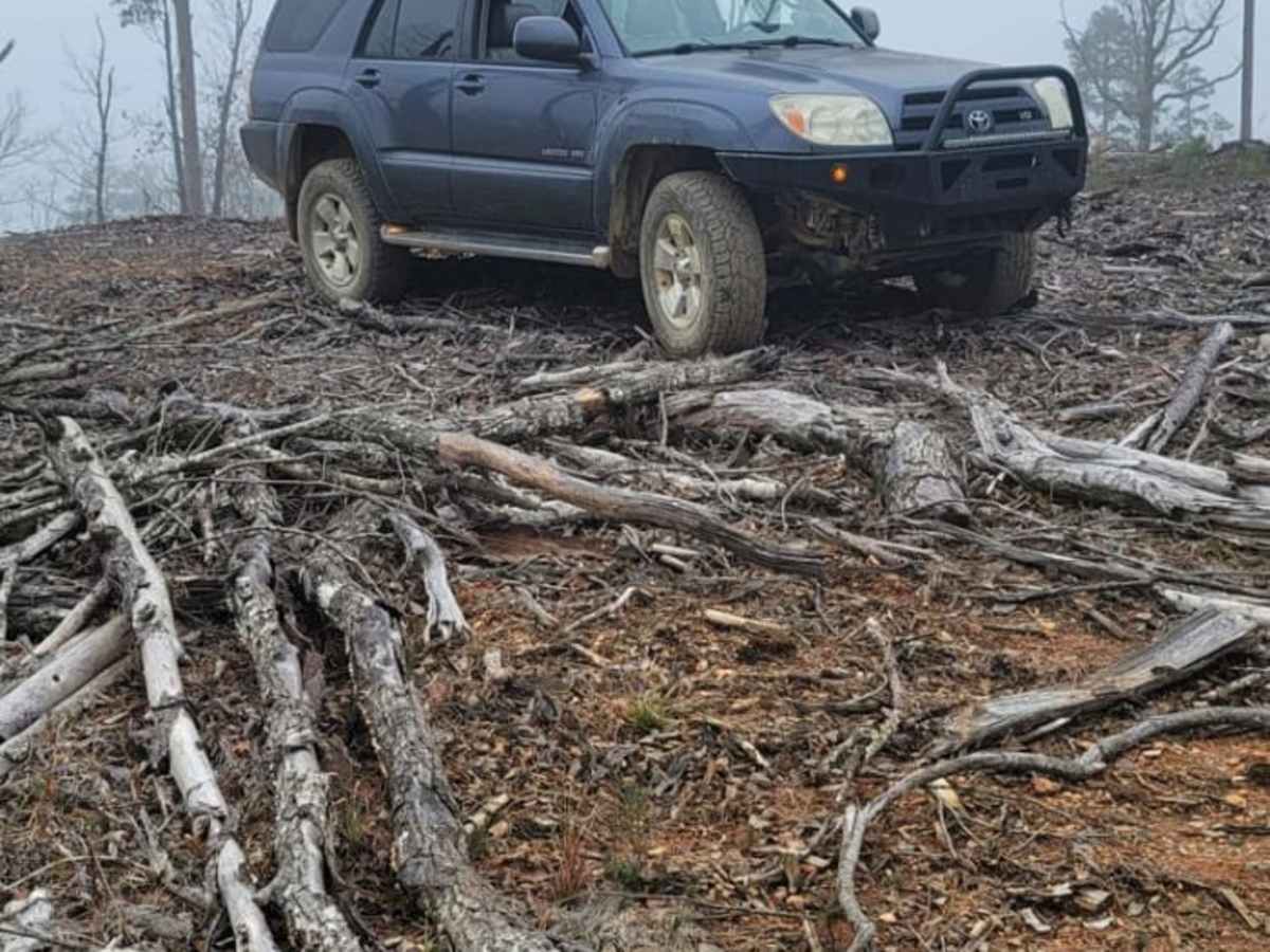
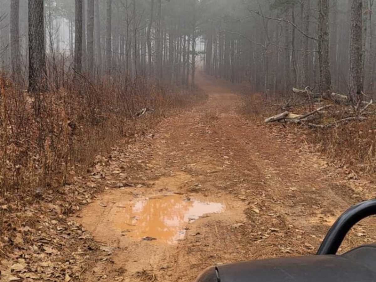
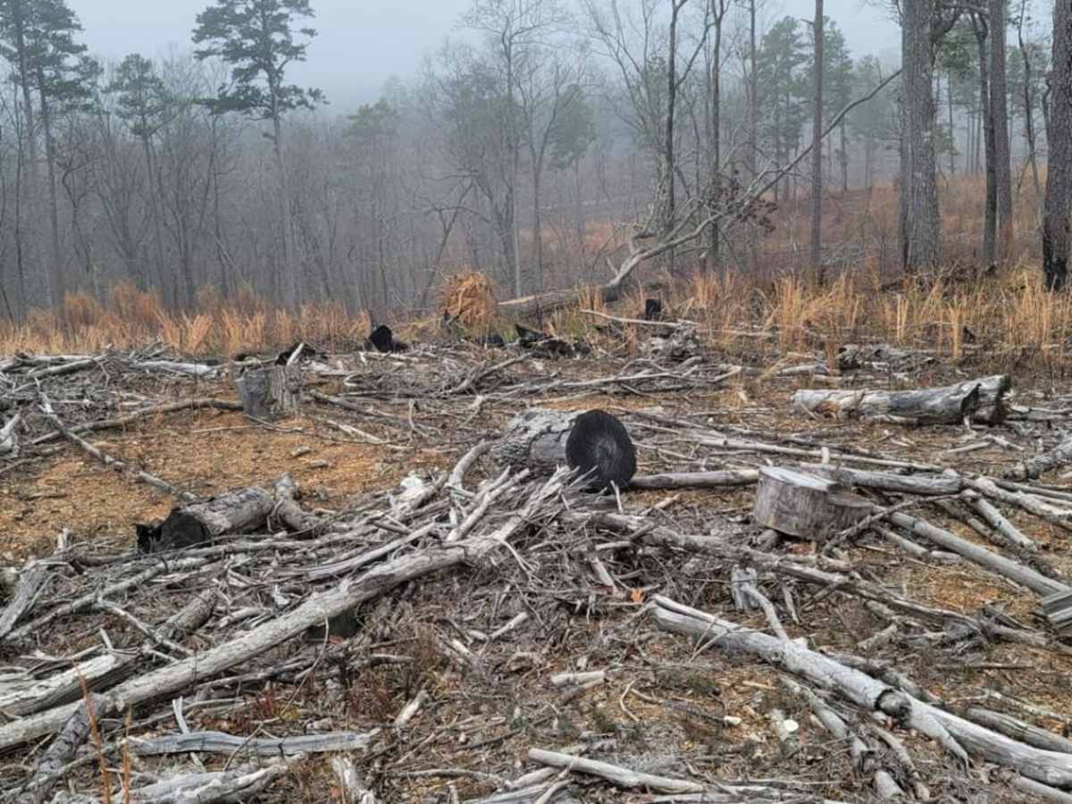
Because this trail is only open during hunting season, drivers should verify seasonal dates with the U.S. Forest Service before planning their trip. Navigating the southern end requires close attention to the map; a recent clear-cut area with left-behind timber can easily mislead drivers into rougher, off-route conditions if they veer off the main road. Keeping right on the primary dirt track keeps you on the designated USFS route and away from the debris. In the northern section, expect to encounter wide but shallow mud holes nestled between rolling hills that require careful line choice but are manageable for most standard four-wheel-drive rigs. Nearby Coleman Lake and the Pinhoti Trail offer excellent opportunities for camping and hiking to round out your offroad adventure.
Access Description
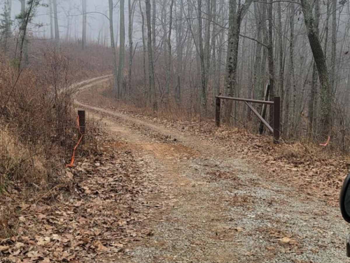
This trail is a seasonally open unimproved road, generally accessible only during the hunting season. Visitors must follow U.S. Forest Service guidelines and stay on the designated route. It is highly recommended to check current road closures and seasonal dates with the Shoal Creek Ranger District of the Talladega National Forest before attempting this route.