USFSR# 549

Total Miles3.9
Technical Rating
1Easy
Best TimeSpring, Summer, Fall, Winter
Trail TypeFull-Width Road
Accessible By
Open Trail Map

Trail Overview

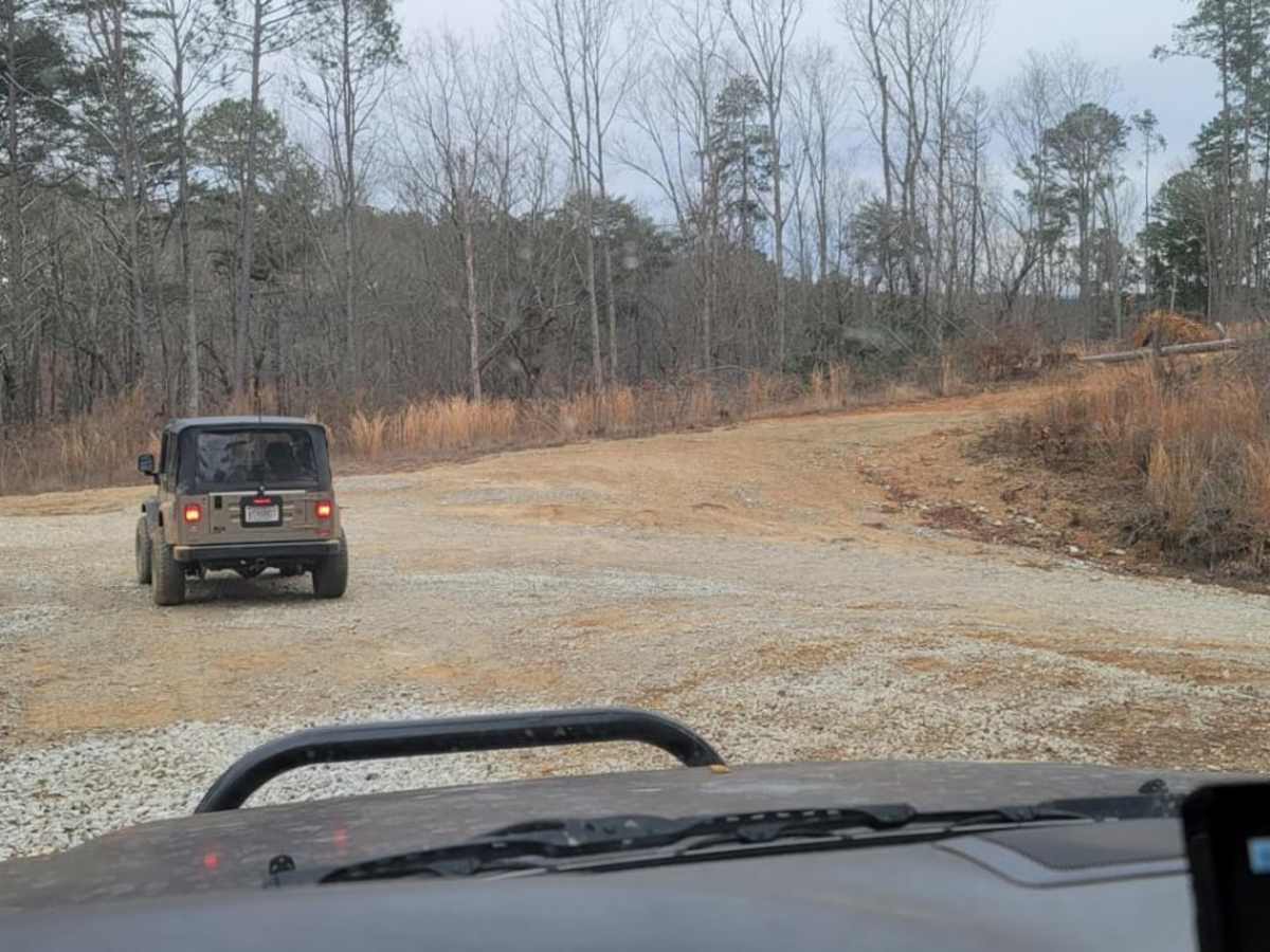
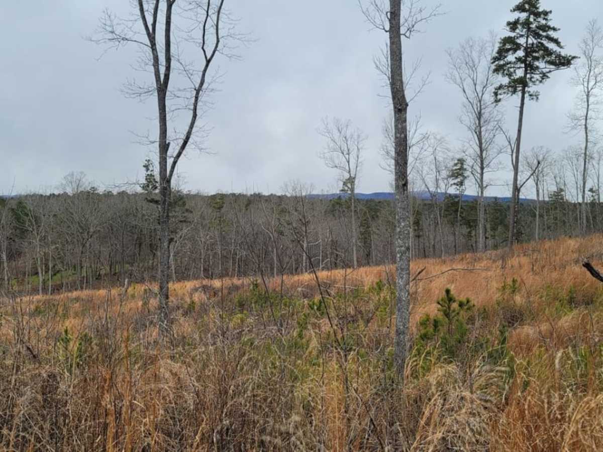
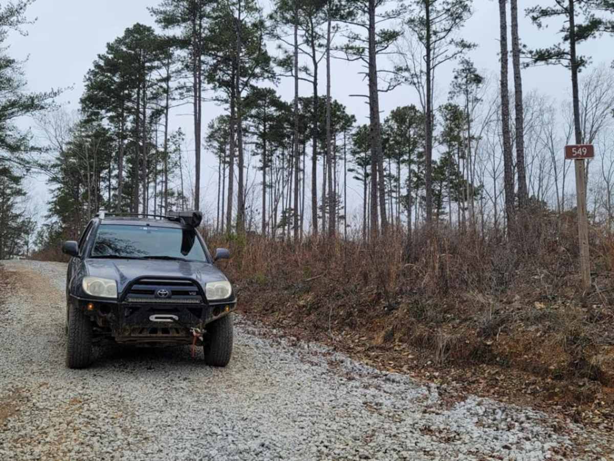
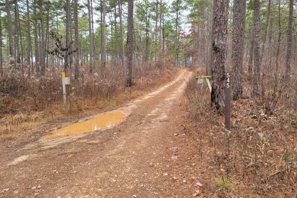
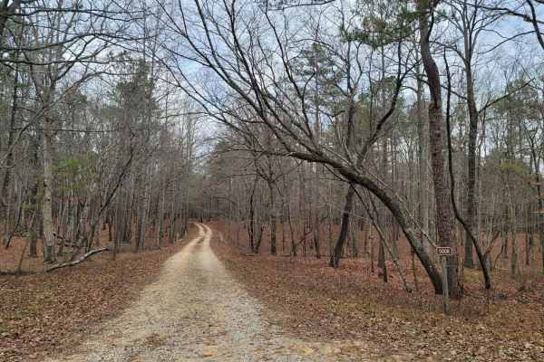
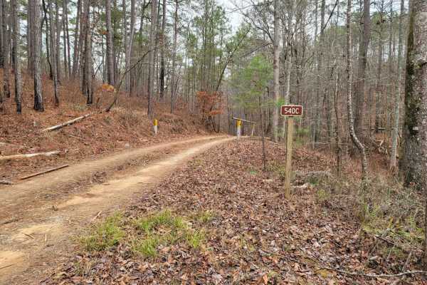
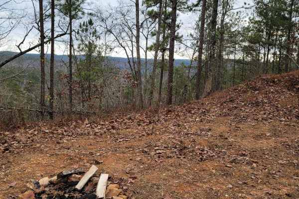
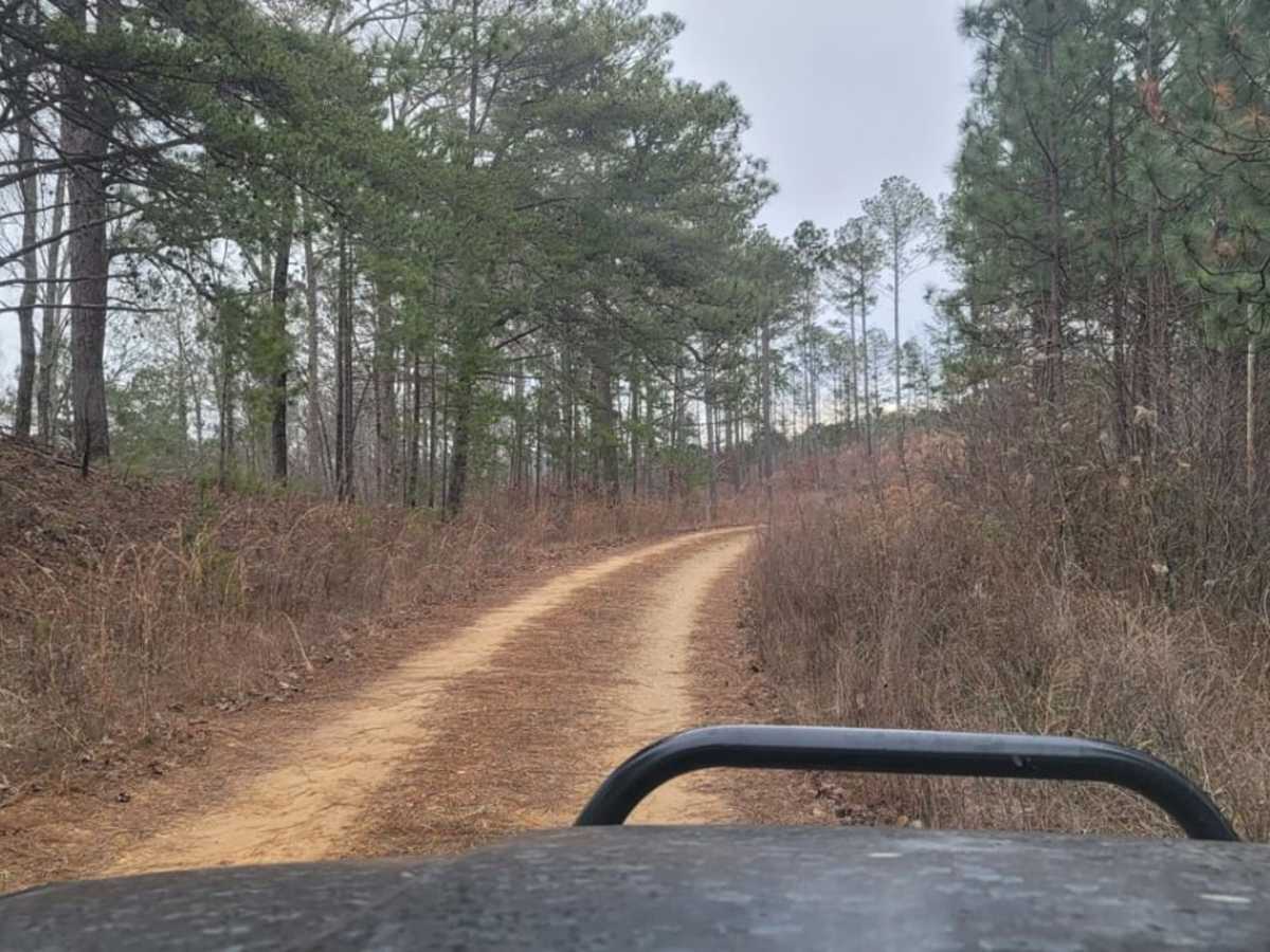
USFSR# 549 is a beginner-friendly, 3.9-mile unpaved trail in the Talladega National Forest that offers a straightforward and scenic drive through the dense woods of eastern Alabama. Connecting USFSR# 555 on the east to USFSR# 500 on the west, this route is perfectly suited for stock four-wheel-drive vehicles, SxSs, and high-clearance SUVs looking for an uncomplicated forest escape. The trail features minor elevation changes ranging from 1,211 to 1,366 feet, making for an easy, flat journey with cumulative climbing of just over 319 feet. The trail surface is primarily dirt and gravel, occasionally featuring minor, shallow mud holes that can be easily avoided or navigated without specialized equipment. Because it is located just north of the popular Coleman Lake Campground, it serves as an excellent warm-up route or side trip for campers. The road remains open year-round, though drivers should expect increased traffic from autumn through winter during the local hunting seasons.

Photos of USFSR# 549

Difficulty

All very easy.

Technical Rating

1

USFSR# 549 Trail can be accessed by the following ride types:

  • High Clearance
  • Full Width

USFSR# 549 Map

The onX Offroad Difference

onX Offroad combines trail photos, descriptions, difficulty ratings, width restrictions, seasonality, and more in a user-friendly interface. Available on all devices, with offline access and full compatibility with CarPlay and Android Auto. Discover what you're missing today!

Open Trail Map