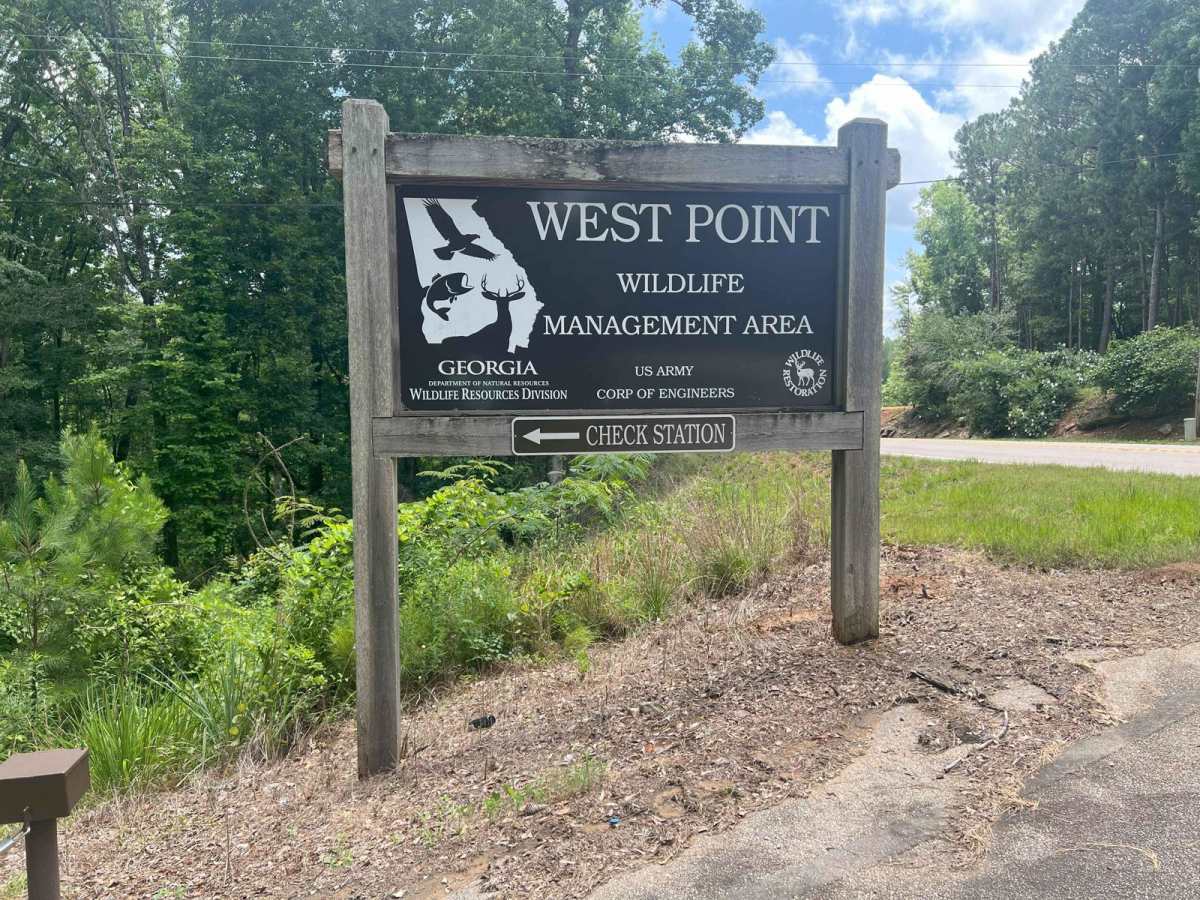
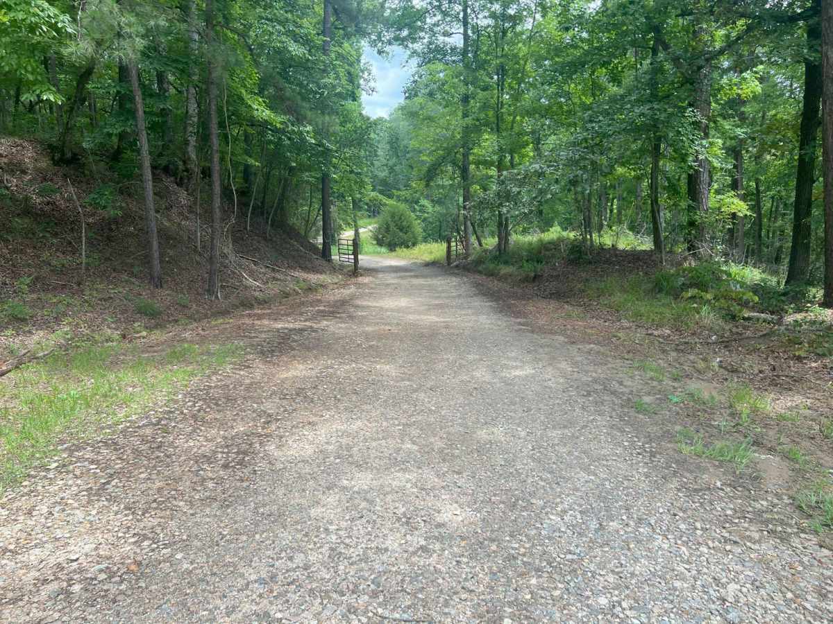
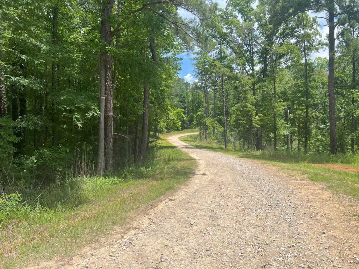
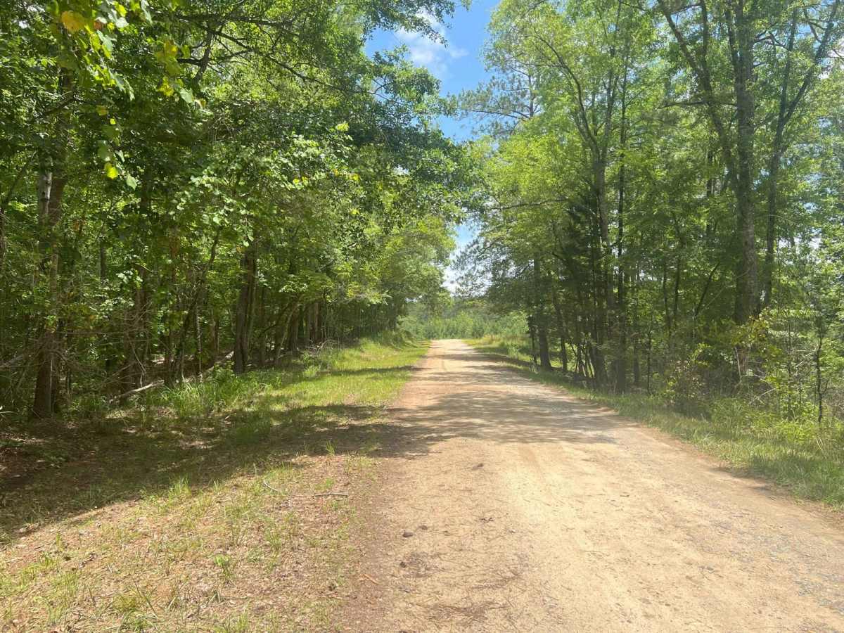
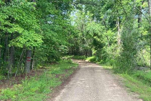
Trail Overview
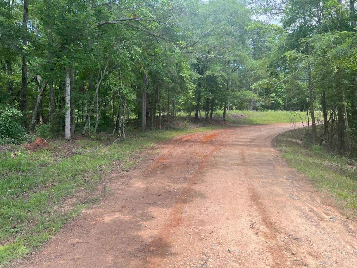
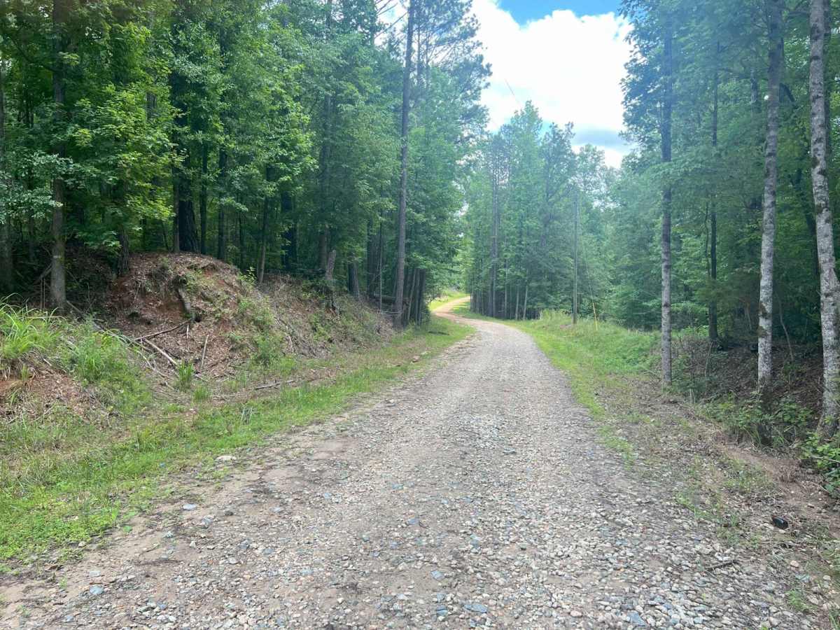
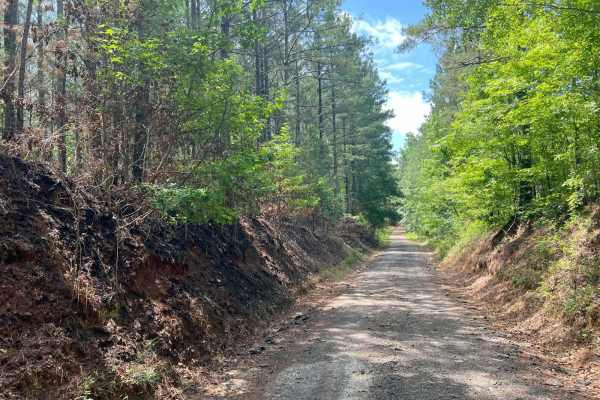
Located just north of LaGrange, Georgia, in Troup County, this road serves as one of the western entrances to the West Point Wildlife Management Area (WMA), situated on the west side of West Point Lake. This is an out-and-back road, meaning you'll need to turn around and exit the way you came in. The drive is generally easy, with a few muddy sections, but the terrain is mostly flat and wide enough for two vehicles. The route also includes two concrete bridges that narrow slightly. Several side roads branch off the main route, but these are seasonally gated and typically closed to public access. At approximately 2.1 miles in, there is a gate, where you'll likely need to turn around in off seasons.
Difficulty
This road is primarily gravel but has some muddy areas during wet or rainy seasons. The road is mostly two lanes wide, except for two concrete bridges, which narrow slightly.
History
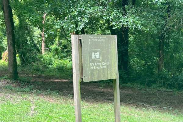
The West Point Wildlife Management Area, located in west-central Georgia near the Alabama border, spans several counties, including Heard and Troup. It was established in the mid-20th century as part of broader efforts by the Georgia Department of Natural Resources (DNR) to restore and conserve habitats for native wildlife and to provide public opportunities for outdoor recreation, such as hunting, fishing, hiking, and wildlife observation. The area lies within the Chattahoochee River corridor and includes a diverse landscape of hardwood forests, pine stands, wetlands, and floodplains. Much of the land was historically used for agriculture and timber production, but with the creation of West Point Lake in the 1970s--a U.S. Army Corps of Engineers project aimed at flood control, hydroelectric power, and recreation--the surrounding lands were transformed into a protected conservation area.