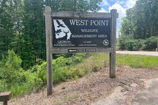
Trail Overview
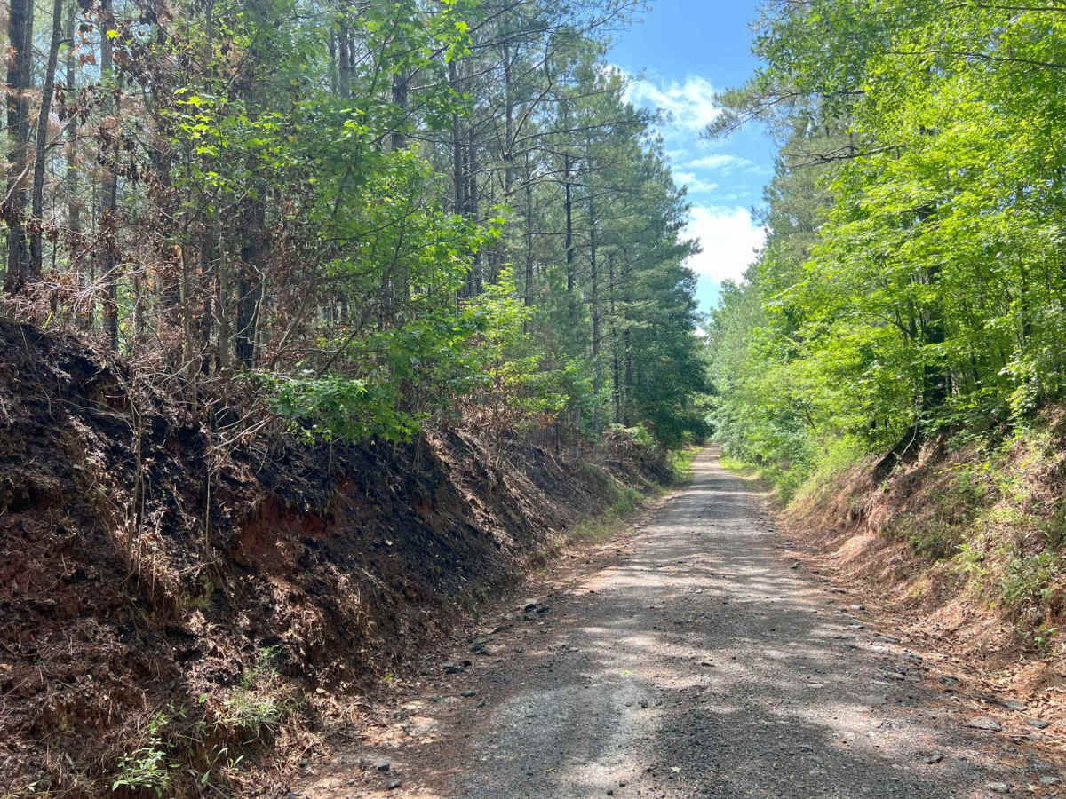
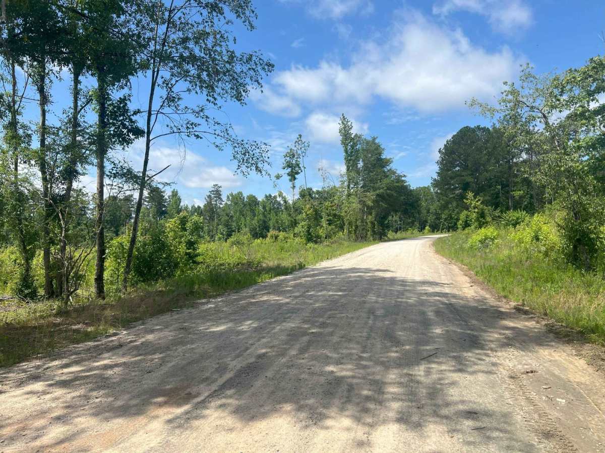
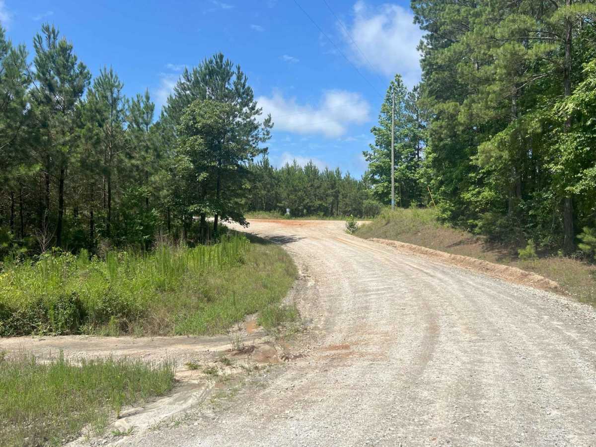
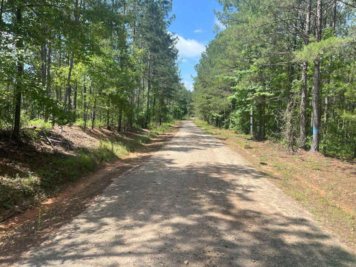
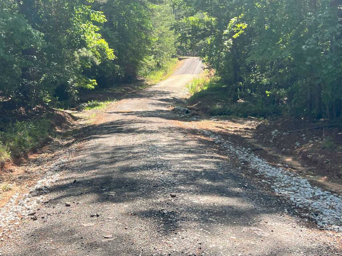
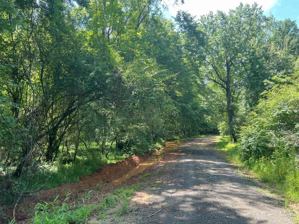
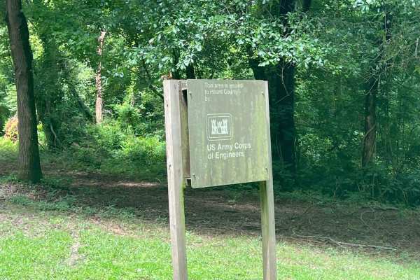
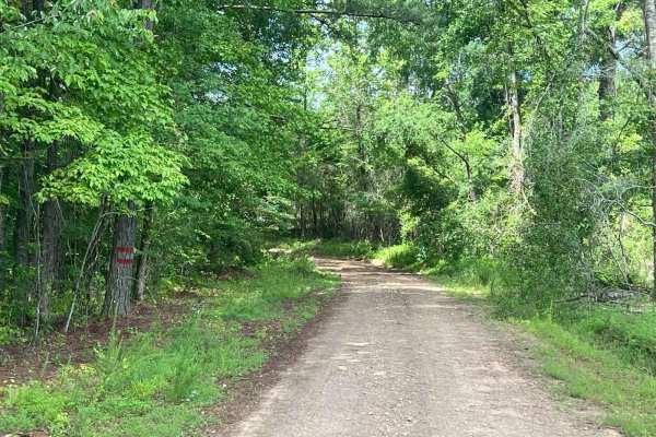
Located near Franklin, Georgia, in Heard County, this .6 miles of rural, county-maintained road serves as one of the entrances to the West Point Wildlife Management Area (WMA), which continues for 3.2 additional miles. Though publicly accessible, it is not a priority for resurfacing and can become challenging to navigate during or after wet weather. This is an out-and-back road, meaning you'll need to turn around and exit the same way you came in. The area is relatively remote and features several muddy sections and water-filled pits. If you plan to explore these more difficult areas, be sure to bring recovery gear and, ideally, travel with a second vehicle. While some minor rutting is present, it is generally manageable and not severe. The road is mostly flat and single-lane, though occasional wider sections allow for safe vehicle passing. At the 1.3-mile mark from the entrance to the WMA, there is a gate that is typically open during hunting season. Outside of that time, access may be restricted, and you'll need to turn around on trail.
Difficulty
This road is primarily dirt and can become very muddy and slick during wet or rainy seasons. The road is mostly one lane wide, but there are plenty of areas to move to the side if oncoming traffic comes. To help reduce washouts, many of the rougher sections have been reinforced with asphalt millings; however, drivers should still proceed with caution, especially in poor weather conditions.
History
The West Point Wildlife Management Area, located in west-central Georgia near the Alabama border, spans across several counties, including Heard and Troup. It was established in the mid-20th century as part of broader efforts by the Georgia Department of Natural Resources (DNR) to restore and conserve habitats for native wildlife and to provide public opportunities for outdoor recreation, such as hunting, fishing, hiking, and wildlife observation. The area lies within the Chattahoochee River corridor and includes a diverse landscape of hardwood forests, pine stands, wetlands, and floodplains. Much of the land was historically used for agriculture and timber production, but with the creation of West Point Lake in the 1970s--a U.S. Army Corps of Engineers project aimed at flood control, hydroelectric power, and recreation--the surrounding lands were transformed into a protected conservation area.