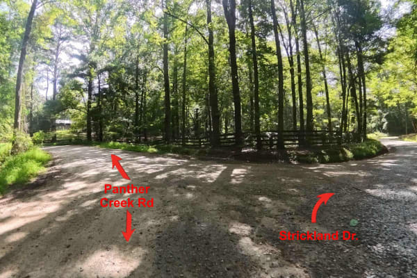
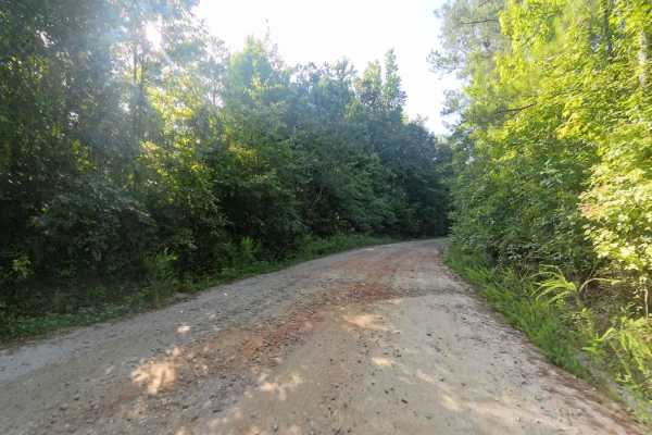
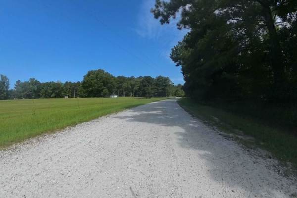
Trail Overview
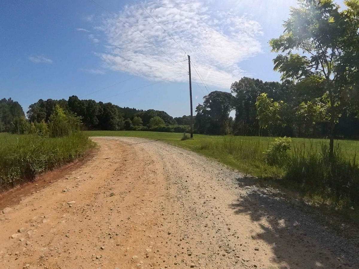
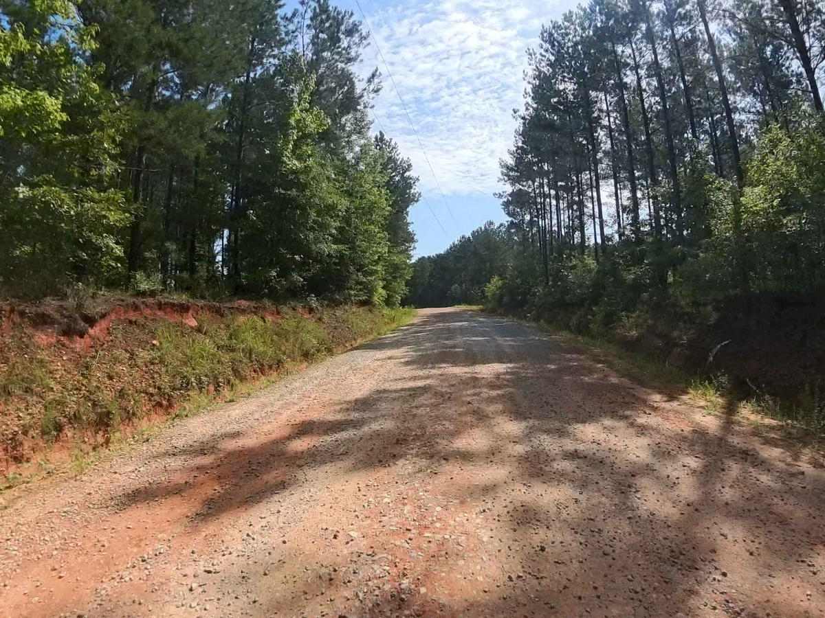
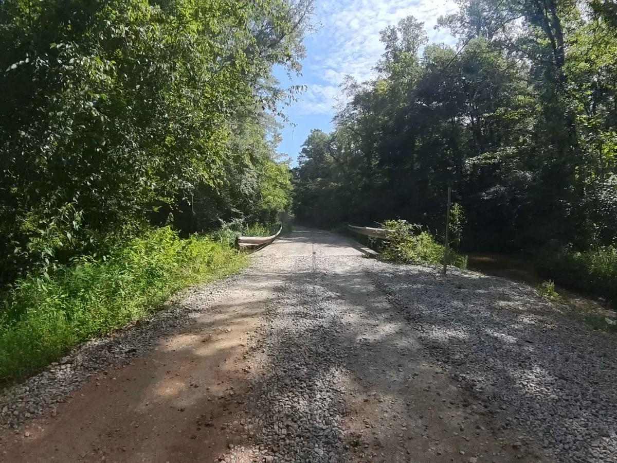
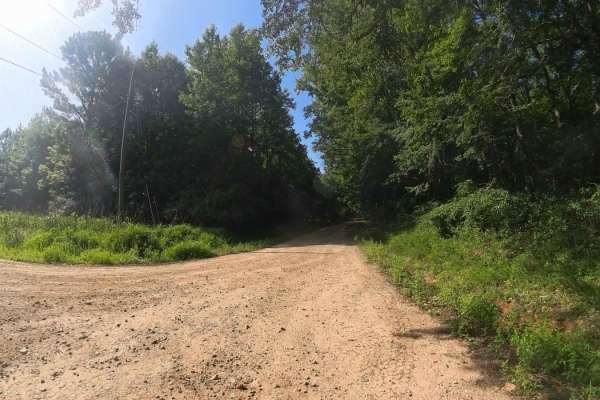
This is a county-maintained road, primarily gravel with some dirt sections where washouts have occurred. The road is generally smooth and suitable for most vehicles. It serves as an easy and scenic route, part of a network of back roads ideal for a relaxing day drive. The road is mostly single-lane, with occasional pull-off spots to allow oncoming traffic to pass. A concrete bridge spans a small stream along the way. Please note that while this is a public road, the land on both sides is private property--stay on the main road and respect posted boundaries. As a county road, it is open only to licensed vehicles. Cell phone is decent in the area, but be prepared for the possible loss of signal since this area is somewhat rural.
Difficulty
This county road is an easy drive for nearly any vehicle. The only challenge is that it's mostly single-lane, which can make passing oncoming traffic tricky. The surface is a mix of graded gravel and dirt, so conditions may become more difficult after heavy rain.
History
The Bear Creek area in Moreland, Georgia, traces its origins to the early settlement around Mount Zion Methodist Church, which was established in 1843 by farmers who had come to the region via the 1827 Georgia Land Lottery. When the Atlanta & West Point Railroad arrived in 1852, the center of the community shifted southward toward the newly constructed depot. The area's early history is deeply rooted in agriculture, and although prospectors did discover traces of gold in the Bear Creek area prior to Georgia's 1829-30 gold rush, the deposits were too limited to spur a rush--leading miners to move on to richer fields in north Georgia.