
Beginner Off-Road Trails
Near Robeson Extension, Pennsylvania
Explore All Beginner Trails Near Robeson Extension, Pennsylvania
Beginner Off-Road Trails Near Robeson Extension, Pennsylvania
Discover the best beginner-friendly off-road trails near you. These easier, lower-rated trails are a great place to start — browse trail maps, check difficulty ratings, and find your next adventure.
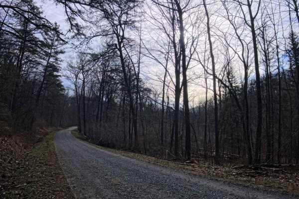
Mc Quire Road
This is a gravel forest road that comes from the south and will take you into Rothrock State Forest, where it connects with, coming from the north, will bring you out towards RT 305 near Petersburg. This is an easy forest road with a few pull-offs to view the forest, one being a small pull-off with...
Learn more about Mc Quire Road
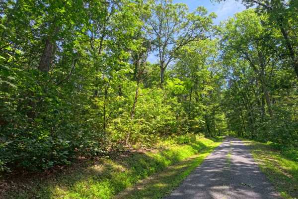
Mule Road
This is a maintained gravel road that works its way along the ridge. There is the occasional hunting camp along this road, and a few pull-offs with nice views of the forest. It makes for an easy and relaxing ride to cut across the ridge between two of the larger roads through Rothrock State Forest...
Learn more about Mule Road
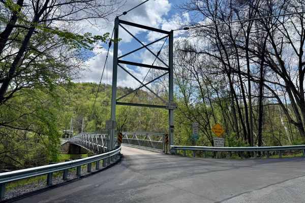
Corbin Road
Corbin Road is a minimally maintained township road that crosses the Raystown Branch of the Juniata River on a single-lane suspension bridge and ascends the Terrace Mountain to a high point of about 1100 feet above its start at the bridge, eventually reaching over 1600 feet in elevation. There is a ...
Learn more about Corbin Road
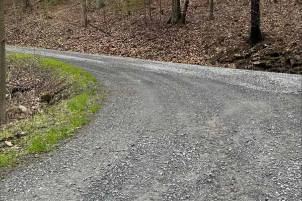
John Bum Road
This is an easy mountain road through Trough Creek State Park. The road is maintained gravel and offers a peaceful ride through the forest with numerous pull-off areas. Keep an eye out for wildlife when traveling the road, as both deer and wild turkeys may cross your path.
Learn more about John Bum Road
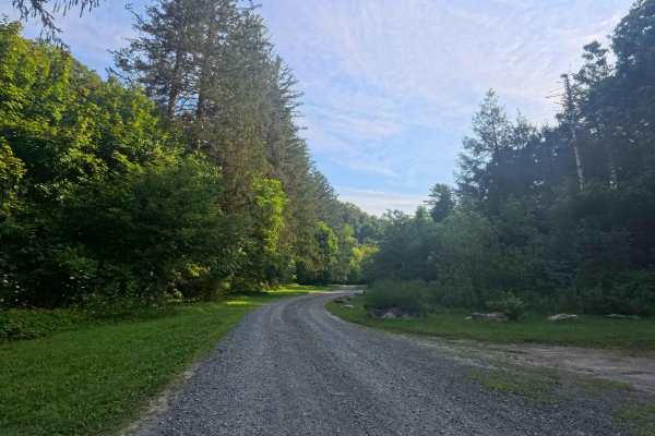
Colerain Road
This is a maintained gravel road that traverses up and over the ridge, offering some pull-offs on both sides that have great views of the valleys. Numerous roads branch off leading through Rothrock State Forest, with small parking areas available throughout for hiking trails.
Learn more about Colerain Road
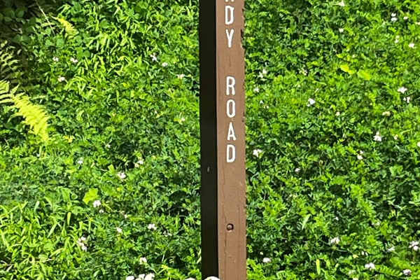
Brady Road
This is a very easy gravel road with plenty of beautiful scenery. When traveling Brady Road, you will come across some hunting camps and some really nice valley views. Fall would be a great time to visit with all of the fall foliage. Brady Road can be driven with any vehicle.
Learn more about Brady Road
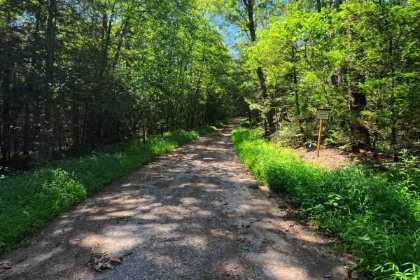
Leading Ridge Road
This is a dirt road that crosses along the bottom of the ridge between two of the larger roads through Rothrock State Park. This trail does not have any technical obstacles, but is a dirt and rocky road with a few small puddles and mud areas. There are a few roads that branch off, and there is an ...
Learn more about Leading Ridge Road
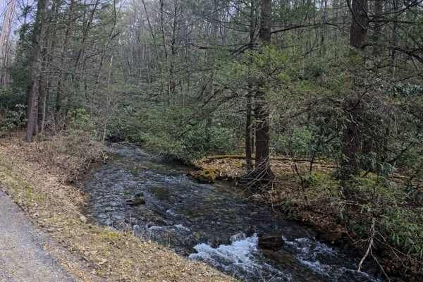
White Deer Road
Coming off of Route 305 heading north, this gravel road will start out taking you through the area of some houses before going into Rothrock State Forest and connecting with Tram Road and Harry's Valley Road. This is a standard forest road that follows a small stream and has a few small pull-offs to...
Learn more about White Deer Road
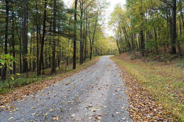
Tram Road
Tram Road is a well-maintained gravel trail in Rothrock State Forest. The trail follows the valley floor along a mountain providing access to other off-road trails. The trail traverses a forest of deciduous trees, rhododendrons, and small creeks. The spring rhododendron bloom and fall foliage are es...
Learn more about Tram Road
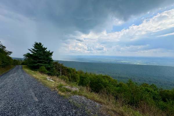
Pennsylvania Furnace Road
One of the most fun routes in Rothrock State Forest. The northern end begins in corn fields and passes through private property, so be respectful and stay on the trail here. It transitions from broken pavement to loose rock as it climbs into the state forest and ascends Tussey Mountain. At the inter...
Learn more about Pennsylvania Furnace Road
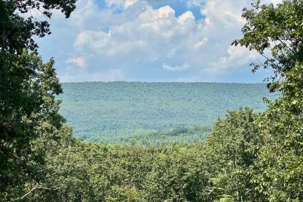
Hammond Road
Also known as Township 538, this road is almost entirely in the Penn State Stone Valley Forest. Although this forest is adjacent to part of Rothrock State Forest, it is on land owned by Pennsylvania State University. It has two vistas, one onto Muthersbaugh Swamp about midway and one at the north in...
Learn more about Hammond Road
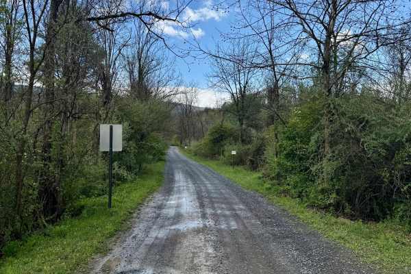
Martin Road
Martin Road is an easy gravel state forest road that enters Rothrock State Forest from the west and climbs to the ridge line of the Stone Mountain through the Martin Gap of the Rocky Ridge. This is a typical forest service road that can be used by any street-legal vehicle without difficulty, unless ...
Learn more about Martin Road
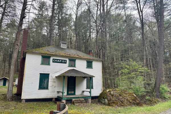
Frew Road
This is an out-and-back state forest road in Rothrock State Forest. It is primarily graded gravel and should be passable by any street-legal vehicle outside of the winter months. It can only be accessed from Martin Road in the forest. The intersection won't be easily missed as it is dominated by Cam...
Learn more about Frew Road
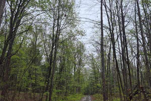
Rock Spring Trail
Rock Spring Trail is a spur off Martin Gap Road that runs north into the forest. It has a few washouts and puddles, but is easily completed in a stock vehicle with good ground clearance. The north end of the trail terminates at a locked gate.
Learn more about Rock Spring Trail
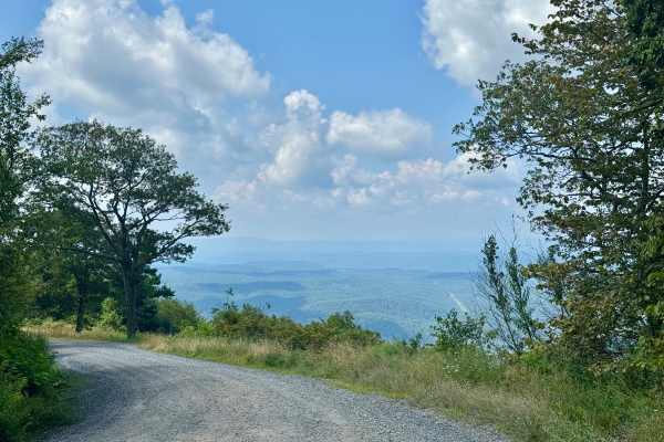
Allensville Road
This forest road runs north-south over Stone Mountain through the southern part of Rothrock State Forest. It is most notable for having a hawk viewing platform on the east side of the mountain, not far from Allensville, at about 2000 feet above sea level. The platform is a short hike from the parkin...
Learn more about Allensville Road
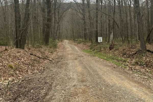
Bald Eagle Pike
This is a rocky dirt road up the mountainside. There are some small washed-out areas, but it can be easily navigated with a factory-height SUV. You'll get some great views down into the valley along with wildlife such as turkey and deer crossing the trail. It's single-lane with a few pull-off areas ...
Learn more about Bald Eagle Pike
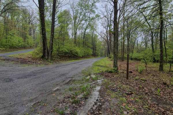
Flat Road
Flat Road is a gravel road that serves as a connector between Allensville & Martins Gap Roads. It is a well-graded gravel road with wide shoulders on each side. There are numerous wildflowers and other natural sights along the sides. It can be easily completed with a 2-wheel drive vehicle.
Learn more about Flat Road
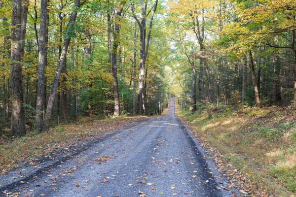
Turkey Hill Road
Turkey Hill Road is a gravel trail in Rothrock State Forest. The trail climbs to a ridge before descending into Greenwood Furnace State Park. The trail traverses a forest of deciduous trees and rhododendrons. The spring rhododendron bloom and fall foliage are especially scenic. There is a vista crea...
Learn more about Turkey Hill Road
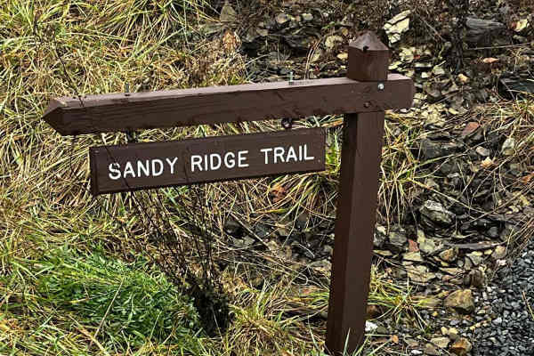
Sandy Ridge Trail
The Sandy Ridge Trail is a 6.2 point-to-point trail. The trail itself is a well-maintained dirt/gravel road with a lot of views of trees and wildlife. Sandy Ridge has plenty of spots to pull over for traffic or photo opportunities. There are some sections of the road that can get a little bumpy thro...
Learn more about Sandy Ridge Trail
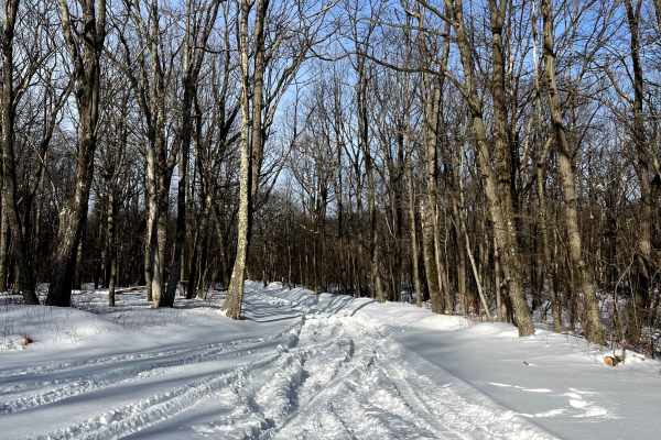
Ponderosa Drive
Ponderosa Drive is a game land access road that is not seasonal. Maintenance is limited; the road will not be plowed in winter. Often rutted and very muddy, this is a fun trail to use for access into this public land, or as a through road connecting Bald Eagle Pike or Sandy Ridge Trail. The north en...
Learn more about Ponderosa Drive
Beginner ATV trails near Robeson Extension, Pennsylvania
Explore ATV-friendly trails near you. These trails are accessible for vehicles up to 50 inches wide, perfect for ATVs and smaller off-road machines.
Bald Eagle Pike
This is a rocky dirt road up the mountainside. There are some small washed-out areas, but it can be easily navigated with a factory-height SUV. You'll get some great views down into the valley along with wildlife such as turkey and deer crossing the trail. It's single-lane with a few pull-off areas ...
Learn more about Bald Eagle Pike
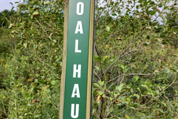
Coal Haul Road - Rock Run Recreation Area
Coal Haul Road - A trail of Rock Run Recreation Area. Located on the Southern end of the facility, Coal Haul Road is the main throughfare to access the park. Coal Haul Road is an improved stone roadway, two vehicles wide for the entire 2.7 miles. Longtime riders of Rock Run will realize that Coal Ha...
Learn more about Coal Haul Road - Rock Run Recreation Area
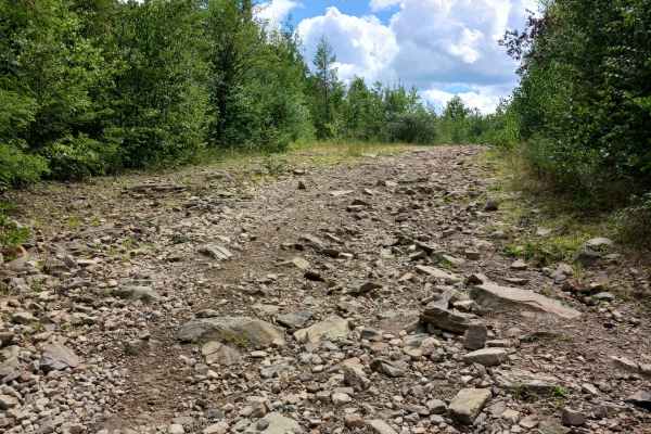
Blue Lagoon Boulevard - Rock Run Recreation Area
Blue Lagoon Boulevard- A trail of Rock Run Recreation Area. Blue Lagoon Boulevard is an original trail to the park, and it should be able to be traversed by anyone. Blue Lagoon Boulevard is 6/10ths of a mile in length and is part of the larger network at the park. One end of Blue Lagoon Boulevard st...
Learn more about Blue Lagoon Boulevard - Rock Run Recreation Area
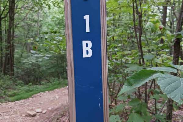
Trail 1B - Rock Run Recreation Area
Trail 1B- A trail of Rock Run Recreation Area. Trail 1B is an original trail to the park. It should be able to be traversed by anyone on a motorcycle, ATV, or SxS. Trail 1B is just over 1/10th of a mile in length and is part of the larger network at the park. This trail is mostly dirt with the poten...
Learn more about Trail 1B - Rock Run Recreation Area
Beginner UTV/side-by-side trails near Robeson Extension, Pennsylvania
Find UTV and side-by-side trails near you. These trails accommodate vehicles up to 60 inches wide, ideal for UTVs, side-by-sides, and wider off-road rigs.
Bald Eagle Pike
This is a rocky dirt road up the mountainside. There are some small washed-out areas, but it can be easily navigated with a factory-height SUV. You'll get some great views down into the valley along with wildlife such as turkey and deer crossing the trail. It's single-lane with a few pull-off areas ...
Learn more about Bald Eagle Pike
Coal Haul Road - Rock Run Recreation Area
Coal Haul Road - A trail of Rock Run Recreation Area. Located on the Southern end of the facility, Coal Haul Road is the main throughfare to access the park. Coal Haul Road is an improved stone roadway, two vehicles wide for the entire 2.7 miles. Longtime riders of Rock Run will realize that Coal Ha...
Learn more about Coal Haul Road - Rock Run Recreation Area
Blue Lagoon Boulevard - Rock Run Recreation Area
Blue Lagoon Boulevard- A trail of Rock Run Recreation Area. Blue Lagoon Boulevard is an original trail to the park, and it should be able to be traversed by anyone. Blue Lagoon Boulevard is 6/10ths of a mile in length and is part of the larger network at the park. One end of Blue Lagoon Boulevard st...
Learn more about Blue Lagoon Boulevard - Rock Run Recreation Area
Trail 1B - Rock Run Recreation Area
Trail 1B- A trail of Rock Run Recreation Area. Trail 1B is an original trail to the park. It should be able to be traversed by anyone on a motorcycle, ATV, or SxS. Trail 1B is just over 1/10th of a mile in length and is part of the larger network at the park. This trail is mostly dirt with the poten...
Learn more about Trail 1B - Rock Run Recreation Area
The onX Offroad Difference
onX Offroad combines trail photos, descriptions, difficulty ratings, width restrictions, seasonality, and more in a user-friendly interface. Available on all devices, with offline access and full compatibility with CarPlay and Android Auto. Discover what you're missing today!
Open Trail Map