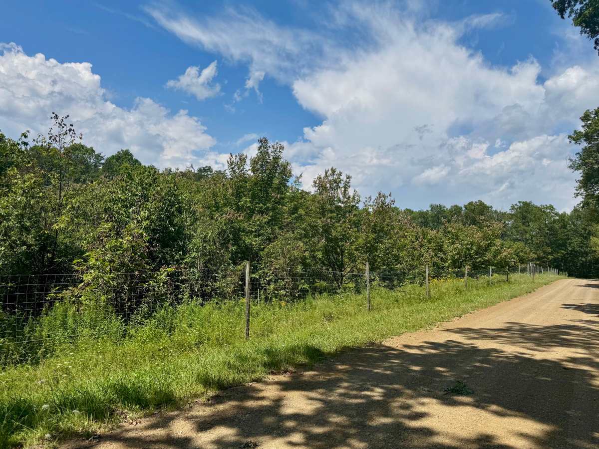
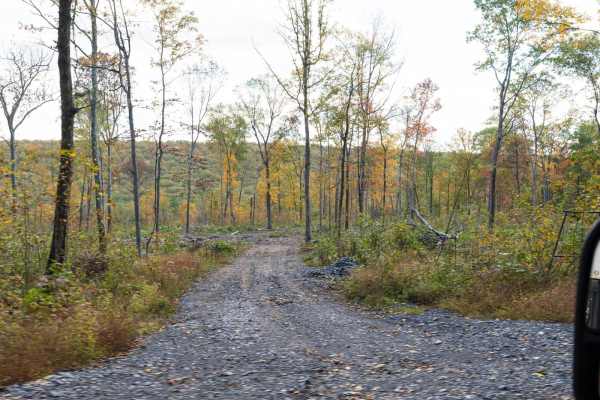
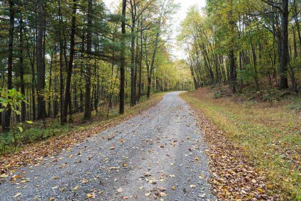
Trail Overview
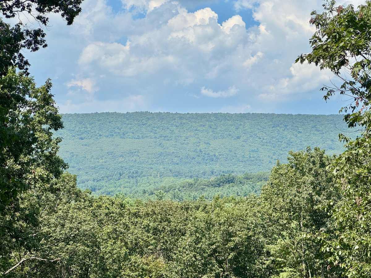
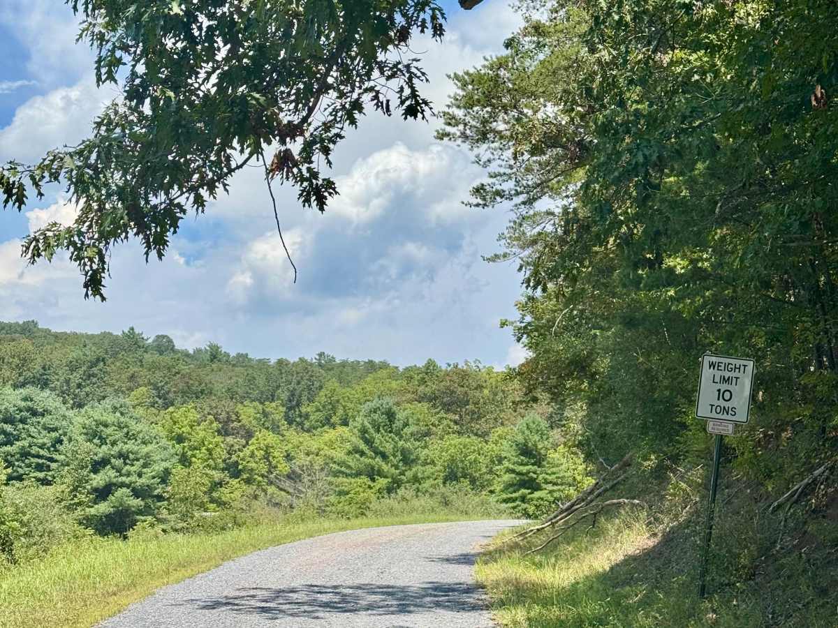
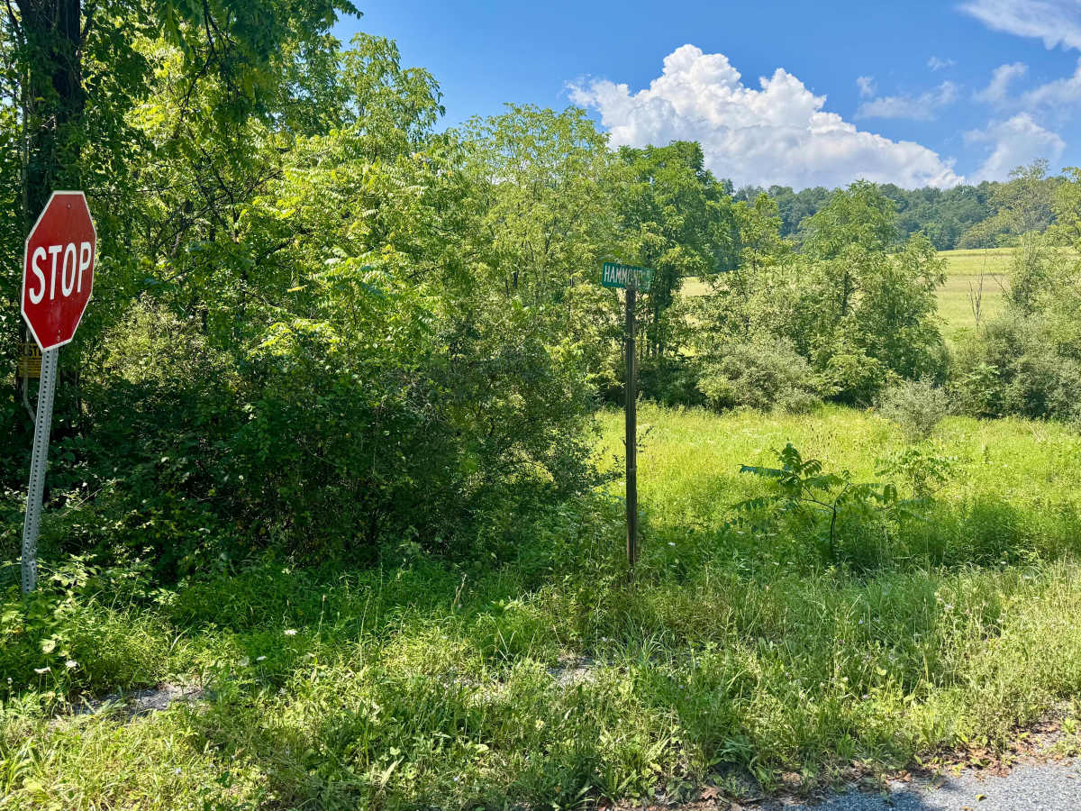
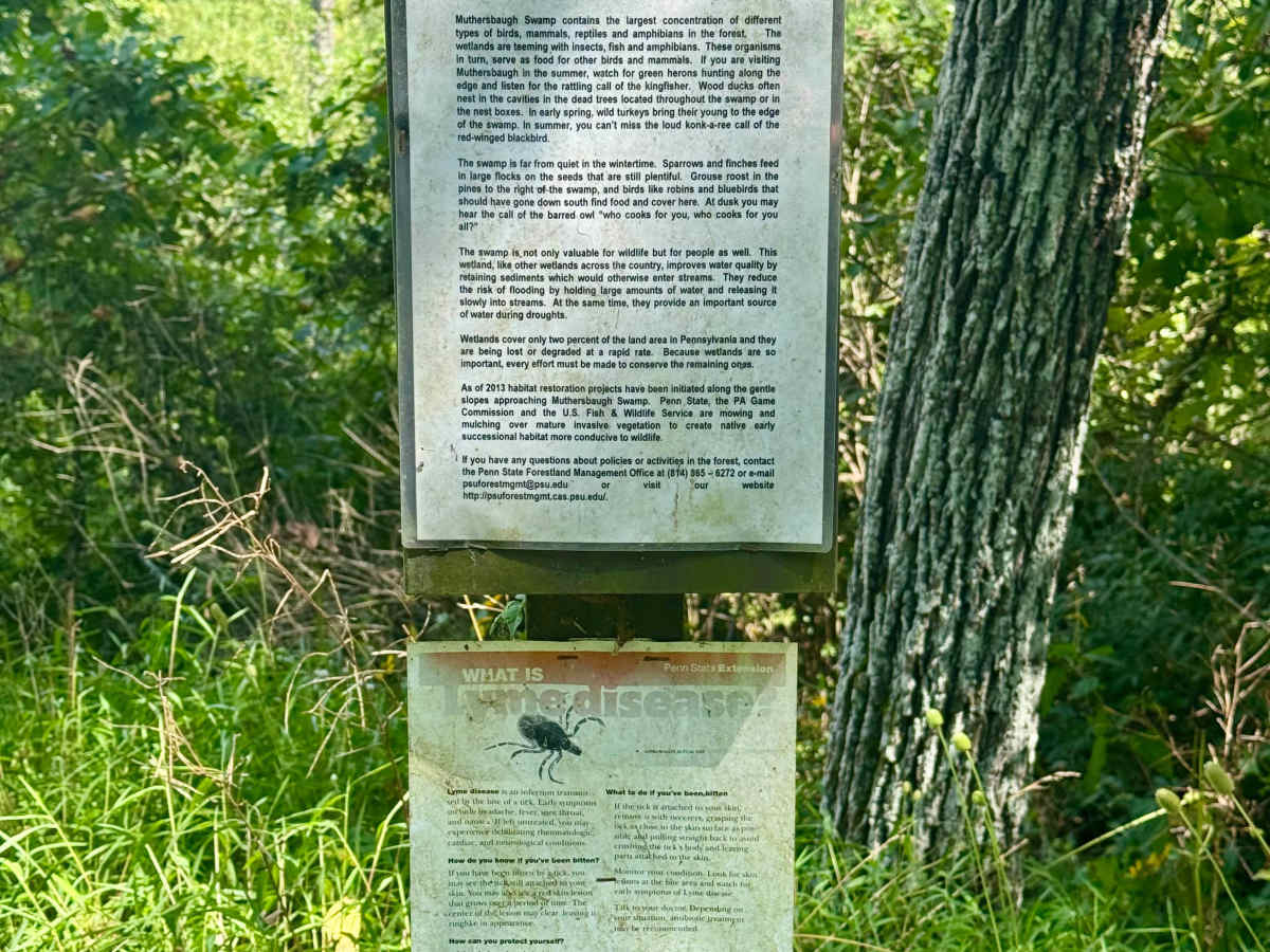
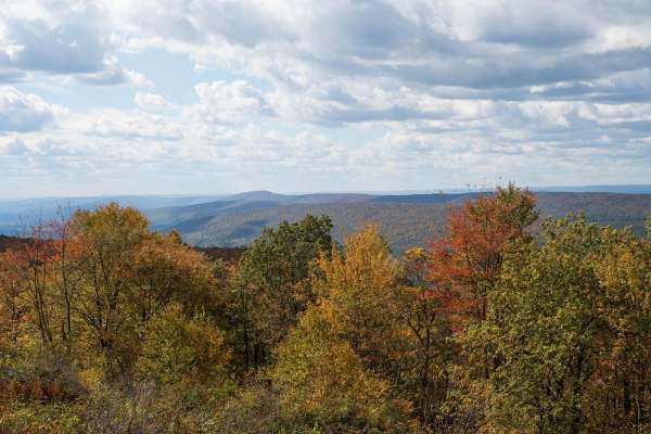
Also known as Township 538, this road is almost entirely in the Penn State Stone Valley Forest. Although this forest is adjacent to part of Rothrock State Forest, it is on land owned by Pennsylvania State University. It has two vistas, one onto Muthersbaugh Swamp about midway and one at the north intersection with Scare Pond Road. This road runs north-south between the aforementioned Scare Pond Road and Winchester Road to the south. In addition to the vistas, the north end features the Xi Sigma Pi Chestnut Demonstration Orchard. This is a nice scenic route into Stone Valley Forest. The swamp vista is more impressive than the one at the north end, but it is spoiled by some wires. Definitely worth making part of your travels in the Rothrock State Forest area.
History
The Chestnut Orchard was planted in 2003, and the information gathered here contributes to developing disease-resistant American Chestnut trees. The forest here was impacted by early iron production, leading to significant clear-cutting for charcoal along this track. In the 1930s and 40s, the federal government planted a variety of pine species here, and the area became a field laboratory for Penn State research and education in forestry and ecology.