Trail Overview
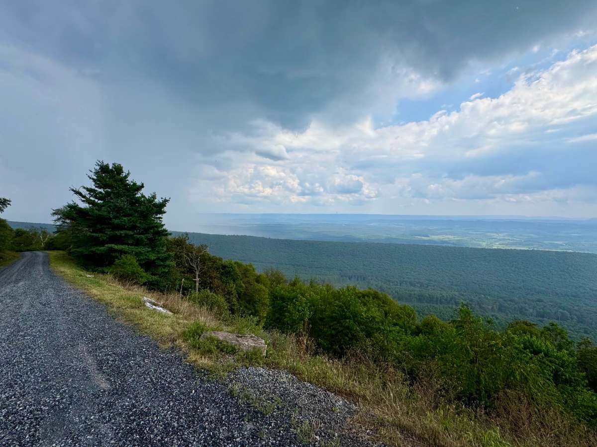
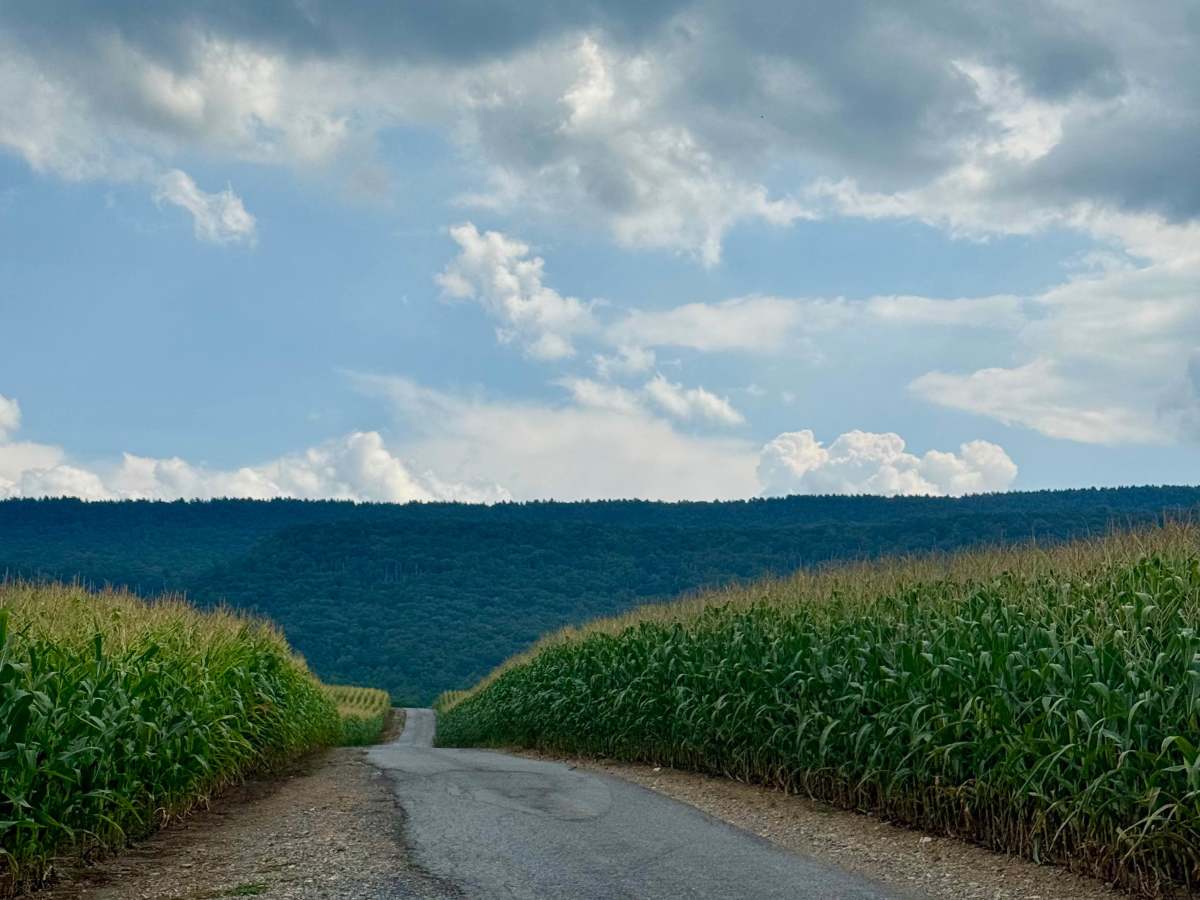
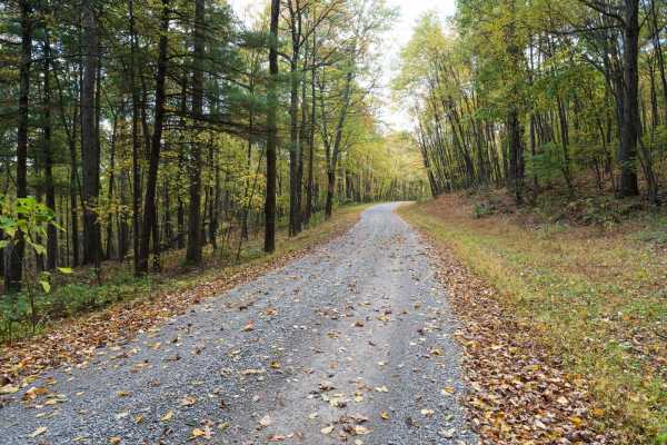
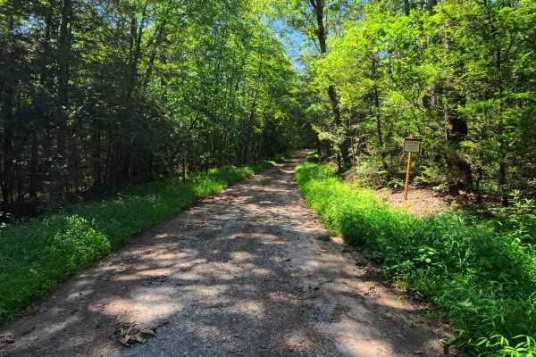
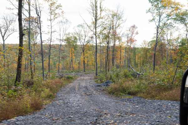
One of the most fun routes in Rothrock State Forest. The northern end begins in corn fields and passes through private property, so be respectful and stay on the trail here. It transitions from broken pavement to loose rock as it climbs into the state forest and ascends Tussey Mountain. At the intersection with Kepler Road, look for the signpost to stay on Pennsylvania Furnace Road or zoom in enough to ensure you take the correct path. At its peak, there is one of the most spectacular vistas in the Pennsylvania State Forests with an almost 270-degree view to the horizon from about 2200 feet above sea level. The vista looks south to Penn State's Stone Valley Experimental Forest and Tuscarora State Forest. Given that you'll spend more than an hour on this route, take advantage of other guided trails in the area and vistas or picnic facilities, and base the better part of a day around this. It's close enough to recreation opportunities in Stone Valley Experimental Forest and at Whipple Dam State Park to put them in play as well.
Difficulty
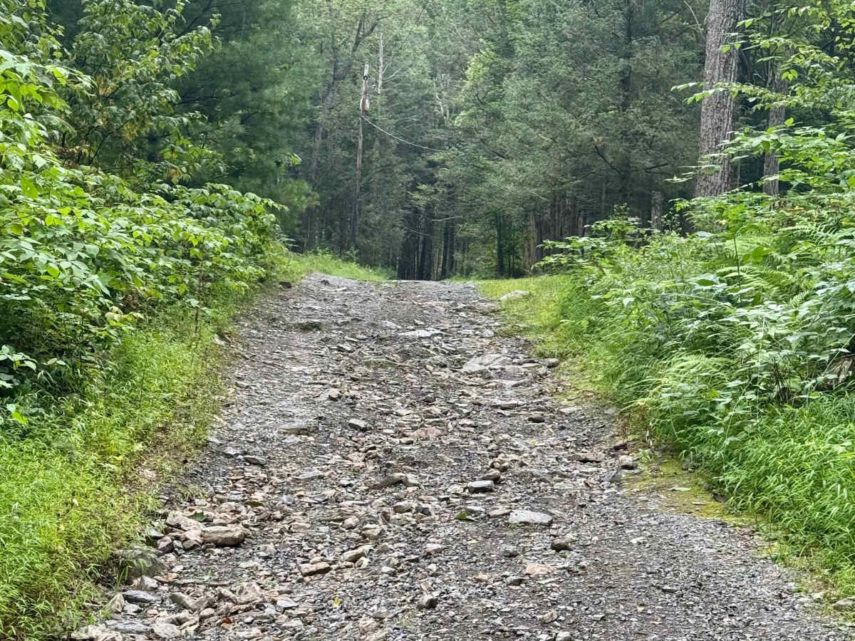
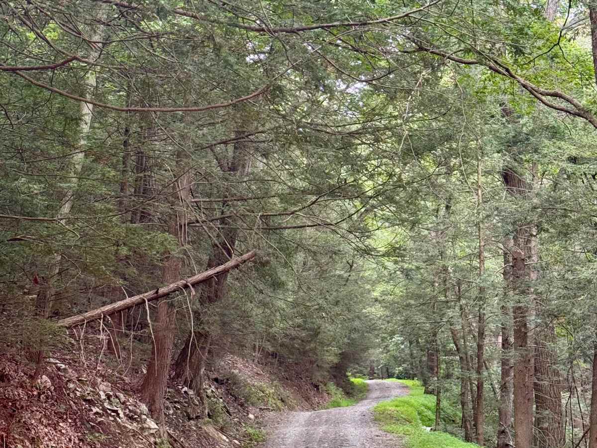
The north end is very rocky as it climbs up the mountain from the fields around Fowler Run. This part will require high clearance and, at times, 4x4. The rest of the trail is a typical Pennsylvania forest service road and should not be challenging in normal weather conditions.
History
Named for a historic iron furnace, this route reflects the area’s industrial past, providing access to the Pennsylvania Furnace and related ironworks. Road construction in this region was driven by the need to transport charcoal, raw materials, and finished goods during the height of iron production. The CCC later improved and maintained these roads for wildfire control, recreation, and forest management.