
Beginner Off-Road Trails
Near Rice Lake, Minnesota
Explore All Beginner Trails Near Rice Lake, Minnesota
Beginner Off-Road Trails Near Rice Lake, Minnesota
Discover the best beginner-friendly off-road trails near you. These easier, lower-rated trails are a great place to start — browse trail maps, check difficulty ratings, and find your next adventure.
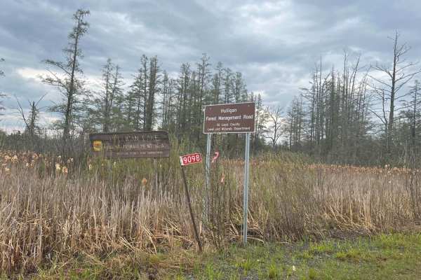
Hulligan Lake & Carol Truck Trail
Hulligan Lake Forest Management Road and Carol Truck Trail are seasonally accessible with most 4x4 vehicles. The gate at the entrance to Corol is visible from the highway to determine if the route is open. Watch for logging trucks and give way to any large equipment. Canoe launch and campsites are a...
Learn more about Hulligan Lake & Carol Truck Trail
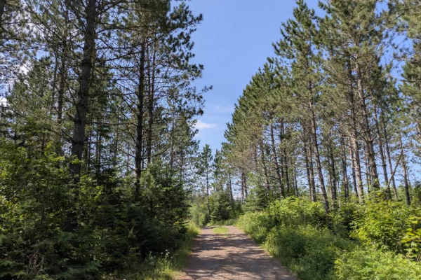
Destination Road
This trail is narrow and uneven, with a surface marked by rocks, puddles, and occasional washouts. It winds through dense forest, offering a quieter, more remote driving experience. Several trails branch off from the main route, including wide, well-maintained paths designated for snowmobiles and cr...
Learn more about Destination Road
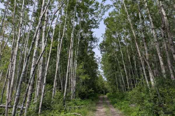
Pequaywan/Brimson Trail
The Pequaywan/Brimson Trail connects Camp 26 Truck Trail with Northeast Grade Road, offering a route that begins gently but grows increasingly challenging as it progresses. Starting from the Northeast Grade Road side, the trail winds through birch and aspen forest—narrow in places but generally smoo...
Learn more about Pequaywan/Brimson Trail
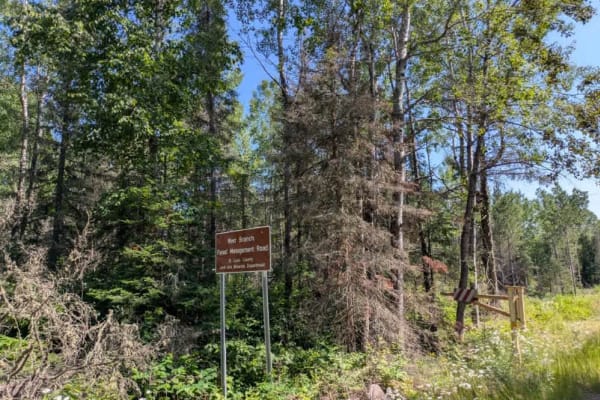
West Branch Trail
This well-maintained trail runs through dense forest and shows signs of regular use by logging vehicles, which have left sections of the surface corrugated and rough. The trail is relatively easy to follow at first, though it gradually becomes narrower and more overgrown the farther you travel. Seve...
Learn more about West Branch Trail
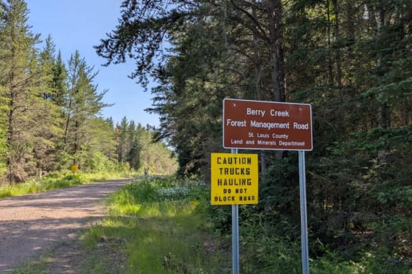
Berry Creek
This gravel trail is generally well-maintained, but it has sections with corrugations due to regular use by logging trucks and local traffic. It primarily serves as a logging route and passes a few private residences, so drivers should be alert for wide, fast-moving vehicles along the way. The trail...
Learn more about Berry Creek

121AA
This trail is accessed from Northeast Grade Road and begins with a steady ascent before narrowing and becoming increasingly rough as it progresses deeper into the forest. The further you travel, the more overgrown the route becomes, with vegetation encroaching from both sides and the surface deterio...
Learn more about 121AA

Linwood Lake Road West
This trail travels a considerable distance through forested terrain, following a winding and often bumpy route. The surface is heavily corrugated in places, likely due to frequent use by local residents, especially as the trail approaches Linwood Lake, which is surrounded by private homes. Given the...
Learn more about Linwood Lake Road West
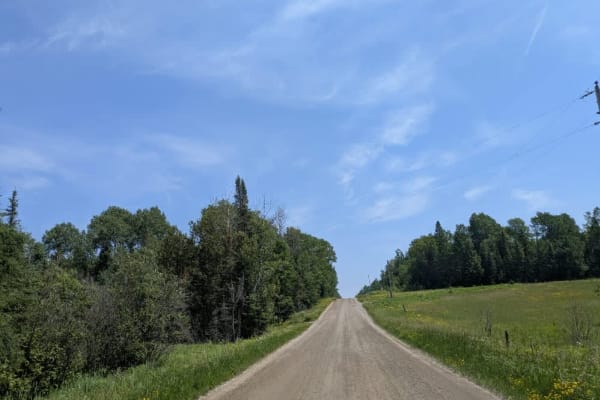
Long Lake Road
This trail serves as a connector between Whiteface Reservoir, Long Lake, and Lake Section 14. It begins off Highway 4, also known as Vermilion Trail, and follows a mostly straight route with some gentle winding sections. The surface is well-maintained gravel, making for a relatively smooth drive. Th...
Learn more about Long Lake Road
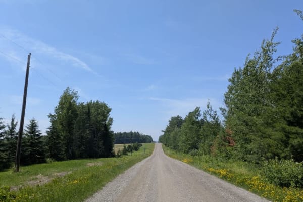
Lakeshore Drive
Lakeshore Drive is accessible via Long Lake Road and features a well-maintained gravel trail that winds through stretches of forest, interspersed with occasional small clearings. The route passes several residences, so it's important to drive carefully and be mindful of local traffic. As you approac...
Learn more about Lakeshore Drive
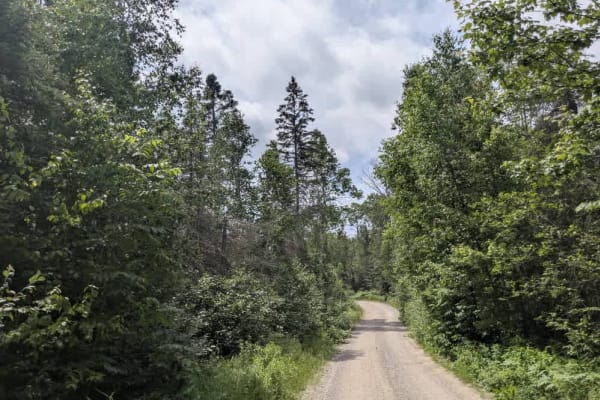
776
This trail stretches for a considerable distance as it winds through dense forest, offering a quiet drive on a fine gravel surface. While the route remains mostly flat, it is heavily corrugated in places, likely due to regular local traffic. Although there is no through access beyond a certain point...
Learn more about 776

771
This trail branches off from the Camp 26 Trail and is initially smooth, but then follows a long, rough path composed of dirt, gravel, and exposed rock. It winds steadily through dense forest, showing little sign of maintenance. While some fallen trees still lie across the route, most of the larger o...
Learn more about 771
North Loop Road
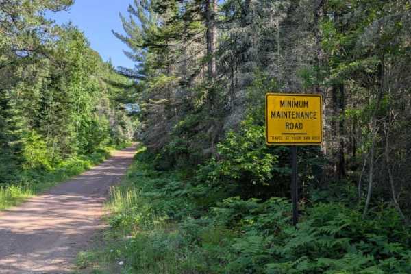
This minimally maintained trail branches off from Brimson Trail and is composed of uneven gravel with numerous potholes, puddles, and occasional muddy or rocky sections. As you continue deeper into the route, the trail gradually narrows and becomes more enclosed by vegetation. Several offshoot trail...
Learn more about North Loop Road
Alger Grade - Trail 1
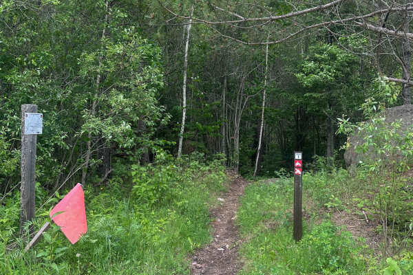
Trail 1 begins smooth and loamy as it winds through the pine trees before the rocks and roots increase in number. There are no especially technical obstacles, but the rock/roots serve as a good primer for what to expect in the rest of the system. All of the trails at Alger Grade are tight and narrow...
Learn more about Alger Grade - Trail 1
Colvin Forest Road
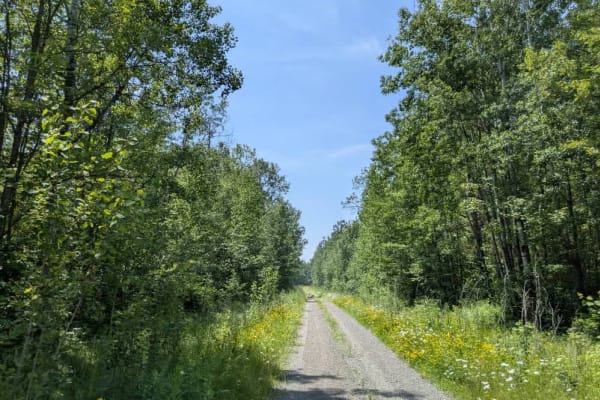
Markham Road leads into Colvin Forest Road and offers a quiet, lightly traveled route through the forest. The trail is narrow and overgrown in places, with occasional bumps and a few wet spots, but there is no significant mud to contend with under normal conditions. As you continue, the trail splits...
Learn more about Colvin Forest Road
Alger Grade - Trail 4
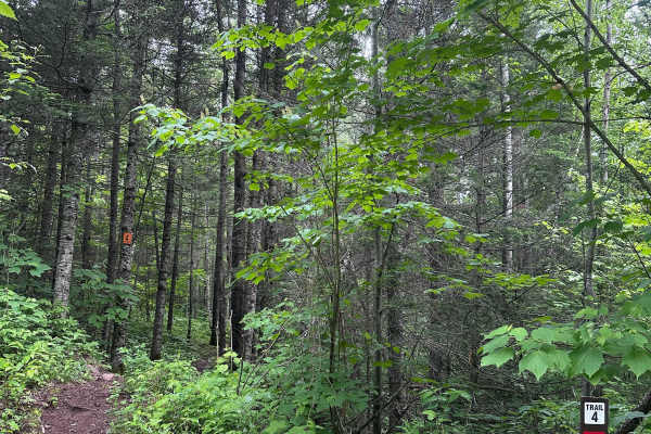
Trail 4 can best be described as a "breather trail." It's relatively flat, smooth, loamy, and about as flowy as it gets at Alger Grade. There are a couple of sections that have tight trees, but there are no serious technical obstacles to cross. Use this trail to cool down after trail 3 and to prepar...
Learn more about Alger Grade - Trail 4
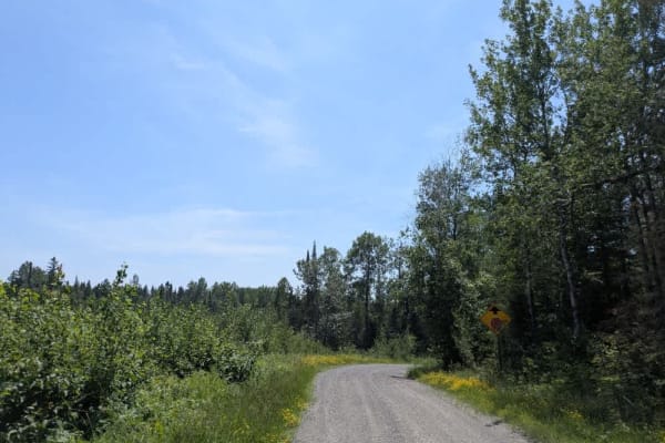
Markham Road
Markham Road is reached from the paved Vermilion Trail #4 and begins by passing a handful of rural homesteads before continuing into forested terrain. The road is well-maintained gravel and offers a relatively smooth drive through the woods. Along the route, travelers will come across the historic W...
Learn more about Markham Road
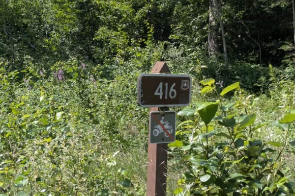
416
This trail is a scenic gravel route that remains wide and generally smooth for most of its length, although it features several ascents and descents, some of which are notably steep. The trail is restricted to non-motorized and licensed vehicle traffic--ATVs are not permitted. Along the route, the t...
Learn more about 416
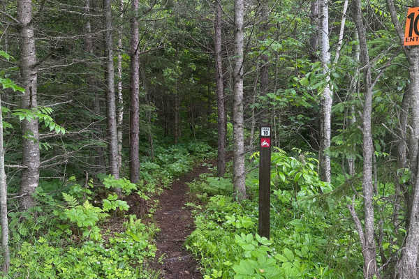
Alger Grade - Trail 10
Trail 10 is best considered easy to intermediate. The terrain is relatively flat and does not include any major technical features, steep climbs, or difficult rock sections. However, riders should still expect the usual Alger Grade mix of roots, rocks, and tight trees, which makes it more involved t...
Learn more about Alger Grade - Trail 10
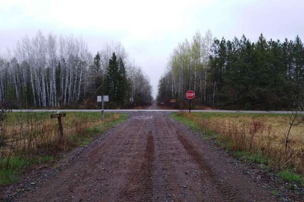
County Road 3 to Wisconsin Border
Carlton County Road 3 to the Wisconsin border on the Soo Line South is a section of converted rail grade that is 7.3 miles long and takes about 30 minutes with an average speed of 15.2 MPH. This converted rail grade is raised enough that it sheds water very well. Even on a rainy day or after several...
Learn more about County Road 3 to Wisconsin Border
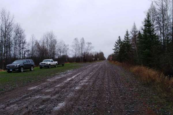
Nemadji to County Road 3
Nemadji to Carlton County Road 3 on the Soo Line South is a section of converted rail grade that is 9.4 miles long and takes about 30 minutes with an average speed of 16.4 MPH. This converted rail grade is raised enough that it sheds water very well. Even on a rainy day or after several days of rain...
Learn more about Nemadji to County Road 3
Beginner ATV trails near Rice Lake, Minnesota
Explore ATV-friendly trails near you. These trails are accessible for vehicles up to 50 inches wide, perfect for ATVs and smaller off-road machines.
Hulligan Lake & Carol Truck Trail
Hulligan Lake Forest Management Road and Carol Truck Trail are seasonally accessible with most 4x4 vehicles. The gate at the entrance to Corol is visible from the highway to determine if the route is open. Watch for logging trucks and give way to any large equipment. Canoe launch and campsites are a...
Learn more about Hulligan Lake & Carol Truck Trail
121AA
This trail is accessed from Northeast Grade Road and begins with a steady ascent before narrowing and becoming increasingly rough as it progresses deeper into the forest. The further you travel, the more overgrown the route becomes, with vegetation encroaching from both sides and the surface deterio...
Learn more about 121AA
Linwood Lake Road West
This trail travels a considerable distance through forested terrain, following a winding and often bumpy route. The surface is heavily corrugated in places, likely due to frequent use by local residents, especially as the trail approaches Linwood Lake, which is surrounded by private homes. Given the...
Learn more about Linwood Lake Road West
776
This trail stretches for a considerable distance as it winds through dense forest, offering a quiet drive on a fine gravel surface. While the route remains mostly flat, it is heavily corrugated in places, likely due to regular local traffic. Although there is no through access beyond a certain point...
Learn more about 776
Beginner UTV/side-by-side trails near Rice Lake, Minnesota
Find UTV and side-by-side trails near you. These trails accommodate vehicles up to 60 inches wide, ideal for UTVs, side-by-sides, and wider off-road rigs.
Hulligan Lake & Carol Truck Trail
Hulligan Lake Forest Management Road and Carol Truck Trail are seasonally accessible with most 4x4 vehicles. The gate at the entrance to Corol is visible from the highway to determine if the route is open. Watch for logging trucks and give way to any large equipment. Canoe launch and campsites are a...
Learn more about Hulligan Lake & Carol Truck Trail
121AA
This trail is accessed from Northeast Grade Road and begins with a steady ascent before narrowing and becoming increasingly rough as it progresses deeper into the forest. The further you travel, the more overgrown the route becomes, with vegetation encroaching from both sides and the surface deterio...
Learn more about 121AA
Linwood Lake Road West
This trail travels a considerable distance through forested terrain, following a winding and often bumpy route. The surface is heavily corrugated in places, likely due to frequent use by local residents, especially as the trail approaches Linwood Lake, which is surrounded by private homes. Given the...
Learn more about Linwood Lake Road West
776
This trail stretches for a considerable distance as it winds through dense forest, offering a quiet drive on a fine gravel surface. While the route remains mostly flat, it is heavily corrugated in places, likely due to regular local traffic. Although there is no through access beyond a certain point...
Learn more about 776
The onX Offroad Difference
onX Offroad combines trail photos, descriptions, difficulty ratings, width restrictions, seasonality, and more in a user-friendly interface. Available on all devices, with offline access and full compatibility with CarPlay and Android Auto. Discover what you're missing today!
Open Trail Map