Trail Overview
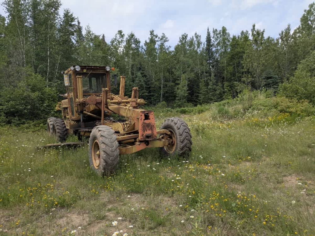
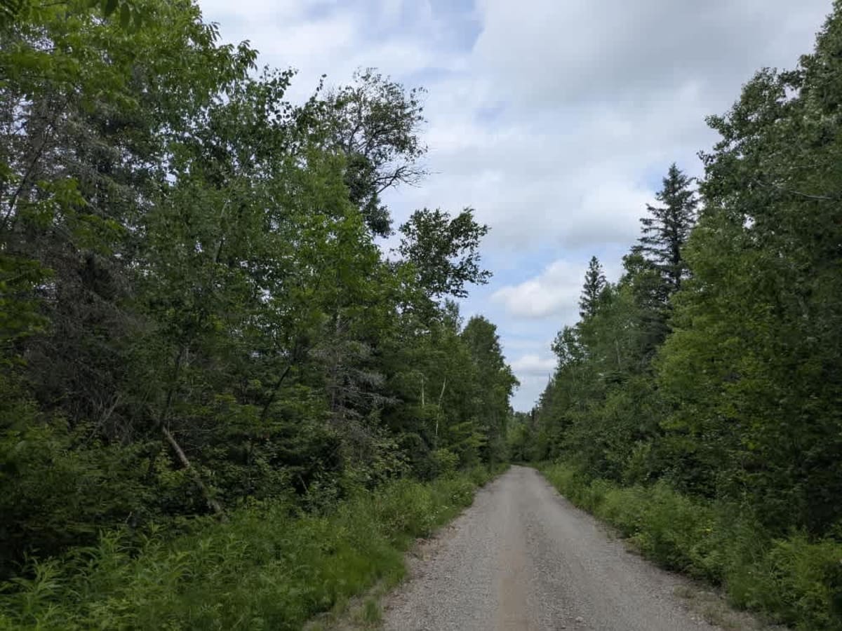
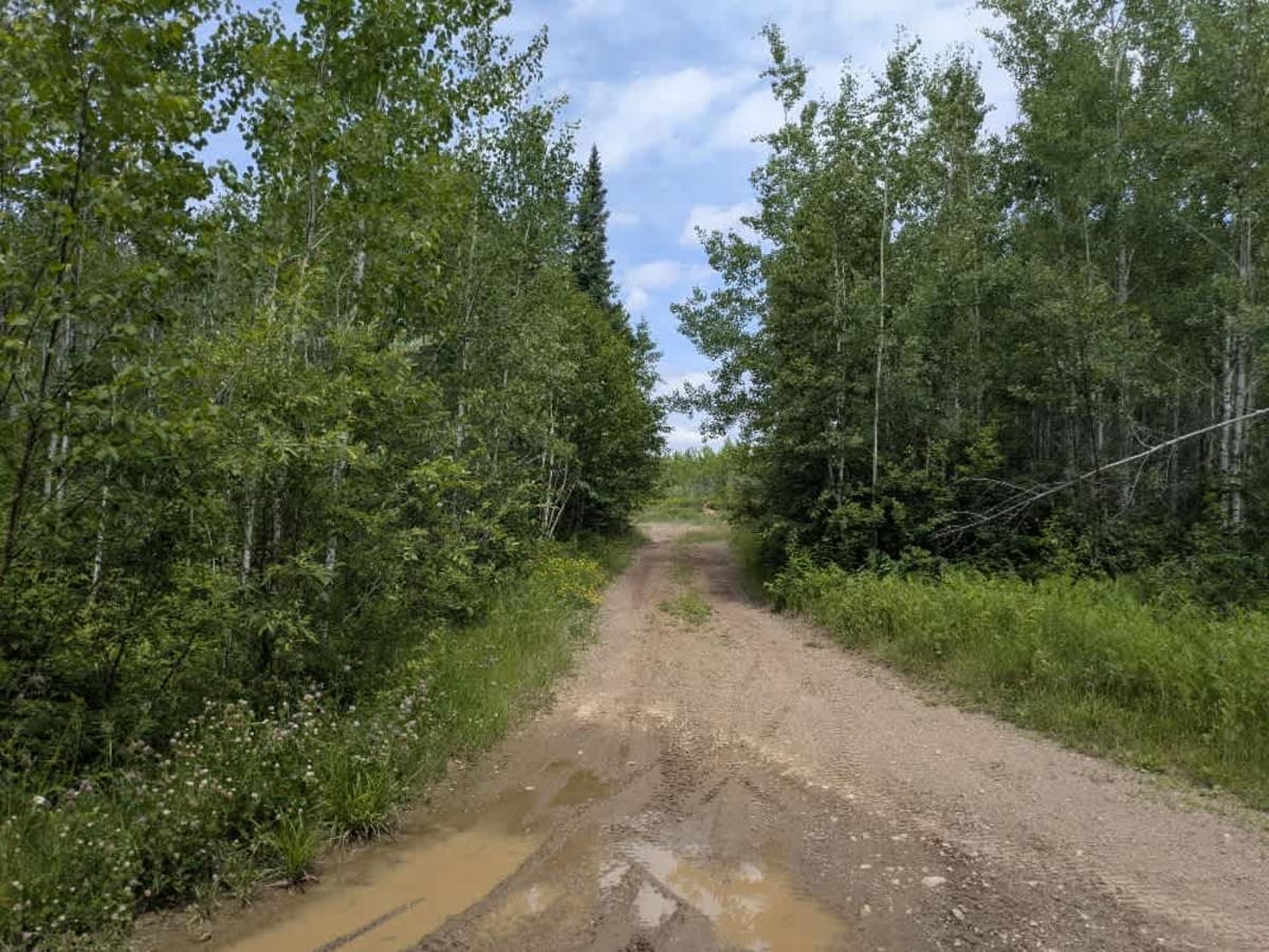
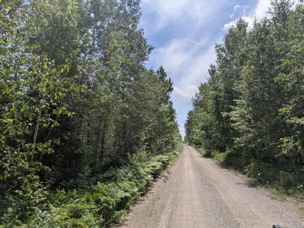
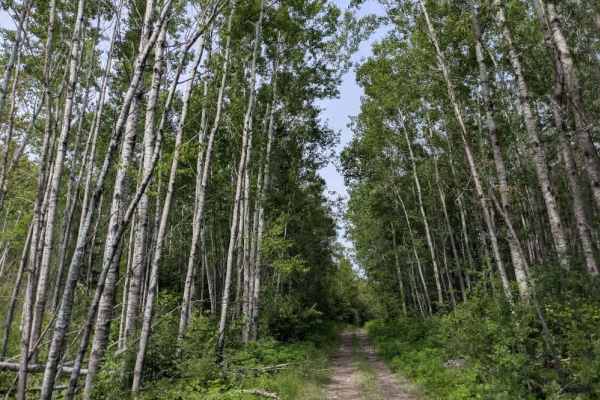
This trail stretches for a considerable distance as it winds through dense forest, offering a quiet drive on a fine gravel surface. While the route remains mostly flat, it is heavily corrugated in places, likely due to regular local traffic. Although there is no through access beyond a certain point, the trail does lead toward private land, so it's important to stay alert for other vehicles. The surrounding forest is thick and scenic, with numerous smaller spur trails branching off. Most of these offshoots appear to be more suitable for ATVs, side-by-sides, or snowmobiles, particularly during the winter months when snow coverage allows for more travel options. The main trail eventually arrives at Linwood Lake, which is bordered by private residences and does not offer public access or recreational facilities. There are no formal or dispersed campsites along the route, and no amenities are available, including restrooms, trash bins, or drinking water. Cell service may be unreliable or entirely absent in some sections, so visitors should be self-sufficient and plan accordingly.
History
Superior National Forest was established in 1909 by President Theodore Roosevelt to protect the region's watersheds and natural resources after years of heavy logging and mining. The area has long been home to the Ojibwe people, who continue to maintain cultural ties to the land. In 1978, the Boundary Waters Canoe Area Wilderness within the forest was given added protection, making it one of the most visited wilderness areas in the U.S. today.