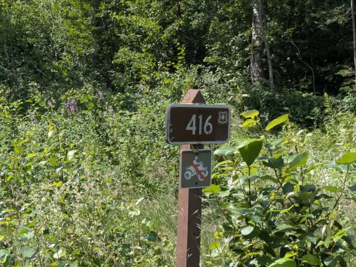
Trail Overview
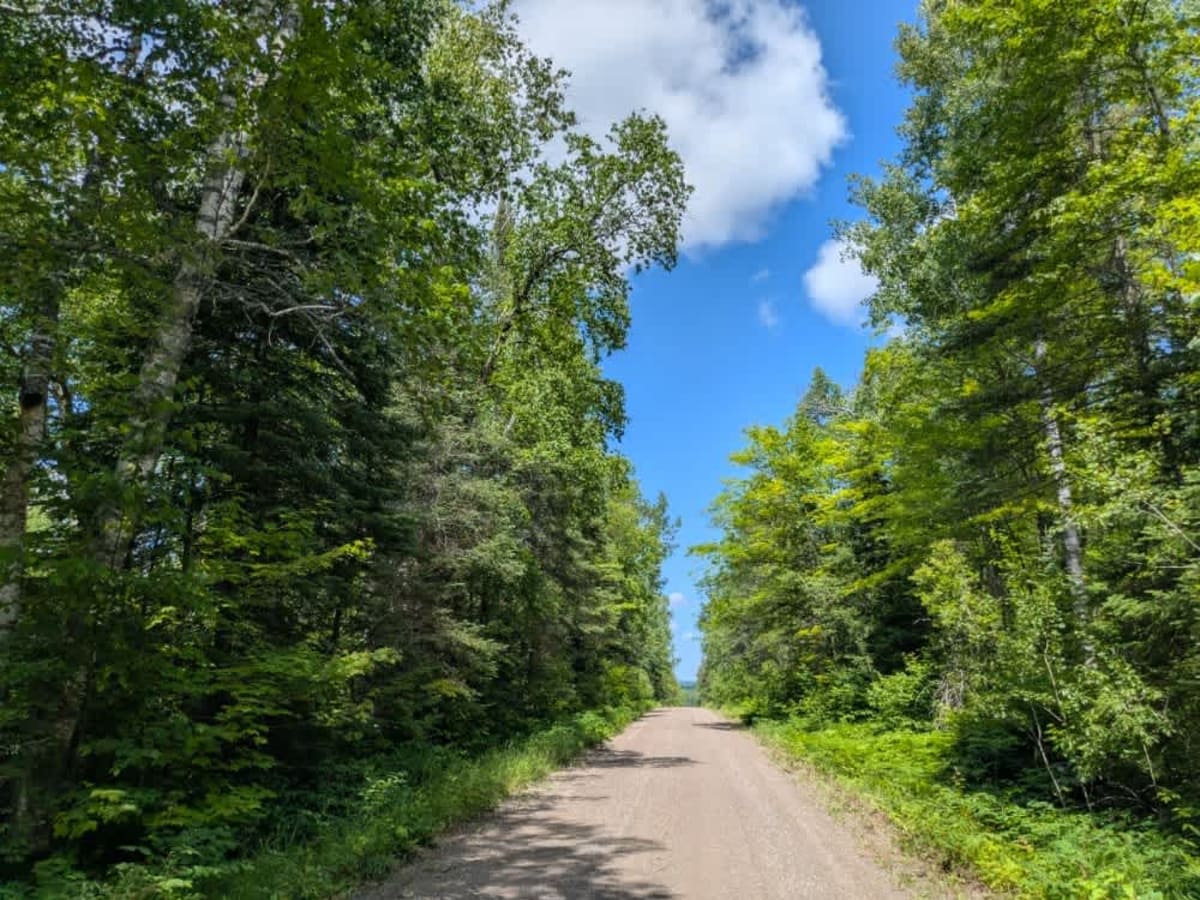
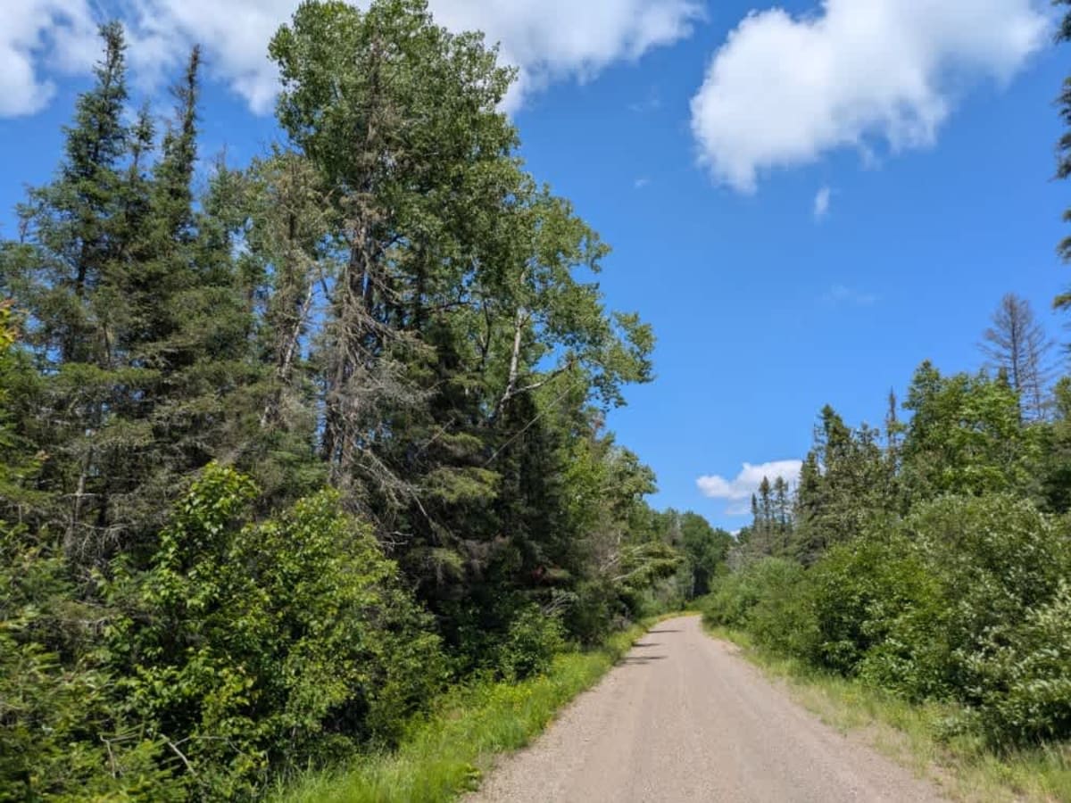
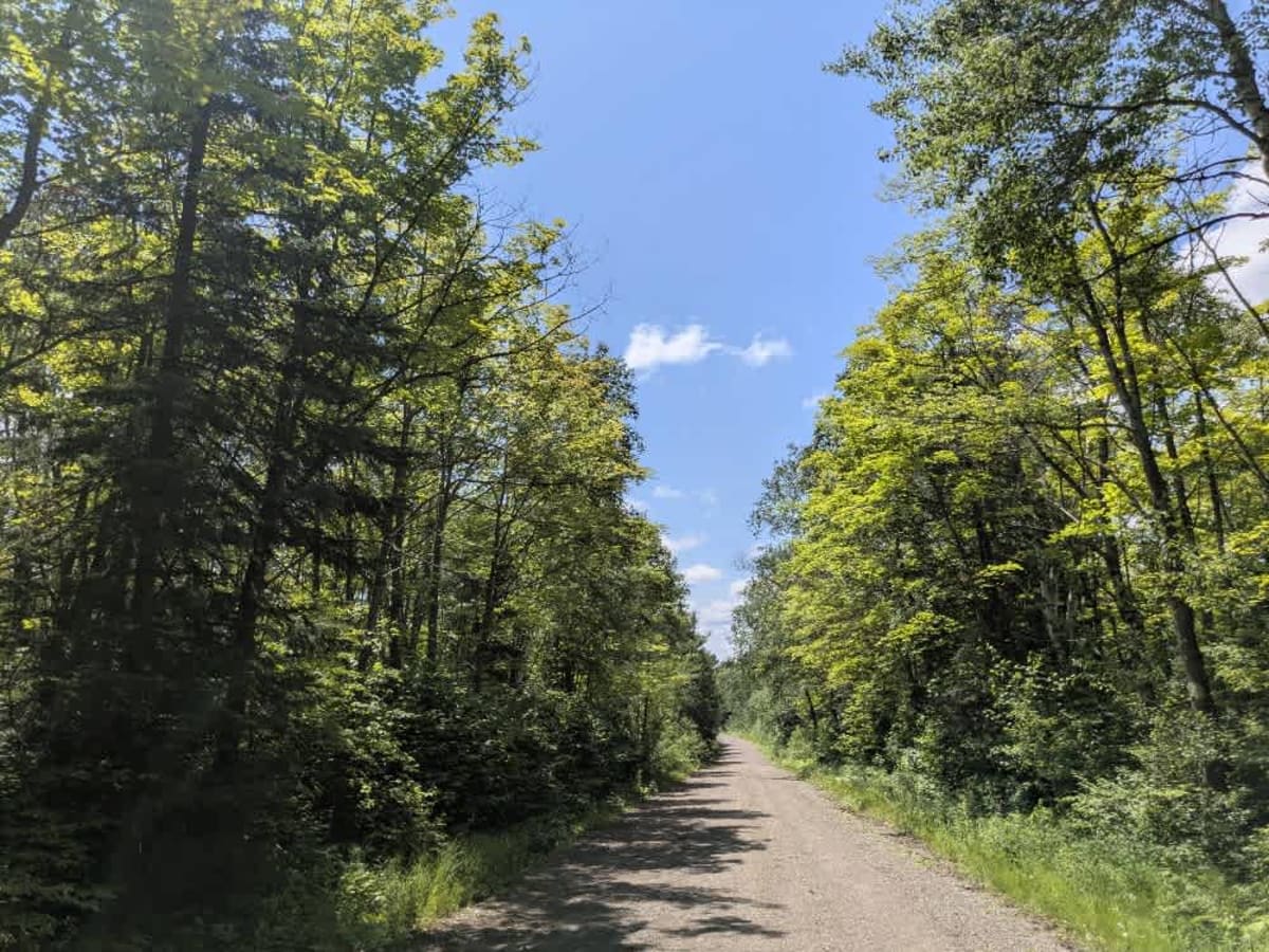
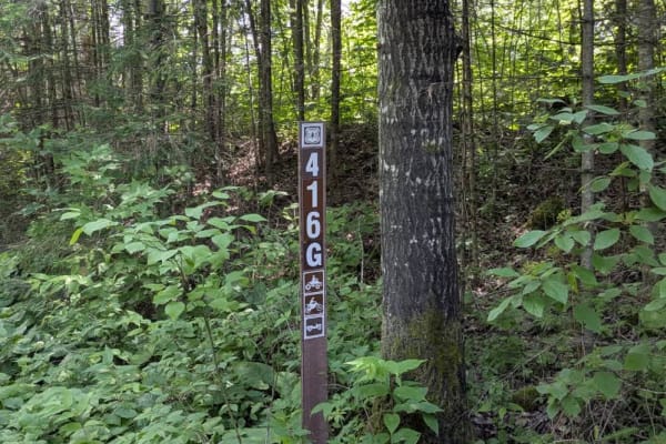
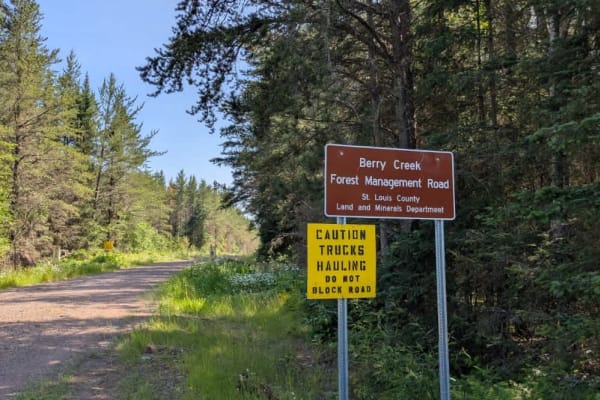
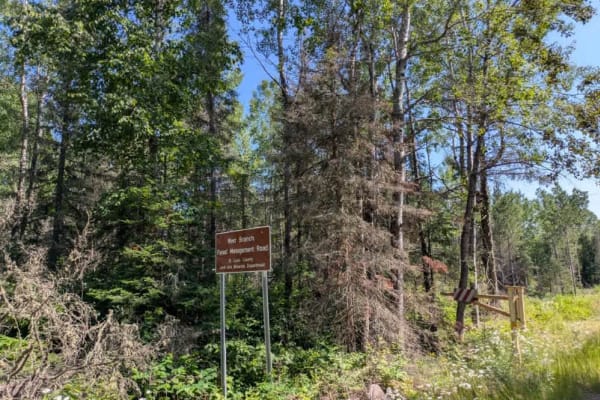
This trail is a scenic gravel route that remains wide and generally smooth for most of its length, although it features several ascents and descents, some of which are notably steep. The trail is restricted to non-motorized and licensed vehicle traffic--ATVs are not permitted. Along the route, the trail intersects with several ATV trails and passes by a designated trailhead. One spur, marked as 416G, branches off partway through the route. Toward the end, the trail concludes at a turnaround with a T-junction, where two narrower, overgrown trails split off to the left and right. These side trails appear suitable for smaller, high-clearance vehicles and could offer a bit more challenge and exploration. Despite the presence of some private land along the corridor, the trail remains quiet, offering a peaceful ride through a predominantly natural setting. There are no formal or dispersed campsites directly on the trail, and no amenities such as restrooms, trash bins, or potable water. Cell coverage may be unreliable or absent, so come prepared.
Difficulty
The trail is maintained but can develop light overgrowth between trims, especially in the summer months. Commonly used local OHV traffic, the path remains visible and passable.